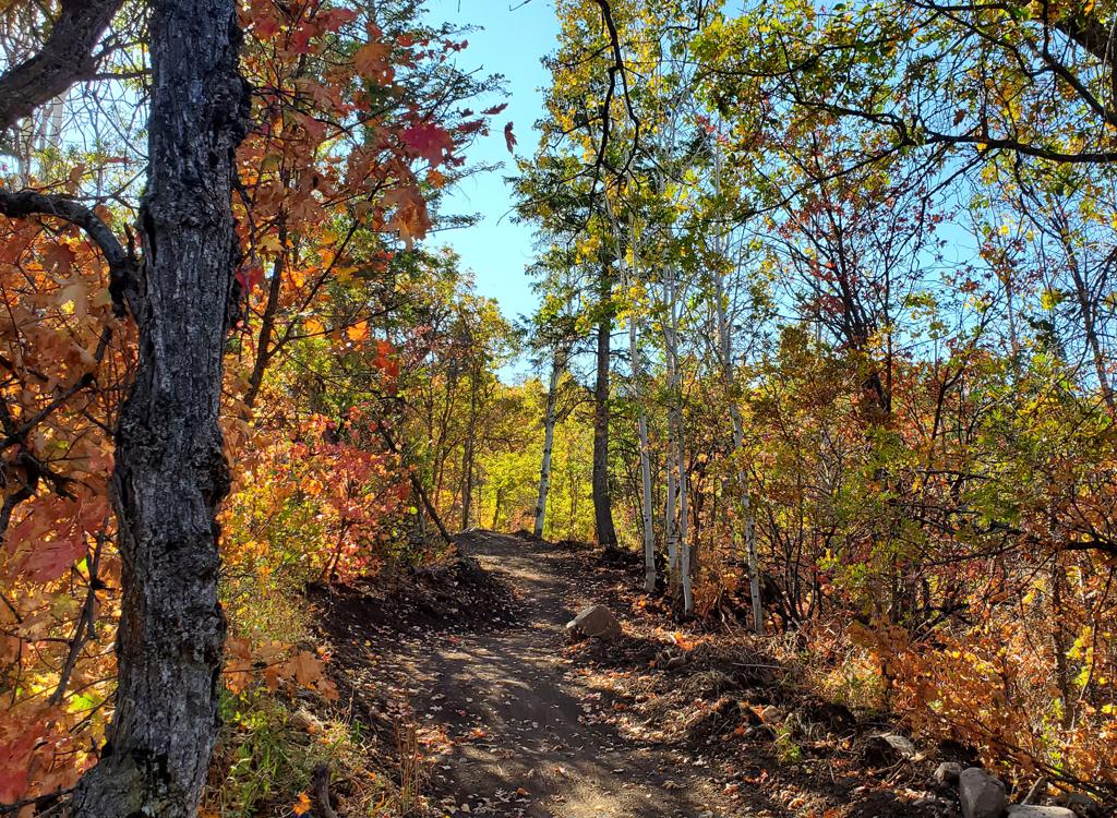

The Wild Rose lower trail extends from Lakeside Drive just off US-89 up to the Wild Rose trailhead. It is two-way, providing a non-pavement way for local riders to climb to the Wild Rose trail system, and a downhill for riders coming from Wild Rose. For out-of-towners, the trail is a final fling as they descend 2.3 miles and 850 vertical feet -- while the guy who drew the short straw drives the car down the hill.


From US-89, turn east on Eagle Ridge Drive. Stay on Eagle Ridge (straight) at the roundabout. Climb the hill for about two miles. Watch for Eaglepoint Drive on the right at N40 49.803 W111 53.771. (If you reach the golf course, you just missed it.) Drive 0.2 miles on Eaglepoint and turn left uphill on Sky Crest Lane. The parking lot is at the end of the road. Find the paved path to the left of the bathroom. When it hits a T intersection with dirt trail, turn left downhill.

Turn off US-89 at Eaglegate Drive. Keep straight at the roundabout. The road will veer left behind the apartments to become Lakeside Drive. Watch for the trail sign on your right. There's an indent in the curb for your car.

There are dedicated parking spots alongside the trail as it crosses Edge Crest Lane and at the top of Winter Lane as it meets Parkway Drive (where the uphill trail continues).
You can also turn onto the trail from the asphalt extension of the lower Bonneville Shoreline Trail on Eaglepoint Drive if you're coming from the BST trailhead.

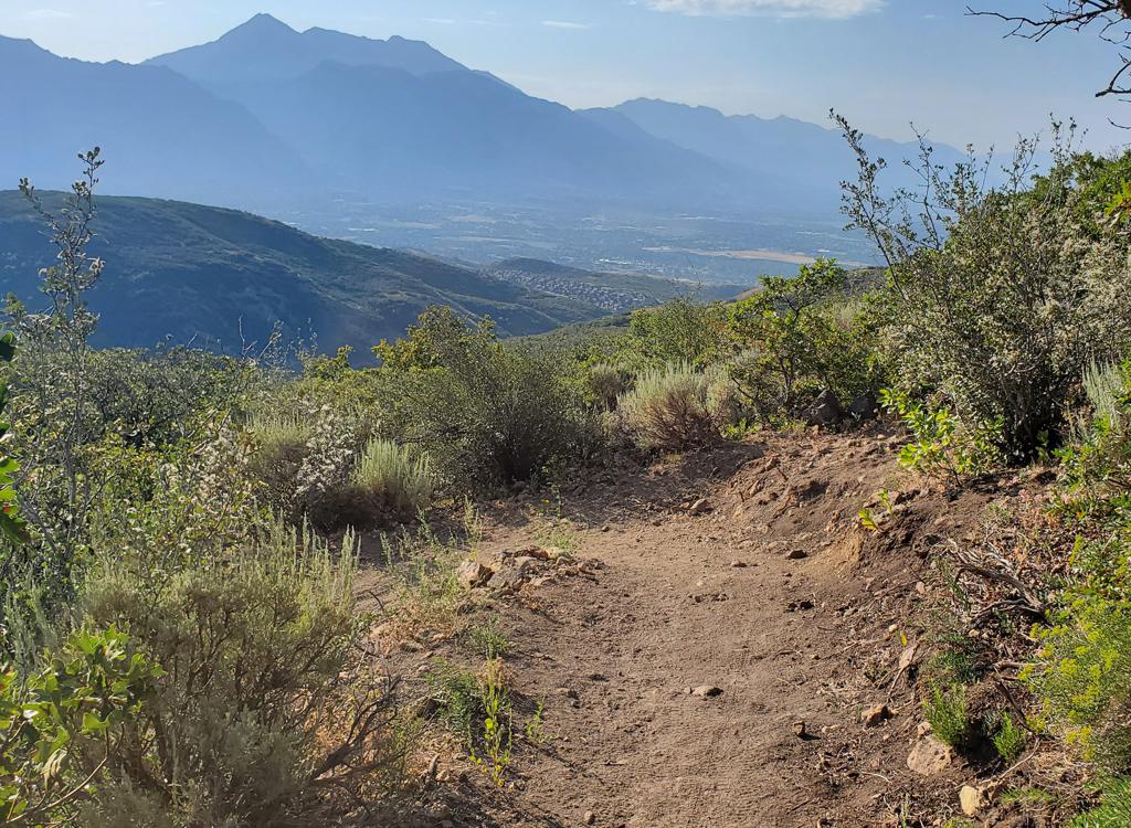
The lower Wild Rose trail is divided into three segments on the Trailforks app. The upper section starts at the trailhead, crosses Eagle Pointe Drive, and ends as you reach Parkway Drive. It's called "Wild Rick" and is 0.9 miles in length if you include the first stretch between the trailhead and Eagle Pointe.


Nice climbing route for locals headed for the Wild Rose trail system or the Bountiful/Ensign Peak BST. For those who've driven to the trailhead, it's a decent downhill to top off your day.


From US-89, turn east on Eagle Ridge Drive. Stay on Eagle Ridge (straight) at the roundabout. Climb the hill for about two miles. Watch for Eaglepoint Drive on the right at N40 49.803 W111 53.771. (If you reach the golf course, you just missed it.) Drive 0.2 miles on Eaglepoint and turn left uphill on Sky Crest Lane. The parking lot is at the end of the road. Find the paved path to the left of the bathroom. When it hits a T intersection with dirt trail, turn left downhill.
Lakeside Drive:
On US-89 just south of Eagle Ridge Drive, turn east at Eaglegate Drive. Keep straight at the roundabout. The
road will veer left behind the apartments to become Lakeside Drive. Watch
for the trail sign on your right. There's an indent in the curb for your
car.