Webb Hill in St. George
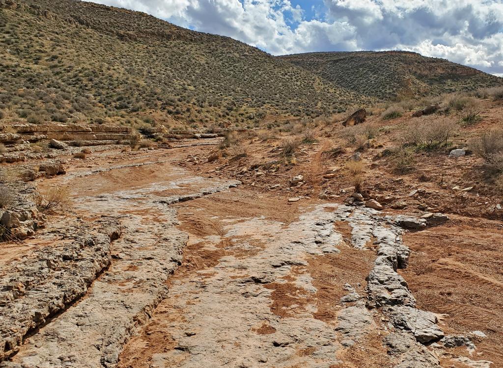
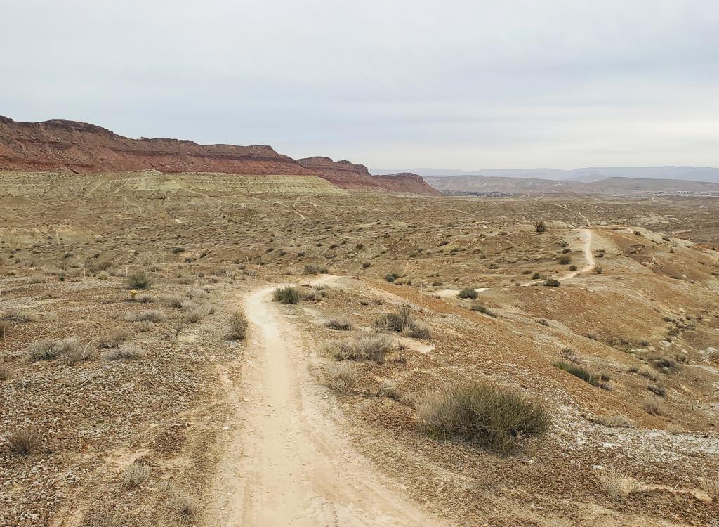
The Kentucky Lucky Chicken trail circles the rough-looking mountain southeast of St. George called Webb Hill. You've seen the hill. It's the little mountain with the radio towers on top, just east of I-15 and south of the Virgin River. The trail requires expert riding skills, but an upper-intermediate can manage -- with a lot of dabs and walkovers.
The soil and rock on Webb Hill seems resistant to moisture, so I think this trail can be considered a year-round ride.


Clockwise, the loop starts with a lot of tricky riding on the climb uphill. Intermediates will immediately become discouraged. I find the clockwise direction very challenging for the first mile, but the reward is easier romping on the following miles.
On the southeast corner, the rock challenges come closer together, and at times seem constant.


Sometimes hard to get in position for a sudden turn on a rock outcrop, because you're so busy looking at your front tire as you hit sharp rock ledges. It takes a bit of experience to ride this trail cleanly. I'm not even close to doing that.


At the south corner, you reach the highest point of the ride, as the trail crosses over the dirt road just below the radio towers.


Fun trail for expert riders, very much worth riding, but a trickier ride than you'd think. Good bad-weather ride close to town. Great for a quick ride as you arrive in town, or the morning you depart. Nice views over the St. George area.
0.0 Find trail west (upper) corner
N37 03.954 W113 33.951
0.1 ATV and DH route cross
N37 04.031 W113 34.061
0.2 Keep R (L = DH jump)
N37 04.071 W113 34.091
0.6 DH crosses, keep straight
N37 04.105 W113 34.301
1.3 Critical fork, R uphill
N37 04.041 W113 34.614
1.4 DH crosses, keep level
N37 03.980 W113 34.621
1.5 DH crosses N37 03.941 W113 34.719
Crosses several times, stay level
2.2 Cross tower road
N37 03.864 W113 34.427
2.3 Cross DT N37 03.848 W113 34.404
2.4 Stay R along cliff as DH goes L
2.8 First of 3 sharp turns along cliff edge!
3.8 Back at parking

From I-15 southbound, take the Bluff Street exit. Turn left onto Riverside. Go 1.5 miles east. At River Road, turn right (south). Go about a mile south and turn right onto Ft. Pierce Drive North. Go about 0.3 miles and turn left onto Bloomington Hills Drive. Watch for the south end of Ft. Pierce Drive and turn right. The second left is Hillrise Ave, heading steeply uphill. You can park on the left where the pavement ends and pedal uphill, or drive another 0.4 miles uphill and park in the rock-lined spot on your right. The singletrack starts at the upper (northwest) corner for a counterclockwise ride. To go clockwise, cross the dirt road to the southbound trail.
Note: The Larkspur paved trail (coming uphill from the south Virgin River paved trail) ends on Hillrise Circle, directly opposite the dirt road. As you enter the circle, turn right, cross Fort Pierce Drive, and pedal uphill. See the St. George paved trails page for paved path GPX files.
Bathrooms: no
Camping: no
Water: no
Single-page riding guide
GPS Track File:
Kentucky Lucky Chicken Track
Lodging, camping, shops: Links to St. George area resources


