The loop tying the Wasatch Crest and Midmountain Trail is a big ride with substantial climbing at high elevations. It's a tough trip, for very conditioned riders only. There are several ways to do it, some much harder than others. Your top altitude will be 10,000 feet. Starting elevation depends on your choice of trailheads.
My personal recommendation: Start from Park City. Climb via CMG or Armstrong. Take either Pine Cone Ridge or CMG to Apex to Keystone to Shadow Lake for your climb. Drop down Spiro to finish.

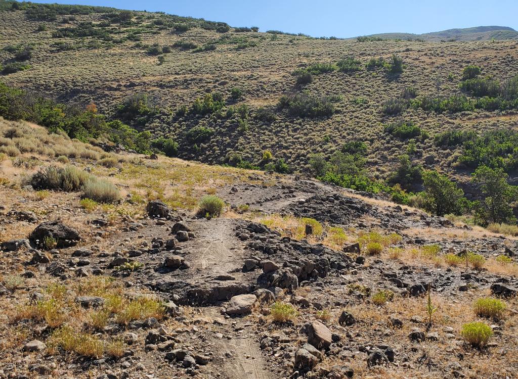
There are two popular starting points: The classic start at the hairpin turn in the Guardsman Pass road, with 0.6 miles of doubletrack to intersect the loop at Scott's Pass, and the viewpoint parking right at the top of Guardsman Pass, from which you reach Scott's pass by descending the Scott's Bypass trail. To start the loop from Guardsman Pass yeilds about 100 vertical feet less climbing total, but it adds 200 feet of climbing to the final big climb at the end of the ride.
A third option, a brutal climb, is to ride up Mill D North Fork to meet the trail near Desolation Lake.
You can ride the loop either way, but almost everybody does it clockwise, taking the Wasatch Crest north, then descending to the Midmountain trail, with a climb back up to Scott's Pass at the end of the ride. My descriptions and track files assume that you'll go the traditional clockwise direction. Options for climbing back to Scott's Pass include Pine Cone Ridge, Powerline/Shadow Lake, CMG/Apex/Keystone/Shadow Lake, Thaynes Road, or CMG/Apex/Dead Tree.
There's a bathroom at the Guardsman Road trailhead. Water, food, and bathrooms are found at the Red Pine Lodge on the Midmountain Trail, about 10 miles into the ride.

Guardsman Road start, return via Powerline: 23.7 miles, 3300 feet climbing
Climb doubletrack from the hairpin turn in the Guardsman Road. Finishes with a steep grunt up from the Spiro intersection up the Powerline Trail to Shadow Lake.
TH info: Wasatch Crest page
Track: Download GPX
Guardsman Road start, return via CMG to Thaynes Road to Apex to Keystone to Shadow Lake: 26.2 miles, 3400 vertical feet climbing
The climb up CMG-Apex-Keystone is 2.5 miles longer, but it's at a much more gentle grade, with frequent views and varied terrain. This is my preferred climbing route and is our "featured loop". See below for the mile-by-mile.
TH info: see sample ride bottom of page
Track: Download
GPX
Alternate, from Guardsman Pass: GPX


Guardsman Pass start, return via CMG to Apex to Dead Tree to Scotts Bypass (pure loop): 26.5 miles, 3400 feet climbing
If starting from DT below pass: 27.8 miles, 3900 feet climbing
Bigger loop, more climbing. Coming at the end of the ride, the Dead Tree climb will be torture. For hero climbers only.
TH info: Wasatch Crest pageWasatch Crest page
Apex climb: Scott's Loop page
Track: Download GPX
Guardsman Road start, return via Thaynes Road to Keystone to Shadow Lake: 29.7 miles, 3300 feet of climbing
This is a fairly straight-forward route, not one of my favorites because of the gravel-road climb. A bit longer, because you stay on Midmountain for three additional miles.
Track: Download GPX


With Guardsman Road start: 27 miles
Pine Cone Ridge can replace the many longer, more confusing, or steeper routes from Midmountain back to Scott's Pass.
TH info (and ride description): Pine
Cone Ridge page
Mill
Creek to Pine Cone Ridge
Reynolds Flat Mill D to loop w return climb via Powerline: 30.3 miles, 4300 vertical feet of climbing.
This route will give you a 4-mile climb via Mill D to reach the loop just above Desolation Lake. The climb is 1350 vertical feet from a starting altitude of 7300. There are some pretty steep sections, but not hike-a-bike for strong climbers.
TH info: Mill D page
Track: Download GPX

This is a more-brutal option, involving significant climbing. Connect to the loop by riding up the Mill Creek Trail to reach the Wasatch Crest at the Connector Trail to the Midmountain. Mill Creek is a fee area. You can only ride your bike on the upper Mill Creek trails on even-numbered days.

Dog Lake TH to Crest Connector, climb by Powerline: 30.9 miles, 4400 feet climbing. Via CMG-Apex-Keystone: 33.4 miles, Via Pine Cone Ridge: 30.5 miles
The Mill Creek trail is 4.3 miles with 1400 vertical feet of climbing, starting from the parking area at 7600 feet elevation. This is a really big ride, with a minimum total 4300 feet climbing.
TH info: Epic
Loop page Mill Creek page
Track: Powerline
Although Wasatch Front riders may drive a few minutes longer before starting their ride, the Park City start offers the advantage of a more classic ride profile. That is, it front-loads the climbing, so you're not struggling 2000 vertical feet uphill right at the end of your long day. But the Park City starts require more climbing and are longer distances. The exception is to intersect the loop at Red Pine Lodge (you'll need to ride The Canyons gondola lift).
There are multiple starting points. It just depends on where you want to park, and how much climbing you want to do. Another minimal-climbing option (but with longer miles) is to drive to the Silver Lake Lodge at Deer Valley and take the relatively flat southern half of the Midmountain Trail to the point where you'll enter the loop.

Via Powerline: 29.7 miles, 3800 feet climbing
Via Apex: 32.2 miles
Rob's Trail is a nice climbing route from the northern end of the loop. There's limited parking at the trailhead, which is popular with hikers. At the top of Rob's, you'll ride Midmountain 1.5 miles to reach the junction of the Crest Connector to Midmountain.
TH info: Rob's Trail page
Track: Download GPX
Via Powerline: 29.7 miles, 3800 feet climbing
Via Apex: 32.2 miles
Climb from the base of The Canyons. This is the best option for riders who are staying at the resort. Ambush is a fairly straight-forward climb up to an intersection with Rob's, then on to Midmountain 1.5 miles from the Crest Connector.
Track: Download GPX


Via Powerline: 31.8 miles, 3800 feet climbing
Via Apex: 34.3 miles
Via Pine Cone Ridge 31 miles, see below
Good option from Park City Mountain Resort. Less steep than Spiro, but adds a few extra miles, because you can't descend Armstrong (it's a one-way trail).
TH info: Armstrong Trail
page
Track: Download GPX
Via Powerline: 28.7 miles, 3800 feet climbing
Via Apex 31.2 miles
The "Classic" access from Park City. Start at Park City Mountain Resort (PCMR).
TH info: Spiro Trail page
Track: Download GPX

 ski slopes on Midmountain, with Deer Valleys ...")
Via Apex: 30.6 miles, 3700 feet climbing
A less-steep climbing route, but a little harder to find. Starts as doubletrack near the southern-most lifts at PCMR. Crosses Midmountain and connects directly to Apex on the initial climb.
Track: Download GPX
Via CMG to Apex: 38.0 miles, 3100 feet climbing
Via Powerline: 37.5 miles, 3200 feet climbing
Via Thaynes Road: 36.9, 3100 feet climbing
Up Team Big Bear to Guardsman Rd: 34.9, 2500 feet
This route is a longer distance, but removes over 1000 vertical feet of climbing. It starts right at the southern end of the Midmountain Trail, but you'll need a few miles to reach a climbing route to Scott's Pass. (This is the smoothest and easiest section of Midmountain.)
Via Team Big Bear Trail Page
Track via Team Big Bear: Download
GPX


King Road. Boring. Intersects Midmountain, or you can continue up Thaynes for a boring DT climb.
Daly Canyon-Empire Link to Midmountain. Significantly harder to navigate. Adds additional climb after descending to Daly Grind.
Sweeney to Drift Road: Blows up your legs early as you fight over the rocky tech areas in mid-Sweeney. But it's a fairly direct and short route uphill.
0.0 Onto DT north N40 36.822 W111 34.271
0.7 Scott's Pass, L uphill N40 36.992 W111 33.511
1.0 Top of Puke Hill
5.0 Desolation Lake, The Spine
5.1 Keep R uphill (L = Mill D No)
N40 39.560 W111 35.845
7.6 R to Crest Connector N40 41.204 W111 36.072
(L = Mill Creek)
7.9 Straight
8.8 Join Midmountain, keep straight (R)
N40 41.488 W111 35.134
11.4 Red Pine Lodge, keep straight through
N40 40.658 W111 34.675
14.6 Keep L on MidMtn (R = Ironman) N40 39.625 W111 33.364
16.4 Hard L (R connects to Ironman) N40 40.060 W111 32.490
18.4 R uphill (L = Armstrong) N40 39.099 W111 32.288
20.3 L downhill (R = Powerline) N40 37.963 W111 32.180
Then rapid R on Midmountain
21.1 R uphill on Crescent M.G. N40 38.182 W111 31.514
22.1 L uphill on Thaynes Rd N40 37.822 W111 32.017
22.5 R uphill on Apex ST N40 38.018 W111 31.760
23.1 R on Keystone N40 37.780 W111 31.869
24.1 R on DT N40 37.100 W111 32.641
Then cross to Shadow Lake trail
24.2 Keep straight across to ST N40 37.075 W111 32.736
25.0 Hard L on Blazing Saddle N40 37.004 W111 33.278
Alternate: continue to DT then L uphill
25.5 Across Scott's Pass and down
26.2 At car

From Guardsman Road to Crest, return via CMG, Apex, Keystone, and Shadow Lake (26.2 miles)
Getting there:
Head up Big Cottonwood Canyon at the junction of Wasatch Blvd and 72nd
south. Drive up past Solitude Resort (about
15 miles). Just before you reach Brighton, the road to Guardsman Pass turns off on your
left. At 0.8 miles, you'll see a red metal gate. Exactly one mile later (1.8 miles from
the fork in the road), you'll see a dirt road on the left as you go around a
hairpin to the right. GPS N 40° 36.817' W 111°
33.532'. Park along the hairpin turn and bike up the road. (There's a second -- closed --
gate about 100 yards up the road. Just pack your bike around the gate and continue.)
Higher-res topo map: View map
Single-page riding guide for printing
GPS track for this ride: GPX
Lodging, camping, shops: Links to Cottonwood canyon resources