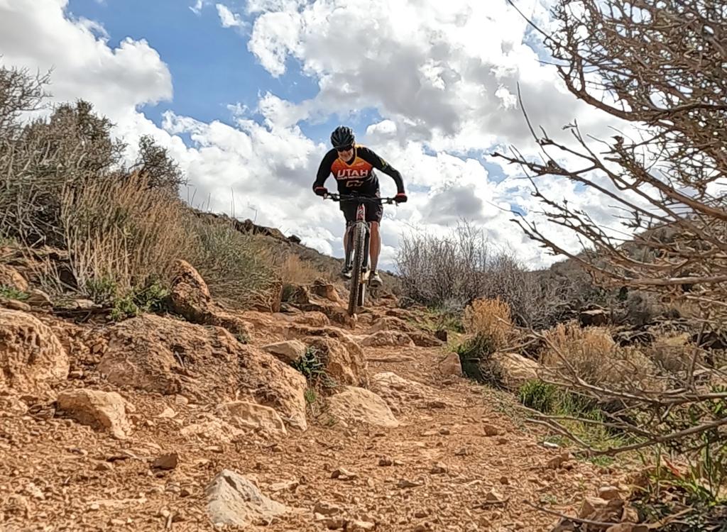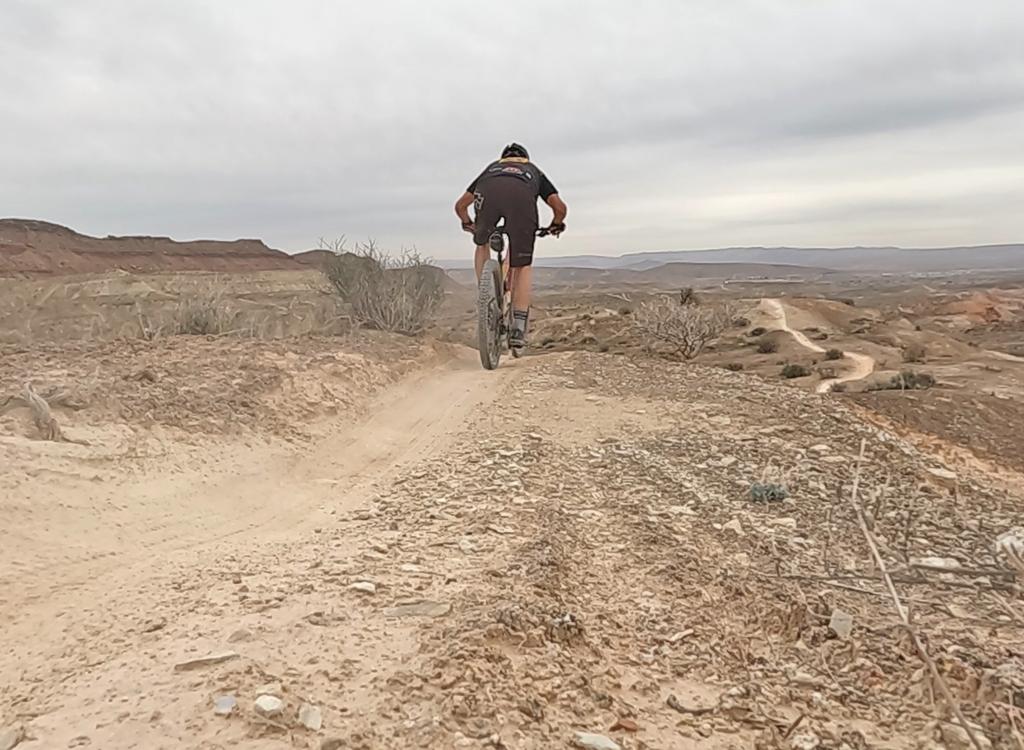
The Virgin River Trail is a paved bike and roller blade trail. The original section (on which these photos were taken) ran 2.5 miles along the banks of the Virgin River from the Dixie Center in St. George to Bloomington, but has been extended and is about 7 miles in length. It now continues northeast into Washington (two miles past River Road). On the south, the trail continues past Bloomington to Sun River (but on the east side of the river). A portion of the section near Sun River is hard-pack roadbase but isn't paved yet.


The trail has extensions into St. George along I-15, Web Hill and Bloomington east of I-15, the Santa Clara River, Virgin River South, River Road, and Middleton Wash.
Bloomington. Take the Bluff Street I-15 exit in St. George and turn west. Immediately turn south (right) and drive on Tonaquint Drive until it forks onto Bloomington Drive after the hill. Spot the parking area on your left just before the river bridge. (Or, take the Bloomington exit and drive west through town. As you cross the Virgin River, you'll see a parking area on your right.)
St. George. Take the Dixie Drive I-15 exit and turn east. Immediately to the east of I-15, pull into the parking area south of the Dixie Center. The trail is on the south side of the road. Cross the bridge to find the southbound Virgin River trail. (Westbound under the freeway is the Santa Clara River trail.) Under the freeway then north takes you to the city center. Eastbound (along the road you took as you exited the freeweay) is the eastbound Virgin River trail.


Single-page riding guide
Web page for west St. George Paved Trails
GPX track files (right-click and "Save as..."):
Multi-track GPX file St.George paved trails
Virgin River Trail GPX only
Lodging, camping, shops: Links to St. George area resources


