The Tour des Suds is one of the best-known classic Park City trails. Fifteen years ago, Tour des Suds was probably most famous trail in Utah, and for good reason. It was an awesome ride. Was. Over the last 10 years, Tour des Suds has been chopped up and rerouted as the bulldozers prepared the mountain for pavement and expensive homes.
Yes, it's still worth riding, but you'll wonder why Tour des Suds deserves a "classic must-ride" designation. History. And Tour des Suds has an annual race named after it.Most riders nowadays do only the last section of Tour des Suds, a short segment above the Midmountain Trail. OK. But here I'll be describing the classic start from town.


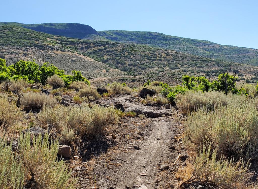
As the gravel road passes the water tank, turn left uphill and reverse direction. At the top of hill as the road turns to the right, watch for a doubletrack signed for Tour des Suds on the right. It becomes singletrack after about 100 yards.
When the trail hits paved road, go uphill a bit and find singletrack on the opposite side. There are multiple interconnecting trails on this rocky slope. Blunder your way uphill about 100 yards to the continuing climb.


About 1/3 mile later, Tour des Suds forks uphill to the left. (There's a trail on the FAR left at the junction which is a DH from the Ruby Lift. You can ride a loop linking TG to Empire Lodge at the bottom of Ruby.)
When you hit gravel road, you have options: (1) Head right on gravel to the paved road, then climb uphill on pavement to the TG trails or Moose Bones. (2) Head left a half mile or so and catch Moose Bones to ride west. (3) On the dirt road, go left around the corner and grab Team Big Bear when it skirts the edge of the road about 1/10 mile later.


After reaching the gravel road via Tour des Suds, fork left on the road. Pass the spot where the Ruby-to-Empire DH crosses. As the road turns 90 degrees left, spot two trails. One goes straight ahead. (Note 2011: the straight-ahead singletrack trail is blocked by construction. Yeah. Old story.) The ST that heads back west uphill is Moose Bones. Hop on it.


The eastbound loops pass through Team Big Bear. (You also have the option of simply dropping down Team Big Bear to Midmountain for a quickie loop ride.) At the 90-degree turn described above, follow the road for another 0.1 mile and find the singletrack on the left side of the road. Staying straight takes you uphill; reversing 180 degrees takes you downhill on Team Big Bear.


When Tour des Suds hits the dirt road in Daly Canyon, consider taking the Prospect Trail along Ontario Ridge. It's on the left at the corner where you originally turned onto Tour des Suds. Yes, Prospect is straight, boring, and (in 2011) loaded with annoying babyhead rocks. But it's singletrack instead of dirt road. You can also connect to the lower Deer Valley lodge by forking off onto the Rossi Hill trail .
Below is a track file for the loop up Tour des Suds and down Team Big Bear, returning via lower Tour des Suds then Prospect. It's titled "Loop with Team Big Bear down."

(At top, follow GPS track or trails map for specific ride)
0.0 Start just past end of pavement in Daly Canyon
0.25 Singletrack entering trees on left side of road
(mileage assumes you went up road)
0.7 Curve around water tank, left uphill at fork
N40 37.634 W111 30.151
1.0 Road turns R, note singletrack comes in on L
Turn R at fork just past turn in road
N40 37.786 W111 29.815
1.2 Curve L - don't go straight onto faint singletrack
1.3 Keep generally left and straight N40 37.708 W111 29.867
(Alternates route shortcut through)
1.4 Keep straight (Alt = R uphill) N40 37.591 W111 29.899
1.5 R uphill N40 37.547 W111 29.923
1.6 Fork L (Straight = Empire Link, R = down)
N40 37.594 W111 29.936
2.1 Paved road, R uphill 100 feet, L uphill
N40 37.227 W111 29.746
Navigate complex to climb southbound
2.3 R on Midmountain N40 37.140 W111 29.75
2.8 Straight and level at Team Big Bear
N40 37.111 W111 30.155
Stay on Midmountain
3.1 L uphill on Tour des Suds N40 37.025 W111 30.406
3.9 Gravel road N40 36.668 W111 30.388
Option: L and climb pavement to go directly to TG
R on road
4.3 at 90-degree L turn N40 36.850 W111 30.025
Stay on road if going to Team Big Bear
Hard R for Moose Bones (westbound to TG)
4.6 Ruby-to-Empire crosses, stay L uphill
N40 36.766 W111 30.087
4.7 Ruby-to-Moosebones comes in on L
5.0 Cross road N40 36.524 W111 30.329
5.1 Downhill (R) on road N40 36.472 W111 30.382
5.2 Enter TG at corner N40 36.428 W111 30.470
4.4 Team Big Bear on L side of road
N40 36.899 W111 30.029
180-L to descend Team Big Bear
Straight (R) to climb to Flagstaff

Go south in Park City until the road dumps onto Main Street. Follow it uphill into Daly Canyon. When you hit dirt, park and head uphill on the gravel road. N 40° 37.983' W 111° 29.841'
Single-page riding guide
Track files (right click and "Save as..."):
Climb up T.D.S. to upper Team Big Bear
Loop with Team Big Bear down
Tour duh East w Bowhunter and Homeward Bound
Tour duh West Classic TG to Gravedigger
Multi-track area grab bag
Lodging, camping, shops: Links to Park City area resources