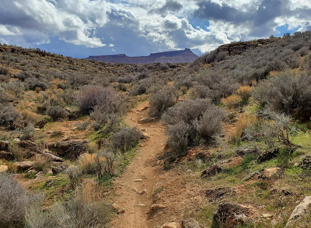
The Toe Trail consists of 1.2 miles of flat wide trail on top of a flood-control dike, plus two separate short singletrack trails on the eastern end that connect it to the Tuacahn Parkway paved trail. This trail will be of little interest to out-of-towners. The Toe trail is used extensively by locals for morning exercise. The wide flat portion is suitable for very young children, which may be of interest to some.
You can also reach the two eastern singletrack connectors from the paved Tuacahn parkway trail -- but there is NO roadside parking along Tuacahn Blvd.


(Some riders have picked their way through the mess at the western end to the next flood-control dike. This extends the ride by around 1/3 mile. But it appears that the official maintained trail ends here at 100 West.)


 singletrack.")


Main (200 East) trailhead: At the roundabout where Center
Street meets Red Mountain Blvd (200 East) in Ivins, head north toward the mountain
on 200 East. Continue 1/2 mile to the gravel parking area at the end of
the road.
Red Mountain (100 East) trailhead: Go west from the roundabout on
Center Street for one block then turn right to go northbound on 100 east.
The small parking area is at the end of the road.
Tuacahn paved trail: There's no public parking along Tuacahn Blvd.
You'll need to pedal your way here from elsewhere. St George has many
paved trails that connect to the Snow Canyon Parkway trail. At Center
Street, the Tuacahn trail is across Snow Canyon Drive from the Snow Canyon
trail.
No water or bathrooms at the trailheads.
Download GPX multi-track file