![Three Falls and Peak View Bruce descends through maples on Three Falls. Tracks, photos, and ride review Ju...](http://cdn1.utahmountainbiking.com/trails/images/pics-trails/ThreeFalls01.jpg)
Draper section, Traverse Ridge to Alpine
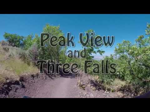
These two trails connect the Peakview Trailhead in Draper to northern Alpine. This page will discuss the route as far as the Three Falls area of Alpine. This section is 4.5 miles long. As an out-and-back it will require just over 1000 vertical feet of climbing. The trails from Fort Canyon and Alpine Cove (Schoolhouse Springs area) to the Draper Three Falls trail are discussed on a separate page.
The Peak View trail starts at the Peak View trailhead on the upper Corner Canyon road. This trail has replaced the old routes to Jacob's Ladder and Hog Hollow . The Peak View trail is the upper-elevation link between Draper and Alpine's trail system.
![Peak View Looking east over the Peak View trailhead. The bike is heading toward the Peak V...](http://cdn1.utahmountainbiking.com/trails/images/pics-trails/PeakView01.jpg)
![A gentle climbing grade on the new Peak View replaces some of the mean grunts on... A gentle climbing grade on the new Peak View replaces some of the mean grunts on...](http://cdn1.utahmountainbiking.com/trails/images/pics-trails/PeakView02.jpg)
![Drone view looking east. Nice riding. Drone view looking east. Nice riding.](http://cdn1.utahmountainbiking.com/trails/images/pics-trails/PeakView03.jpg)
![The left fork is Peak View. The left fork is Peak View.](http://cdn1.utahmountainbiking.com/trails/images/pics-trails/PeakView04.jpg)
![Looking to the northwest coming back toward the trailhead. Looking to the northwest coming back toward the trailhead.](http://cdn1.utahmountainbiking.com/trails/images/pics-trails/PeakView05.jpg)
![Looking south with Utah Lake in the distance. Looking south with Utah Lake in the distance.](http://cdn1.utahmountainbiking.com/trails/images/pics-trails/PeakView06.jpg)
The Draper portion of the Three Falls trail is 2.9 miles long. It begins at the end of the Peak View trail at the Jacob's connector fork. The east end is on the Fort Canyon road. Across the road, the trail continues as the Fort Canyon section of Three Falls.
The Three Falls trail is broad and easy to ride. I'd rate it easy-intermediate or experienced-beginner level, but there are a few dips where creeks cross that non-experts will walk.![Three Falls - Draper Section Descending east through maple and oak. A bit of Lambert Park can be seen at the ...](http://cdn1.utahmountainbiking.com/trails/images/pics-trails/ThreeFalls02.jpg)
![Lone Peak can be seen in the upper right. Lone Peak can be seen in the upper right.](http://cdn1.utahmountainbiking.com/trails/images/pics-trails/ThreeFalls03.jpg)
![Descending towards Alpines Fort Canyon. Descending towards Alpines Fort Canyon.](http://cdn1.utahmountainbiking.com/trails/images/pics-trails/ThreeFalls04.jpg)
![Were looking over Fort Canyon. Were looking over Fort Canyon.](http://cdn1.utahmountainbiking.com/trails/images/pics-trails/ThreeFalls05.jpg)
The first trail fork on Three Forks is the Carpe Diem trail, just 100 yards from the Jacob's Ladder fork.
While most of the trail is forested, there will be breakout areas where you'll have views south into Utah Valley.
![Last creek plunge. This one will probably knock you off your pedals. Were about ... Last creek plunge. This one will probably knock you off your pedals. Were about ...](http://cdn1.utahmountainbiking.com/trails/images/pics-trails/ThreeFalls06.jpg)
![Looking across the ravine. The bridge was completed in late April 2018. Looking across the ravine. The bridge was completed in late April 2018.](http://cdn1.utahmountainbiking.com/trails/images/pics-trails/AlpineTF18.jpg)
A second option to reach Alpine is to cross the subdivision road to find the continuing Three Falls trail on the south side. This can connect you to the top of Bodily Harm and to Vista Ridge. If you stay on Three Falls, you'll arrive at the Three Falls Ranch trailhead, where you can coast down the paved road into town.
More information on Forbidden and Bodily Harm (including other connecting trails) can be found on the Alpine Cove to Three Falls trail page.
![Climbing up the switchbacks above Fort Canyon Creek. Climbing up the switchbacks above Fort Canyon Creek.](http://cdn1.utahmountainbiking.com/trails/images/pics-trails/AlpineTF19.jpg)
![From Peakview to Three Falls From Peakview to Three Falls](http://cdn1.utahmountainbiking.com/trails/maps/ThreeFalls2022.jpg)
On Suncrest Drive, turn onto Canyon Pointe Drive. Keep straight until you find yourself on the narrower paved trailhead road. It's 0.7 miles from Suncrest Drive to Peak View. This trailhead has bathrooms, water, and repair facilities.
There's also auto parking is the Ghost Falls/Jacob's trailhead, one mile lower on the Corner Canyon road. Potato Hill, the Draper Bike Park, and Coyote Hollow are popular launching spots. See the Corner Canyon area page.
GPS track files for download (Right-click and "Save as..."):
Peak View - Three Falls track
Larger Corner Canyon area multi-track file
Load satellite map for printing: View map
Lodging, camping, shops: Links to southern SLC resources
Click
for Corner Canyon area trails
overview page
latest update 2022