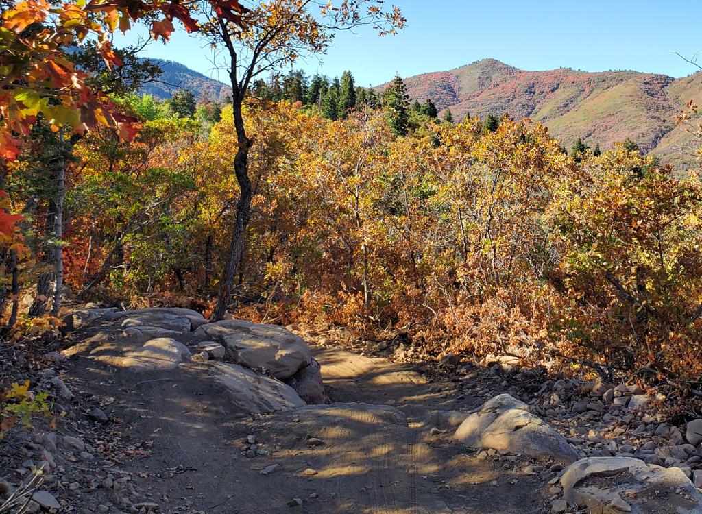

The Spork Trail lies within North Fork Park at the northwest corner of Ogden Valley. This 5.1 mile directional lariat loop trail was added in 2022. Spork is an easier-intermediate ride available year-round (when conditions permit) with grooming for fat biking in the winter.
Spork starts on the 365 trail as a two-way, then after 0.3 miles becomes a one-way loop trail. The direction of riding will change day-by-day. Reached via 0.7 miles of the 365 trail, the minimum ride to complete this loop from the south gate trailhead is 6.6 miles.


The main trailhead for bikes is right at the south entry gate to North Fork Park. See below for driving instructions. The gravel parking area is to your left as you approach the park gates. The 365 Trail will take you to Spork. The 365 trail is found on the southern side of parking at the kiosk.

From Mules Ear or The Cinch , you can connect to either Pipeline or Traily McTrailface (yes, really) to ride south to the 365 trail. Turn to the right on 365 and follow it down to the trail fork with Spork.


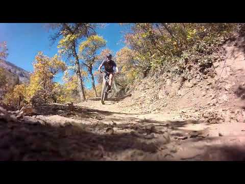
There are two short drop lines, one for each direction. An easy riding path is provided as an alternative. The alternate lines are plainly marked.


In the other direction, you're offered a short alternate trail with three rock drops, a bit bigger with each one. The final rock is about 2 feet.


With the 0.7 miles on 365 to reach Spork, a full ride from the trailhead at the gate will be 6.6 miles with 500 vertical feet of climbing overall.


Excellent trail. Well built and fun to ride. One of the best new trails I've ridden, which is saying a lot. Destined to be a favorite for many riders! Once you've done this loop, continue on the 365 loop around and down Pipeline. You won't be disappointed!


Camping in formal campground in North Fork. Bathroom at trailhead.
GPS track files (right-click, "Save as..."):
Multi-track GPX area file
Lodging, camping, shops: Links to Ogden area resources