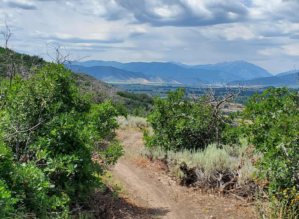
Spin Cycle is a great little DH ride that's been a local favorite for years. This fast, swooping downhill singletrack is 1.6 miles long, dropping 800 vertical feet. Expect a whoop-de-do bucking-horse plunge down an aspen-filled gulley. Great fun.

 and his dog Sydney approach Spin Cycle on the Lookout Trail. That's the Jordanelle Reservoir. Photo by Mike B.")
With new access routes from Mayflower (Rinse Cycle) and Deer Valley (Humdinger aka Midmountain Connector), you can now expect to have a lot of company on Spin Cycle. The "hidden gem" is now everybody's jewelry.


The Deer Crest Trailhead is located at the uphill corner of a three-section parking lot just off Deer Hollow Road. (This route is heavily impacted by construction in 2024. The directions here take you around a closed section of Deer Hollow Road.) Exit US-40 at Mayflower. Turn east toward the reservoir, then left on Jordanelle Parkway. Turn left under US-40 onto Mayflower Mine Road. Veer left to go south. Turn right to head uphill on Deer Hollow Road, then left again to pass between two large buildings. Now work your way uphill to the far corner of the parking area, where you'll see the kiosk. Head uphill to start your ride on the We'll Go From There trail. At Rinse Cycle, turn left to begin climbing.

Drive to Deer Hollow Road as above, but continue uphill past the large buildings for another 100 yards. Turn to the left into a large parking area. Head toward the little wood-and-glass kiosk. Find a trail that heads away from parking. Keep to the right and uphill as the "We'll Go From There" joins and climb up to Rinse Cycle where you'll turn to the left to climb to the top of Spin Cycle.

In Park City, follow the signs toward Deer Valley Resort. To get to the upper (Silver Lake) lodge, turn left on Royal Drive just after the road divides -- before you actually see the Snow Park (lower) lodge. Drive 4 miles uphill, following the signs to the Silver Lake lodge. (I recommend parking at the lower lodge and taking the city shuttle bus uphill instead of driving to the upper lodge.) Once you're at the lift area, face the mountain and look around for trail signs. The northbound Midmountain Trail is to your right, coasting downhill to the underpass then left onto singletrack. The Midmountain Extension is to your left, beginning as a doubletrack. It will be 0.9 miles to the Midmountain Connector trail, which descends 2.1 miles to a new DH trail before climbing to the Rinse Cycle trail at mile 3.3 from Midmountain. The top of Spin Cycle is 0.5 miles uphill.

The best way to find Spin Cycle is to climb Rinse Cycle, rather than meandering through private roads. If you're not following a local, it's likely that you'd ride right past it.


At mile 0.4, keep to the right at the trail fork with Call Sign Casa to stay on Rinse Cycle.
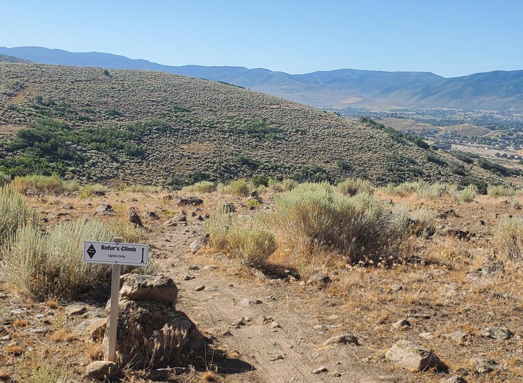
Turn hard right again to stay on Rinse Cycle at the fork with Kaboom. Then at mile 2.3, again turn hard right as the Midmountain Connector joins on your left. At mile 2.7 you'll arrive at a tiny metal gate near the top of Rinse Cycle. Now look for the Spin Cycle drop-in (not marked with a trail sign in August 2024) on your right.

Getting there, Midmountain Extension at Deer Valley
In Park City, follow the signs
toward Deer Valley Resort. To get to the upper (Silver Lake) lodge, turn left on Royal Drive just
after the road divides -- before you actually see the Snow Park lodge.
Drive 4 miles uphill, following the signs. Note that in 2017 the previous
parking lot no longer exists, being replaced by a new building. So on
weekends your chance of finding a parking spot aren't good. You can park
at the lower Snow Park lodge and take the city shuttle bus uphill. Once
you're at the lift area, face the mountain. Your
ride will start by turning to your left and riding east on the Midmountain Extension trail.
Deer Crest (We'll Go From There) Trailhead
The Deer Crest Trailhead is located at the uphill corner of a three-section
parking lot just off Deer Hollow Road. (This route is heavily impacted by
construction in 2024. The directions here take you around a closed section of
Deer Hollow Road.) Exit US-40 at Mayflower. Turn east toward the reservoir, then
left on Jordanelle Parkway. Turn left under US-40 onto Mayflower Mine Road. Veer
left to go south. Turn right to head uphill on Deer Hollow Road, then left again
to pass between two large buildings. Now work your way to the right uphill to the far
corner of the parking area, where you'll see the kiosk. Head uphill to start
your ride on the We'll Go From There trail.
Mayflower (You Get It) Trailhead
Drive to Deer Hollow Road as above, but continue uphill past the large buildings
for another 100 yards. Turn to the left into a large parking area. Head toward
the little wood-and-glass kiosk. Find a trail that heads away from parking. Keep
to the right and uphill as the "We'll Go From There" joins.