Tour des Suds to Midmountain to Little Chief to Speedbag
This is a quick loop ride of 6 miles at relatively middle altitudes for Park City. The ride starts in Daly Canyon, extends to Midmountain via Tour des Suds , detours onto Little Chief then drops down Speedbag. It's intermediate technical with 1000 vertical feet of climbing to a top altitude of 8300 feet.
You can also ride the loop starting in the middle from Midmountain as you arrive from north (down Link and find Speedbag just a few feet from the end of Link on Little Chief) or south. (You'd skip the Daly Canyon doubletrack and go directly from the bottom of Speedbag up to Tour des Suds.)


When you hit mile 1.4, note a trail on the left from SR 224, coming up toward you. That's your landmark that it's time to turn sharply right uphill. Go about 100 yards up, then fork hard left onto Tour des Suds. (There's usually a sign there. Straight ahead is Empire Link . The right fork takes you back down to TDS.)


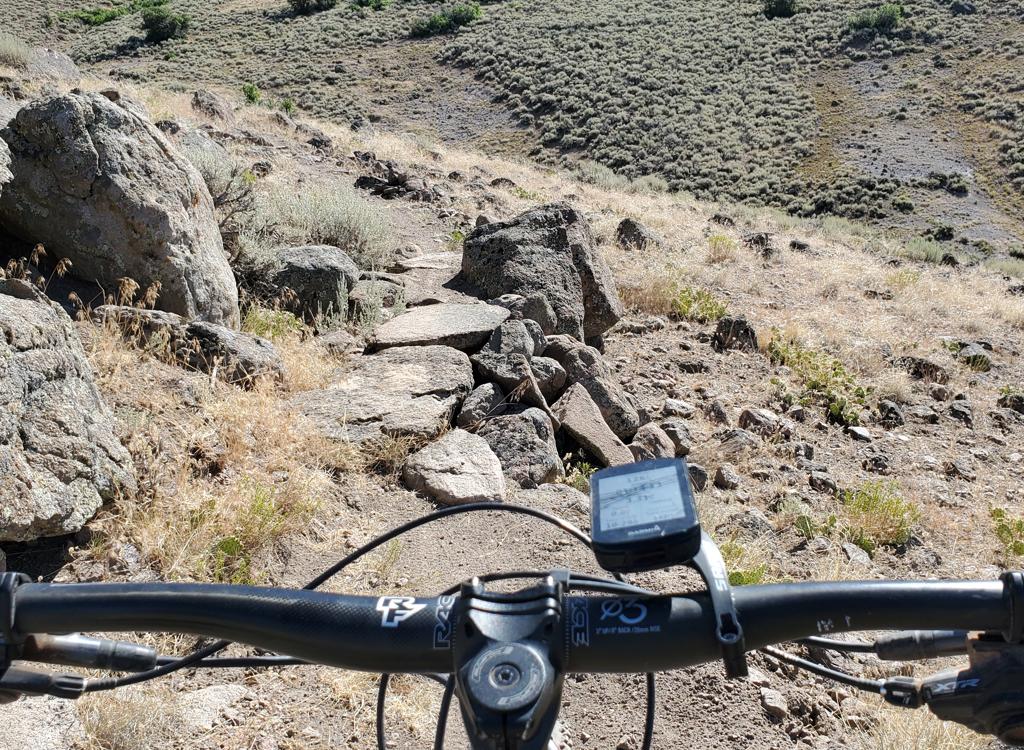
Navigate a series of jumbled interconnected eroded switchbacks, and somehow get to the top of the sloped meadow to the trees. Find the continuing TDS heading south.
Keep straight, level and right as Team Big Bear forks uphill at mile 2.8. Then keep left and level as a trail drops down to a ski lift at SR 224.


Follow Midmountain past the Empire Lodge and Ruby Lift area. (Keep right at mile 3.4 where a trail to TG forks uphill.)
Keep left on Little Chief at mile 4.3 as Ore Cart continues straight. (Ore Cart connects into Speedbag, and is a less-technical route preferred by some riders. It's very straight and fast. Ignore the "turn this way sign" pointing left in the middle of Ore Cart. The connector is ugly and it's barely possible to ride. Maybe with some more bike tires...)
 fork to Speedbag.")


0.0 Uphill on DT N40 37.960 W111 29.846
0.6 L around water tank, then straight
N40 37.643 W111 30.140
0.9 R onto Tour des Suds N40 37.786 W111 29.814
1.4 Hard R uphill N40 37.547 W111 29.925
1.5 L, continue TDS N40 37.594 W111 29.936
1.9 R on paved road, then L uphill
N40 37.259 W111 29.729
2.2 R on Midmountain N40 37.141 W111 29.752
2.4 Keep L N40 37.184 W111 29.848
2.8 Keep level (Team Big Bear crossing)
N40 37.113 W111 30.151
3.0 Straight (L = Tour des Suds)
N40 37.019 W111 30.414
3.4 Keep R (L = up to TG) N40 36.825 W111 30.610
3.8 R on Little Chief N40 36.947 W111 30.818
4.3 Keep L (R = Ore Cart) N40 37.206 W111 30.707
4.6 R on Speedbag (straight = Link/Johns99)
N40 37.351 W111 30.786
4.8 Keep straight as Ore Cart joins
N40 37.376 W111 30.693
5.0 Cross Empire Link, keep straight
N40 37.465 W111 30.501
5.3 R downhill on DT N40 37.610 W111 30.397
5.5 L on DT N40 37.619 W111 30.253
Then L again, then L again
5.6 Downhill by either road or singletrack
6.1 Back at car

As you drive into Park City, you'll arrive at the "main" intersection of Park Avenue and Kearns Blvd. From the light, head south on Park Avenue (straight ahead if you came from I-80, a left turn if you arrived on Kearns Blvd from US-40). Keep going through town. Just after the road veers a little to the right, it becomes narrower. As you reach the end of the homes and pavement, find parking on your left along the creek. Start the ride by continuing up the dirt road the direction you were driving.
Single-page riding guide
Track files (right click and "Save as..."):
Speedbag Loop riding track as described
Area trails including loop (over 70 tracks)
Print topo map: View
Lodging, camping, shops: Links to Park City area resources