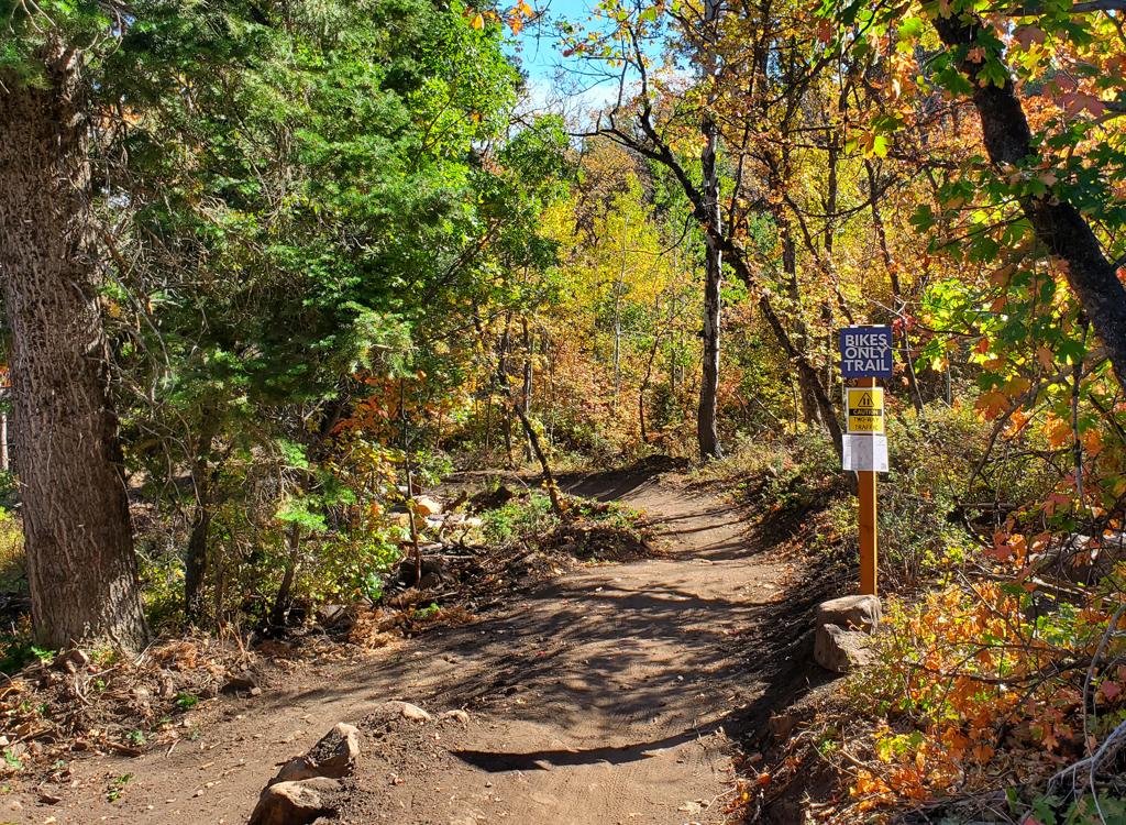
Smith Creek Lakes is an ATV-track trail from Francis Peak (above Farmington) to three small glacial cirque lakes. The trail lies at high altitude (over 9000 feet) and has a few semi-stiff climbs, so despite its short length it's fairly strenuous. In spots, the track is torn up by ATVs, with loose dirt and big rock chunks, requiring upper-intermediate skills. Early-intermediates will do fine by walking a few short rough sections.
This is a beautiful ride with high WOW factor. For those wanting a bit more of a workout, pedal up the gravel Francis Peak road to reach the trailhead.Many riders include a portion of the Francis Peak road as part of the ride. Starting from the fork near Farmington Flats, add 4.5 miles (one way) and 2200 vertical feet. From the trailhead in the foothills, add 12.3 miles and 4700 vertical, for a round trip of 31 miles!


Park on the left just after road turns uphill
GPS N 40° 59.808' W 111° 53.060'
0.5 Keep straight, Bench Road on R, N 40° 60.000' W 111° 52.750'
1.3 Road turns to dirt, parking on R
5.0 Campground (bathrooms)
7.8 Straight (L) N 40° 59.235' W 111° 47.986'
8.6 Straight past maintenance shed
Stay on main road
12.3 Francis Peak gate N 41° 01.650' W 111° 50.279' Alt=9250'
Trail is northbound DT right of gate


0.0 ATV track to right of gate
0.6 Straight (R goes to view)
N 41° 02.184' W 111° 10.162' Alt=9300'
1.1 Fork R (L = Great Western)
N 41° 02.493' W 111° 50.303'
1.2 Straight (R down to primitive camp)
N 41° 02.615' W 111° 50.259'
1.4 Straight and down switchbacks
"Cheater routes" reconnect
2.0 First lake
3.2 Last lake
N 41° 03.387' W 111° 50.483' Alt=8700'
track continues 0.3 miles
to flat for primitive camping
An alternative route is found about 1/2 mile before the peak (mile 4.0 from the road fork). Take the ATV trail on the right side of the road at N 41° 01.283' W 111° 50.183' and pedal 1/2 mile uphill to the trailhead.


GPX
Topo map of the ride Large-format topo map for printing (1.2 MB): View map
Lodging, camping, shops: Links to Ogden area resources