
(Lewis Peak)
The Southern Skyline Trail is a rewarding but long hill climb. It starts at Pineview Reservoir in Ogden Canyon and climbs over 3100 feet to the ridgeline looking west over Ogden. The trail -- if you include the spur to Lewis Peak -- can be ridden as an out-and-back to Lewis Peak (18.6 miles), as a 14-mile point-to-point leaving a shuttle at the North Ogden Pass trailhead, or as a 24-mile loop following paved roads 10 miles downhill to the Pineview Trailhead.
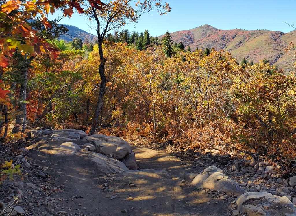
Most of the climbing is on exposed southern slope with short oak brush and little shade. If you're riding in mid-summer, I suggest an early-morning start, or the 3100-vertical climb will get mighty toasty.
At the 2nd switchback turn (to the left, at 1.8 miles), the trail seems to fork. The "straight ahead" option goes 0.1 mile to a viewpoint looking over Pineview. This is a good "we made it, turn-around" spot for beginners. If you're heading uphill, there are better views from the ridgeline above.

From Lewis Peak, you can head back to the trailhead at Pineview, or you can head to North Ogden Pass for a loop or point-to-point. Turn left at the trail intersection.


Trailside rocks are metamorphic shist, gneiss, and quartzite from the Precambrian Period - around a billion years ago.


Single-page riding guide
Topo maps for printing:
Lewis Peak
Loop Hres
Lodging, camping, shops: Links to Ogden area resources
GPX Lewis Peak only
Southern Skyline Loop
Skyline Epic (Pineview to Ben Lomond Loop)