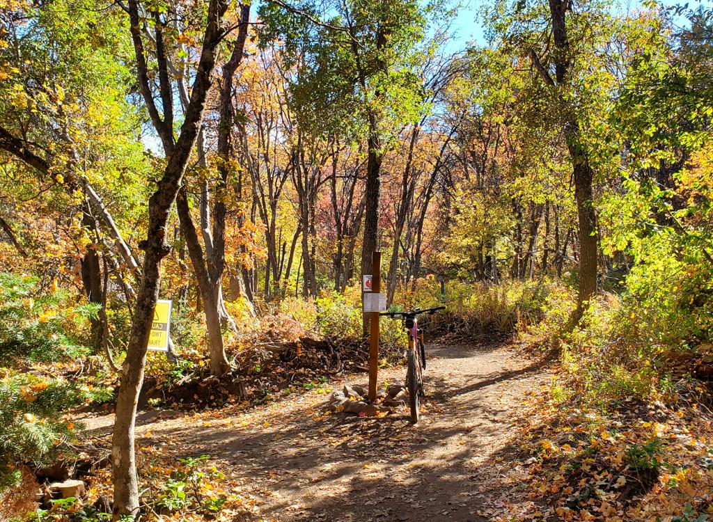
The Northern Skyline Trail is a great hill-climb with awesome ridgetop views over Ogden and the Great Salt Lake. The trail is intermediate technical but very strenuous aerobic. From the southern end (North Ogden Divide trailhead), it climbs 2600 vertical feet over 6.5 miles.
You can get to the trail's top via the Ben Lomond trail, with a climb of 3000 feet over 6.1 miles. (This does NOT include the side-trip to Ben Lomond Peak, an almost-impossible brute climb.) The combined trail is 12.6 miles in length, with several different riding options. This is an awesome ride, if you've got the thigh and lungs for it.
Option 1: Southern out-and-back. Ride north from
the North Ogden Divide trailhead to the Ben Lomond intersection, then turn
back for 13 miles, 2600 vertical.
Option 2: Point-to-point. From either
the North Ogden Divide or the Ben Lomond trailhead, ride the entire 12.6 miles,
using a shuttle to return.
Option 3: 20-mile loop. (If you're
riding clockwise from North Ogden Pass, you'll have to fight up 1000
vertical feet of paved road at the end of your loop.)
 contrasts wit...")


Crazy-biker Option: The 1.5 mile trail to the peak of Ben Lomond rises 1000 feet over multiple sharp switchbacks. Average grade is 15%, and the surface is loose and rocky. If you decide to take your bike to the summit, expect to pack it much of the way.


From the Ogden 12th Street exit, drive east (towards the mountains). At 400 East (Washington), turn left (north) and drive 5 miles. After the street narrows, veers slightly east, and enters a residential area, turn right (east) at 3100 North. Drive 4.1 miles to the parking area on your right, at the highest spot of the North Ogden Divide. The trail begins right across the road from the turn-in to the parking area.
FYI: Alternative ways of reaching Ben Lomond Peak are the Willard Peak (Inspiration Point) and Ben Lomond trails.

Topo map: View Hres Topo
Single-page riding guide
Lodging, camping, shops: Links to Ogden area resources
GPX Northern Skyline Skyline Epic (Pineview to Ben Lomond Loop)