Klondike Bluffs mountain bike riding area
The Sidestep and Instep trails are alternate paths along Baby Steps in the Klondike riding area . Sidestep North and South are fairly technical, comparable to EKG in difficulty. Instep is more of a dirt ribbon. The trails are useful either as fun alternates to the most boring section of Baby Steps South, or as a standalone technical lariat loop.


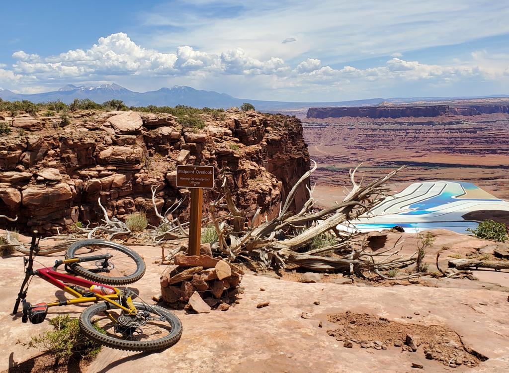
The Sidestep North trail's downhill end is at the intersection of Baby Steps South with the EKG trail. The route is marked on slickrock with purple paint stripes. It meanders uphill through some fairly technical terrain, and would rank upper-intermediate in skill requirement.


.")
Instep forks away from Sidestep North about 100 feet from the trail's end on Baby Steps . While I feature it as a descending connector in the loop ride below, Instep can also be used as a shortcut for Baby Steps, climbing from the doubletrack in the valley up to the second meander.


To make the Sidestep lariat loop ride, fork to the right and climb uphill on Sidestep South.

Sidestep South is the most technical trail of the ride. It's a bit steeper and the rock is a little meaner, as the trail heads over a little mountain. This section is 0.7 miles in length. It can be done either direction -- with dirt on a short uphill when done east-to-west, and a longer climb on undulating rock on the uphill when ridden from the west (downhill) side.


Very nice trails that yield some great new riding options, either as shortcuts, ride extensions, or by themselves as a loop. Highly recommended for those who like the terrain in the Klondike area.
0.0 L to Inside Passage ST
N38 46.429 W109 42.764
0.4 Join DT (Klondike)
N38 46.686 W109 42.900
0.7 Stay R on DT (L = Jurassic)
N38 46.869 W109 43.064
0.9 Straight to ST (Dino Flow) as road forks
N38 46.997 W109 43.072
1.0 R on EKG N38 47.116 W109 42.981
1.2 L (R = Miner's Loop)
N38 47.169 W109 42.943
1.8 Rejoin Dino Flow, dip, R on EKG
N38 47.372 W109 43.260
2.5 Baby Steps, NE on Sidestep N
N38 47.751 W109 43.293
2.6 Keep L (R = to Baby Steps)
N38 47.823 W109 43.254
3.3 R on Instep N38 48.130 W109 43.035
4.1 Straight on Baby Steps ST
N38 48.021 W109 42.880
4.2 R on Sidestep S
N38 47.905 W109 42.858
4.9 L down wash
N38 47.832 W109 43.171
5.1 Fork L on EKG N38 47.751 W109 43.293
5.8 Dino Flow dip, L on EKG
N38 47.372 W109 43.260
6.4 Stay R (L = Miner's Loop)
6.6 L on Dino Flow
7.6 Back at parking

Water: None
Toilet: Dinosaur Tracks parking
Camping: Not here
Information: Moab visitor's center
Chilkoot Pass parking: 1.2 miles from the highway as the road is heading east toward the bluff, the first parking zone is on your right. This is the Chilkoot Pass trail.
Agate trail parking: Continue a few feet past the Chilkoot parking. Fork right on a fainter jeep road N38 49.103 W109 46.061, as the main road continues to the dinosaur tracks. At mile 1.6, you'll come to the TH for the Jasper and Agate loops (N38 49.087 W109 45.625) on your right.
Mega Steps parking: Keep going past Agate. At 2.0 miles, you're at the bottom of Mega Steps at a larger parking area N38 49.179 W109 45.417.
Dinosaur Tracks parking: From 191, stay on the main Dinosaur Tracks road. At the road fork at mile 1.2 above, keep left on the main road toward the dinosaur tracks. About 1/2 mile further, turn to the right into the parking area. The Dino Flow trail is up against the mountain, to the left of the pit toilet.
Single-page riding guide, lariat loop
GPS track files (right-click and "Save as..."):
Lariat loop from south trailhead
Multi-track GPX Klondike area trails
High-res topo for printing: View Klondike area
Lodging, camping, shops: Links to Moab area resources