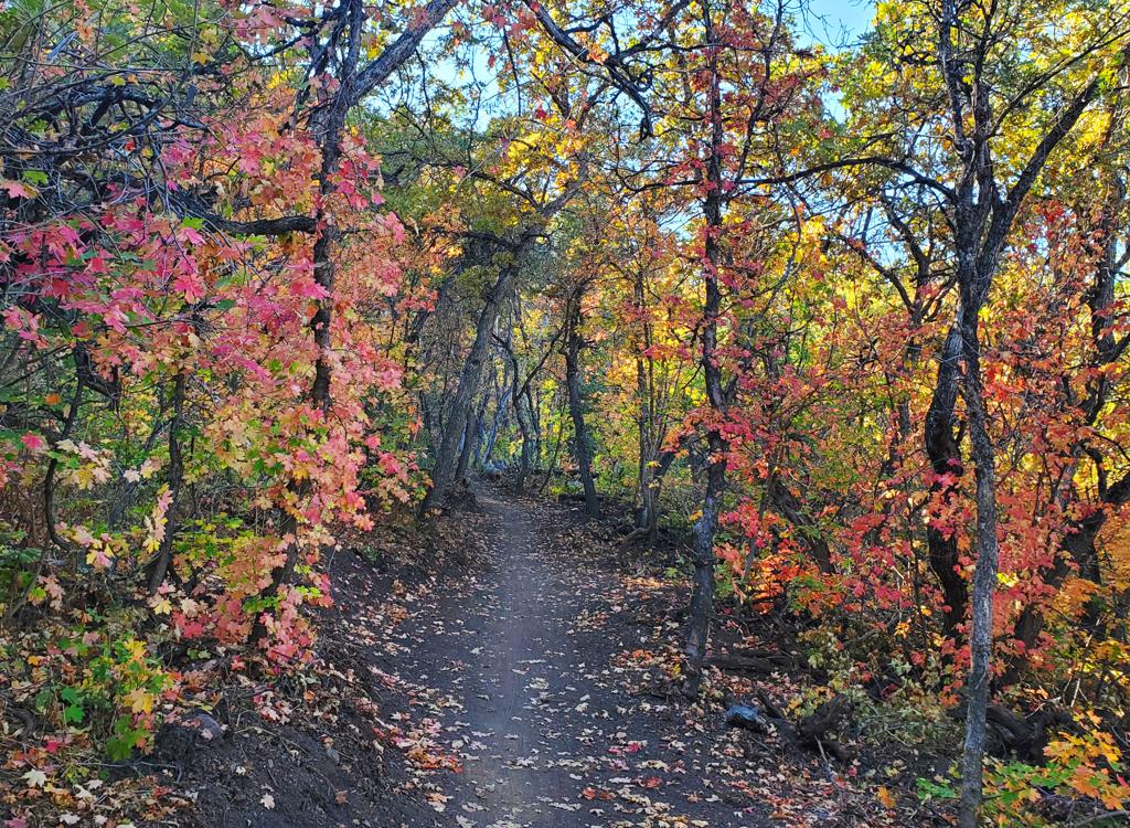
Sessions Mountain Section
The Bonneville Shoreline Trail (BST) in northern Bountiful runs from the Stone Creek trail to a temporary dead-end near Mueller Park (2024). Most riders currently start at Stone Creek (5150 ft) to ride this section. The completed length is 7.4 miles, rising to an elevation of 6600 feet at the southern dead-end. The expected riding season is late May through October.


Stone Creek to Holbrook North. Holbrook North is the downhill trail at the Sessions Mountain trail fork at mile 2.2 from Stone Creek.
Stone Creek to Holbrook Creek. Continue down into Holbrook Creek Canyon to mile 3.8 from Stone Creek, and turn right down the canyon. Note that this route is a hiking-preferred trail.
Stone Creek to Cemetery Road. After crossing the Holbrook Creek Trail, climb the BST for 1.8 miles, then fork right on an old doubletrack.

From I-15, take the Bountiful 400 North Exit and head east towards the mountains. Turn on left on 1300 East, which will curve around east to become paved Skyline Drive. This road will turn R to become Eagle Ridge Drive. About 0.1 mile after the road turns to dirt (directly under the big "B" on the mountain), the road turns sharply left. At the apex of the turn is the entry to the staging area. Find the path heading straight east toward Stone Creek. Go 1.2 miles uphill along Stone Creek to reach the BST.

Exit I-15 at Bountiful 400 North. Keep going east until the road turns and becomes Bountiful Blvd. Just after you pass the Bountiful Temple, turn left into the parking lot. Backtrack to the entry and take the step-over at the gate. Your route is the doubletrack that heads steeply uphill. Follow it 0.8 miles (push-a-bike steep) until you reach the BST at a 5-way trail intersection.
Southbound on Bountiful Blvd, turn left on Stone Ridge Drive, then left on Ridge Point Drive, left on Lorien Drive, then left on Lorien Court. As the road heads south, watch for the old Cemetery doubletrack on your left. Push your bike up the steep hill for 0.4 miles to reach the BST.


The trail will be extended to connect to the Mueller Park area. At this time, it appears that it will join the top of the Maple Syrup trail. The Maple Syrup trail drops down to Hornet, which descends to the BST Connector above the Mueller campground road.


Stone Creek (Skyline Drive staging area): From I-15, take the Bountiful 400 North Exit and head east towards the mountains. Turn on left on 1300 East, which will curve around east to become paved Skyline Drive. This road will turn R to become Eagle Ridge Drive. About 0.1 mile after the road turns to dirt (directly under the big "B" on the mountain), Skyline Drive turns sharply left. At the apex of the turn is the entry to the staging area. Find the path heading straight east toward Stone Creek. Go 1.2 miles uphill along Stone Creek to reach the BST.
Holbrook Canyon trailhead: Exit I-15 at Bountiful 400 North. Keep going east until the road turns and becomes Bountiful Blvd. Just after you pass the Bountiful Temple, turn left into the parking lot. Backtrack to the entry and take the step-over at the gate. Climb the doubletrack that heads steeply uphill. Follow it 0.8 miles (push-a-bike steep) until you reach the BST at a 5-way trail intersection.