(AKA Sorenson, Rivendell, or Upper Riverview Trail)
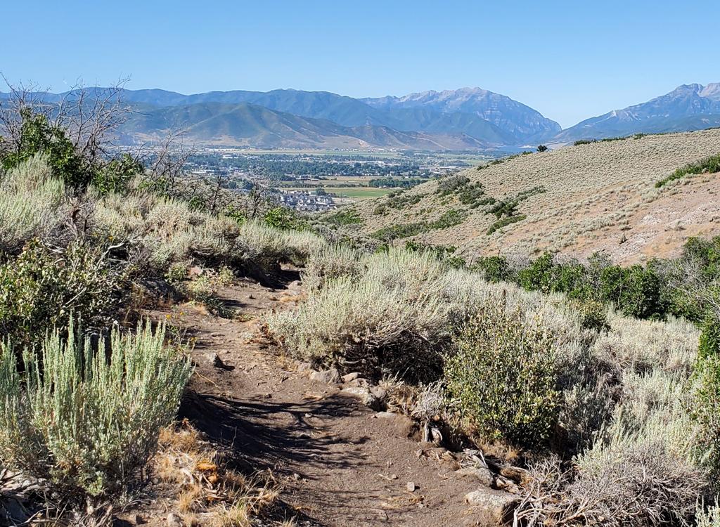
The Riverview Trail is located on the mountainside northeast of Heber at an average elevation of 6200 feet. From the Highway 32 trailhead to the Coyote Trail, Riverview is 5.2 miles in length. An out-and-back ride will be 10.4 miles with 600 vertical feet of climbing overall. The Riverview Trail can be done as part of the Coyote Canyon loop (minimum 20.2 miles), or as part of a front-side Loop (see below). This trail has undergone name changes over the years, which can be confusing when you're discussing ride plans with other mountain bikers. If you call it "Upper Riverview" most riders will know which trail you mean.
You can loop via Sheep Bones and Lower Riverview or by taking Upper Potatoes to Middle Earth , or by riding the Riverview Doubletrack, an old dirt road just above the irrigation canal. The loop returning via the doubletrack or singletrack is about the same distance (see map).


There's a popular trailhead behind the UVU Wasatch campus with a Connector trail up to the middle of Riverview. On Coyote Lane on the south, you can climb the Coyote trail up to the south end of Riverview.


After 1/10th mile, stay left on Riverview at the fork to Sheep Bones , a narrow more-technical trail that descends to Lower Riverview .


At mile 3.3 you'll reach the UVU Connector. This is a descending trail of 1.6 miles that winds downhill to the UVU campus trailhead. It will cross Middle Earth then the Riverview Doubletrack to join the Lower Riverview singletrack trail. When it leaves Lower Riverview, the UVU Connector goes across the canal to the UVU trailhead.


0.4 miles south of the UVU connector, you'll pass the entry to Chop'd Coyote on your left. This trail that links uphill to the backside of the Coyote Loop. You're now at mile 3.6 from the north trailhead.
The Riverview Trail hits dirt Coyote Lane in Coyote Canyon. A short jog uphill reveals a continuation that heads south 1/4 mile to the Coyote Canyon trail. You can drop down this trail to Lower Riverview if you're doing a loop ride on the western slope.


Coyote Loop: See Coyote Canyon Loop page. Connects at north and south ends of Riverview.
Sheep Bones: One-mile hand-cut trail from northern Riverview down to the Riverview DT and to Lower Riverview. Advanced technical. Used as part of the Front-side Loop, below.
Upper Potatoes: Upper Potatoes is a two-way trail on the right that descends to Middle Earth and Lower Potatoes.
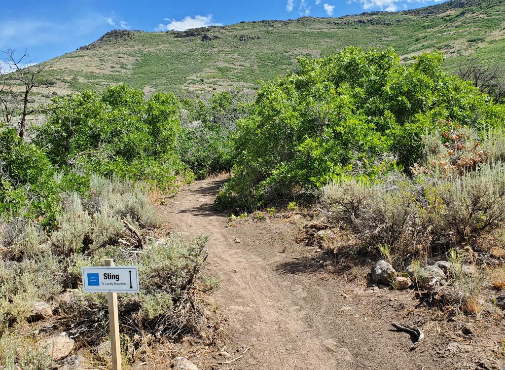
Lonely Mountain: Two-way trail (that rides like a downhill flow trail and may become one as additional trails are constructed) that climbs to the top of Mordor.
Middle Mordor: You can catch the Mordor downhill as it crosses.
UVU Connector: Very nice trail climbs the hill from behind the UVU Wasatch Campus. Intersects Lower Riverview and ends on Riverview.
Chop'd Coyote: See Chop'd Coyote page. Connects Upper Riverview to the back side of Coyote Loop on the ridge.
Hobbiton Hill: Trail descends from Riverview down to Middle Earth.
Coyote: Uphill for counterclockwise loop, downhill for trailhead.


Riverview DT: Doubletrack contours the hillside from Highway 32 to Coyote Lane.
Middle Earth: Traversing trail that follow the hillside between Lower Riverview and Upper Riverview.
Sheep Pen: Short up-and-over with options for loop lariat ride from Coyote trailhead.
Lower Riverview: Singletrack from Coyote Loop trail on the south, extending north to the UVU Connector where it crosses the canal, then on to the DT just south of Sheep Bones. South of UVU easier technical; north of UVU is advanced.
Isengard area trails: Lower Potatoes, Isengard skills trails.
 forks away from Riverv...")
0.0 Park south side of Highway 32
N40 34.398 W111 25.224
Eastbound uphill (straight away from road)
0.3 R on Riverview (L = Coyote Loop)
N40 34.430 W111 25.060
0.4 Stay L uphill (R = Sheep Bones)
N40 34.327 W111 25.057
1.6 R to viewpoint (100 yards)
N40 33.707 W111 25.003
3.3 Keep left N40 33.210 W111 24.237
(R = descend to Lower Riverview and UVU)
5.2 At Coyote Lane, turn around
N40 32.537 W111 23.397
(R = descend to US-40)
10.4 Back at parking
Loop with Lower Riverview and Sheep Bones via UVU Connector


Within a few feet of crossing the Lower Riverview doubletrack, fork left uphill on the Coyote Loop trail. Next cross the gravel Coyote Lane, staying on singletrack. Climb uphill just over a mile until you reach the Riverview Trail fork. Fork left and descend to the gravel Coyote Lane. Veer a bit downhill and cross the road to continue the Riverview Trail.
When you reach the UVU connector, drop left downhill and descend to the trailhead.0.0 Find the wooden stepover gate
Uphill on singletrack N40 32.792 W111 24.743
0.2 Merge w DT N40 32.828 W111 24.631
then L after canal on ST N40 32.837 W111 24.614
0.5 Cross Lower Riverview N40 32.927 W111 24.535
1.6 L on Riverview N40 33.207 W111 24.238
3.4 Keep R (L = to viewpoint)
N40 33.706 W111 25.004
4.5 Hard L onto Sheep Bones
N40 34.327 W111 25.057
(straight = to north TH and Coyote)
5.4 Straight onto Lower Riverview
N40 33.615 W111 25.280
6.9 Straight as UVU connector crosses
N40 32.927 W111 24.535
7.2 Straight as DT joins steeply from downhill
N40 32.857 W111 24.304
7.9 L on singletrack (to Coyote TH)
N40 32.387 W111 23.919
8.2 Keep R (L=Free Fall)
N40 32.162 W111 23.983
8.5 Fork L to Coyote (R = to TH)
N40 32.126 W111 23.925
Cross doubletrack (Lower Riverview)
8.7 L uphill on Coyote (R = to TH)
N40 32.124 W111 23.815
8.8 Cross Coyote Lane N40 32.188 W111 23.746
9.8 L on Riverview N40 32.365 W111 23.403
10.0 L and cross Coyote Lane to ST
N40 32.541 W111 23.391
11.5 Keep L (R = Coyote Middle)
N40 33.053 W111 24.030
11.9 L downhill on UVU connector
N40 33.207 W111 24.238
13.0 Cross Lower Riverview N40 32.927 W111 24.535
13.3 R across canal on DT then R on ST
N40 32.837 W111 24.614
13.5 Back at TH

Trailhead options!
UVU Wasatch Campus Trailhead: One mile south of the junction of Highway 40 and 32 (a couple of miles north of Heber), turn east (toward the mountain) at the UVU campus. Go to the uppermost level of parking behind the UVU buildings. Look for the duck-under and kiosk. A singletrack trail climbs 1.5 miles to the Riverview Trail.
Wile E Canyon trailhead: The Wile E Canyon trailhead is located on the southern side of Highway 32, just over 4 miles from US-40. It's 1/10th mile east of the old Cutthroat trailhead (see below). There's room for about 8 cars here. From the parking lot, a connector trail takes you 120 yards uphill to the Wile E Canyon loop. To get to Beep Beep (or the Coyote Switchbacks or East Riverview), turn right at the trail fork, keep right at the next fork, then turn left onto the Coyote Riverview Connector trail as you approach the gravel road.
Coyote Riverview Connector trail (old Cutthroat): You can still connect through the old Cutthroat trailhead, although there's no longer a parking area here. For example, if the crowds have forced you to park where construction workers leave their vehicles along Highway 32, you can pedal to the gravel road to the new golf course leaves the highway, four miles east of US-40 and just east of the big rock-wall road-cut.
Puddy Tat parking: On Highway 3 around three miles from US-40, watch for a dirt road turning to the right in a huge sage meadow. There are a couple of buildings across Highway 32 at this spot. The parking spot is just through the fence, with a connection to Puddy Tat on the eastern side of parking. (This spot was still being worked on at the time of my review.)
Riverview trailhead: From US-40 just south of the Jordanelle reservoir, turn east at the traffic light onto Highwat 32 (at mile 14.2 from I-80 if you're coming from the north). On Highway 32, climb 1.1 miles. When you see the second entry into Riverview on your left and a road under construction to your right, the Riverview Connector trail starts on the uphill side of that road just after it leaves Highway 32. (In 2025, there's no longer protected parking here. It's unclear whether the trailhead will be restored when construction is complete.)Coyote Trailhead: The southern Coyote trailhead has been lost to subdivision construction. Access to the southern side the trail system is in limbo, but some riders find their way through the construction zone by pedaling up the gravel Coyote Canyon road.
Canal DT trailhead: Just uphill from the light on highway 32, watch for the canal crossing. Park along the road. Start riding south on the doubletrack just uphill from the canal.

Riding resources:
Single-page printable guides
Riverview trail
guide
Frontside
Loop w DT return
Frontside
Loop with Lower singletrack
See also:
Coyote Canyon loop
Chop'd Coyote
Lower
Riverview
Mordor/Isengard trails
Wile E Canyon
GPS track files (right-click and "Save as..."):
Multi-track area file
GPX Riverview Trail only
Frontside loop w Lower
Riverview ST from Coyote
Maps for printing:
Coyote Area
topo map
Lodging, camping, shops:
Links to area resources
Bathrooms: None nearby.
Water: Gas stations in Heber, campgrounds.
Camping: Hailstone campground
at Jordanelle on US-40, about 6 miles away.
Bike services: Slim and Knobby's bike shop, Heber
Most recent update June 2022.