This page covers the trails in the northern end of the Red Cliffs Recreation Area. Trails and facilities are maintained by the BLM, and there is a small fee for use. The trails are generally easy to ride, suitable for beginners and families. There are many options. This page discusses the short trails close to the White Reef and Red Reef trailheads. For additional trail information see the White Reef to Leeds Reef page , the Quail Creek to Tipple Trail page , and the Prospector Trail page .

White Reef Trailhead: Large trailhead just off I-15, reached by exiting at Silver Reef, Leeds, or US-9 and taking the frontage road that runs east of the freeway. At Harrisburg, turn under the freeway then turn right at the T intersection. Self-service fee envelopes are at the step-over at the southwest corner of the parking area


The trails of Old Harrisburg will be to your left as you head northwest on White Reef. They are the McMullen trail (to explore the ruin), the Adams trail (to head for big rides on Prospector and Quail Creek, or to see the Adams home near the recreation area road), then the Cordura trail (in case you forgot you wanted to go on either of the previous two trails).
The Leeds Reef trail will fork to your right to head northeast, then the White Reef trail will turn also to the northeast. White Reef and Leeds Reef form a fairly easy loop ride.
I'm also including the High Grade connector to Prospector as part of this system (see below). More information can be found on the Prospector Trail page.
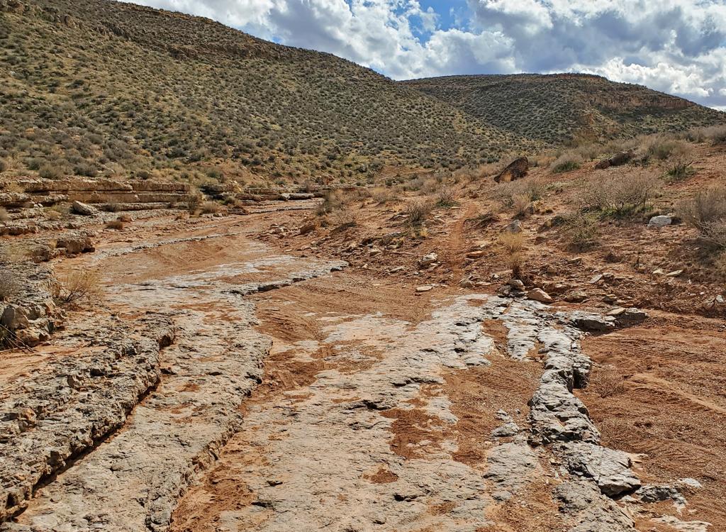
This is the entry trail from the White Reef trailhead. All the options discussed in this section fork away from White Reef. The White Reef trail ends at the Adit trail after 1.7 miles and around 300 vertical feet of climbing.


Just 100 feet after the step-over gate between the parking area and the White Reef Trail, the McMullen trail forks to the left. In 100 yards, it ends on the Cordura trail. Turn left here, and ride across the pile of stones -- the corner of an old rock fence around the McMullen home -- to explore the ruins.
The Leeds Reef trail forks to the right from White Reef around mile 0.2. Leeds Reef is an easier-intermediate level trail. It is 1.8 miles in length, with around 400 vertical feet of elevation change. Compared to White Reef, Leeds Reef has some steeper pitches and bumpier trail surfaces.


The Adams trail is the second option on your left, 0.2 miles from the trailhead, and just after passing the entry to the Leeds Reef trail on your right. The trail is 0.2 miles in length and runs from White Reef to the paved road, passing the old Adams home near the road.
After turning left onto the Adams trail, the Cordura trail crosses in 100 feet. (Turn left if you want to go to the McMullen ruin, otherwise, keep straight.) In 0.1 miles, the Adams trail crosses Quail Creek. At the trail fork, make a hard right onto the Prospector connector if your destination is the Quail Creek trail or Prospector. (If you want to see the Adams home, keep left and grunt up a steep slope.)
The Cordura trail is the third trail to leave White Reef on the left, just 100 feet past the Adams trail. It rapidly turns back to the southwest, 180 degrees opposite of the direction you were riding on White Reef. Cordura is 0.3 miles long, ending at the McMullen ruin.
After turning, the Cordura trail crosses the Adams trail, then heads toward I-15. A few feet before the rock wall, the McMullen trail joins on the left.


If your target is southbound on the Prospector Trail, it's most efficient to backtrack to the trailhead road. Follow the road parallel to the freeway, keeping straight at the intersection at the freeway tunnel. Cross Quail Creek, and as the road climbs and turns to head northwest, go to the step-over gate at the apex of the turn in the road. That's the High Grade trail, and it will take you directly to Prospector.


Mano and Metate cross between these two trails to create short hiking loops. Or, a way for cyclists to avoid going into the campground area when they're on a loop ride using Quail Creek and Red Reef East.
The Red Reef East trail begins on a camping spur on the northern side of the main campground loop. The trail starts as a broad track heading east, then narrows to singletrack as it passes the Metate connector from Anasazi at mile 0.3.
There are dinosaur tracks just off the trail, on your left as you descend a modestly-steep slope at mile 0.2 from the campground. There's a small dino-footprint sign to alert you.


The Anasazi trail begins just uphill from the main parking area in Red Reef. It runs to the top of a low hill, where there are ruins of native structures. The trail is 0.5 miles in length, with around 60 feet of elevation gain on the small hill.
At mile 0.2, the Quail Creek trail is on the right.
At mile 0.4, the Metate trail forks to the left. This trail angles slightly downhill to end on the Red Reef East trail after 100 yards.


For mountain bikers, the main use of these trails is as a shortcut between the Quail Creek and Red Reef East trails when doing a loop ride from the White Reef trailhead (or a lariat ride via Prospector). When arriving in the Red Reef area on Quail Creek, you can turn to the right onto Anasazi, then turn left on Metate to reach Red Reef East, keeping you a bit further away from all the hikers from the campground area.
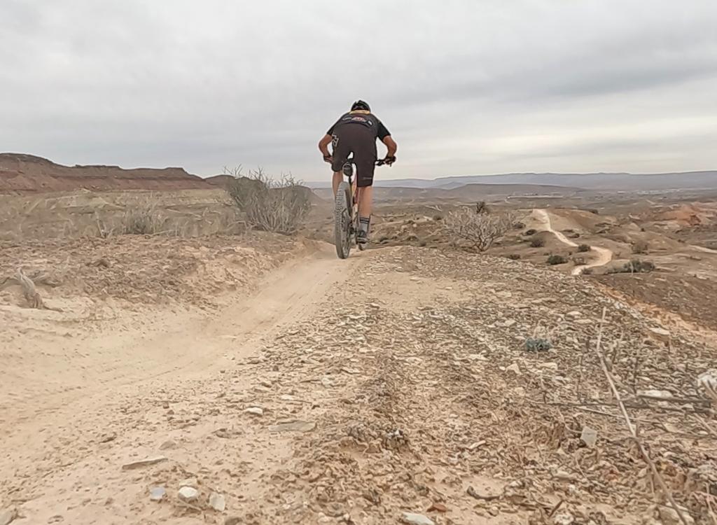
Nice trail system, suitable for beginners, kids, and older riders. Tons of riding options. See my other trail page for the White Reef-Leeds Reef beginner-level loop ride. More experienced riders will like the Quail-Tipple loop.


From St George, take the Hurricane (Highway 9) exit from I-15. At the Telegraph Street (Highway 212) traffic light 1 mile later, turn left. Drive 4 miles northeast on Old Highway 91. At Harrisburg, turn left to the tunnel under the freeway and duck under both sides of I-15.
If southbound on I-15, exit at Leeds. Turn right under the freeway, then right onto Old Highway 91 southbound through town. At Harrisburg 3.4 miles later, turn to the right and go under the freeway on a narrow single-lane road.
White Reef trailhead: After passing under I-15, turn right at the T intersection. Follow the road as it turns left and enter the parking area. Self-service fee envelopes are at the step-over for the White Reef trail at the southwest corner of the parking area.
Red Reef trailhead: At the T intersection after passing under I-15, go left. Cross Quail Creek and follow the road towards the cliffs. Pay the entry fee at the station (or self-serve if unoccupied). The Red Reef East trail and the Anasazi trail have separate entrances on the northern side of the loop road and are not directly accessed from the parking lot.
Both trailheads have a bathroom and water. Camping and picnic tables are available at Red Reef. Note there is a $5 per car fee (2022 price) for day use of the Red Cliffs recreation area.
For other trails in this area, see the White Reef to Leeds Reef page , the Quail Creek to Tipple Trail page , and the Prospector Trail page .Cottonwood Trailhead (for Prospector Trail): Take the UT-9 exit from I-15 (highway 9 goes to Hurricane, Zion Canyon, Grand Canyon) about 15 miles north of St. George. Turn towards Hurricane and pass Coral Canyon. Instead, drive to the traffic light in 0.7 miles. Turn left on Old Highway 91. Now go exactly 2 miles north. Watch on your left for a gravel road that enters a tiny single-lane slot under the freeway, with a sign that says "Cottonwood Trailhead". It will be between a beer warehouse labeled Winkel Distributing and a Rocky Mountain Power office. Turn left and drive 0.25 miles under both lanes of the freeway to reach the trailhead. Follow the Cottonwood Trail 0.5 miles then veer left at two forks that are about 50 feet apart. The Prospector Trail will parallel the freeway heading south 3 miles. If you want, turn left when it intersects the Church Rocks Loop and ride the loop clockwise. The ride will be about 11 miles.
Grapevine Trailhead (for Prospector Trail): On I-15 just north of Washington, take exit 13 for Washington Parkway. Turn north on Washington Parkway toward the mountain (left if you're coming from St.G). The road will end immediately after the northern off-ramp. Continue straight onto dirt (note: will change as area develops). 100 yards later, pass through fence and park. N37 08.981 W113 29.430. The ride starts on the dirt road that's to your right as you go through the fence, heading northeast parallel to the freeway. As the road turns west (left), find the singletrack trail that continues north. Follow it to the top of the hill. Straight ahead is a steep rocky plunge into the wash. If you go left 1/4 mile, there's an alternate trail that's a calmer smoother ride. It will take you down through the wash to the southwest corner of the Church Rocks Loop. To get directly to Prospector, fork right.
GPS track files (right-click and "Save as..."):
Red Cliffs Recreation Area multi-track file
Prospector trail
Silver Reef tracks
Maps for printing:
View riding area
White Reef TH
Red Reef TH
Lodging, camping, shops: Links to St. George area resources