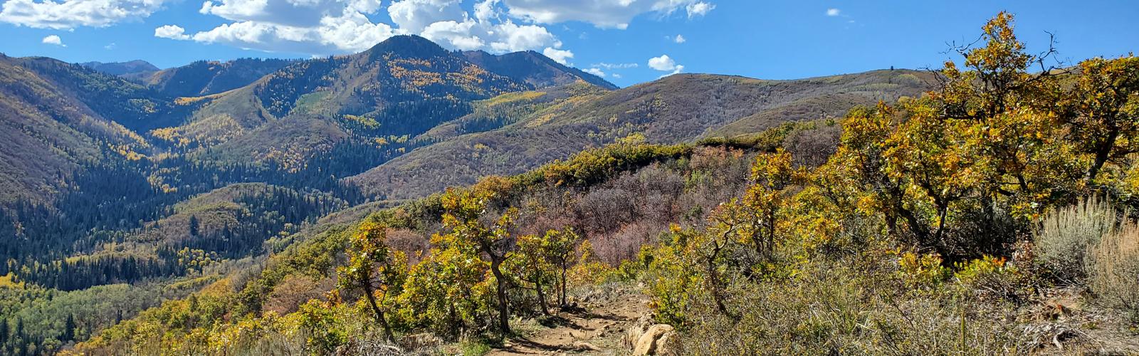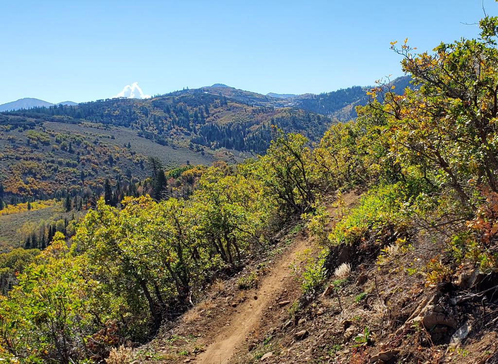
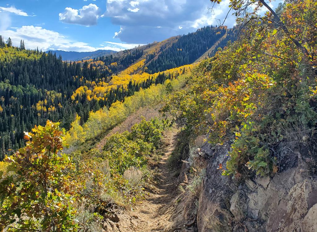
On the lower slopes of Ranch to Ridge, there are some nice views in the more dry spots.
Ranch to Ridge Trail
with Hunter Trail to MidmountainRanch to Ridge is new in 2026. But it's so well-built and fun to ride
that it's become an instant classic. It serves a significant need -- a
great descending route from the northern end of Midmountain that doesn't
put you onto private trails in Pinebrook. (In writing this, I'm assuming
you don't live there.) And it's a route that isn't complicated to
navigate.
The review of Ranch to Ridge (and a new report on the Hunter Trail) was
done October 7, 2026 by Bruce.
The Ranch to Ridge trail is 5.7 miles long with elevation
change of 1300 feet. It starts on flat pasture at just under 6400 feet by
the Ecker Middle School close to I-80's Kimbal Junction. At the top, it's
close to 7700 feet elevation. Some descending in the middle of the climb
will bring the total climbing for an uphill trip to 1450.
The trail is nicely built, with a broad riding surface and smooth
banked turns.
Because of high elevation and north-facing slopes, the expected riding
season will be limited to late June or early July through October.
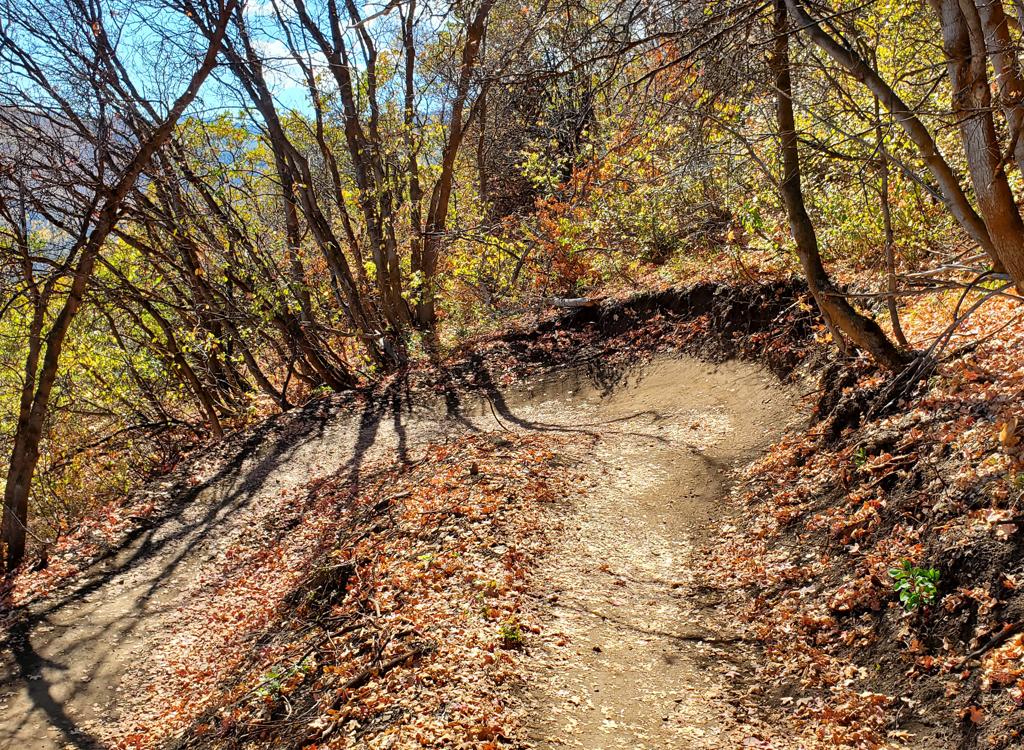
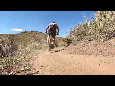
Typical turn on lower Ranch to Ridge.
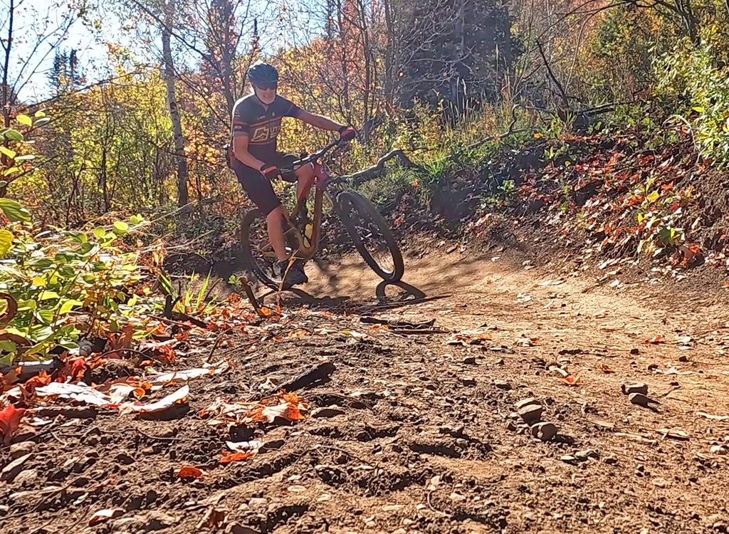
Bruce climbs up Ranch to Ridge through aspen, maple, and fir.
The trail is used about equally in both directions. Some
locals will climb until they've done enough, then descend. Other riders
will climb Ranch to Ridge, continue climbing on the Hunter Trail to
Midmountain, then pick a route for descending to complete a loop.
A very popular option for riders who don't want to suffer but are
looking for a longer ride is this: from a city bus stop in Park City, take
the free bus up to the Midmountain Trail near Deer Valley. Roll all the
way north and descend through Hunter and Ranch to Ridge.
For those who are looking for big miles, the Hunter Trail is
part of the package. Hunter spans the distance between the top of Ranch to Ridge and the northern end of
Midmountain (and the top of Ambush). Note that on Trailforks the Hunter trail is labeled
as "HT of Midmountain" where HT stands for Hunter Trail.
The Hunter trail is 3.7 miles long. From north to south, it gains
around 400 feet, rising from 7770 to 8150 feet. There's some gentle
downhill toward the southern end that takes back around 200 feet of
elevation and raises the total climbing to about 650 for the trip
southbound.
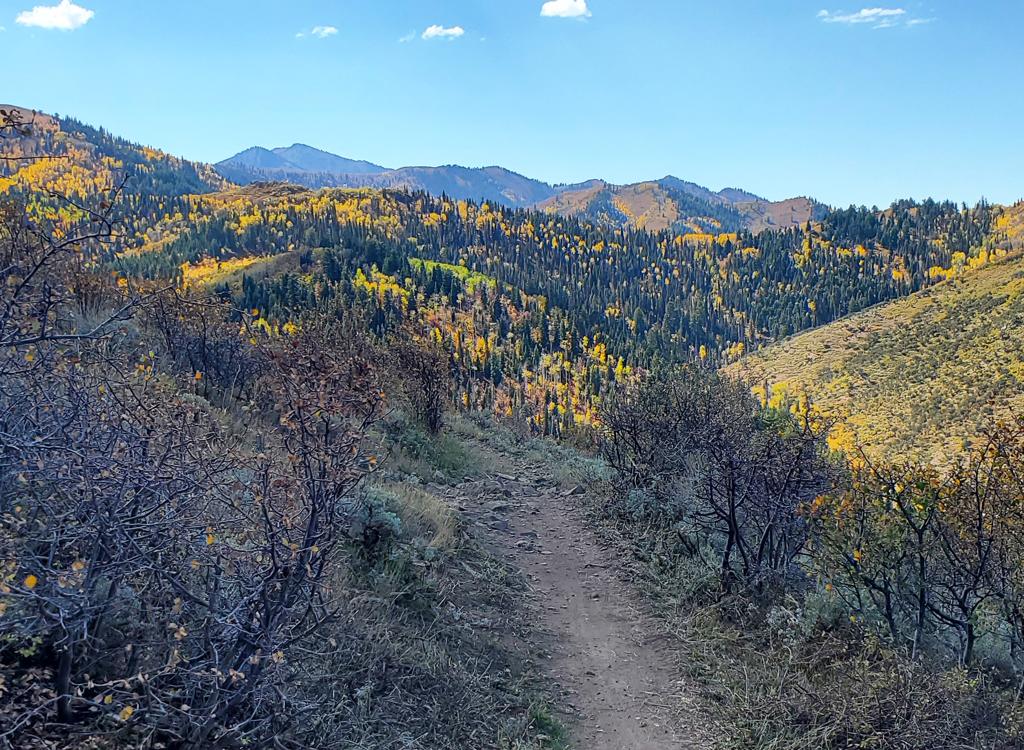
The Hunter Trail has no shortage of epic vistas!
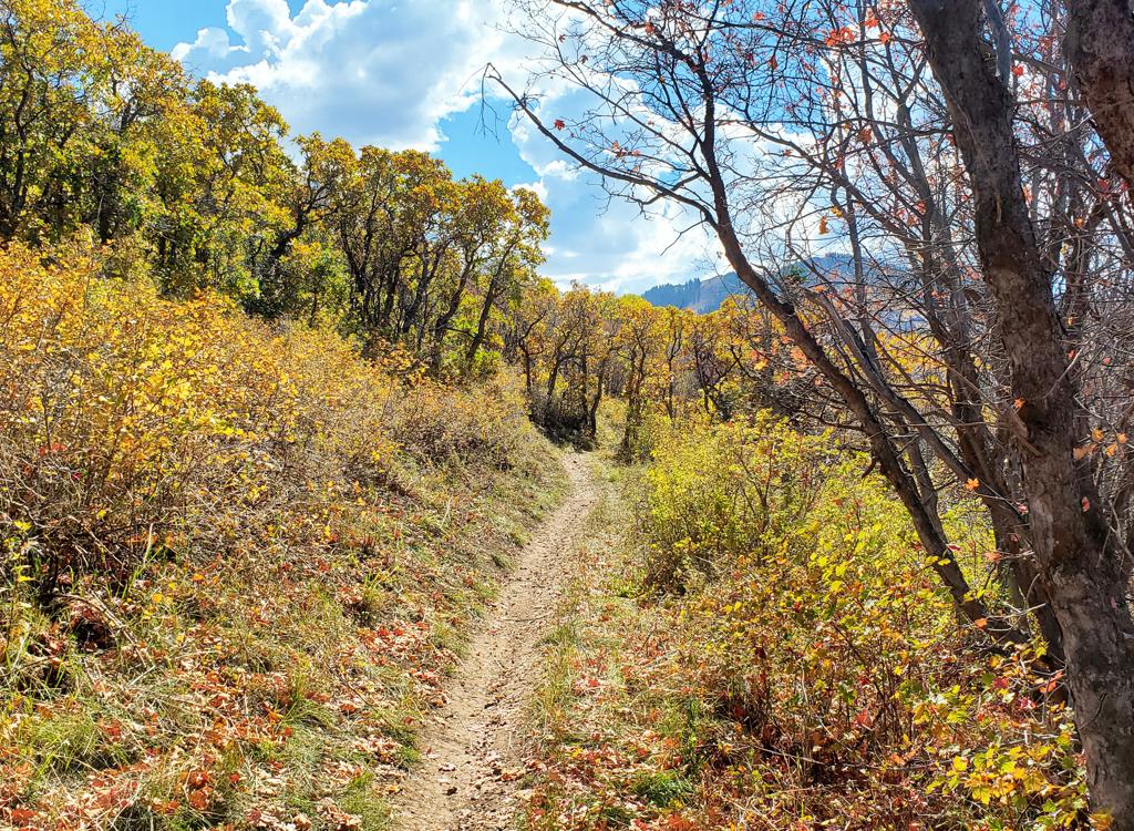
Climbing south on Hunter.
The Hunter trail ends at the northern tip of Midmountain,
where Ambush turns downhill. Connections to the Olympic Park trails are
1/4 mile downhill on Ambush via the Olympic trail. If you're climbing up
Ranch to Ridge and Hunter as part of a big ride, you'll hit 2100 feet of
overall climbing when you reach the Midmountain trail. The GPS tracks
available include a loop ride of 17.7 miles and 2500 vertical that
descends through the Olympic Park.
The trip on Hunter and Ranch to Ridge is, of course, much
easier in the northbound direction. When riding north downhill, the two
trails in combination yield a total of 350 feet of climbing as you log
2100 feet of descending. Even with a bus ride or shuttle to deliver you up
to Midmountain, you'll still log around a thousand feet of climbing before
you get to the Hunter trail.
It's going to be a big ride no matter how you do it. But I'll tell you
it's worth it.
Nearing the end of Hunter, we pass a limestone outcrop as fall colors await.
Trailheads and connections
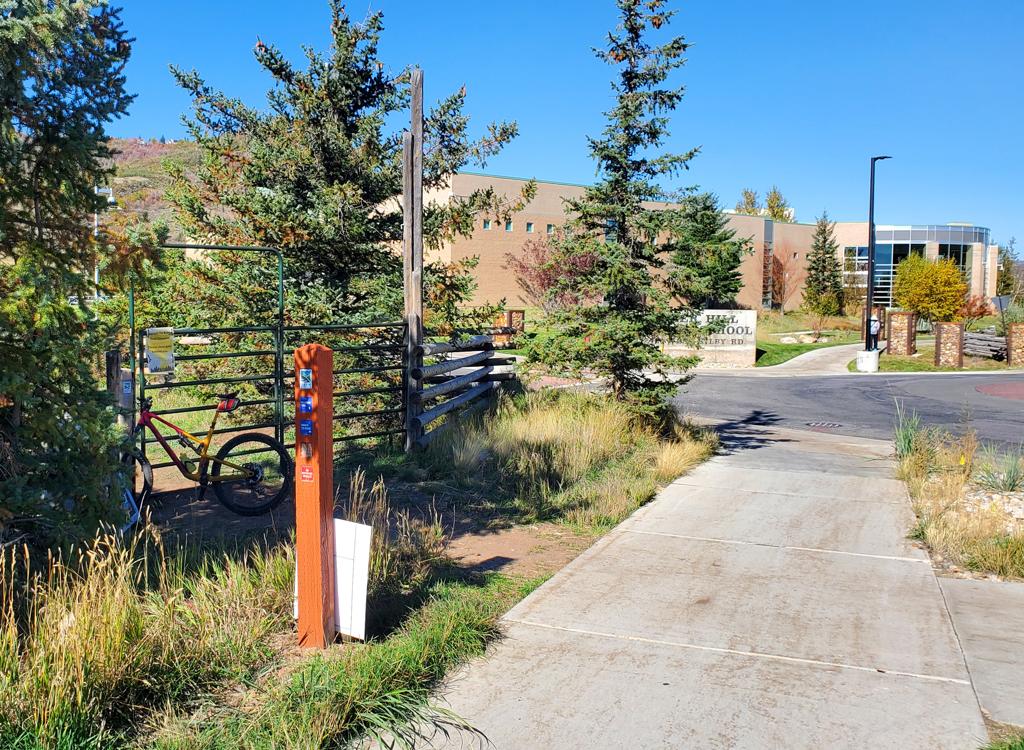
The gate on the left is the trail entry. We're on the Millenium trail looking west.
Ecker Hill (Kilby Road) Park and RideThere's no dedicated trailhead for the Ranch to Ridge trail. But you're
allowed to use the Park And Ride lot across the street. (DO NOT park in
the Ecker Hill Middle School lot.) From I-80 at Kimball Junction, turn
south -- toward Park City. In less than 0.2 miles, turn right at the light
onto Ute Boulevard. At the roundabout, take the first right onto Landmark
Drive, which will become Kilby Road. When you see the middle school
approaching on the left, turn into the Park and Ride entry on your right.
Cross the street and find the trail east of the road into school parking.
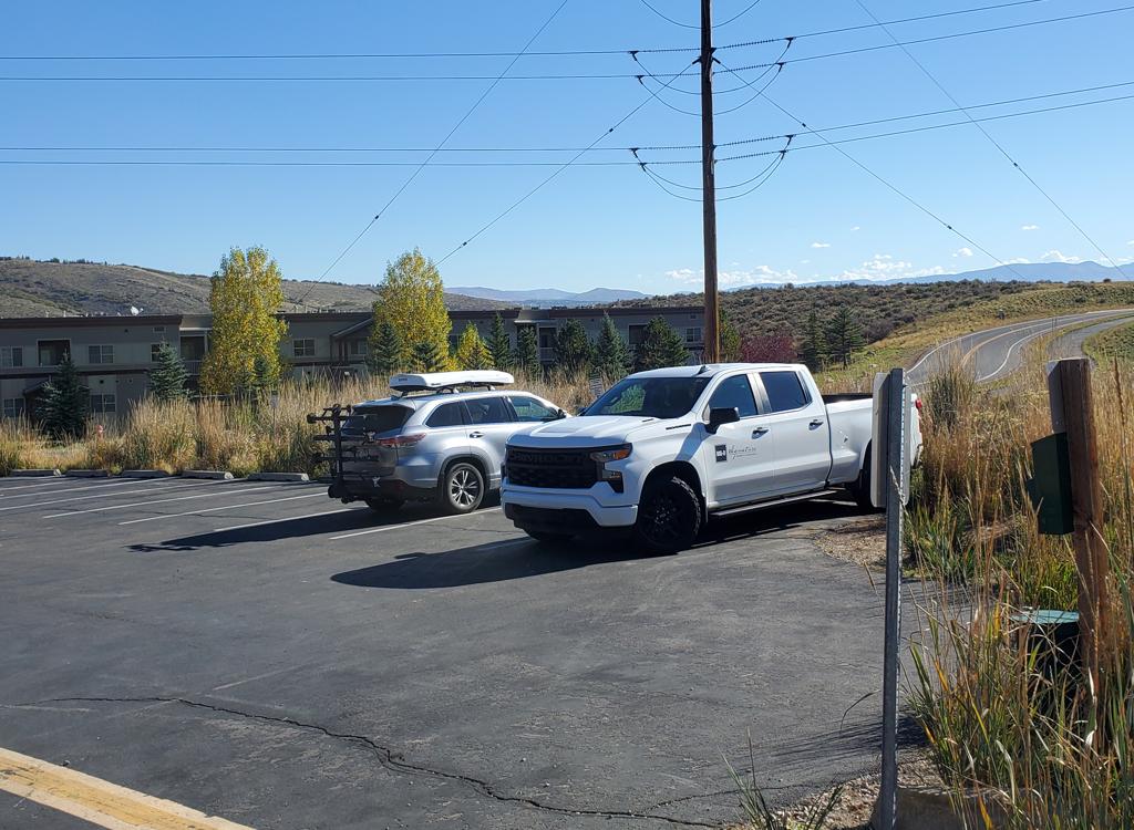
Looking at the parking lot from the Millenium trail.
Overland Drive parking for Millenium trailIf you're planning a loop that returns via Millenium, you may find
parking spaces at the end of Overland Drive where the Millenium trail
arrives from the RTS area. Take the paved path west along Overland Drive.
It's about a mile to Ranch to Ridge.
You can arrive at Ranch to Ridge via Millenium and its connecting paved
paths in either direction, from almost anywhere in the Park City,
Snyderville or Summit Park areas. Check the latest city maps.
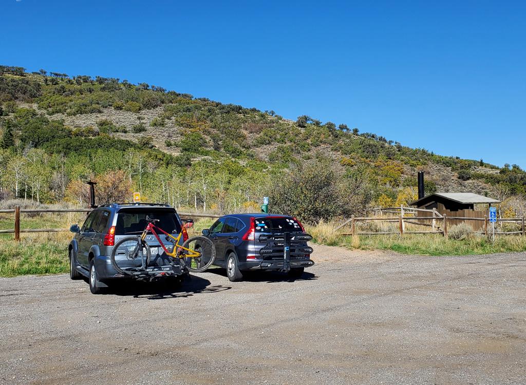
The RTS trailhead. Nice to have a toilet!
RTS TrailheadThe RTS trailhead has a bathroom, and is a good location for loop rides
that pass through the Olympic Park trails either uphill or down. From I-80, take the Park City Kimball Junction exit. Turn south toward
Park City. At 0.4 miles from the freeway, turn right on the Olympic Parkway.
At the roundabout, go 3/4 around (effectively a left turn) to head south
on Olympic Parkway. The road will begin climbing. At one mile from I-80,
turn right into a fenced parking area with a bathroom. The RTS loop is just inside the
break in the fence.
To get to the bottom of Ranch to Ridge, Take RTS to the far north end
and take the short connector to the paved Millenium trail. Turn left and
follow the paved path two miles to the trail entry just before Ecker
Middle School.
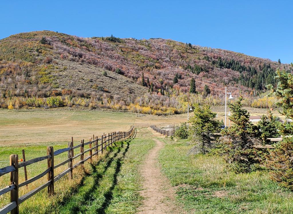
Doesn't look like an epic trail yet. But wait.
At the gate on the Millenium trail east of Ecker Middle
School, hop on the path across the meadow. (This stretch will get ugly
when the soil is soaked, so turn around if things are sticky.)
In less than 1/4 mile, you'll be away from meadows and telephone poles.
Here the trail climbs steadily but gently.
The lower forest is a mix of maple and oak, with an
occasional aspen or fir. The trail base is dirt. There are no big rocks or
tech spots to contend with in 2026. But in the mid-elevations, rocky bumps
will inevitably erode out of the trail surface as years go by.
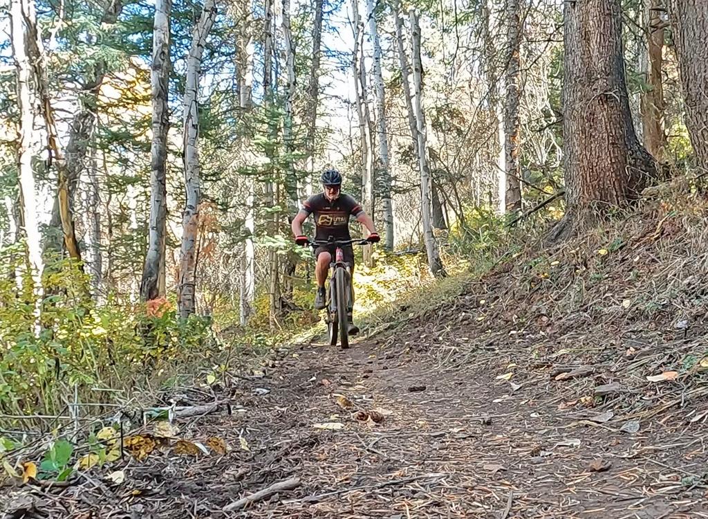
Bruce cranks uphill through a cooler slope.
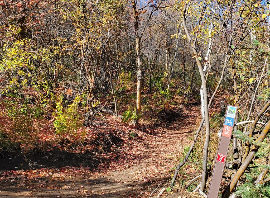
Trail fork for the lower Pinebrook trail fork. (Ranch to Ridge turns hard left here.)
There will be a total of four trails that fork away on your
right side as you climb. Two are found near the bottom, at 0.6 miles and
1.5 miles. These head west into the Pinebrook area and can be linked
together for an alternate climb or descent. (Strava's heat map shows some
branching trails in the area that may create route confusion for someone
unfamiliar with the area.)
The other two trail forks are near the top of Ranch to Ridge, and I'll
get to those later. Trail forks are marked with carsonite posts, but
there's little information on them. If you plan to venture off the main
trail, be aware that most on-trail navigation aids don't cover the private
trails in Pinebrook.
The shady climbing will be interrupted around mile 1.7 as
you reach a sun-exposed hillside with gambel oak. You'll coast downhill a
bit through this area. Your reward is views of the mountains to the east
and south, and the valley below.
There will be a mile of sun-exposed slope as you climb through the oak
brush before you're in cool forest again.
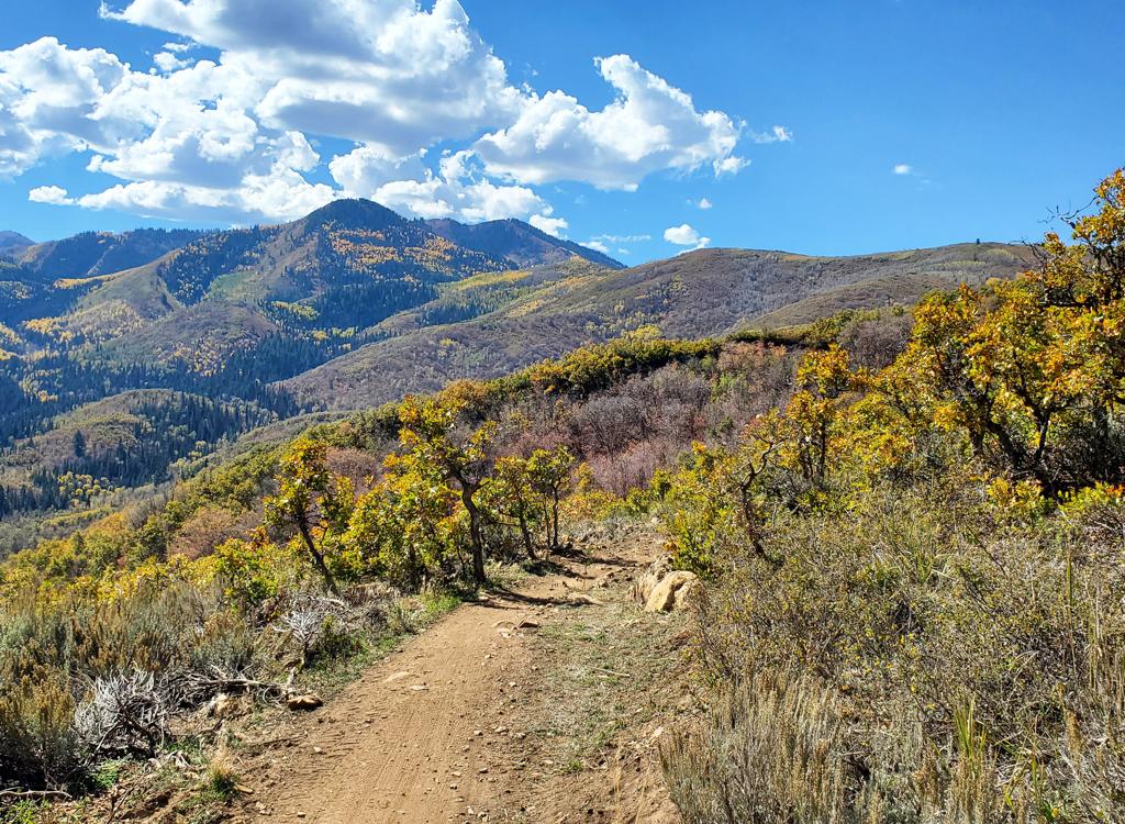
About two miles uphill and we're enjoying the views!
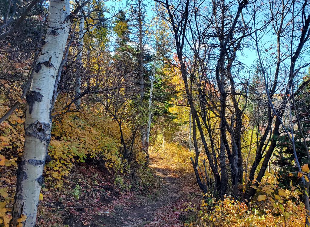
On the higher elevations of Ranch to Ridge, we're traversing a north-facing slope.
This upper stretch of the trail is generally cool and shaded
by aspen and fir. There will be occasional views, but most of time you're
in tall dense forest.
At mile 4.9, Ranch to Ridge falls onto the old Hunter Trail
alignment as the Pinebrook Perimeter trail forks downhill to the right.
The path uphill will now become a bit narrower, and might have encroaching
bushes depending on the state of trail maintenance.
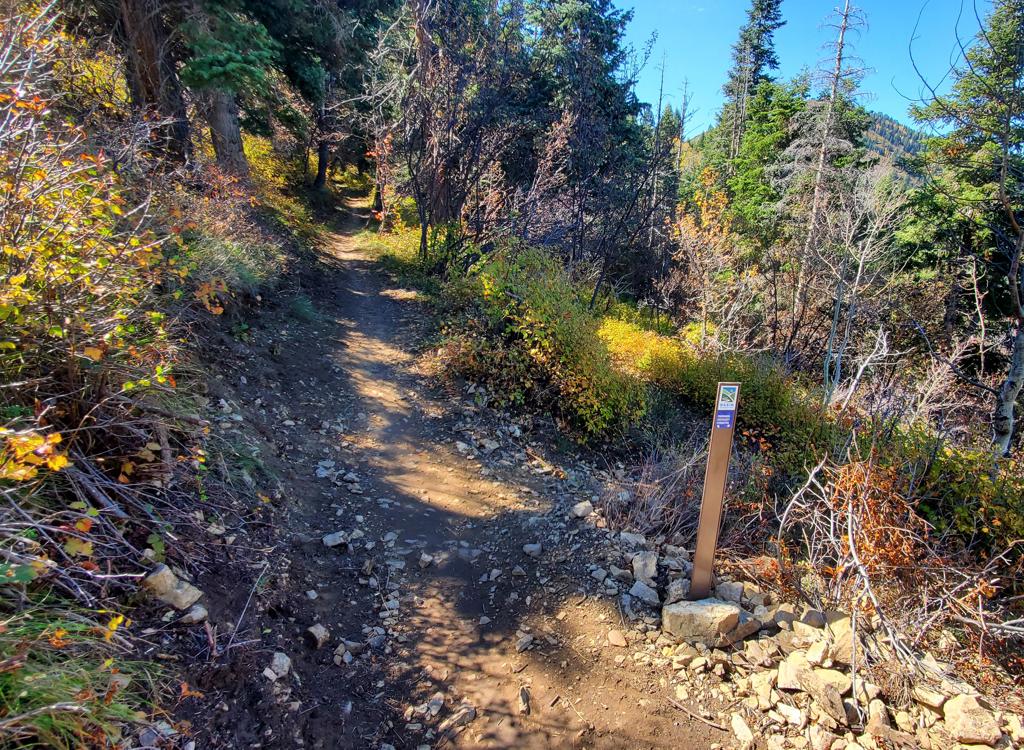
Trail fork for Pinebrook Perimeter, to the right.
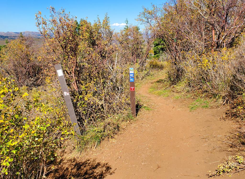
Looking from Hunter downhill at Ranch to Ridge. The trail on the left drops to Pinebrook.
At mile 5.7, Ranch to Ridge turns into the Hunter trail. The
transition occurs where a connector on your right drops steeply down to a
dirt road and links to a Pinebrook subdivision.
You've now done 1450 feet of climbing and are at an elevation of 7675
feet.
Hunter Trail to Midmountain
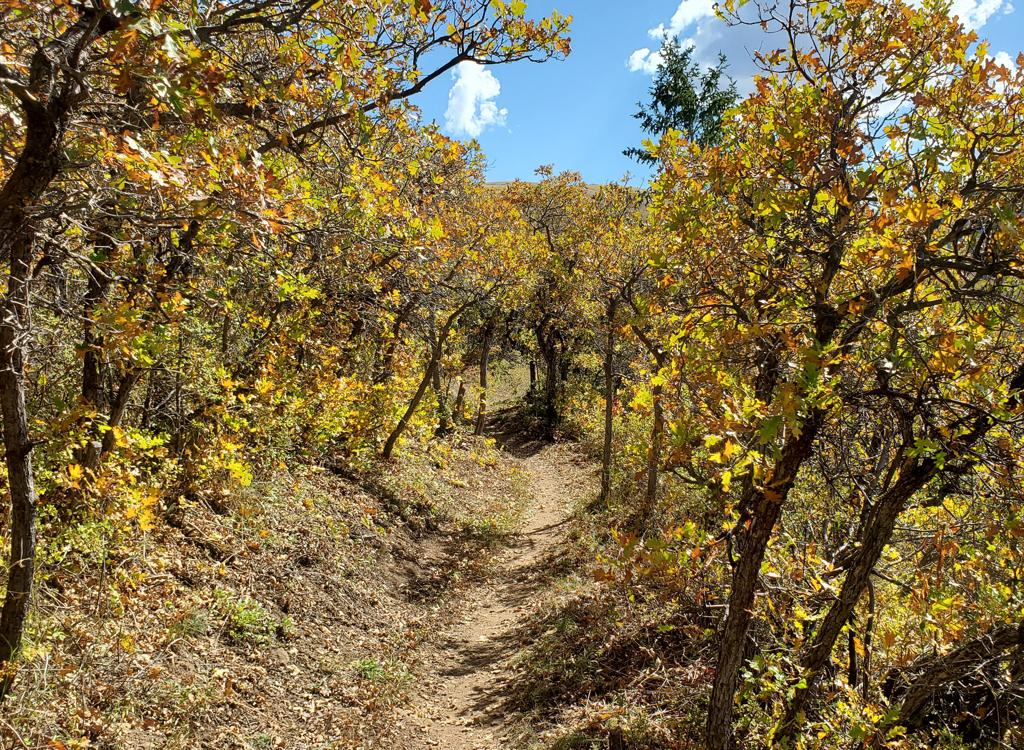
Climbing up on Hunter, heading for 8100 feet elevation.
The Hunter trail continues straight where Ranch to Ridge
officially ends. It's an older route, so there will be narrower tread in
most spots and occasional rock outcrops breaking through the surface.
At this point, you're out of the cool forest and entering an area of
oak and maple again.
The rate of climbing on the trail immediately increases. In
the north-to-south direction, there will one mile of steady uphill as you
gain around 400 feet elevation to 8050 feet.
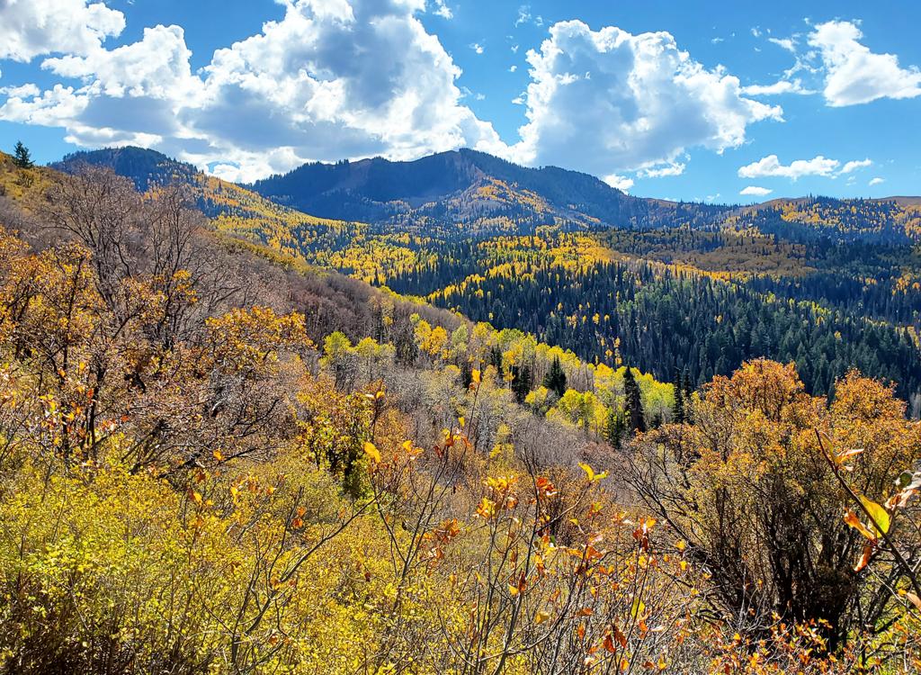
Views on the ridgeline of the Hunter trail are magnificent!
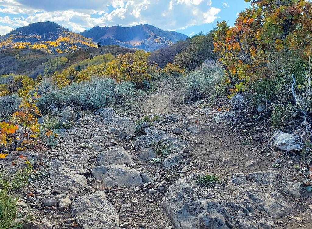
A rock garden. The trail always widens as riders try to dodge the rocks. But it never works for long. Because there's always more rocks.
Next comes a mile of ridgeline riding, with some mild
up-and-down. This is great spot for views.
This area is also more exposed to weathering. There are a few short
rock gardens that aren't too tough to bang across.
At around mile 3, Hunter descends along the side of a
canyon, giving back about 200 vertical feet. Fir and aspen forest will
alternate with maple and scrub oak.
Across the canyon, you can see the path of the Olympic trail and the
ski lift on top of the hill above the Olympic Park.
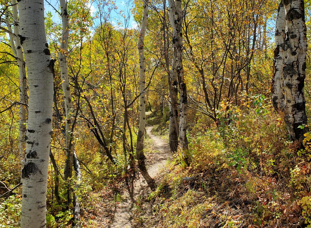
Smooth flowing trail toward the southern side of Hunter.
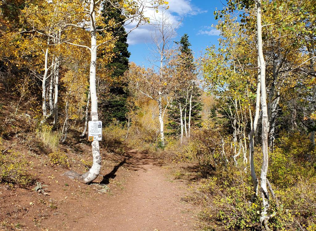
Here's the southern end of the Hunter Trail, looking north from Midmountain.
You'll now climb, more gently this time. You're on a
north-facing slope here so it's fir and aspen.
At mile 3.6 from Ranch to Ridge, you'll pop out of the
forest. Here there's a turn excavated into the hill by multiple bike
tires. If you keep uphill and right, you'll be on Midmountain southbound
toward Spiro. If you drop down and left, you're on Ambush heading toward
the Olympic trail and -- lower down -- Rosebud's Heaven, Dubois and
Collins. (Remember that Rob's is one-way uphill.)
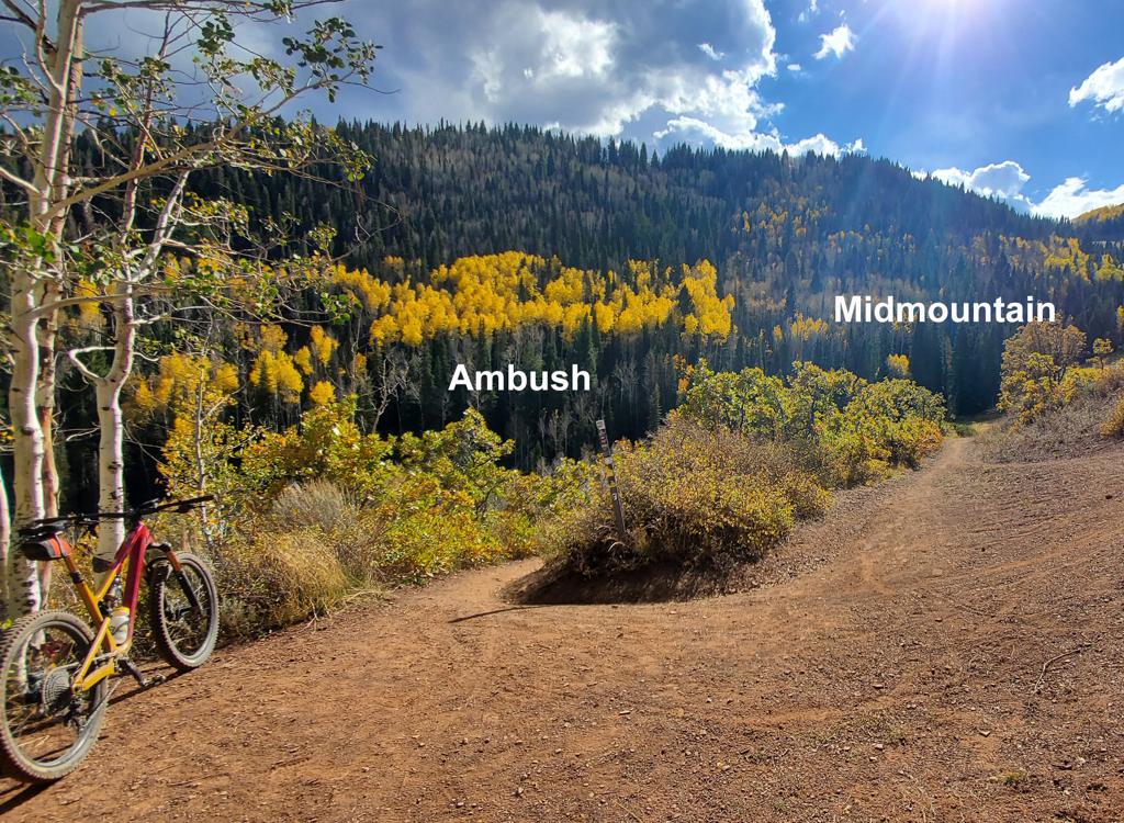
Looking south from the end of Hunter.
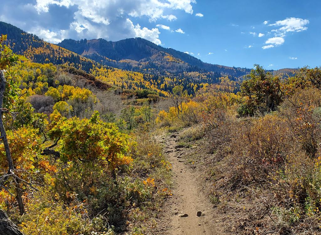
Another beautiful view of fall colors on the Hunter trail.
The Ranch to Ridge trail is an instant hit and it will
quickly become a classic must-ride. I was surprised by the volume of
weekday riders here when I made my check-out ride. But I shouldn't have
been, because Ranch to Ridge is a definite 5-star trip. Ranch to Ridge has
also made the old Hunter trail useful for "outsiders" who don't
own a home in Pinebrook.
Whether your ride plan takes you uphill or down, this is a route you'll
want to do.
Getting there: Ecker Hill (Kilby Road) Park and RideThere's no dedicated trailhead for the Ranch to Ridge trail. But you're
allowed to use the Park And Ride lot across the street. (DO NOT park in
the Ecker Hill Middle School lot.) From I-80 at Kimball Junction, turn
south -- toward Park City. In less than 0.2 miles, turn right at the light
onto Ute Boulevard. At the roundabout, take the first right onto Landmark
Drive, which will become Kilby Road. When you see the middle school
approaching on the left, turn into the Park and Ride entry on your right.
Cross the street and find the trail east of the road into school parking.
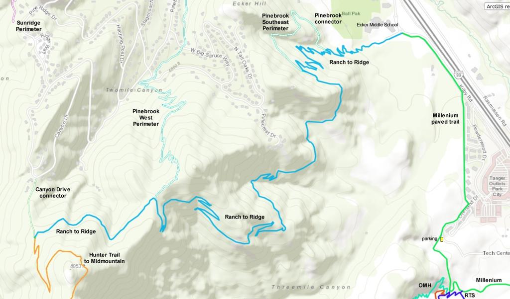
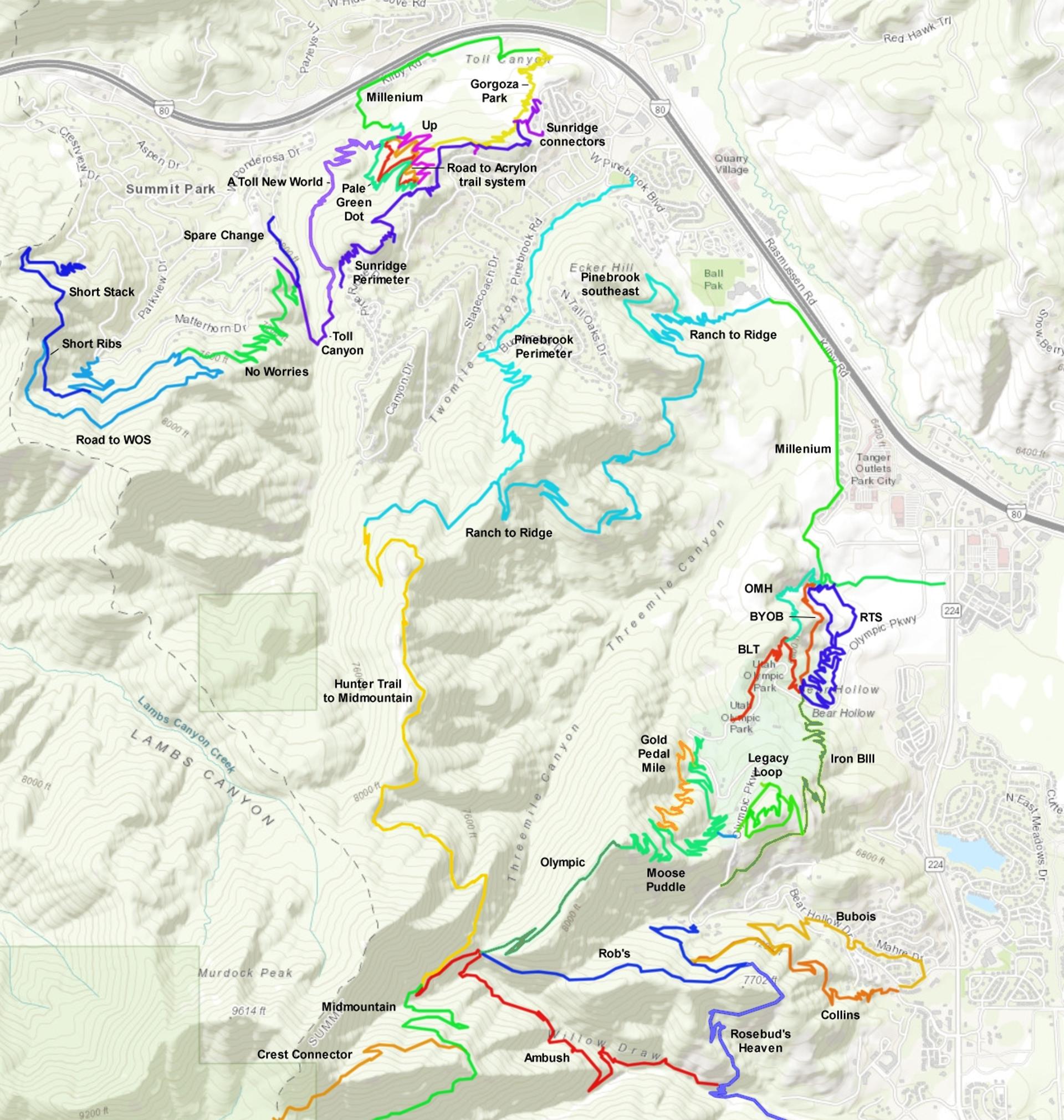
Map of Ranch to Ridge
Invalid block structure or missing enabled_block_type.
Invalid block structure or missing enabled_block_type.
Invalid block structure or missing enabled_block_type.
Invalid block structure or missing enabled_block_type.
Invalid block structure or missing enabled_block_type.
Invalid block structure or missing enabled_block_type.
Invalid block structure or missing enabled_block_type.
Invalid block structure or missing enabled_block_type.
Invalid block structure or missing enabled_block_type.
Invalid block structure or missing enabled_block_type.
Invalid block structure or missing enabled_block_type.
Invalid block structure or missing enabled_block_type.
Invalid block structure or missing enabled_block_type.
Invalid block structure or missing enabled_block_type.
Invalid block structure or missing enabled_block_type.
Invalid block structure or missing enabled_block_type.