Bruce 's son Alex pedals along the conglomerate and juniper mountainside near Echo Reservoir. The conglomerate was deposited during the late Cretacious (the end of the age of dinosaurs, around 70 million years ago) by streams flowing east from western Utah. During that time, the Great Basin was temporarily elevated higher than eastern Utah, which was covered by shallow sea. Photo August 6, 1999
The Rail Trail
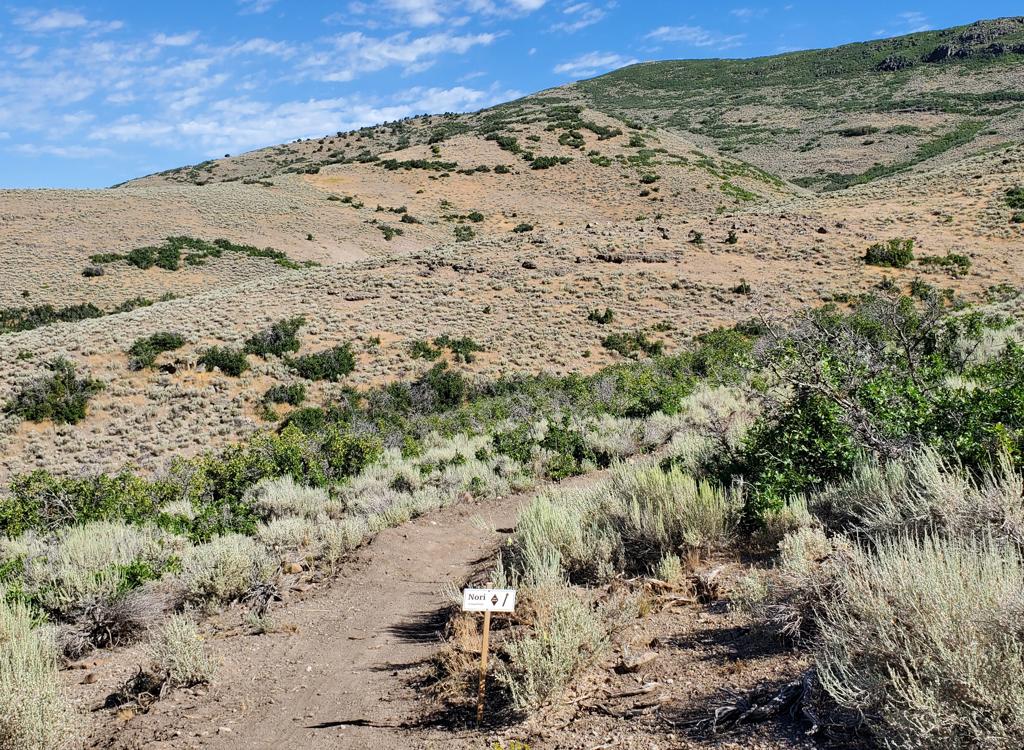
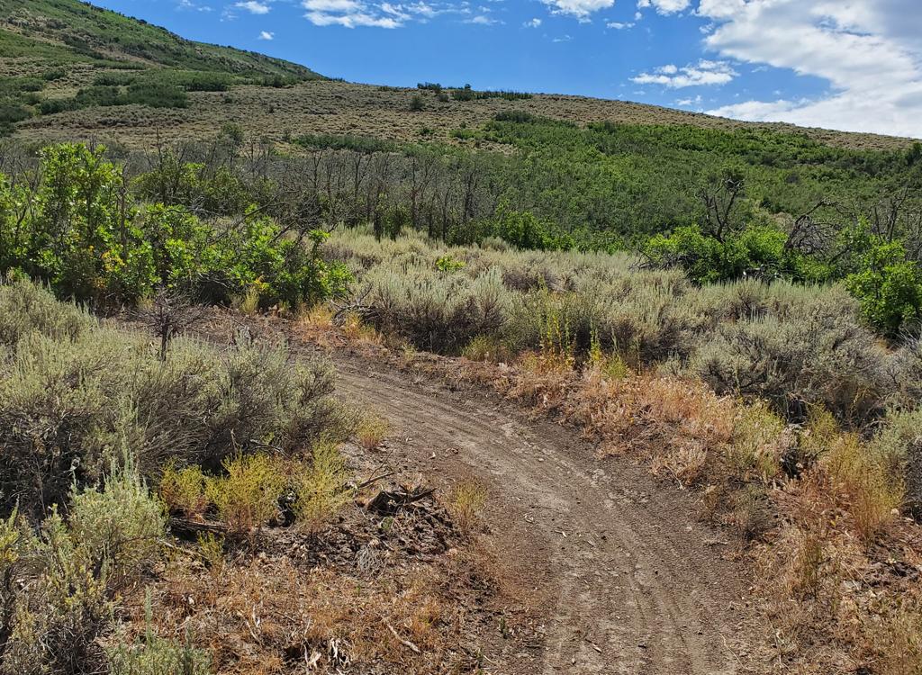
The Rail Trail is 30 miles long, extending from the Prospector area of Park City down to Echo Junction along a former railroad route. The Union Pacific Rail Trail State Park is open to all non-motorized traffic, but finds its greatest use among mountain bikers.
The trail is cinder-and-dirt double-track, and as you'd guess from its history as a railroad
line, the elevation change is slow and the curves are gentle. There's
a wide variety of terrain
along the 30 miles, ranging from Echo Reservoir, where rough rock, juniper,
and sunflowers
prevail, to the lush green farmland along the Weber River, to the sage
and bitterbrush hills
climbing to Park City.

A sunflower along the trail welcomes the morning sunshine. August 6, 1999.

View from the bridge over the Weber River near Wanship. No motorized vehicles are allowed on the trail. August 6, 1999 by Bruce Argyle
The upper end of the trail begins in Park City. It joins Interstate 80 near US 40, then winds
along with -- and occasionally between lanes of -- the interstate down
through sage, bitterbrush,
and gambel oak. After the Wanship trailhead, the trail travels along the
Weber River into farmland.
Besides contented cows and horses, your kids will see plenty of cottonwood
trees, choke cherry,
wild rose, and wild currant.
Cutting through the edge of Coalville, the trail winds along the shores of Echo Reservoir.
There are multiple spots where the family can clamber down to the water
for a picnic or play.
The trail is very smooth, but some loose cinder on the trail surface may
make going hard for
tiny ones with training wheels.

A blossom of chicory bounces in the raindrops of a passing shower. August 6, 1999

Photo August 6, 1999
Could there be anything better than this? Alex and Jackie , the biking-fanatic Jack Russell terrier, wait for dad to finish cooking the turkey tetrazinni on the shore of Echo Reservoir.
The ski slopes of Deer Valley and Park City can be seen on the mountains in the background.Getting there: From Salt Lake, take I-80 over Parley's,
then pick your trailhead. From the Ogden area, head up I-84 to Echo Junction.
Park City Trailhead: in Park City, take Kearns Blvd to Bonanza Dr, then turn on Prospector Ave to behind the Park City Plaza. N 40° 39.684' W 111° 29.894'.
Jordanelle Trailhead: take the U-248 exit from US-40 about 5 miles south of I-80, and park on the frontage road. The trail is just east. Star Pointe Trailhead: exit I-80 to US-40. 2 miles south, turn into the Silver Creek Industrial Park and follow the signs to the trail.
Wanship Trailhead: exit I-80 into Wanship. The parking area is just east of the intersection between U-32 and US-189.
Coalville Trailhead: immediately after exiting I-80, the trail crosses the road as you head into Coalville. Find a place to park and backtrack to the trail.
Echo Trailheads: the trail is accessible from the road on several areas along the reservoir. From the south, exit into Coalville, turn left on the main drag and head 7 miles north. From Echo Junction, take exit 169 from I-80 and turn right to head south.

Rail Trail to Echo Reservoir
Riding resources:
One-page trail guide
GPS Track File (right-click and "Save Target as..."):
GPX
Low-res topo for printing: View
Lodging, camping, shops: Links to Park City area resources
One-page trail guide
GPS Track File (right-click and "Save Target as..."):
GPX
Low-res topo for printing: View
Lodging, camping, shops: Links to Park City area resources