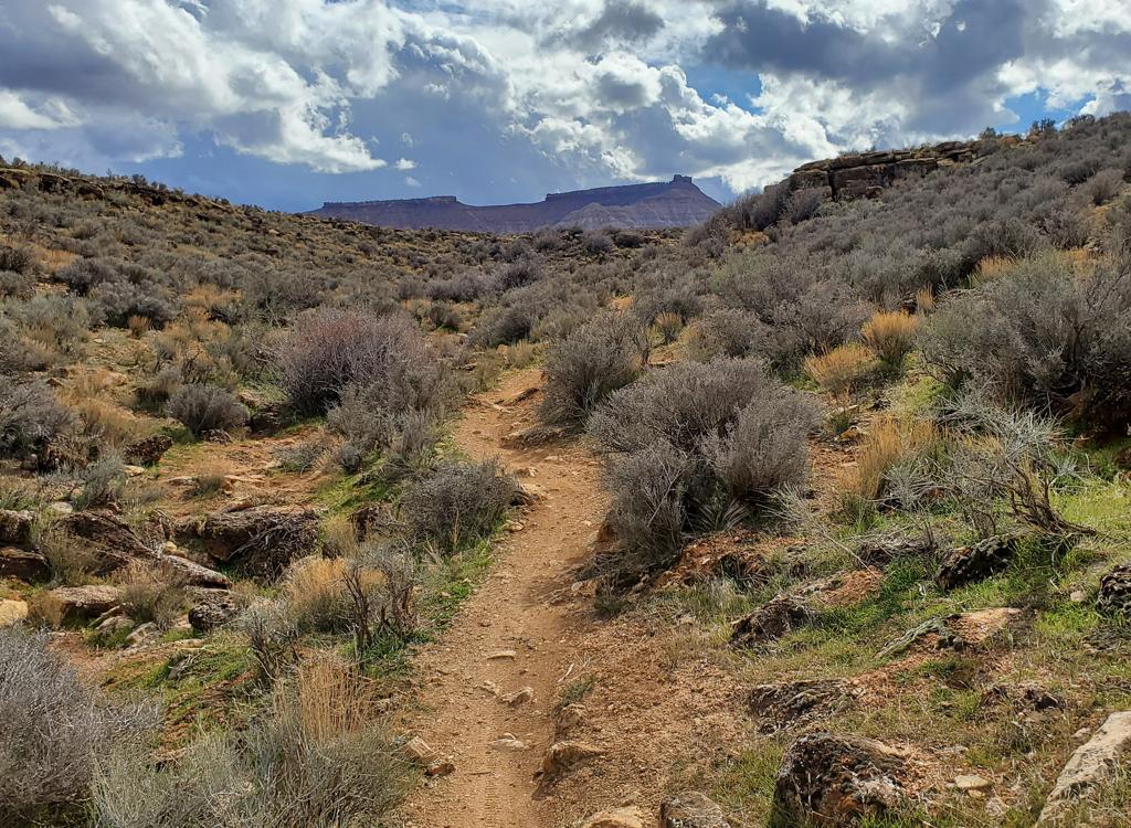

The official Temple Quarry Trail runs from the St. George airport to the western side of Black Hill. At the spot where the pioneers quarried volcanic basalt for the foundation and basement of the temple, it turns around. Except for some steps in the first 1/10th mile (with a ride-around higher on the hill that's badly eroded in 2017) the trail is flat and easy to ride.
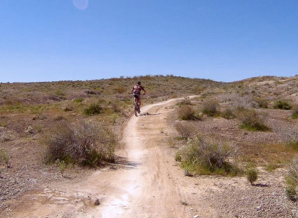
The trail starts on the southeast side of Black Hill next to the old airport. There's paved parking at the trailhead. The official trail ends at the quarry on the west side of the hill, but there's some expert-level singletrack that extends north through the boulders if you're so inclined.


The trail is still very easy in 2017, but there's been some erosion from rainstorms that needs TLC. So there will be an occasional cluster of exposed rocks that will stop small children riding small-wheeled bikes.


The cap of Black Hill is basalt, deposited when lava from a nearby volcano flowed over a flat plain. Then over time the region surrounding the hill eroded away, leaving what is now Black Hill covered with basalt. Pieces of this rock crack away, littering the hillside.


The pioneers harvested blocks of this stone to form the foundation for the St. George temple. You can still see the drill-marks where the pioneers split rock.

, shown here in this 2000 photo with (L to R) children Alex, Kriste...")
About 0.8 mile past the quarry, the "buffed" trail peters out. To continue, follow the faint trail down to the flood-catch ditch, head north, and see if you can climb the loose rock up into the notch in the mesa. If you can make it, the trail continues up to the tippy top, at 2 miles past the Quarry.


Riding resources:
One-page riding guide
GPS track file:
download
Lodging, camping, shops:
Links to St.
George area resources