
"The Scout Trails"
In December 2014, trail crews finished revising old hiking trails on the east escarpment of the Virgin River Anticline southeast of Quail Creek Reservoir. The result is a system of cliffside loops with fabulous views and great technical riding. It was an immediate hit among hard-core mountain bikers. This system is commonly called the Scout Trails.
The Lakeside Trail functions as part of this system for now, but is discussed on a separate page. For other riding in the Quail Creek area, see the Quail Creek Trail and Rhythm and Blues pages.
These trails hold up well during rainy weather. So the Quail Overlook system can be your go-to ride when other trails are muddy.


For simplicity, you can simply keep to the left and visit each tooth from south to north for a fully-clockwise trip. But some spots ride better in a specific direction.


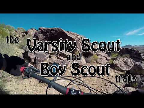
Loop 2 (Boy Scout) rides best clockwise, and Loop 3 (Varsity Scout) rides best counterclockwise starting uphill from the far end. Look at the map to see how you can loopy-loop these two from the Anticline Access trail.


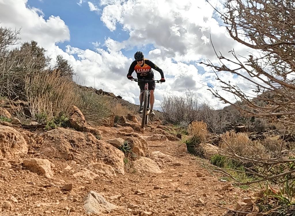
This first section is your test: Did you ride it clean? If so, you're golden for the whole ride. Dab a couple of times? You'll still have fun, go ahead. Walk most of the first climb? Go find yourself another place to ride. This not a ride for beginners, and early-intermediates will struggle -- and possibly get hurt.
Cross over the dip. Fork to the right after one turn (the left fork is the Lakeside trail). Climb back onto conglomerate. Ride 0.3 miles, then keep to the right at two trail forks, which are the entry and exit of the Boy Scout Loop. At the third fork, go left uphill on switchbacks. (Note: at this 3rd fork, keeping level and right takes you to the doubletrack and a visit to the overlook of the Harrisburg Gap dam.) You're climbing the far side of Loop 3, the Varsity Scout. Climb to a little dip between teeth 3 and 4 of the reef.
 on the northern end of tooth number 4.")

You're now heading back southwest. Visit the top of tooth 3, then keep straight and left at a trail fork, descending back to the Access trail. Fork right. At the fork about 100 yards later, turn right on Boy Scout to climb back uphill. Descending from the top of tooth 2, keep right at the trail fork (repeating a short trail segment). Now turn right on the Anticline Access trail, and keep left at the fork you used earlier to climb Boy Scout. Proceed back south to the deep dip near the dam.
NOTE 2017: 200 feet down the wash on your right, singletrack leaves the washbottom. It will take you to a switchback on the edge of the wash. Turn right to continue. This route cuts off 1/10th mile, but it avoids the worst rocky plunge of the washbottom.
We're now ready to finish the clockwise Cub Scout loop. Follow the Lower Anticline trail 1-1/3 miles back to the parking lot.

The trail starts about 0.1 mile downhill from the ridgeline parking, 200 feet uphill from the East Lakeside Trail parking, on the north side of the road. Look for a bunch of huge out-of-place boulders (an ATV barrier).
At the top of the hill at mile 0.9, a doubletrack forks uphill to the hollow between tooth 3 and tooth 4, then goes downhill to the Harrisburg Gap dam overlook. I've titled this dirt road the Harrisburg Gap DT on my map. Then at mile 1.0, fork left and ride 50 feet to the Overlook.

(Loop 1 CW, Loop 3 CCW, Loop 2 CW)
0.0 L uphill from parking, Cub Scout Loop
N37 10.095 W113 23.626
Climbing ridge tooth #1
1.1 Drop into switchbacks
1.6 Cross wash to Anticline Access trail
N37 10.393 W113 23.333
1.65 R fork (L = Lakeview trail)
1.9 Keep R on Anticline Access
(L = Boy Scout start)
N37 10.504 W113 23.195
1.95 Keep R, stay on Anticline Access
(L = Boy Scout and Varsity return)
N37 10.511 W113 23.202
2.1 L uphill on Varsity Scout
(Straight takes you to Gap view
or to CCW Loop 4 Adventure Scout)
N37 10.589 W113 23.159
Begin CCW Loop 3
2.2 L on DT to hilltop, L on ST
Staying on Varsity Scout
(R = push-a-bike Loop 4)
N37 10.621 W113 23.176
2.6 L downhill
(Joining Boy Scout down)
N37 10.490 W113 23.260
2.7 R on Anticline Access
N37 10.511 W113 23.202
2.75 R uphill on Boy Scout
N37 10.504 W113 23.195
Begin CW Loop 2
3.3 R downhill, joining Varsity return
(repeating 1/10 mile section)
N37 10.489 W113 23.260
3.4 R on Anticline Access
N37 10.511 W113 23.202
Homeward bound
3.45 Keep L N37 10.504 W113 23.195
(R = back up Boy Scout)
3.65 L downhill (R = Lakeview)
3.7 L down Wash Section, Cub Scout
N37 10.393 W113 23.333
Option: keep R on ST to bypass worst part of wash
3.8 R on Lower Anticline section of Cub Scout
N37 10.330 W113 23.286
5.1 Back at parking
0.0 L uphill from parking, Cub Scout Loop
N37 10.095 W113 23.626
Climb to top of first tooth
1.1 Drop into switchbacks
1.6 Cross wash to Anticline Access trail
N37 10.393 W113 23.333
1.65 R fork (L = Lakeview trail)
1.9 Keep R on Anticline Access
N37 10.504 W113 23.195
1.95 Keep R on Anticline Access
N37 10.511 W113 23.202
2.1 L uphill on Varsity Scout
N37 10.589 W113 23.159
2.2 L on DT to hilltop, R on ST
Now on Adventure Scout
(Going northeast, stiff climb)
N37 10.621 W113 23.176
2.4 Top of 4th tooth, begin descent
3.1 Gap viewpoint over dam
N37 10.707 W113 22.982
South on Harrisburg Gap DT
3.3 Veer R onto ST N37 10.604 W113 23.107
3.4 Cross DT N37 10.594 W113 23.152
R uphill on Varsity Scout (repeat segment)
N37 10.589 W113 23.159
3.5 Again at top of hill at DT
This time, L on ST Varsity Scout
N37 10.621 W113 23.176
3.9 R uphill to Boy Scout (tooth 2)
N37 10.489 W113 23.260
4.5 R on Anticline Access
N37 10.503 W113 23.193
4.75 L downhill (R = Lakeview)
4.8 L down Wash section of Cub Scout loop
N37 10.393 W113 23.333
4.9 R on Lower Anticline section, Cub Scout
N37 10.330 W113 23.286
6.2 Back at parking

On I-15 about 10 miles north of St. George, take the Hurricane (US-9) exit eastbound. Drive 2.6 miles. After descending part-way down the hill, turn left toward Quail Creek at the light (onto State Road 318). Drive another 0.4 miles north. When you see the chain-link fence of the water treatment facility, turn right onto the road heading east along the fence. (You're following the signs for the Scout Camp.) As you reach the fence corner, turn left (north) to continue along the fence. And at the next fence corner near the dam, turn right (east). Now stay straight as you dip through the old scar from the 1989 dam failure. Climb up to the top of the little hill. Turn left into the small parking area.
The switchbacks at the north end of Cub Scout can be damaged if ridden muddy. For current conditions, contact Over the Edge Sports, 76 E. 100 S. in Hurricane, 435-635-5455. If you "like" them on Facebook, you can follow their conditions reports for the area trails in your news feed.
Single-page on-trail riding guide (Expert Tour)
GPS track files (right-click and "Save as..."):
Recommended double figure-8, 5.1 miles
4.9-mile figure-8 track
Full tour (6.2-mile expert) track
Multi-track file of individual Quail Overlook area trails
GPX Rhythm and Blues
GPX Quail Creek Trail
Map for printing: View area topo map
Quail Creek Trail page
Rhythm and Blues trail page
Lodging, camping, shops: Links to St. George area resources