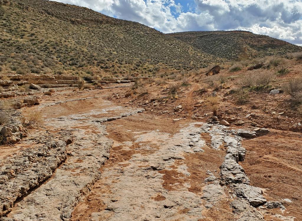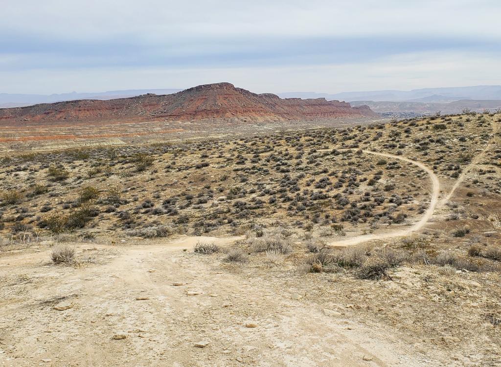
The Pushing Tin loop circles the top of a small mesa just south of the St. George airport. The two-mile loop itself is reached via an out-and-back singletrack from one of three trailheads in the Desert Canyons trail system: Meditation Rock, Desert Canyons ( Secret Sauce ), or a primitive trailhead along the parkway. The minimum ride is 3 miles. The most popular route is 4.5 miles total. Weather permitting, this is a year-round ride.
The average elevation for the ride is 2700 feet, with around 300 vertical feet of climbing on the loop. There's about 100 feet of additional climbing if you start from Meditation Rock trailhead parking (as most riders currently do). This lariat ride from Meditation Rock is 4.5 miles long, and is my recommended option.


The Meditation Rock trailhead is reached via the Southern Parkway (Highway 7). Around 6 miles east of I-15, exit the Southern Parkway onto the Desert Canyons Parkway and turn south (right if you came from the freeway). Take the first right on Desert Edge Drive. After 100 feet, turn right into the parking area.


At mile 0.5, keep straight and right at the trail fork. The path to your left goes 0.2 miles to the Saddle trailhead (currently used only by locals because the road that will service the Saddle trailhead is still under construction in spring 2018).
Once you're through the wash, cross the dirt road. (On the south side of this dirt road, just west of the trail cross-over, is the unimproved (as of March 2018) Pushing Tin trailhead. From here, pedal north. In 1/4 mile you'll reach a trail fork. Left is Pushing Tin; right takes you east 2/3 mile to the Desert Canyons trails (Secret Sauce and Claim Jumper) .


Pushing Tin links to Secret Sauce via a 0.7 mile connector trail. On the Pushing Tin end, the trail is on the right as you ride from the underpass (or primitive parking area) toward the loop, just before you dip through the wash the second time and begin climbing the hill.
You can reach Pushing Tin from the Desert Canyons trailhead by forking left on the connector trail immediately after leaving the trailhead on Secret Sauce. The Desert Canyons trailhead is across the parkway from Meditation Rock.

There are a couple of patches of technical rock as you continue your climb up the mesa. Most of these are located on the serpent turns of the loop's northeast corner.


Nice quickie ride. Fairly easy on the body, even with the tech rock sections. Will satisfy a wide range of ability levels.
0.0 Step over gate
N37 00.423 W113 30.789
0.4 Keep right (L = to Saddle TH)
N37 00.369 W113 31.122
1.1 R into wash, cross under parkway
N37 00.268 W113 31.665
1.2 Cross road (TH to your L)
N37 00.340 W113 31.625
1.5 Keep L (R = to Secret Sauce)
N37 00.600 W113 31.481
1.7 Loop fork, keep straight
N37 00.700 W113 31.528
2.0 Pushing Tin Point
N37 00.869 W113 31.593
2.6 Keep R (alt tech line on L)
N37 00.627 W113 31.702
3.3 Will Gilbert Point
N37 00.489 W113 31.642
3.8 Back at loop fork, hard R
N37 00.700 W113 31.528
5.5 Back at TH

Southbound on I-15, take the Southern Parkway (Utah Highway 7) about a mile from the Arizona border. Keep left on the exit off-ramp to pass under I-15. Drive around 6 miles to the Desert Canyons Parkway exit. Turn right on Desert Canyons Parkway, then in 200 feet, right again on Desert Edge Drive. In 100 feet, turn right into the parking area of the Meditation Rock trailhead.
Pushing Tin trailhead: This trailhead will likely change as the area is developed. As you exit I-15, turn left (north) on Desert Canyons Parkway. The first dirt road to your left goes one mile directly to the Pushing Tin trailhead, but there's a lot of construction there now. The second left (0.5 miles from the parkway) passes the St. George Motoproving Ground. Immediately after the moto park, turn left to drive a mile south, then turn left on a smaller dirt road. In 1/4 mile, turn right to the parking area. The trail crosses the dirt road about 50 feet from the parking lot.
Trail guide for printing: View
GPS track files (right-click and "Save as..."):
4.5-mile lariat ride from Meditation Rock
Area multi-track file
Area aerial map for printing: View area map
Lodging, camping, shops: Links to St. George area resources


