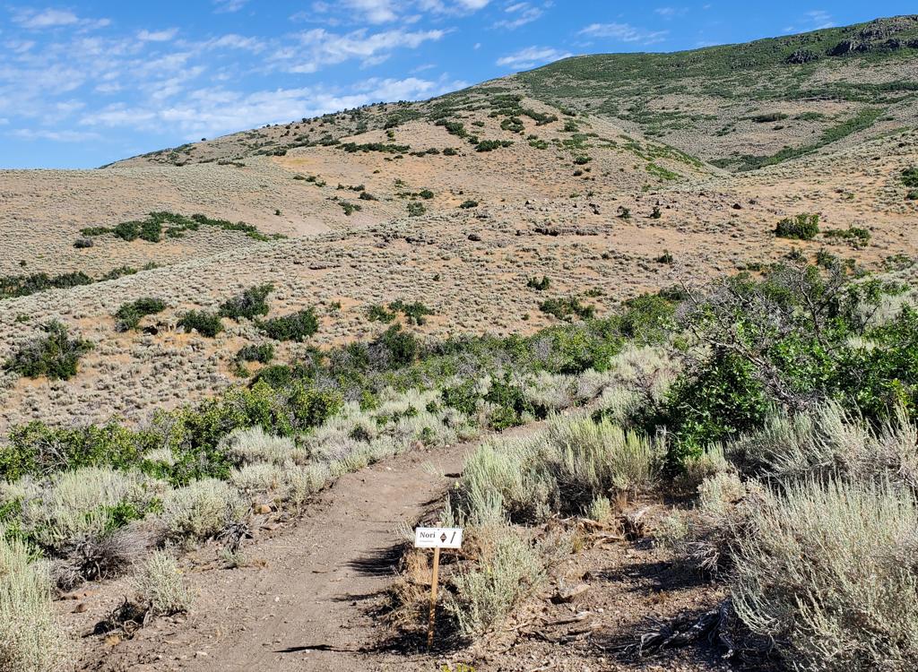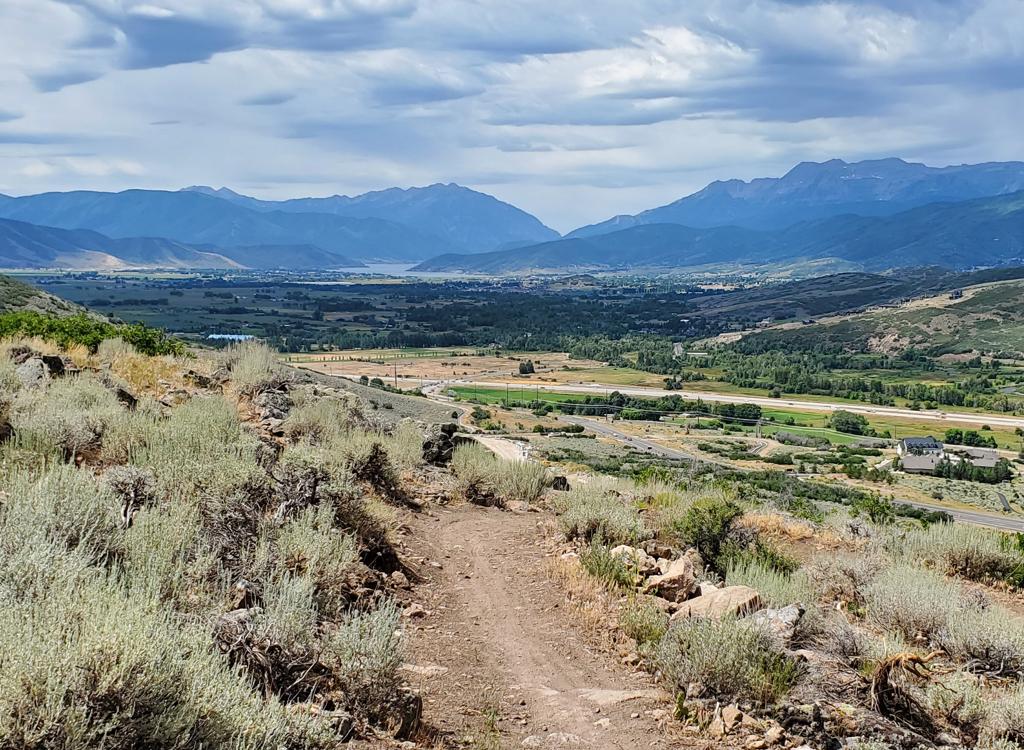
The Phosphate Trail is a new addition to the Midway trails, looping around Phosphate Hill north of town. It lies on the western edge of the Dutch Hollow trail system . The western side of the loop joins a connector that descends to the WOW (Wasatch Over Wasatch) Trail and the Pine Canyon Bike Park area trails . While the Phosphate Trail itself is only 3.5 miles long, you must take other trails to ride the loop, so your minimum ride will be 6.3 miles.
The second option below is a 9 mile loop from Dutch Hollow. This option has 1100 feet of climbing, and requires some navigation skills and careful map-following (or my GPS track). Many of the trail junctions in the Dutch Hollow system are unsigned as of June 2015.


Choose your riding direction based on what you find fun -- or what you need to work on.


To the southwest, Timpanogos peeks from behind the Cascade Springs area, with Cascade Mountain to the south. You'll get a nice look at the Wasatch Mountain State Park golf course.


This trail would be your starting route uphill for the smaller loop ride (as shown below) from Pine Canyon.


6.3 miles, about 700 vertical feet of climbing. Starts on Highway 224 just uphill from the Wasatch Mountain State Park campground at 6200 feet elevation. Rides well both directions. Clockwise puts the tighter rockier west-side switchbacks on the uphill.
From the parking on the east side of the road, take the WOW connector trail southeast to the loop. (No signs as of June 2015.) For a counterclockwise ride, straight when you hit Phosphate, straight when you reach Prospect, left onto Phosphate's northeast end, hard right to descend to WOW.

9 miles, 1100 vertical feet of climbing. Starts at 5800 feet elevation in the main parking lot for Dutch Hollow. GPS track below takes Cottontail east path the bathroom, left on Sage Loop (keep right as Barrel joins), left on Aqueduct, uphill on DT. Find the top of Prospect (if you find trail going both directions as you turn left off the doubletrack, you're on Dutchman Way and need to keep going uphill). Take Prospect southwest to Phosphate. Loop around the hill. Go right when you reach Prospect, then left on Donkey Ridge and follow it back to parking.
0.0 East past bathroom N40 32.709 W111 27.198
Immediate keep L uphill on Cottontail
Keep R (steep horse route on L)
0.1 L on Sage Loop N40 32.737 W111 27.141
0.3 Keep R (L = end of Barrel)
N40 32.832 W111 27.096
0.6 Join Sage uphill N40 33.047 W111 27.007
0.7 L on Aqueduct/Cottontail
N40 33.121 W111 27.012
0.8 Keep R on Aqueduct (L = Cottontail)
N40 33.085 W111 27.020
1.2 Keep R (L = Barrel) N40 33.117 W111 27.199
1.6 L to DT (doubletrack) and uphill
N40 33.412 W111 27.181
1.7 Keep on DT (L = to Dutchman)
N40 33.596 W111 27.299
2.1 L onto ST, Prospect Trail
N40 33.847 W111 27.263
2.2 Keep R (L downhill = Dutchman)
N40 33.752 W111 27.293
3.8 Hard R uphill on Phosphate
N40 33.012 W111 28.151
5.0 Top of saddle, altitude 6800
6.3 Keep straight (R = WOW connector)
N40 32.749 W111 28.978
7.3 Hard R onto Prospect
N40 32.796 W111 28.087
7.4 Keep L downhill to Donkey Ridge
N40 32.734 W111 28.070
8.1 Keep R (L = Dutchman Connector)
N40 32.859 W111 27.567
8.5 Stay straight (R = Luge)
N40 32.747 W111 27.383
8.6 Keep straight across Dutchman Way
N40 32.750 W111 27.345
Straight again N40 32.752 W111 27.317
8.8 Cross road N40 32.796 W111 27.259
Fork R downhill on Cottontail
N40 32.809 W111 27.241
8.9 Back at parking

Getting there, Pine Canyon (SR-222 vs 224) trailhead from Salt Lake City: Go up Parleys Canyon on I-80, then turn right (south) on US-40. Drive all the way into the middle of Heber, then at 100 South turn right on SR 113 to Midway. In the middle of Midway, continue straight as SR 113 turns south, and you'll be on SR 222/224. Go 2 blocks to 200 East and turn right. Turn left at 200 North and go about 1/2 mile west and SR 222/224 will turn right to be northbound again. When the road turns west, turn right to stay east of the golf course on 222/224. Once you pass the campground, look for the parking area on the right about 1/4 mile uphill.
From Salt Lake City: Go up Parleys Canyon on I-80, then turn right (south) on US-40. Just after descending from the dam, watch for River Road on your right. Drive about 2 miles, turning right at the Dutch Canyon sign. Find the trailhead as above.
FEE area! Dutch Hollow and Wasatch Mountain State Park (Pine Canyon) are fee areas. There is a $10 per car fee ($5 senior) in 2021. Come prepared to use the self-service envelope to leave your fee in the drop box.
Single-page riding guide, big loop from Dutch Hollow
Trail page links
Dutch Hollow
WOW
GPS track files (right-click and "Save as..."):
GPX multi-track area file
6-mile Lariat from SR224
9-mile loop from Dutch Hollow
High-res 2015 topo map: View printable topo map
Lodging, camping, shops: Links to area resources


