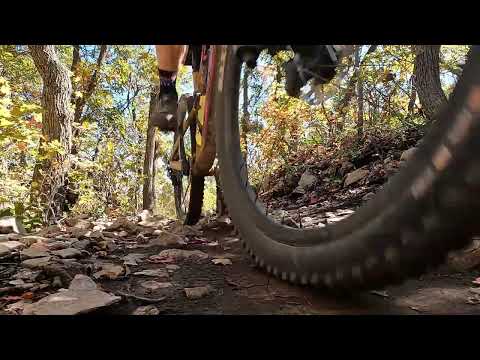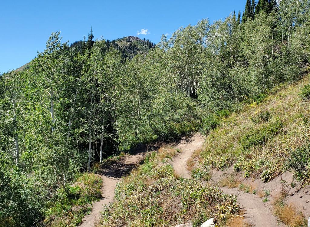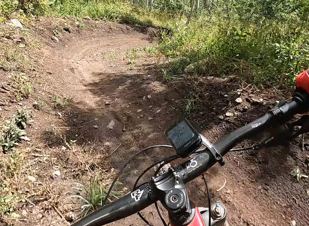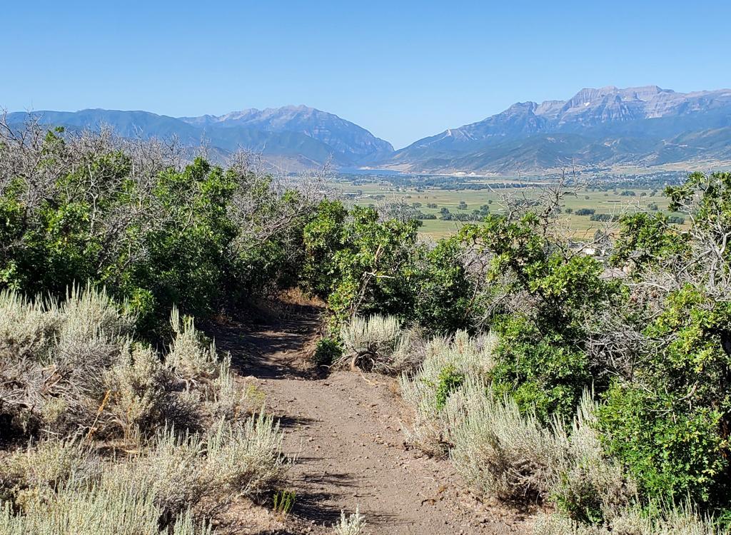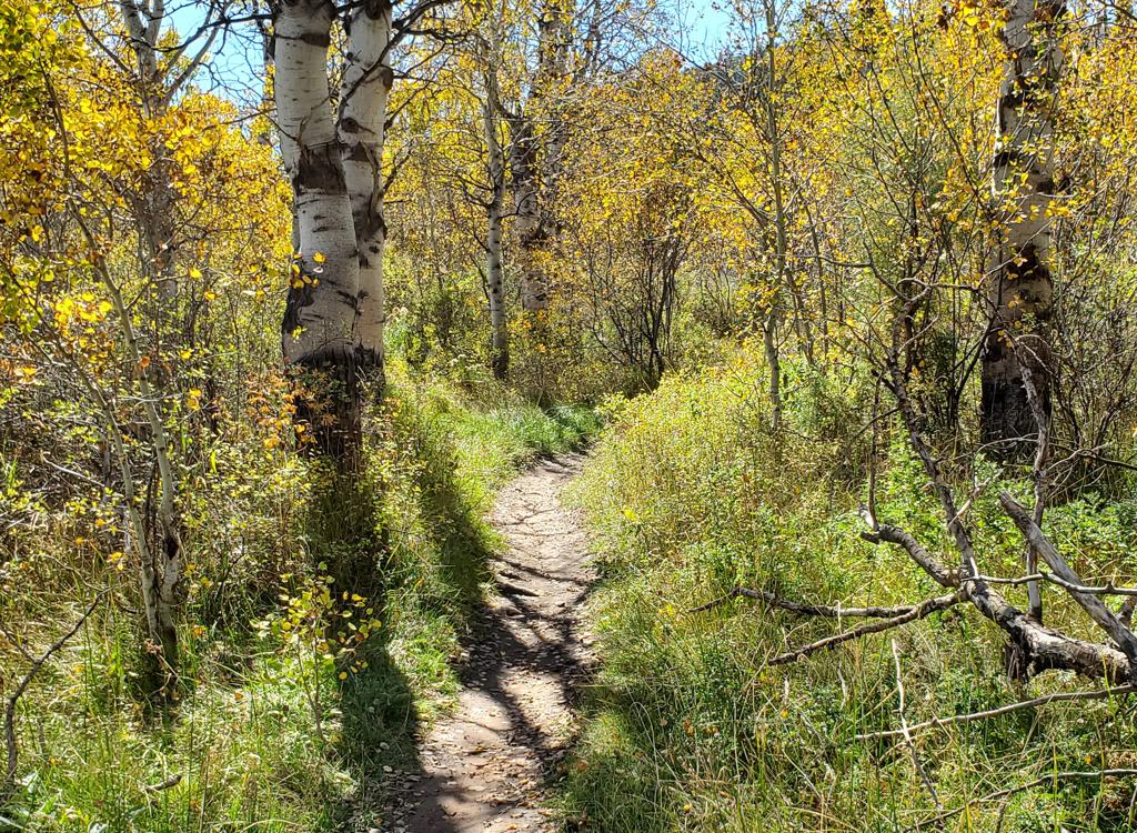
A trail view while riding RTS.
Utah Olympic Park (UOP) Lower Trails
RTS Loop, BYOB DH, OMH DH, BLT
Iron Bill plus UOP, Legacy Loop and Legacy RidgeThe trails at the Utah Olympic Park near Park City offer riding options
from beginner to upper-intermediate. The trails are located just a
mile south of I-80's Park City (Kimball Junction) exit. This page covers
the RTS, BLT, BYOB, OMH, Wild Bill, and Legacy Loop/Legacy Ridge trails. See the UOP
Moose Puddle page for higher-mountain UOP ride options.
Original review of RTS, Iron Bill, and Legacy July 15, 2015. BLT, OMH,
and BYOB added October 1, 2026.
The RTS Loop is the trail that brings most people here.
They're looking for a quick, non-painful and unthreatening ride. The loop
is a pleasant, mostly-forested 2.5 mile cruise. There's around 200 feet of
climbing on the loop.
The RTS loop would also be your most-likely starting point for any ride
of Iron Bill, BLT, OMH, or BYOB.
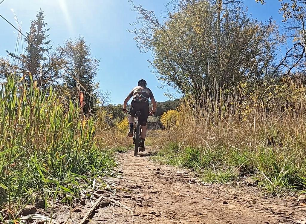
Bruce cruises between groves of trees.
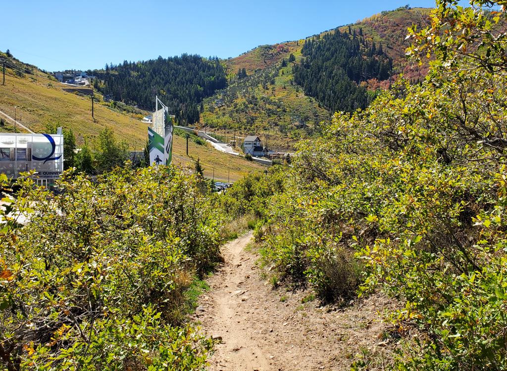
Approaching the Olympic complex on BLT.
There are two climbing routes that begin on the RTS loop.
One is BLT, which heads west up to the main Olympic facilities. BLT
begins at the highest point of the RTS loop. It's 1.1 miles long and climbs 300 feet before ending on the road in front of
the main parking area by the ski museum. BLT is used to link the RTS-area
trails uphill to Moose Puddle.
The second climbing trail is Iron Bill, which heads south
from RTS. Iron Bill climbs to the Legacy Loop trails and on to the top of
Bear Hollow Drive. It's two miles long with 500 feet of climbing.
Also discussed on this page is the Legacy Loop, which lies on a small
hill west of the midpoint of Iron Bill. It's a loop around the hill's
summit, with a ridge trail splitting the loop down the middle. There are connectors
from the loop that link to Iron Bill on the
east, and to the middle of Moose Puddle on the west.

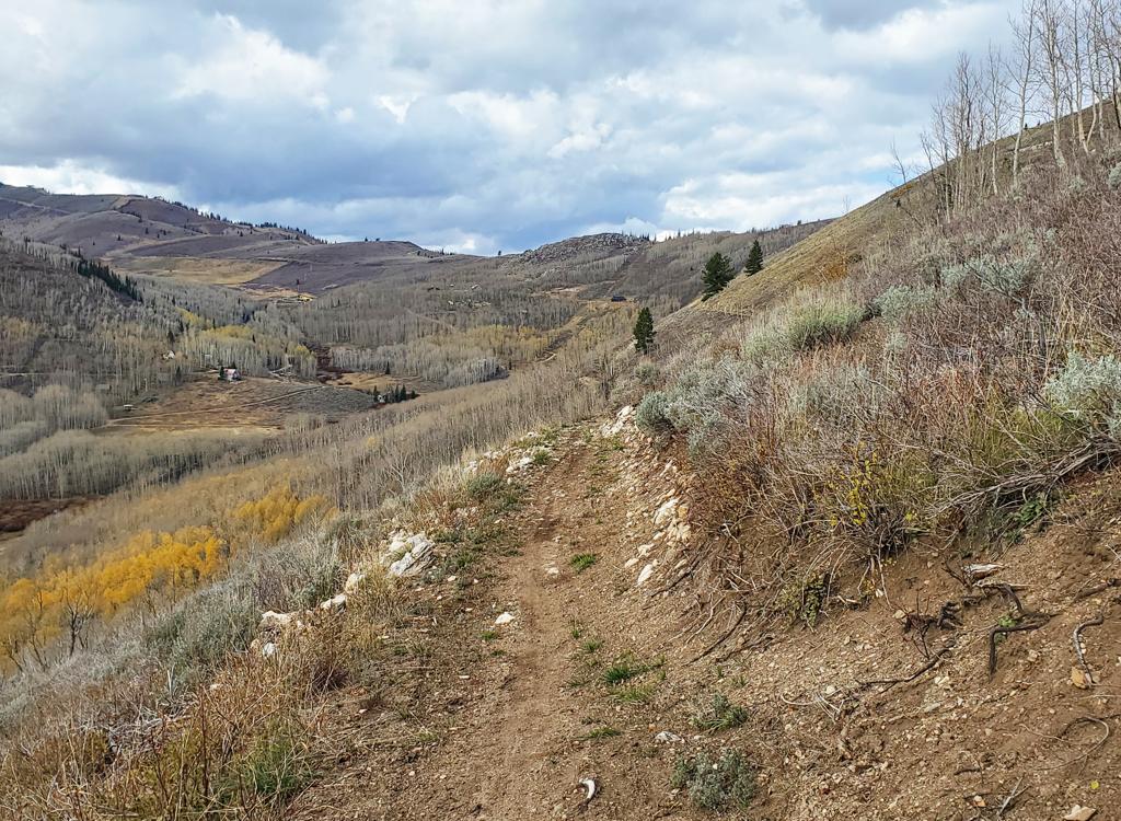
View toward Deer Valley from the Legacy Loop.
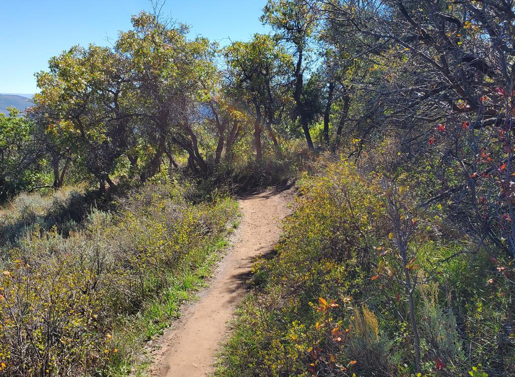
Smooth dirt ribbon winds through oak forest and meadows on BYOB.
Two one-way DH trails lie on the hillside west of the RTS
loop. The RTS trail is your route to these trails.
The lower trail is BYOB, which is generally easy riding. It's 0.7 miles
with 150 feet of descending. It begins on RTS at around its highest point,
0.6 miles from the trailhead. It reconnects to RTS at the northern end of the loop.
The OMH trail begins on BLT 0.4 miles uphill after leaving
the highest spot on RTS. OMH is 0.8 miles long and drops 250 vertical feet.
It's good for intermediate riders. Like BYOB, it connects back to RTS at
the north end.
Consider a ride that loops from the RTS trailhead clockwise to BLT then
rolls down OMH, comes back via upper RTS, then hits BYOB back downhill and
returns via lower RTS. This is a bit over 4 miles with 600 feet of
climbing.
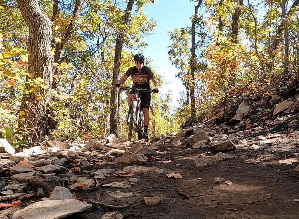
A bit of climbing between twisty downhill segments on the OMH trail.
Trailheads and connections
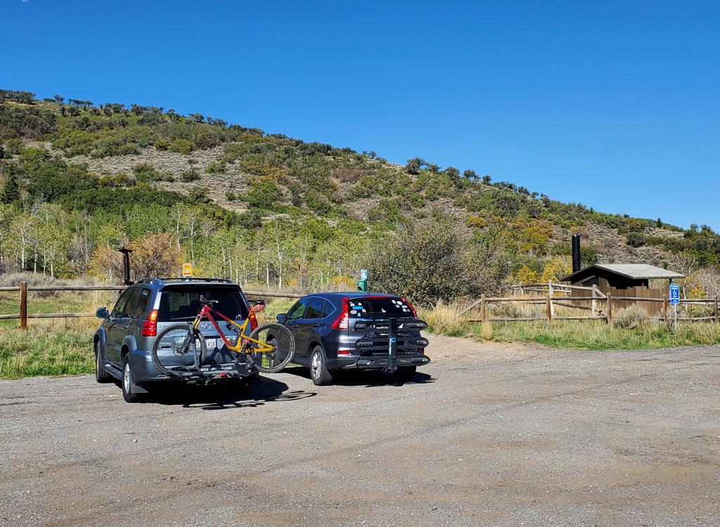
The RTS trailhead in 2026.
RTS TrailheadFrom I-80, take the Park City Kimball Junction exit. Turn south toward
Park City. At 0.4 miles from the freeway, turn right on the Olympic Parkway.
At the roundabout, go 3/4 around (effectively a left turn) to head south
on Olympic Parkway. The road will begin climbing. At one mile from I-80,
turn right into a fenced parking area with a bathroom. The RTS loop is just inside the
break in the fence.
Clockwise, RTS will take you around to Iron Bill, then BLT (which
climbs to OMH), then BYOB. At the far northern end, the DH trails BYOB and
OMH return, and there's a short connector to the paved Millenium trail.
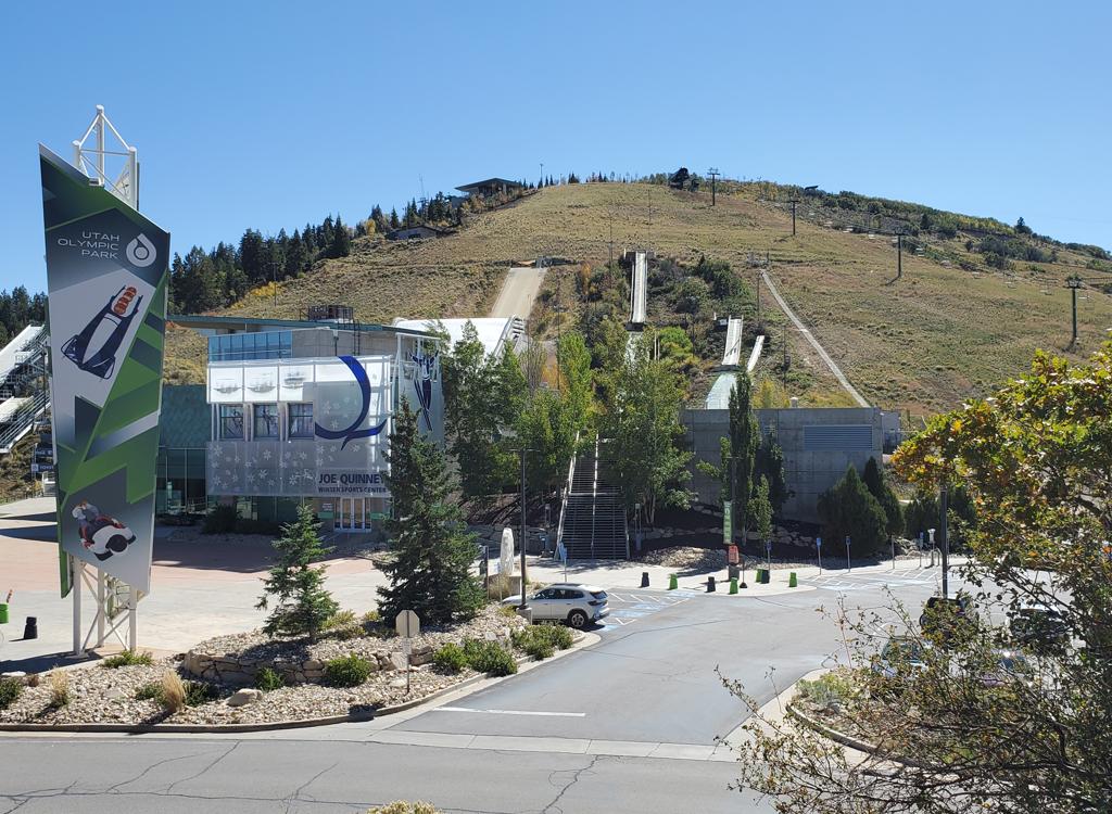
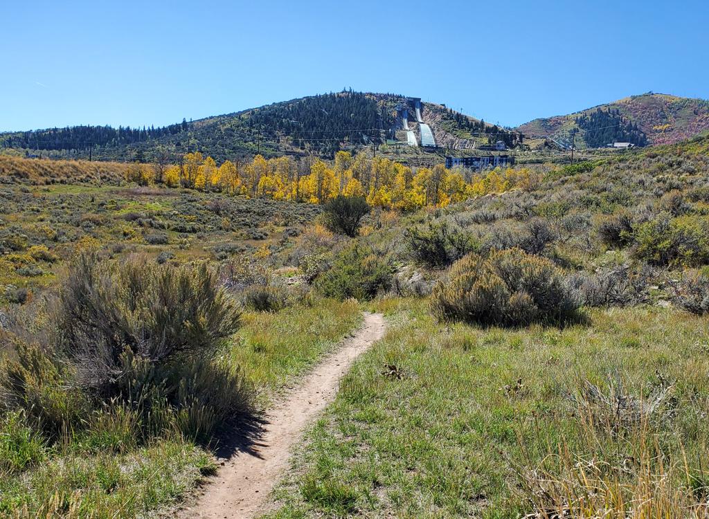
Looking across the Olympic Parkway from upper BLT toward the museum and parking entrance.
Main Olympic ParkingOne mile further up the Olympic Parkway from the RTS trailhead, you'll
see the Ski Museum on your left. Turn into the parking lot.
Across from the parking lot entry is a connector to the BLT trail,
which lies just above the roadway. Climb up on the broad gravel DT, go
around the gate, then quickly turn right onto BLT. Stay right as a hiking
trail leaves on your left uphill. BLT will take you down to OMH, then RTS
near the trail forks for Wild Bill (go hard right and right again at Wild
Bill) and BYOB (stay left then veer left uphill at the next trail fork).
Trail connections:
Millenium Trail: When riding northwest on Millenium, you'll cross the
Olympic Parkway. At a sharp rightward curve 0.6 miles later, there's a
dirt singletrack that takes you about 50 feet over to the RTS loop.
Olympic Trail: The Olympic Trail can be reached at the intersection of the
top of Rob's Trail with Ambush, just a bit below the Midmountain Trail.
From there the Olympic trail traverses northeast, with one set of
switchbacks to gain elevation, before ending 1.2 miles later at the top of
Moose Puddle. You can descend Moose Puddle -- with the option of using the
Gold Pedal Mile DH as part of your trip -- to the Olympic Parkway. Turn
left and follow the road around the turn to find the entry to BLT for your
connection to the lower UOP trails.
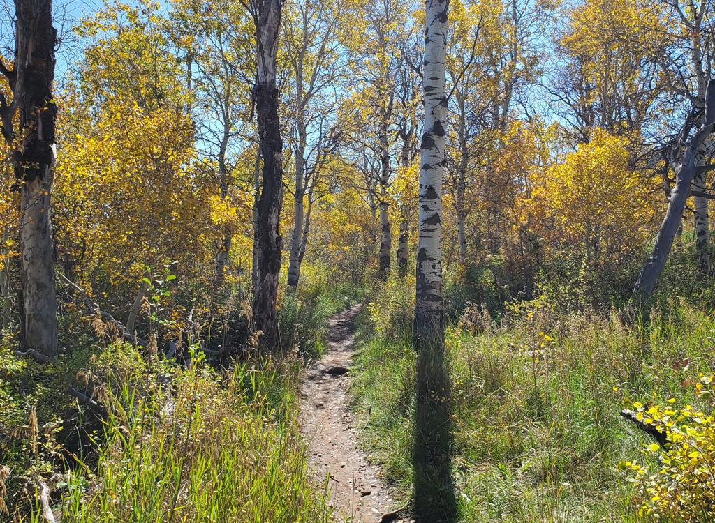
RTS alternates between mature aspen forest and meadows with views.
For beginning riders and families, I recommend the RTS loop,
on the northeastern end of the trail complex. This is the lowest-elevation
and flattest of the trails in the system. For more advanced riders, RTS is
your link to BLT, BYOB, and OMH.
The loop begins at the RTS trailhead along the Olympic Parkway. You'll want the parking
lot on the north (right) side of the road. (The parking lot just downhill on the other
side is for dog walkers -- no bikes on those trails.)
It's recommended that you ride the loop clockwise on even-numbered days, and counterclockwise
on odd-numbered days. Unfortunately, that information isn't shared at
the trailhead, nor at
the connection of the loop to UOP (Iron Bill trail) -- you see the sign
only after you've been
riding (July 2015).

Typical trail view with aspen and wildflowers, as we climb up into a gentle turn on RTS.

The only bumpy spot on the loop: rock armor plating as the trail passes through a sometimes-swampy area.
The loop is 2.5 miles round trip. There's only 200 vertical feet of elevation difference between
the lowest spot (6475 ft) and the highest (6675 ft). It's easy both technically
and aerobically,
and will make a great first Park City experience for newbies and out-of-shapers.
The riding on the RTS loop is very mellow by Park City standards. The slopes are easy, turns
are generous in radius, and 99% of the trail surface is butter-smooth.
For more advanced riders,
there are plenty of swooping turns to keep your attention.

Looking north on a downhill segment.
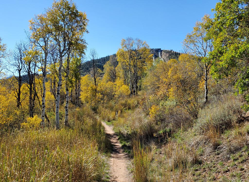
Southbound on the upper limb of the RTS loop (riding counterclockwise).
RTS is your link to the other trails in the lower Olympic
Park. In the clockwise direction RTS takes you to Iron Bill at mile 0.5 on
the left. You'll hit the bottom of BLT at 0.6, also on the left, which is
your route uphill to the OMH DH. At 0.7 is the BYOB DH, to the left.
At mile 1.6 you'll pass the bottom of BYOB (do not enter), then 100
feet later, the bottom of OMH. At this spot there's a confusion of
crossing trails. Keep generally right for find your way through to the
lower side of RTS. If you keep straight at this spot, you can connect to
the Millenium paved trail.
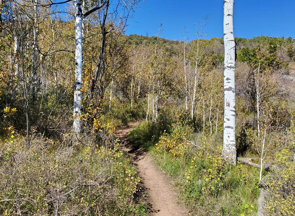
Starting uphill on BLT after forking off RTS.
BLT is a two-way trail that links the highest point of the
RTS loop up to the Olympic Parkway across from the ski museum and main
parking area. Once you arrive at the road, you can pedal a short distance
to the bottom of Moose Puddle. (Note: the Yeti trail, which started right
where BLT ends, is no longer open to bikes due a new ski run along much of
the trail's course.)
BLT is 1.1 miles long, gaining around 300 feet of elevation
from the top of RTS until it begins dropping to the Olympic Parkway.
The trail has some rocky areas, so I'd rank it as an early-intermediate
ride.
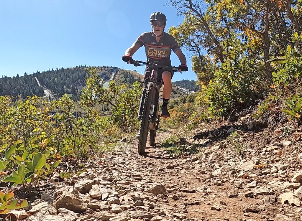
The rocks are easily conquered.
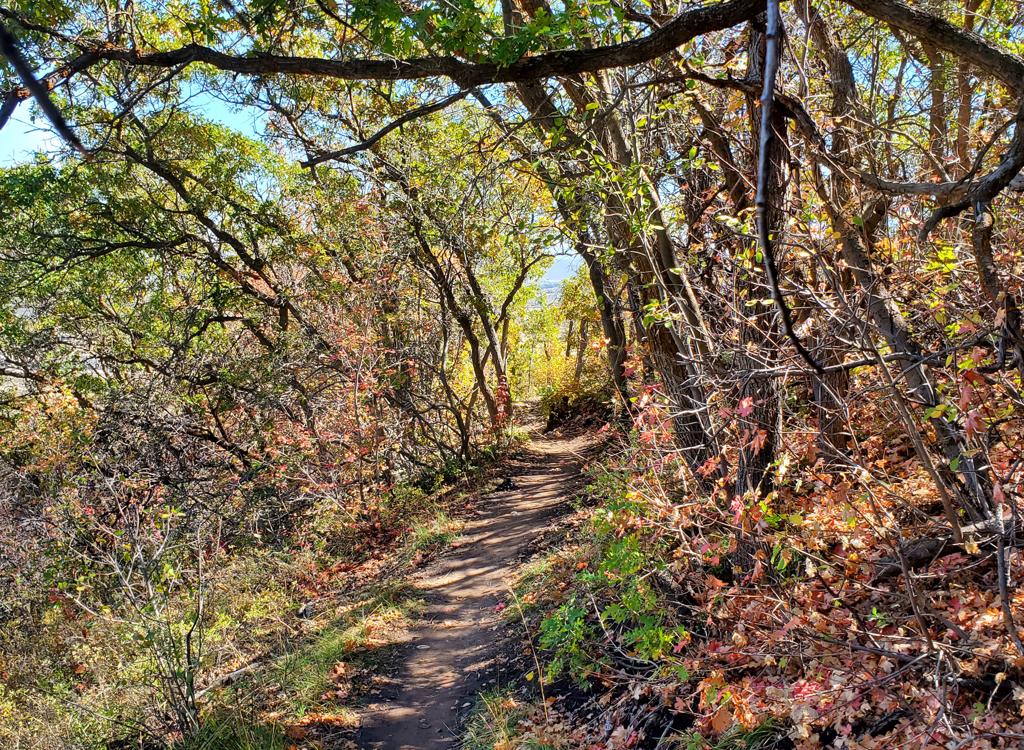
Making some turns to get higher on the ridge.
BLT starts in aspen forest at an elevation of just under
6750 feet. After a few gentle turns, it emerges onto a scrub oak hillside
where it begins climbing.
At the trail fork with the top of OMH at mile 0.4, keep left to
continue climbing on BLT. The trail will now turn from northbound to
westbound. There will be three sets of climbing turns to quickly gain
elevation, then BLT settles into a straight westbound course parallel to
the Olympic Parkway.
When BLT reaches doubletrack at mile 1.0, make a hard left
turn to go downhill around the gate. Now you can either keep straight to
drop down to the road, or make another hard turn to the right and coast
along the edge of the road for 1/10th mile before you're forced to go onto
pavement.
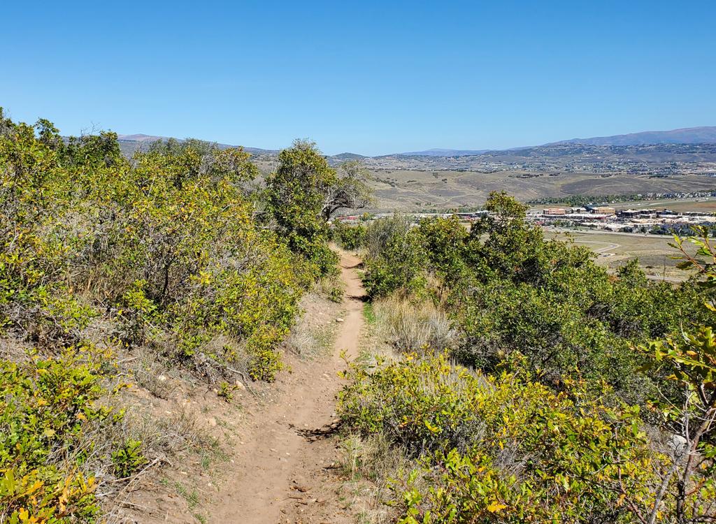
Looking back to the east as we approach BLT's highest point near the Olympic facilities.
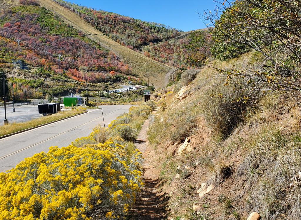
We've dropped down and around the gate. Now we'll coast downhill along the road.
To connect to Moose Puddle, follow the road as it turns to
the left. About 1/3 mile from where you left the singletrack, Moose Puddle
is on your right uphill.
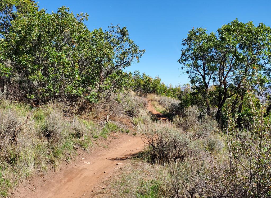
Starting out on OMH, as gentle turns meander through scattered stands of oak.
OMH is a one-way DH trail from south to north. The uphill
end is on BLT at 0.4 miles from the RTS loop. OMH is rated intermediate
because of some rock gardens and many tight linked turns. There are no
man-made stunts and no mandatory jumps or drops.
OMH is 0.8 miles long with just over 250 feet of elevation
loss. After an initial gentle descent through curvy turns, you'll hit two
slopes of multiple linked turns. The turns are tight and the traverse
between turns is short.
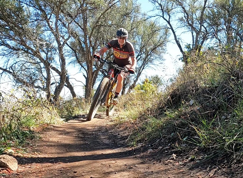
Rolling a turn on OMH.
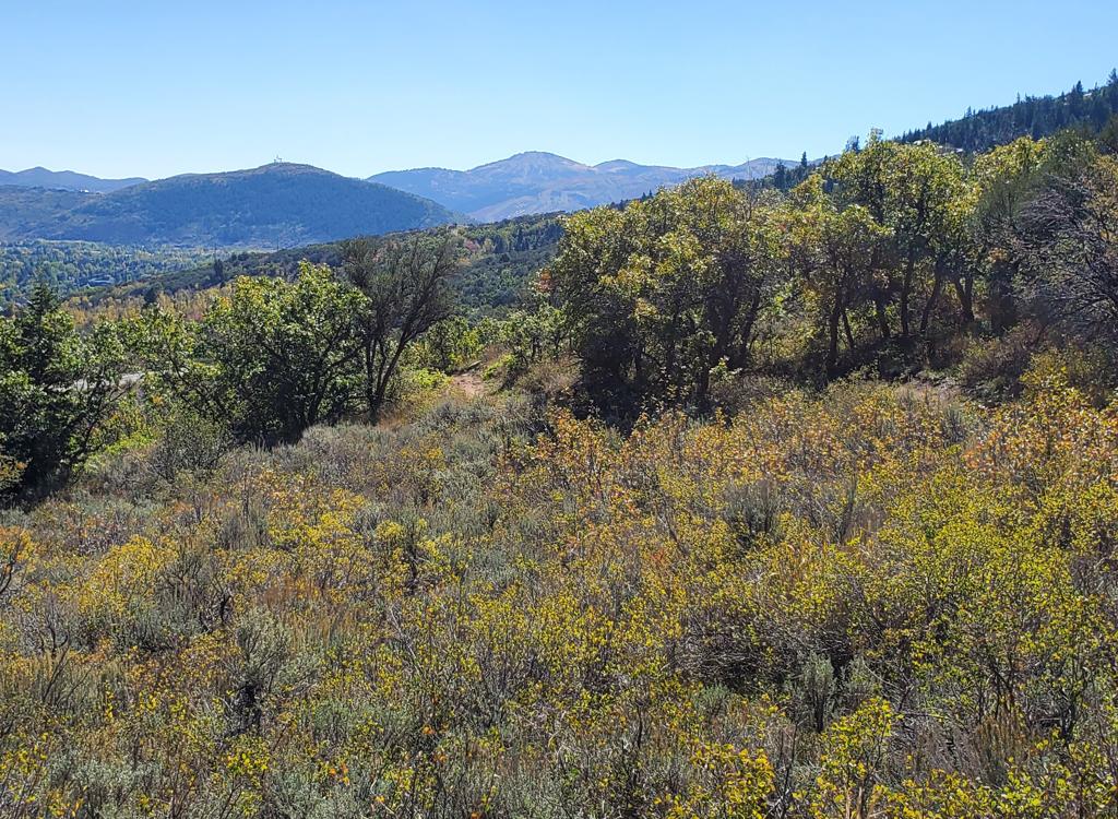
Looking back toward the south from an open area on the trail.
The terrain is mostly gambel oak, with the occasional aspen
grove. Between groves of oak are sage meadows and bitterbrush. Around
half-way down, it changes from mostly trees to mostly sage brush.
OMH ends at the northern tip of the RTS loop. To your right
is the upper limb of the loop, which is the fastest way to get back uphill
for another go. If you turn to the left, you're on the lower side of RTS,
which will take you back past the trailhead.
Approaching the junction with RTS, which is just below us in the sage brush.
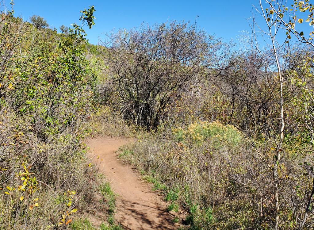
Meandering gently downhill through frequent minor turns.
BYOB is a one-way downhill trail that turns away from RTS
just north of the BLT trail fork. BYOB is overall an easy trip, but it has
one massive rock feature that you need to either plunge down or ride
around.
BYOB is 0.7 miles long, running from south to north. It has
multiple gentle "steering" turns that require attention when
you're riding fast. The terrain is mostly scrub oak, with occasional
aspens. The space between trees is filled with sage, rabbitbrush, and
bitterbrush.
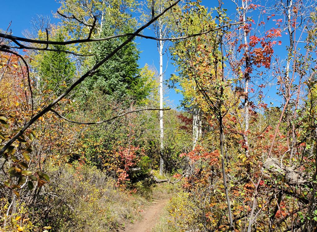
Rolling up on a small stand of forest with aspen, maple, and fir.
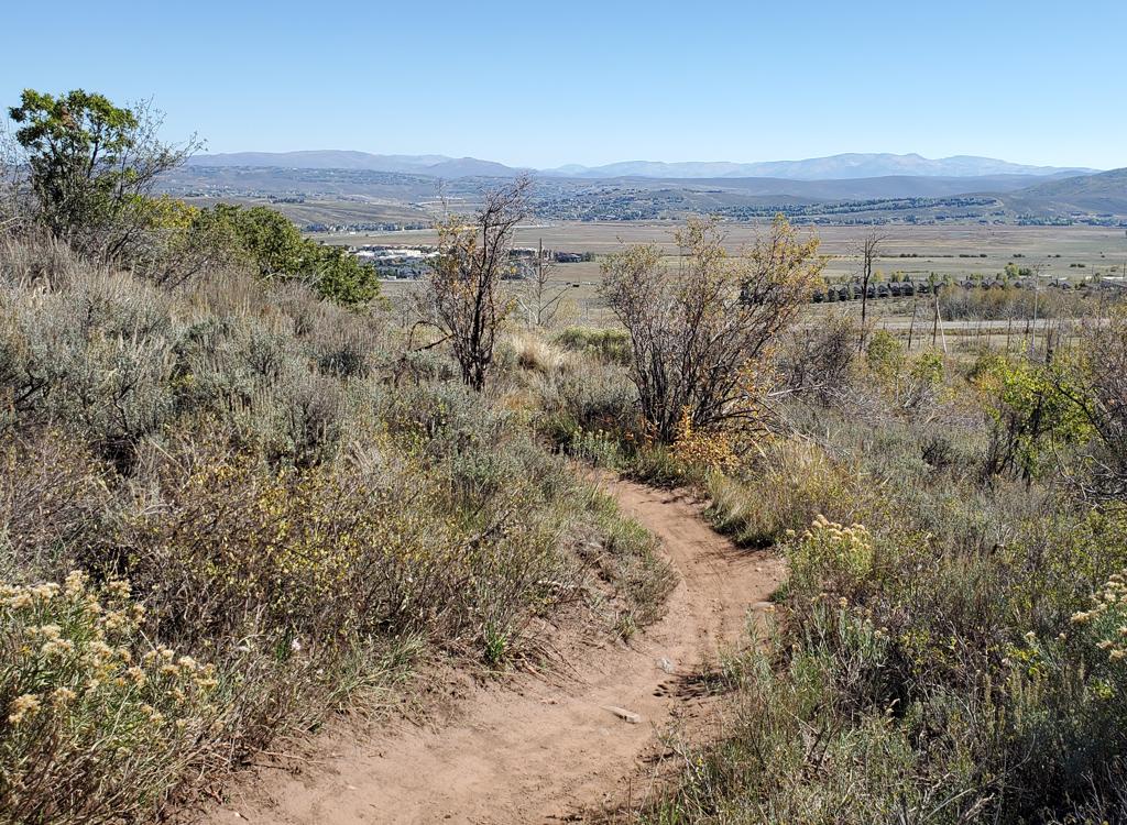
Getting further downhill, the trail becomes more sage and rabbitbrush with less forest.
At around 1/4 mile, the trail drops over a rock outcrop.
There are three routes down, becoming harder left to right.
The leftmost route curves around the rock using a dirt trench. It will
seem steep and slippery for beginners, but there's nothing tricky. The
middle route drops over a solid mass of rock. It should be do-able by a
solid confident intermediate. The route at the far right is singletrack
down a steep boulder field of tombstone rocks. It requires expert skill.
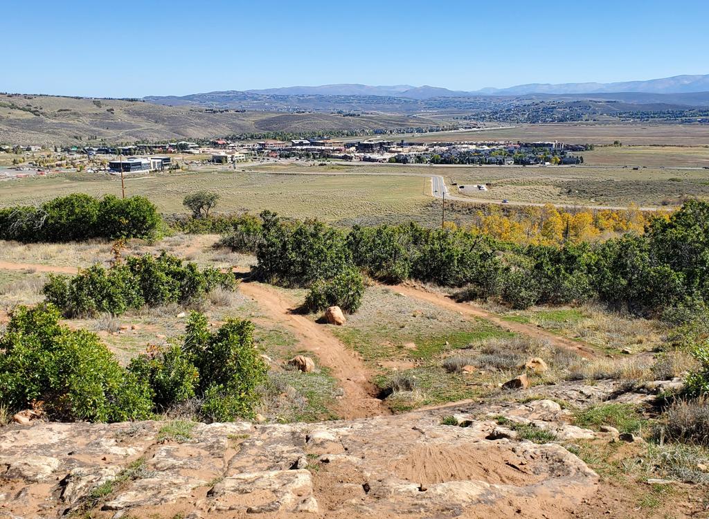
The drop over open rock on the middle path. Just roll on down.
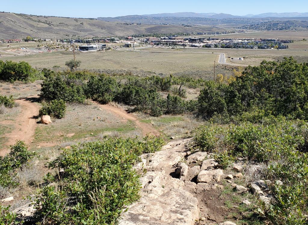
Although the photo looks benign, the rightmost path is downright bumpy.
The bottom of BYOB falls on the northern tip of RTS, just 50
feet west of the bottom of OMH. A left turn takes you on the lower side of
RTS back past the trailhead, while right is the shortest path back uphill.
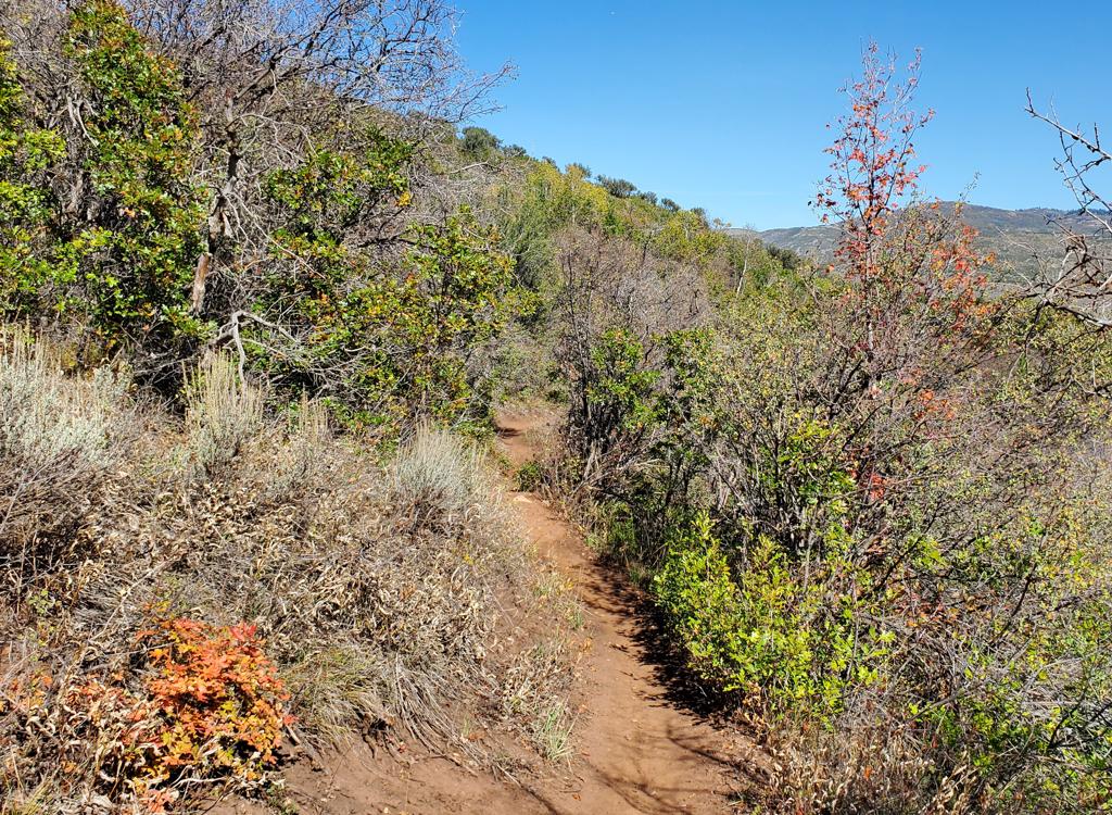
Almost to the bottom as BYOB rolls north along the slope.
When riding in the clockwise direction, Iron Bill is the first trail
you'll encounter, 0.5 miles from the trailhead. This is near the highest
elevation of the RTS loop. Shortly after the trail fork,
Iron Bill will cross the Olympic Parkway and begin climbing the ski-jump
hill. I recommend Iron Bill for upper-intermediate riders.
Note that in 2015 the trail was labeled "UOP" at the ends
and "Iron Bill" just about everywhere else. It now appears in
2026 that the main trail from RTS to Bear Hollow Drive is simply Iron
Bill. The trail on the northeastern side of the Legacy Loop (which forks
away from Iron Bill) is designated as the UOP trail.

At the trail fork where UOP (Iron Bill) forks away from RTS.

Log bridge on UOP. There's also a 100-foot section of narrow metal plates passing through what I presume was wet ground a month ago.
Although it starts out mellow, Iron Bill will become a more typical Park City trail, with sustained
climbing and a bit of embedded rock. The pitch isn't that tough, though,
and there are plenty
of recovery segments. On the way to the Legacy Loop, you'll climb about
500 vertical in 1.5
miles.
The turns here are fairly tight, but they have a good berm and roll nicely both uphill and
down. The terrain will vary depending on sun exposure -- there will be
a bit of cool fir and
aspen forest, alternating with bitterbrush and scrub oak. Typical for
Park City, you'll have
to grab your views through the occasional gaps in the trees.

Approaching a turn (heading downhill on the return trip), with Deer Valley in the distance.
Legacy Loop and Legacy Ridge

View to the east.
At the highest point of Iron Bill, the lariat Legacy Loop forks off uphill. (Meanwhile, Iron
Bill heads over to Bear Hollow Drive, about one-half mile uphill from
the Rob's Trail parking
lot. This is your route up to Midmountain.)
The Legacy trails consist of an uphill stem then a loop around the mountain (the Legacy Loop),
plus a trail that cuts across the loop by going up and over the top (the
Legacy Ridge trail).
The loop itself is short (0.7 miles) with no tough climbing. It's suitable
for experienced
beginners, but does have some bumpy rock on the southwestern side.
You can drive directly to the Legacy Loop. Two short trail spurs take you from the pavement
to the loop: one is found on Bear Hollow Drive opposite the Bobsled facility,
and the other
is in the parking area as you approach the top of the Slide. The most
obvious use for these
connections is a shuttled downhill run.

The north side of the Legacy Loop is cool aspen, chokecherry and fir forest. The south side is rockier, with oak brush, bitter brush, and sage.

Looking west into Bear Hollow. Rob's trail is near the bend in the road.
My sample ride hits Legacy Loop and Legacy Ridge as a loop-de-loop. At the far side of the
Legacy Loop on your first pass around the loop, climb up and over the
hilltop on Legacy Ridge.
Then you repeat the 1/4 mile of Legacy Loop trail between the south end
of Legacy Ridge and
its north end. This second time you go straight to complete the loop.
Note: the
UOP Bobsled Loop
has an entry on the other side of the bobsled facility (reached via a spur from the Legacy
Loop).
Now you head down the stem of the lollipop, or lariat or whatever, back to Iron Bill and retrace
your ride back to the lower parking lot. (Remembering to use the opposite
side of RTS so you
obey the clockwise-even/counterclockwise-odd direction recommendation.)
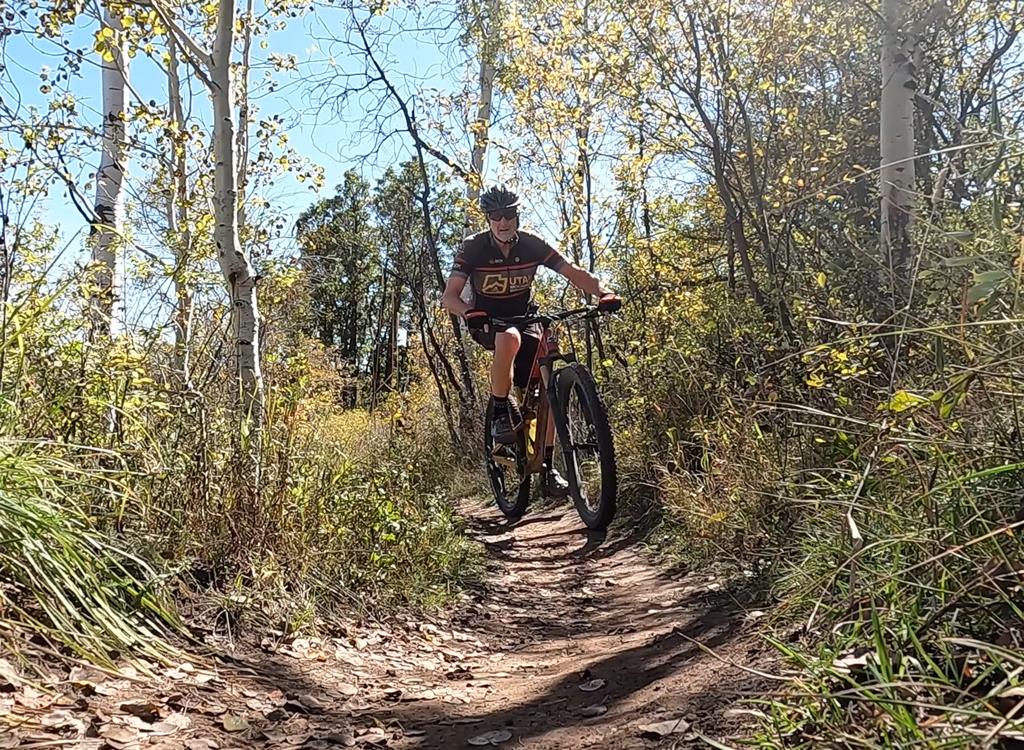
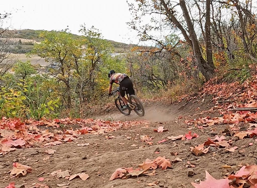
Cruising through fall colors.
The riding is OK but not stellar. Fun without too much work;
nothing epic. The main advantage to the area is how quickly you can be on
the trail once you pull off the freeway. Quick, smooth, non-threatening ride for beginners on the RTS loop. More
advanced riders may catch themselves riding laps for time.
The ride via Iron Bill to the
top of Legacy is short and fairly quick; advanced riders will find this
ride of interest when time is limited. Quick trip up Parley's; three
minutes off the freeway; 7.7 miles with 1200 feet of total climbing
hammered out.
BLT to OMH involves a bit more work and is a nice intermediate option
that's quickly done. BYOB is a fairly easy ride, with less climbing and
smoother trail.
Ride notes, 7.7-mile tour, odd-numbered
day:
0.0 Olympic Parkway TH, through fence
R (then stay L, ignore
smaller "cheat" route)
N40 42.970 W111 33.254
1.9 R uphill onto UOP N40 42.856 W111 33.446
2.0 Road; cross downhill to ST
2.5 Turn L (R = to slide unloading)
N40 42.685 W111 33.376
3.5 R uphill onto Legacy connector
N40 42.308 W111 33.433
3.8 R on Legacy Loop N40 42.398 W111 33.492
3.9 R to stay on Loop N40 42.450 W111 33.546
(L = return from Legacy
Ridge)
Pass foot trail to skills
area on L
4.0 Keep L (R = to parking
for slide)
N40 42.497 W111 33.596
4.2 Keep L (R = to Bobsled facility)
N40 42.374 W111 33.713
20 feet, then hard L
uphill Legacy Ridge
4.7 Keep L to join Legacy Loop again
N40 42.450 W111
33.546
4.9 Keep straight to unridden part of Loop
N40 42.369 W111 33.713
5.3 R downhill (exit loop) N40 42.398 W111 33.492
5.4 L on UOP (Iron Bill) N40 42.308 W111 33.433
7.0 Cross road again
7.1 RTS loop, go R (odd day) N40 42.856 W111 33.446
7.7 Back at parking.
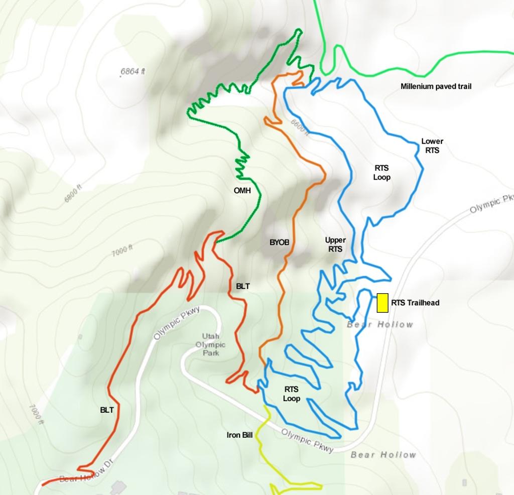
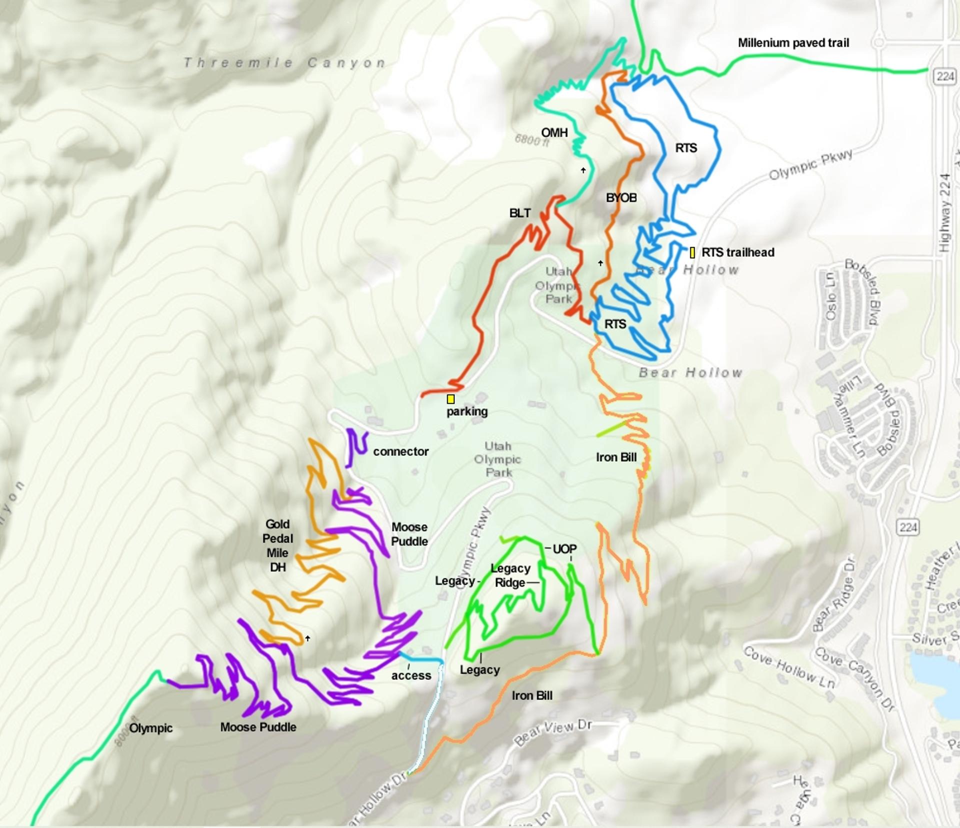
Map of the Olympic Park trail area
Getting there: From I-80, take the Park City Kimball Junction exit. Turn south toward
Park City. 0.4 miles from the freeway, turn right on the Olympic Parkway.
At the roundabout, go 3/4 around (effectively a left turn) to head south
on Olympic Parkway. The road will begin climbing. At one mile from I-80,
turn right into a gravel parking area. The RTS loop is just inside the
break in the fence.
Upper-mountain access: You can reach connectors to the Legacy Loop
from the top of the Utah Olympic Park area. Using either the Olympic
Parkway or Bear Hollow Drive, head up the mountain to the ridgeline. An
entry trail is found on the east side of the road opposite the Bobsled
facility, and on the south side of the road as you approach the Slide
loading area.
Bathroom at trailhead.