View north over the Salt Lake Valley from the Oak Vista trail. Photos June 4, 20...
View north over the Salt Lake Valley from the Oak Vista trail. Photos June 4, 2009 by Bruce.
Oak Vista to Eagle Crest Loop

The Oak Vista trail is a short trail that will eventually connect to Maple Hollow and the BST. For now, it ends on Traverse Ridge Drive. The loop ride described here descends to the (temporary) bottom of Oak Vista, climbs up Traverse Ridge Drive, then takes the Eagle Crest trail westbound on the south side of Traverse Mountain. The loop is 4.5 miles with 400 vertical feet of climbing. Top altitude is 6200 feet.

The Oak Vista trail is mostly shaded by maples and oak.
View east from high on the Oak Vista trail.
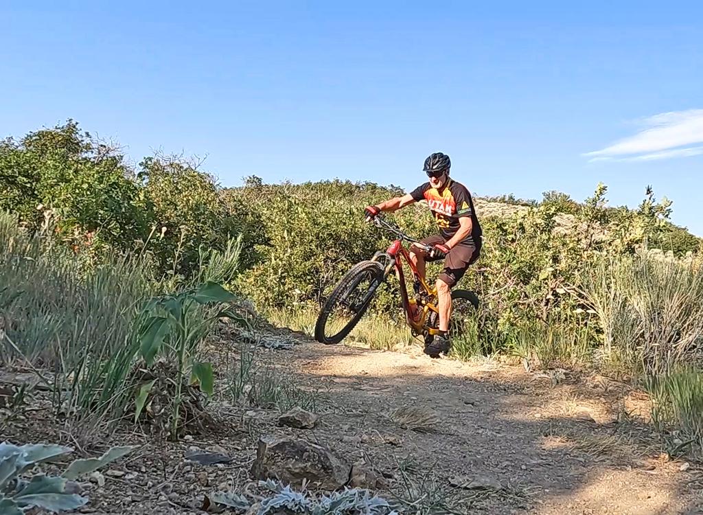
The Oak Vista trail rides pretty well either uphill or down. The grade is mild and steady, despite the location of the trail on a steep side-slope. There are several switchbacks. None are particularly tricky, but they're tight. Intermediate riders will have to dismount for the switchbacks both uphill and down. As of 2009, the undergrowth is beginning to move in a little on the trail, but there were no scratches or derailleur hangups.
View lower on the trai, as we approach Traverse Ridge Road.
The Oak Vista trail is good also for climbing. You can ride the loop either dire...
The Oak Vista trail is good also for climbing. You can ride the loop either direction. This is the view about 2 switchbacks from the top as we climb up.
For now, the trail ends on a wide flat area. Ride to the paved road, turn right, and begin climbing. You'll spend one mile total on pavement. At the stop sign, turn left and coast downhill 1/2 mile. Just before the road splits into divided highway, there's a singletrack climbing uphill on your right. This is the Eagle Crest trail. Take it.
The Eagle Crest trail follows the contour of the mountain. You'll cruise through replanted grassy areas. In the fall, these spots are actually harder to ride because you'll wind grass and weeds into your derailleur and cogs.

The grassy areas alternate with scrub forest, usually Utah oak but occasionally taller maple.

View south toward Utah Valley from the eastern end of the Eagle Crest trail.
View on the western end of the Eagle Crest trail.
At mile 3.3, you'll reach a trailhead. Go north up the road 100 feet, then fork left on continuing singletrack.

At mile 4.0, you'll reach a major trail fork. Go right and ride 1/3 mile to the road. (Left takes you to the Maple Hollow South trail. This gives you an option for a slightly longer ride. If you fork right (uphill) at the next trail fork, you'll reach the Maple Hollow trailhead. From here, you can take the road back to your car.) Either way, once you hit the road, go east back to parking.

Oak Visa to Eagle Crest, clockwise loop:
0.0   Start downhill from Long Branch TH
        N40 28.593 W111 50.643
0.8   R uphill on Traverse Ridge Road
        N40 28.861 W111 50.602
1.5   Stop sign, turn left on Suncrest Road
        N40 28.910 W111 50.099
2.1   R uphill on singletrack (Eagle Crest)
        N40 28.688 W111 49.408
2.4   Keep straight (L)
        N40 28.453 W111 49.537

3.3   Parking area, go up road 100 feet
        N40 28.326 W111 50.167
        Find ST on L
        N40 28.453 W111 49.537
3.4   Ride around small pond, L on DT
        N40 28.355 W111 50.243
        50 feet down, find ST on R
        N40 28.350 W111 50.260
4.0   Fork R  N40 28.395 W111 50.721
4.3   R on road N40 28.550 W111 50.842
4.5   Back at parking
Oak Vista
Oak Vista
Getting there, Long Branch (Oak Vista) trailhead:  From I-15 in Salt Lake City, take the Bluffdale exit and head east on Highland Drive toward the mountains. As you reach the traffic light at the top of the hill, about 3/4 mile after leaving the freeway, turn right on Traverse Ridge Road. Drive about two miles up to the top of the mountain. At the stop sign in Suncrest, turn right on Deer Ridge Drive and go 0.7 miles. Watch for a parking area on your right. The trail ducks through the oak on the north side. N40 28.593 W111 50.643
Riding Resources:
Single-page riding guide
GPS Files, incl. Draper trails (Right-click and "Save as..."):
    GPX
Large-format area topo map: View map
Lodging, camping, shops:  Links to southern SLC resources