
Mud Springs Trail System
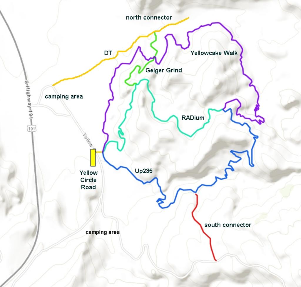
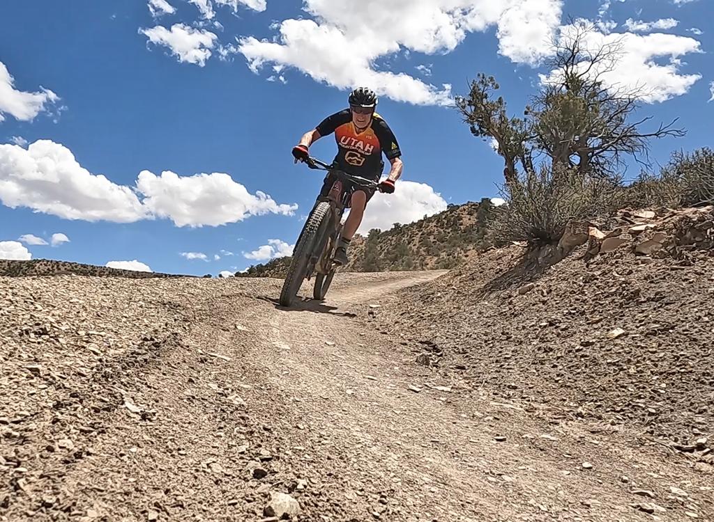
The Mud Springs system is a set of highly-engineered flow trails machine-excavated into clay soil. Mud Springs is located around 11 miles south of Moab in San Juan County. Except for the Geiger Grind connector trail, the system is all one-way. U235 is the single climbing route, with descending on RADium and Yellowcake Walk.
The Mud Springs trails are located in a Wildlife Management Area (WMA). They are CLOSED during winter and early spring. Trails close on December 1 and re-open April 15.
Photos, video, and review by Bruce on May 23, 2026.
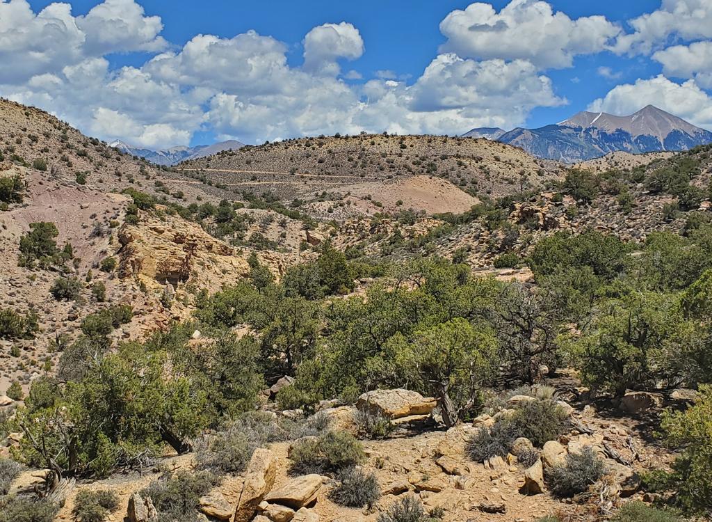
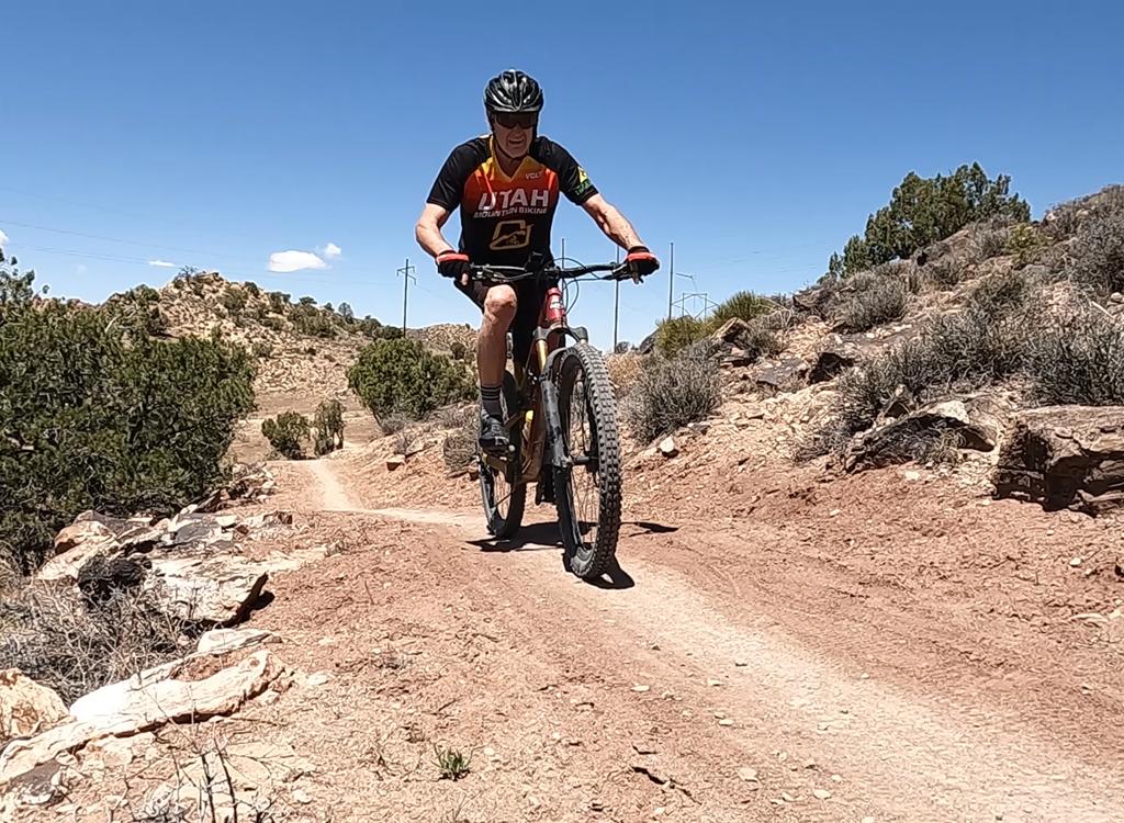
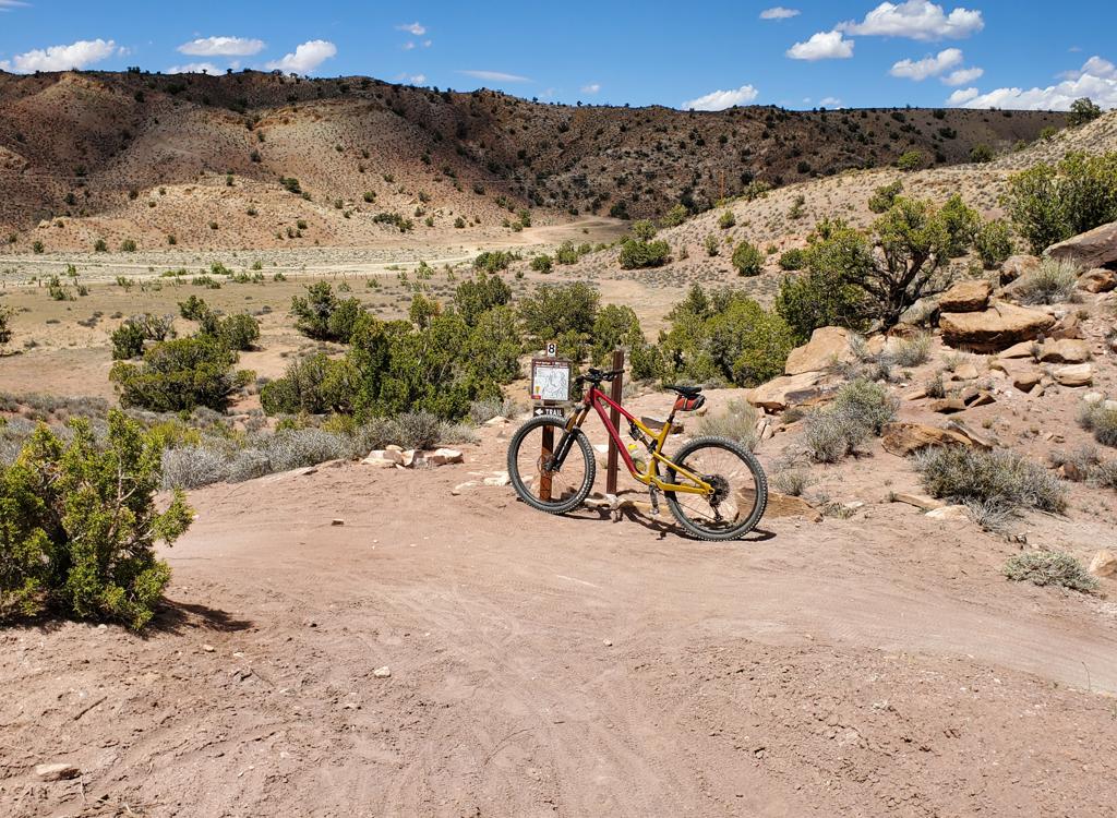
Like almost all Moab-area trails, the system is well-marked with signs. Riding lines are always obvious.
The most popular loop is the combination of U235 and Yellowcake Walk, which is 5 miles and 500 vertical feet of climbing. Most riders will do a second lap to descend RADium.
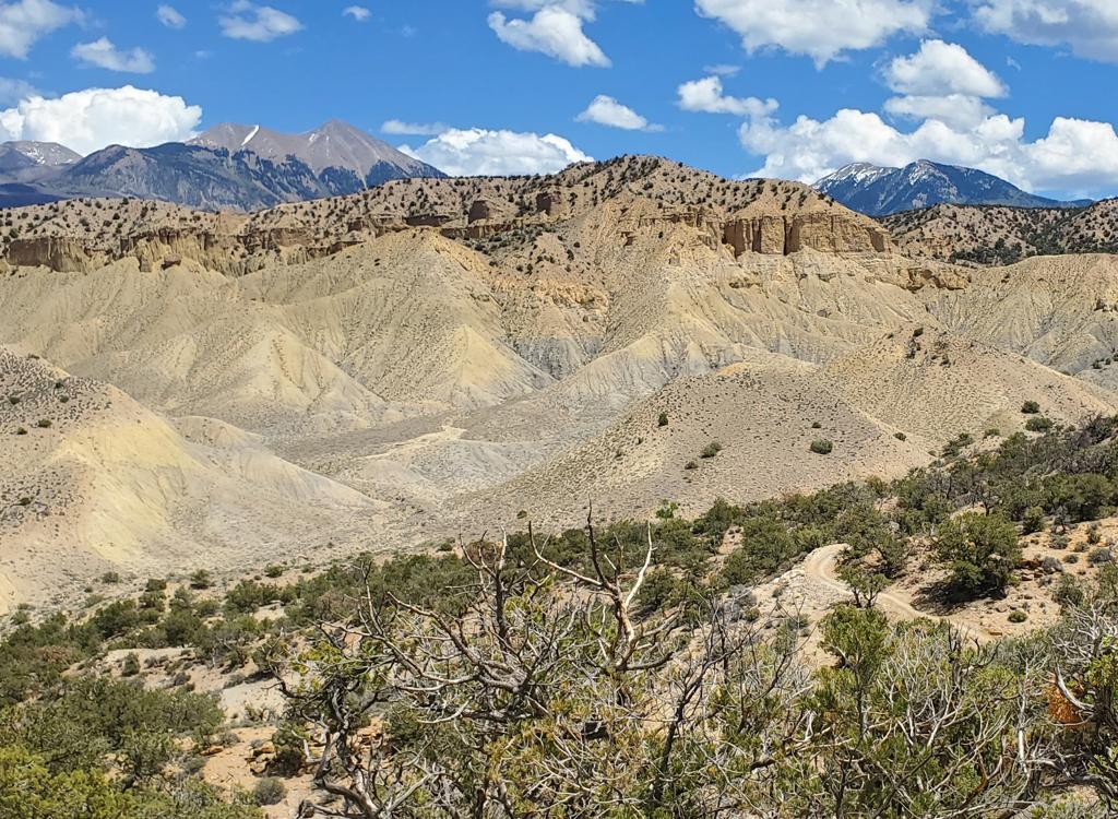
If you find yourself driving up the hill on Highway 191, you missed the trailhead road. Find a safe spot to turn around, then find your gravel road immediately after you get down off the hill.
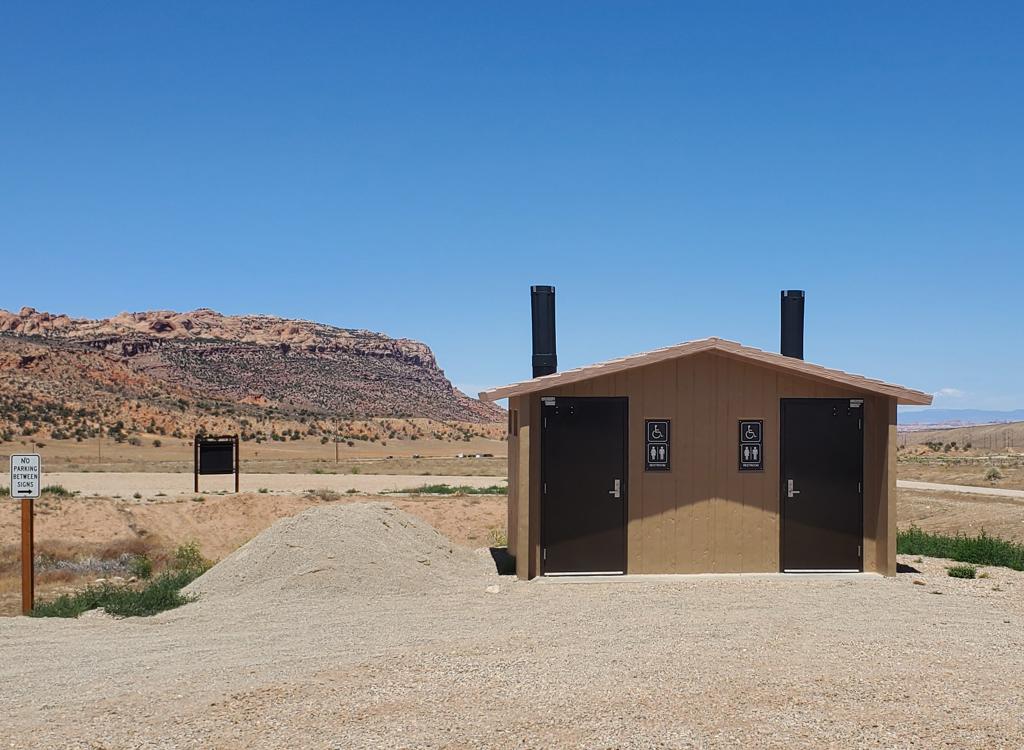
It's 0.4 miles from Highway 191 to the trailhead. The trailhead is one-way traffic, entering at the first opening. After you finish your ride, continue uphill to exit at the upper opening. The trailhead has a bathroom and space for around 30 vehicles.
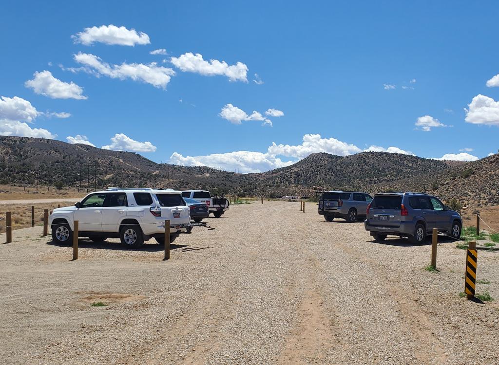
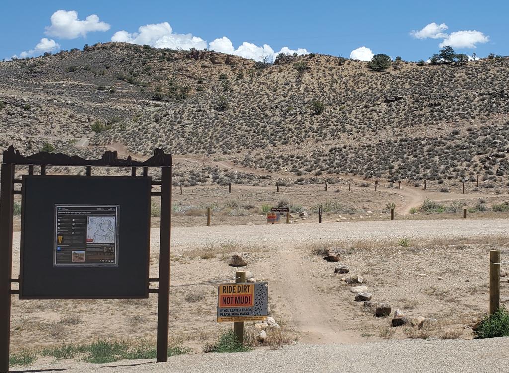
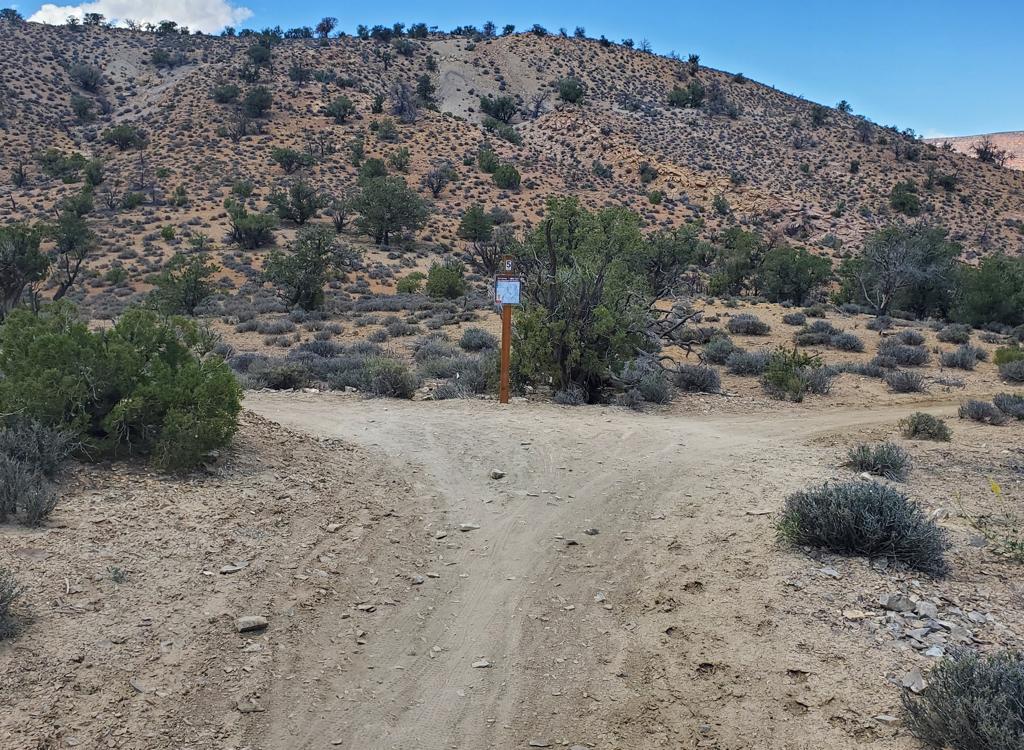
The entry to the trail system is near the downhill end of the parking strip, just south of the bathroom and vehicle entry. Head toward the hill to the east (a right turn from where you parked your car) and cross the Yellow Circle road. Pedal to the base of the hill, where the trail will split.
When you reach a trail fork -- just before a line of fence posts -- turn to the right on the one-way U235 climbing trail.
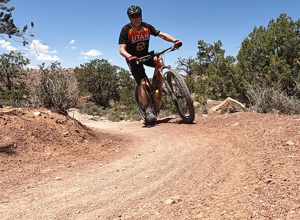
U235 is 2.2 miles long. You'll climb from 5350 feet elevation to 5750 over 1.7 miles before descending 0.4 miles to the trail fork with RADium and Yellowcake Walk.
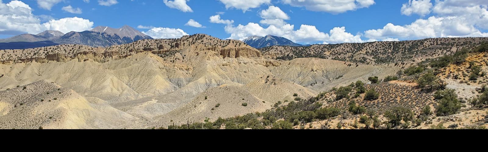
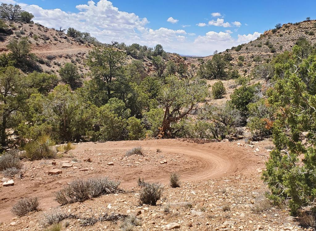
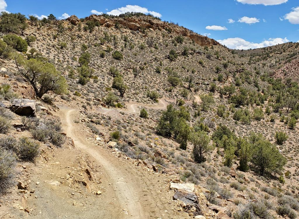
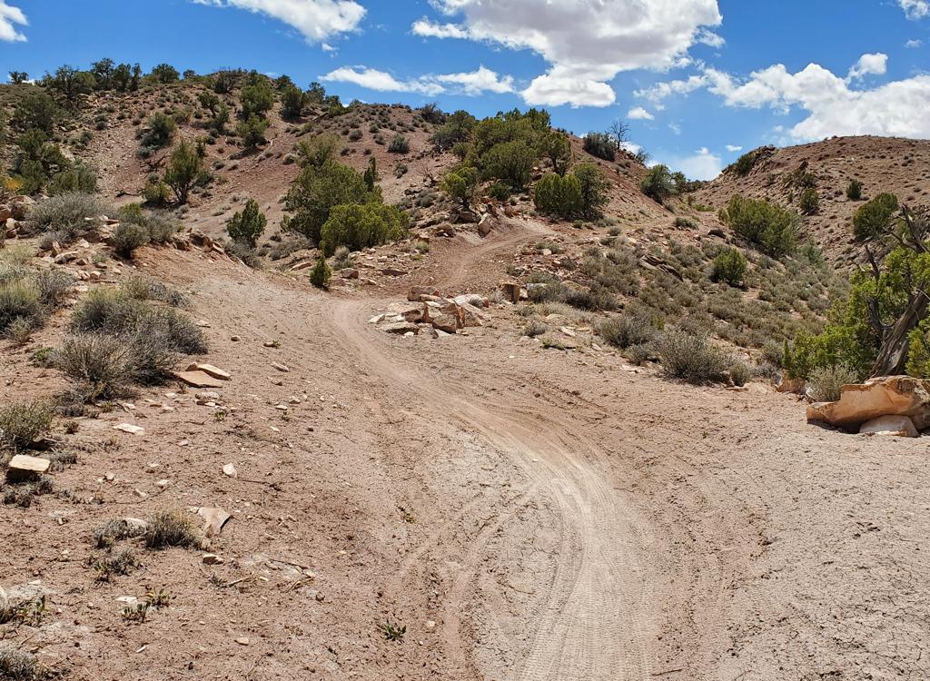
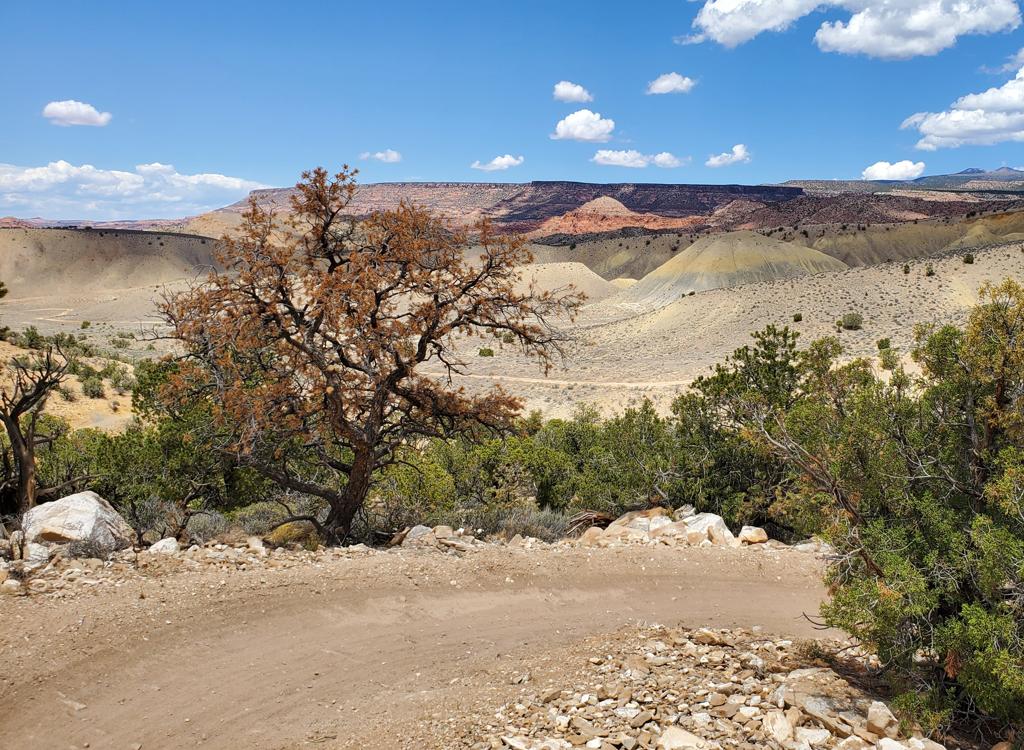
The terrain around you is mostly juniper forest with bare ground between trees. Occasional bitterbrush and sage are scattered through some of the open areas.
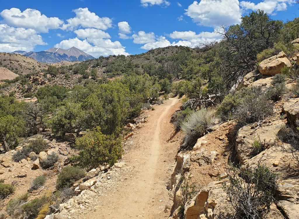
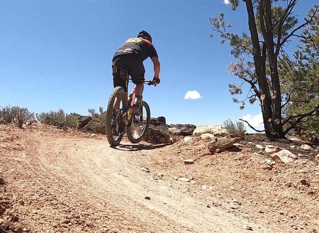
From the ridgeline, you'll descend 100 vertical feet over 0.4 miles before you reach the fork with RADium and Yellowcake Walk.
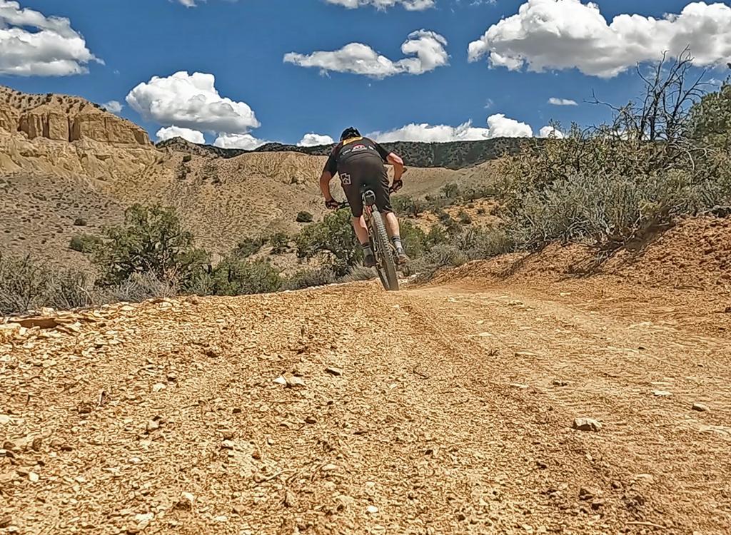
This is trail you ride for the joy of cruising. There are no jumps or tech challenges.
Like Yellowcake Walk, RADium is considered an easy ride and is suitable for less-skilled riders and bike trailers.
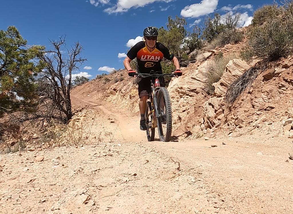
Like the other Mud Springs trails, RADium is machine-built with a very wide riding platform and highly-banked turns.
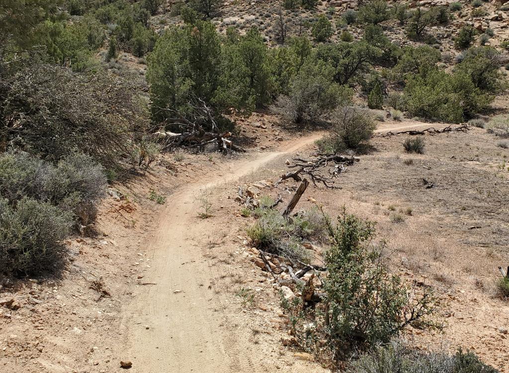

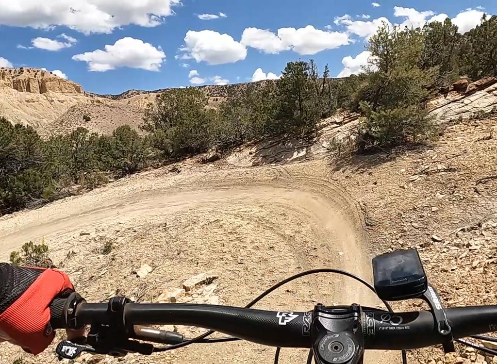
Yellowcake Walk is 2.7 miles in length. Because it starts and ends in the same place as RADium, it also has 320 vertical feet of elevation loss. But Yellowcake Walk has a couple of stretches of gentle climbing as it contours the north side of the hill, so your overall vertical will be greater with this option.
And remember, these trails are only open April 15 through November 30.