Weve reached the aspens at 7000 feet elevation. Photos and ride review by Bruce ...
We've reached the aspens at 7000 feet elevation. Photos and ride review by Bruce on July 10, 2018.
Maple Canyon

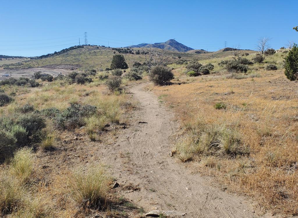
The Maple Canyon trail starts on the edge of Mapleton and climbs steadily uphill. Most riders do only the bottom 1.2 miles -- from the trailhead to Whiting Campground -- as a nice quick intermediate-level out-and-back. This page covers the full 6.1 miles of the Maple Canyon trail up to the junction with the Sawmill Hollow trail at 8050 feet elevation, although the upper portion of this trail will be of interest to only a scant few hardcore adventurous riders.

The trailhead is on the south side of the Maple Canyon Road, just 1/4 mile up the canyon from the homes of Mapleton. The starting elevation is 4800 feet. The trail climbs eastbound up Maple Canyon, signed as trail 006.

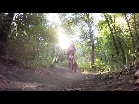
In this lower section of the trail, the climbing is frequently broken up by short gentle downhills as the trail twists around through the maple forest.

Getting started through the maple forest.
The ride is almost 100% in dense forest.
The trail is singletrack through a forest of maple. There's an occasional oak, pine, and fir. You won't see any views. In fact, you'll see very little of the sky, as the trail is covered by maples. Maple Canyon is quite cool compared to nearby areas at the same altitude.
At mile 1.2, you'll reach the parking for the group area of Whiting Campground. You've climbed 400 vertical feet. This is where most riders turn around. Many will continue another 1/2 mile uphill to the parking lot at the far end of the campground before turning back.

Very few will make the climb to the top. It's tough. But if you want to tackle it, here we go...

Typical trail -- lots of maples.
Passing behind the camp sites at mile 1.4 from the trailhead.
Upper Maple Canyon 006

As you hit pavement, turn left and cross the creek, then turn right uphill through a second gate. Immediately veer left on singletrack with a 006 carsonite post.

The trail passes behind the camp sites of Whiting CG as it continues east and uphill. At mile 1.6 from the trailhead, you'll again hit a paved parking area. The continuing trail is to your left uphill, at the end of the parking area.

At first, the trail is broad and the climbing rate is reasonable. But you're doing 3200 vertical feet, so every bit of mellow trail means steeper stuff coming up. The average slope for the upper 5 miles is 650 vertical feet per mile.
Trail view just uphill from the upper parking area.
Which is spookier for you? Riding the balance beam, or bouncing through the cree...
Which is spookier for you? Riding the balance beam, or bouncing through the creek bed.
Some stretches are nicely buff, but other sections are covered with loose rocks, stirred up by hikers and horses. If the loose stuff immediately bothers you as you ride away from the campground, well, you ain't seen nothin' yet.

The trail will cross the creek a few times. There are split-log bridges. If the water flow allows, you can simply splash through the creek.

Around mile three, the trail starts to get mean. The pitch of the trail increases, then increases some more -- there's one mile with 800 vertical feet of elevation change, which for most of us is push-a-bike time.

You'll spend a couple of long stretches riding straight up the creek bottom. Don't expect to do this trail until the run-off is complete and the water level drops, which would be mid-July most years.

This is the trail. Right up the middle of the creek. Ride what you can. Expect w...
This is the trail. Right up the middle of the creek. Ride what you can. Expect wet shoes.
A peak out over the next hill.
The trail hides under dense forest until you're almost to the top. Then you'll finally have a few views. My recommended turn-around is at mile 6.1, where the Maple Canyon trail ends at the junction of the Sawmill Hollow trail 013 with the Little Diamond trail 016. You're at 8050 feet. If you go further, you'll need to climb back uphill to get out.
The downhill is a lot of fun. Big wheels, fat tires, plush suspension, and a dropper seatpost will let you bang through the stretches that are creek instead of trail.

Bottom Line!
Nice for a quickie. Do the little out-and-back up to campground. It's fun riding and quite pretty. If you want to test yourself, go ahead and climb on uphill. But I doubt you'll want to do that big ride twice.

Bruce rolls his Rocky Mountain down the trail.

Quick up-and-back ride!

[Back to video list ]
Maple Canyon
Maple Canyon
Water: campground
Bathrooms: campground
Camping: Whiting campground in canyon
Getting there:
Take the 400 South Springville exit from I-15 and go east toward the mountains. At Main Street, turn south (right) on US-89. Keep right as Main Street splits into Highway 51 and US-89 (right lane). On US-89 in Mapleton, turn left on 1200 North. Drive to Main Street and turn south (right). At 400 North, turn left and drive to the mouth of the canyon. There's roadside parking at the end of 400 North at the winter gate to Maple Canyon Road. (This is where hikers park who are strolling uphill on the road. It also functions as overflow parking when the trailhead is full.) Continue up the road 1/4 mile, then turn left into the trailhead parking area. Note that the campground, and the 006 upper trailhead parking, are a fee area.
Riding resources for this trail:
GPS track files and route (right-click and "Save as..."):
    GPX track of 6.1 mile ride to top
Lodging, camping, shops:  Links to south Utah County resources