

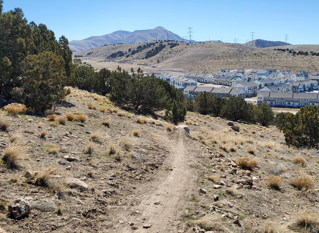
The northern end of Lambert Park -- north of Box Elder Drive -- has a different character than the rest of the park. It's a bit cooler here. The trees are bigger. In years with usual snow depth, these northern trails are snowed-under for January through March. And the snow stays a bit longer. North Lambert may not be ready to ride for 6 to 8 weeks after XC bikes are riding south of Box Elder.
The northern trails have two trailheads: the Rodeo grounds and the Bowery. You can also pedal across Box Elder Drive from the Middle or Spring trails -- which are discussed on the western Lambert trail page . See the map.


The four trails discussed on this page are Rodeo Up, Middle Spring, Spring, and Rodeo (upper and lower). The trails lie on Alpine City property and are maintained by volunteers. See the general Lambert Park page for additional information.

Length: 0.5 mi. One-way
Elevation change: 150 ft
Tech: intermediate
Uphill ONLY. Climbing route to the top of lower half of Rodeo.
Bottom end Box Elder paved road N 40 28.553 W 111 45.392
Upper end Rodeo Grounds trailhead
When combined with Middle Spring, Rodeo Up offers a climb to the top of Rodeo and Spring that is significantly tougher and more technical than climbing Spring.


Rodeo Up will cross the Rodeo Trail in a small clearing. When you see signs of a trail crossing ahead, look uphill before proceeding. Riders will be coming fast. Go straight across to re-enter the woods.
A few feet further along Rodeo Up, you can fork to the left to drop down lower Rodeo. If you keep straight, you'll climb to the Rodeo Grounds trailhead. (Do not fork left. This is the one-way of upper Rodeo.)


Length: 0.6 mi
Elevation change: 180 ft
Tech: Upper-intermediate to advanced
Serpentine narrow trail with tight turns and challenges.
Connects top of Rodeo Up to top of Spring near Rodeo Trail
Bottom end near top of Rodeo Up N 40 28.669 W 111 45.028
Upper end on Spring Trail N 40 28.648 W 111 44.768
Middle Spring winds back and forth across the slope, taking up as much distance as possible. As an uphill, it has a couple of difficult -- although short -- grunts. There are frequent breaks in the climbing where you'll coast a bit back downhill as you traverse.


A right turn takes you to a shallow ravine in a small clearing. Here a left turn continues on Spring, while straight ahead will drop you into the Rodeo trail.
After crossing an old doubletrack, the trail crosses Rodeo before ending on Rodeo Up. Make a right turn here, as Rodeo Up is one-way. 30 feet later, you can drop to the left to descend lower Rodeo, or go straight and uphill to the Rodeo Grounds parking.

Length: 2.0 mi
Elevation change: 350 ft south side, 150 feet north side
Tech: intermediate
South end Middle Trail N40 28.374 W111 45.432
connects Lambert Luge m 0.3
crosses Box Elder Dr m 0.5 N40 28.550 W111 45.319
Bowery trailhead m 0.6 N40 28.591 W111 45.214
Rodeo trail fork m 1.3 N40 28.617 W111 44.755
Middle Spring fork m 1.4 N40 28.652 W111 44.766
Rodeo grounds connector m 1.8 N40 28.766 W111 45.106
North end on Rodeo Up N40 28.680 W111 45.206
The Spring Trail is usually groomed in winter to provide a fat-bike route to the top of the Rodeo Trail.


Length: 0.1 mi.
Elevation change: 30 ft
Tech: easy
Short connector from Rodeo Grounds parking to northern limb of Spring.
Upper end on Spring N40 28.766 W111 45.106
Bottom end north side of Rodeo trailhead parking N40 28.721 W111 45.043


Length: 0.8 mi. One-way downhill!
Elevation change: 300 ft
Tech: intermediate DH trail
Short connector from Rodeo Grounds parking divides the
trail into upper Rodeo and lower Rodeo
Upper end on Spring N40 28.621 W111 44.759
Cross Middle Spring m 0.25 N40 28.669 W111 44.985
Parking connector m 0.3 N40 28.688 W111 45.024
Cross Rodeo Up m 0.5 N40 28.659 W111 45.185
Bottom end on Box Elder Drive N40 28.540 W111 45.393
The Rodeo Down trail is usually groomed in winter for fat bike riding.


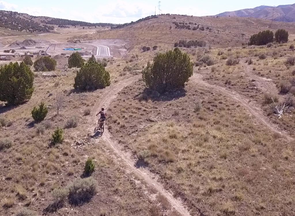
The first 1/3 mile of Rodeo drops through tall maple forest, winding back and forth across the creek. Shortly after the 5th bridge, you'll cross the Middle Spring trail, then quickly arrive at the top of lower Rodeo. At this spot, you can turn to the right for the Rodeo Grounds parking, keep straight into the ravine, or fork left to head for the bottom of Middle Spring for another climb. (You MUST fork left on Middle Spring from Rodeo Up. Beyond this spot, Rodeo Up is one-way.)
As Rodeo approaches Box Elder Drive, you can hook to the right on Rodeo Up for another go. (The broad trail to your left is a hiking-only loop trail.) Or, you can cross the road to Middle. On Middle about 100 feet from the road, a connector to your left takes you to the Spring Trail, where another left turn will take you across Box Elder again for the trip uphill on the Spring Trail.

0.0 Rodeo Up from Box Elder Drive
N40 28.548 W111 45.397
Fork L to Rodeo Up N40 28.565 W111 45.399
0.3 Spring joins on L N40 28.677 W111 45.205
0.35 Cross Rodeo N40 28.660 W111 45.185
0.5 R on Middle Spring N40 28.673 W111 45.029
0.55 Cross Rodeo N40 28.672 W111 44.988
1.1 R on Spring N40 28.647 W111 44.767
1.2 Straight to Rodeo N40 28.620 W111 44.758
1.4 Cross Middle Spring N40 28.672 W111 44.988
1.5 Straight to lower Rodeo N40 28.686 W111 45.024
1.6 Cross Rodeo Up N40 28.660 W111 45.185
1.9 Back at Box Elder

Take I-15 to the Alpine/Highland exit, just south of Point-of-the-Mountain. Drive straight east 5 miles towards the mountains, turning left at the stoplight in Highland (where you see the grocery store and gas station). Drive 2 miles north into Alpine to the 4-way stop at 200 North. Turn right. At the next stop sign, turn left. You'll be on 200 East, which becomes Grove Drive. Continue northeast on Grove for two miles. The road will turn 90 degrees to the right. Pass two streets on your left, then arrive at a T in the road. Turn right, across the river. At the fork in the road, go right for the Bowery parking area, left for the Rodeo grounds.
Rodeo grounds trailhead: Keep left at the fork and drive 0.25 mile on pavement, then turn right onto a dirt road and drive 0.25 mile. The trailhead is on the right side of the road, where you'll see a parking strip and a bathroom just before the rodeo arena. (Toilet.)
Bowery trailhead: Keep right at the fork as you cross the river on the paved road. Pass the High Bench dirt road on your right. About 300 feet further up the paved road, keep straight as the main road turns right, entering a smaller road. 500 feet up the dirt road,, the Bowery pavilion is on the left, with a parking lot on the right. (Toilet, pavilion, water.)
South (aka High Bench or "church") trailhead: About 1.5 miles up Grove Drive (as above), turn right on Alpine Boulevard. Go 1/2 mile until the road turns from east to south in front of a big church. After you pass the church, fork left toward the mountains. Immediately after the church's back fence turn left onto a narrow paved road and proceed to the trailhead. (Toilet, shaded picnic, water.)
Moyle Drive: On Alpine Blvd, turn left onto Moyle and drive to the end. The High Bench trail crosses the road just east of parking. The trail that crosses the parking area is a hiking trail (Judy's).
Bald Mountain Drive: Turn onto 100 South in Alpine. Drive east until you're forced to turn at Country Manor Lane. Go left. At 300 North, turn right, then take the next left on Bald Mountain Drive. Go to the end of the road and park.
Map in new window: Topo map
Other Lambert Park pages...
Lambert Park overview
West Trails
South Trails
GPS track files (right-click a file and select "save as...")
Loop ride Rodeo Up, Middle Spring, Rodeo
Multi-track area file
Lodging, camping, shops: Links to northern county resources


