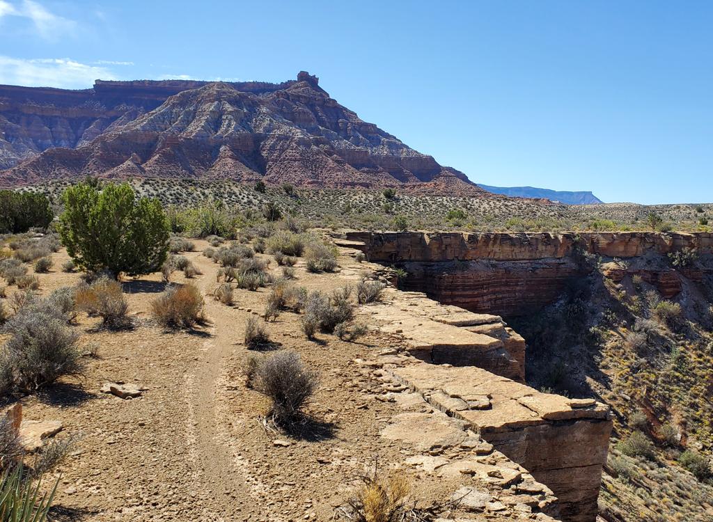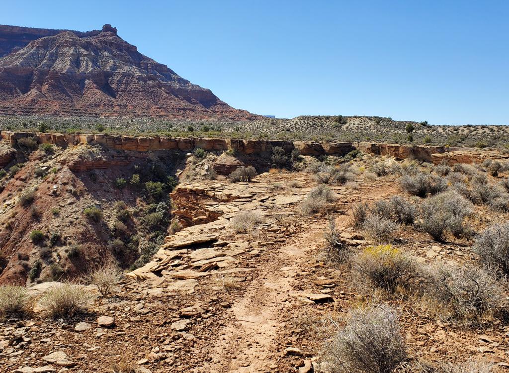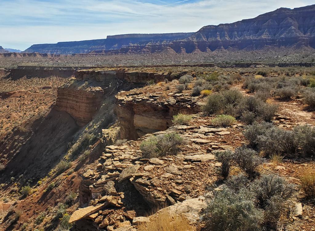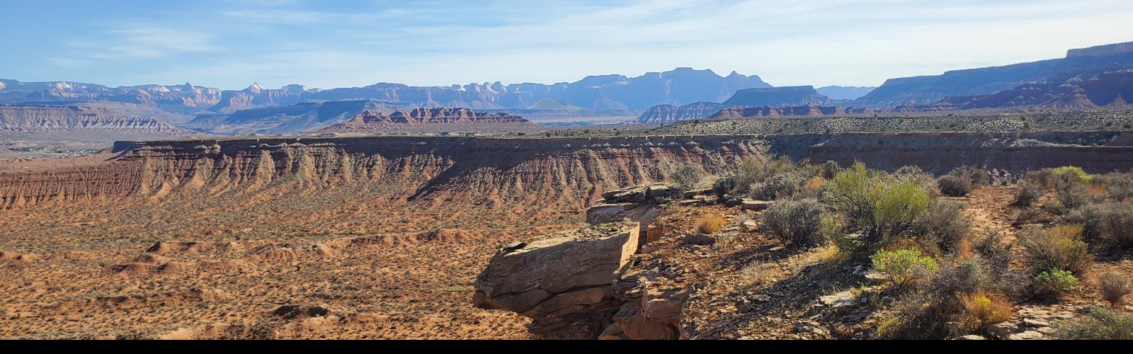
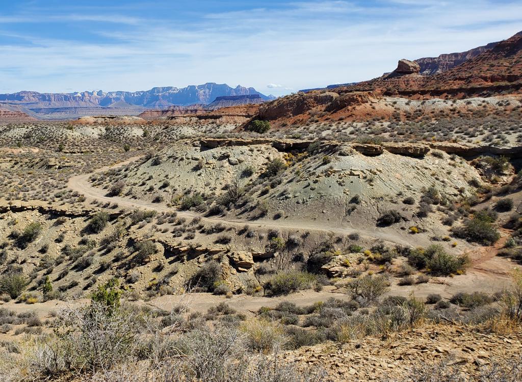
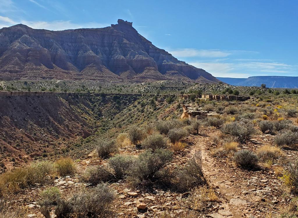
View to the northeast on the JEM DT. The slopes of Gooseberry Mesa are on the       right, with Zion National Park in the distance.
View to the northeast on the JEM DT. The slopes of Gooseberry Mesa are on the right, with Zion National Park in the distance.
JEM Upper Doubletrack
with Box Car and Steak Knife

The JEM Doubletrack (JEM DT) is a dirt road along the northern skirts of Gooseberry Mesa. It begins at the upper JEM trailhead. In the past this dirt road was the uphill part of the old classic JEM loop ride. Now it connects you from the trailhead to the singletrack alternate paths Box Car and Steak Knife before it delivers you to eastern Goosebumps.

The doubletrack is now closed to public vehicle traffic.

Original photos and review of the JEM DT route by Bruce in 2002, updated in 2015. Box Car and Steak Knife added September 24, 2026.

Box Car and Steak Knife are singletrack rides that hug the cliff edges of the mesa. They can only be reached via the JEM DT. These highly scenic trails can be your destination ride, or you can hit them on your way down to Goosebumps on a longer ride.

These rides are quite easy, but do involve riding near cliffs. The views -- almost constant -- are the big draw.
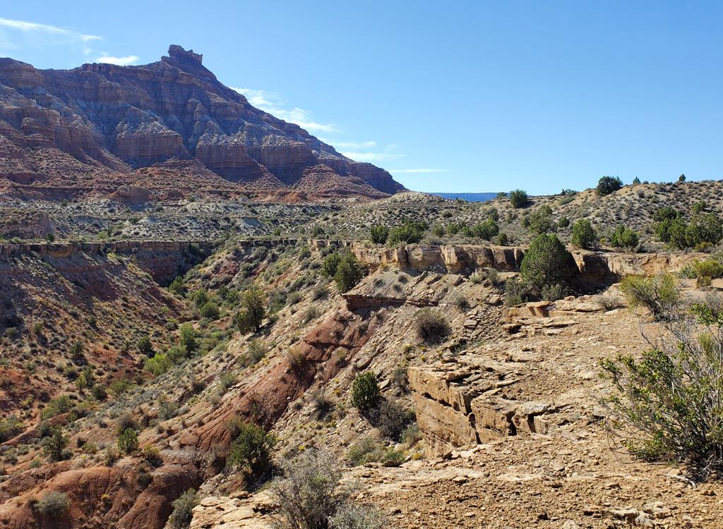
Looking south on Box Car as we head toward Gooseberry       Mesa.
Looking south on Box Car as we head toward Gooseberry Mesa.
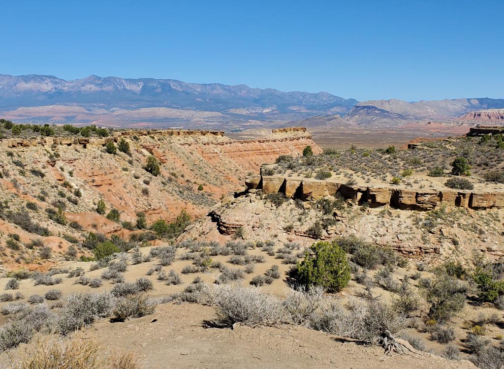
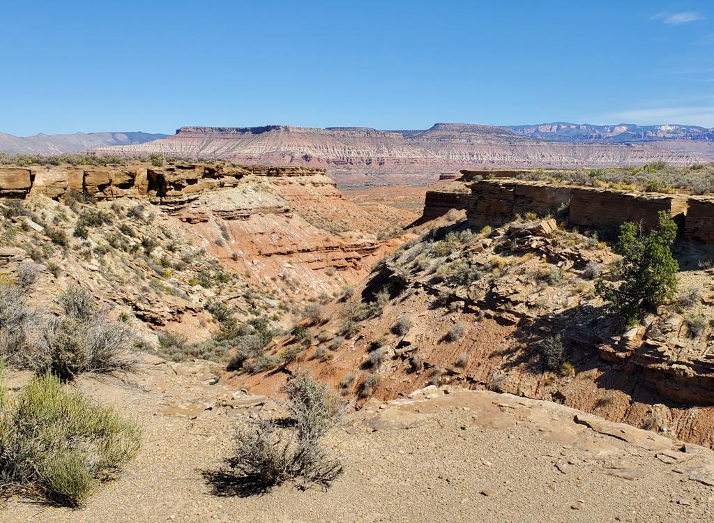
Looking north from a viewpoint on the JEM DT.

The JEM Doubletrack follows a zone of gently sloping clay, midway between the steep slopes of Gooseberry Mesa to the south and limestone cliff edges that drop down to the lower levels of the Hurricane Cliffs riding area to the north.

Because upper JEM is now downhill-only, the DT is again being used as a climbing route. It's also found new life as a downhill for a loop route that combines Goosebumps and upper Dead Ringer (with a side tour of More Cowbell.) And with the creation of Box Car and Steak Knife in 2026, there's going to be more riders and hikers on the JEM DT.

Box Car and Steak Knife offer almost-constant views from the ledges on the edges of the lower mesa. These trails are experienced beginner to easier-intermediate in tech requirement. (If you're riding along the edge of a cliff, you don't want to be bobbling all over the place.) In terms of effort they're an easy cruise.

Box Car is 2.1 miles in length, found on downhill (left) side of the doubletrack 0.7 miles from the trailhead. Steak Knife begins 0.2 miles after Box Car ends, also on the left side of the doubletrack. It's slightly shorter at 2.0 miles.
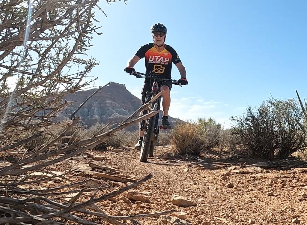
Easy cruising!
Easy cruising!
Trailhead and access
Looking northeast in the upper JEM       Highway 59 trailhead.
Looking northeast in the upper JEM Highway 59 trailhead.
Highway 9 Upper JEM trailhead

In Hurricane, turn south on US-59 (towards the Grand Canyon). Drive exactly 5 miles uphill. Turn left on cindered doubletrack right as you approach the base of Gooseberry Mesa. Drive another 0.3 miles to the parking area. Cross the cattle guard at the gate, then immediately turn right on singletrack. When you cross the cattleguard, just keep straight on the broad doubletrack.

An alternative route is to take the JEM trail for the first 0.4 miles as a more-interesting alternative to the doubletrack. (JEM is found next to the fence on the uphill side as you go through the gate.) This section of JEM is one-way only, so you can't do it on the way back.

Looking southeast as Cryptobionic approaches the Sheep Bridge Road and the trailhead.
Sheep Bridge trailhead

This trailhead with bathroom and bike stand is found half-way along the gravel Sheep Bridge Road, which connects US-9 to US-59. Drive toward the upper JEM trailhead on Highway 59 as above. But at mile 3.3 (while still on the flat area), turn left on gravel Sheep Bridge road. Drive 2.9 miles on Sheep Bridge road to a fenced parking area with a bathroom. Cryptobionic and northern Dead Ringer can also be found here. To get to the JEM DT, keep to the left on lower Goosebumps and follow it southeast. It will cross a dirt road at the base of the lower mesa. That's the DT. Turn left and climb through a shallow canyon until you're above the lower cliff-line.

JEM Doubletrack
The doubletrack is a nice route for beginners and is compatible with tow-trailers. I recommend that true beginners and out-of-shapers go only to the viewpoint spur (the blue side-trip on the map below), for a two-mile round trip. This first portion of the DT is virtually flat and super easy. The trail follows an erosion-resistant layer of Virgin Limestone that forms a platform.
Looking up at Gooseberry. The crown is Shinarump Conglomerate of the Chinle Form...
Looking up at Gooseberry. The crown is Shinarump Conglomerate of the Chinle Formation, then Moenkopi Upper Red Member, then Shnabkaib (gray). We're riding on the Middle Red Member of the Moenkopi Formation. The test will be on Tuesday. Bring a #2 pencil.
View northeast toward Zion. The yellow-gray ledge is the Virgin Limestone, a har...
View northeast toward Zion. The yellow-gray ledge is the Virgin Limestone, a harder layer that creates a bit of platform for the DT.
The DT traverses the skirts of the mesa on a flat clay slope just above limestone ledges. The first mile and a half are flat, then there's a little bit of up-and-down.

In the east you'll see the sandstone cliffs of Zion National Park. The monoliths are Navajo Sandstone from the Jurassic Period.

On your right, the Moenkopi slopes of Gooseberry Mesa rise above you. The red clays are interrupted by the grays of the Shnabkaib member. At the apex is a bit of Shinarump Conglomerate, the bottom layer of the Chinle formation.

To the left the escarpment breaks to a broad valley, with the granite Pine Valley Mountains in the background.

Were seeing a bit of the Pine Valley Mountains on the left here, as the DT follo...
We're seeing a bit of the Pine Valley Mountains on the left here, as the DT follows hill contour above the ledges.
Looking west as we pass the head of a deep wash.
At mile 2.7 from the trailhead, the road forks. Take the left (downhill) option. You'll drop down into a wash and head toward the bottom of the mesa skirts.

At mile 3.2, the dirt road pulls leftward and out of the wash. At the crest of this little hill, Goosebumps crosses.

Your options here are:
(1) Straight on DT, which takes you down to Sheep Bridge Road. From here you can go left to Highway 59 or (1/3 mile before reaching 59) to catch JEM to Dead Ringer for the uphill climb to the TH.
(2) Left on Goosebumps for a very nice loop ride, using the uphill third of Dead Ringer for the final climb. This option is for riders with at least intermediate skills.
(3) Right on the Goosebumps downhill to Cryptobionic or Sheep Bridge Road.
Weve descended below the limestone layer and are about to hit the valley. The Lo...
We've descended below the limestone layer and are about to hit the valley. The Lower Red Member of the Moenkopi Formation forms the mudstone and clay cliff on the right.
We've made the left turn onto the Goosebumps singletrack.
If you arrived here with a bike trailer, you need to follow option 1 above. Goosebumps is absolutely NOT compatible with a tow trailer.

Older children should be able to manage the right turn onto lower Goosebumps down to Sheep Bridge Road. If in doubt, stay on the dirt road.
Box Car
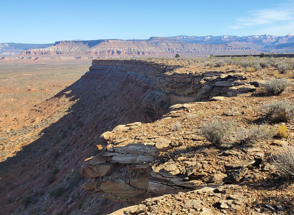
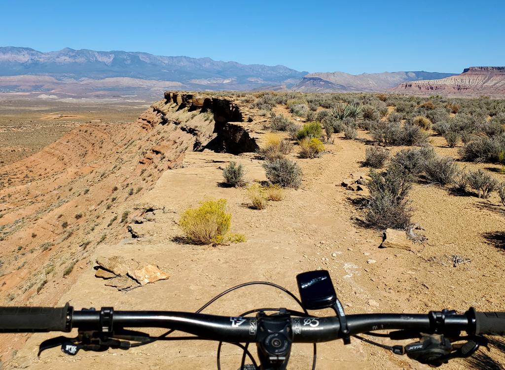
Looking toward Gooseberry Mesa as the trail follows       the cliff edges.
Looking toward Gooseberry Mesa as the trail follows the cliff edges.
Box Car is 2.1 miles of singletrack, descending north from the JEM DT to a large "shelf" of the mesa. There's around 80 feet of overall descending on Box Car, and almost all of it is within the first 1/10th mile after leaving the doubletrack -- whichever direction you ride it. And you'll need to regain that elevation as you complete the trail.

If you decide to ride laps around the trail, you'll add 0.7 miles of doubletrack between the ends of Box Car, for a ride of 2.8 miles. The DT does some up-and-down riding, so it's not as easy as you'd think. The loop will require just under 200 feet of climbing.

The first entry to Box Car is 0.7 miles from the upper JEM trailhead. This will put you on a clockwise ride. As you head east on the DT, you'll pass the first viewpoint spur (to your left at mile 0.6) and descend slightly. When the doubletrack begins curving left as you're climbing away from the wash, the singletrack will be on your left.

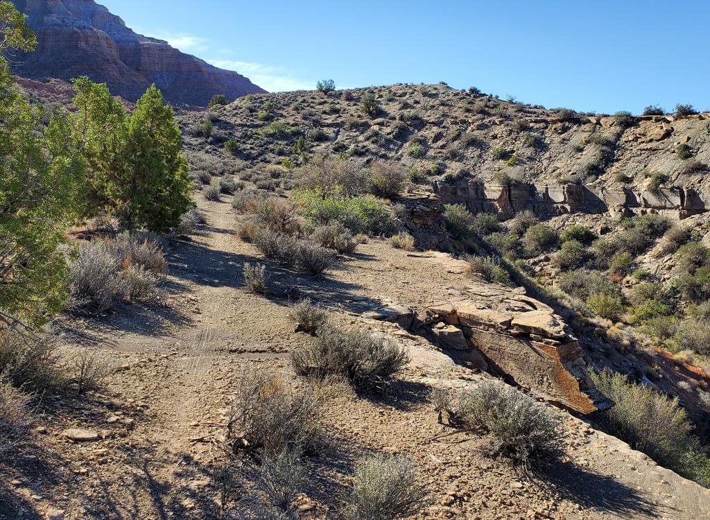
There are no trail signs in 2026, and the trail is not obvious. In fact, after a rain has erased tire tracks, it's almost invisible. You simply must know where it lies. Memorize the curve and the low bluff in the photo and you're good!
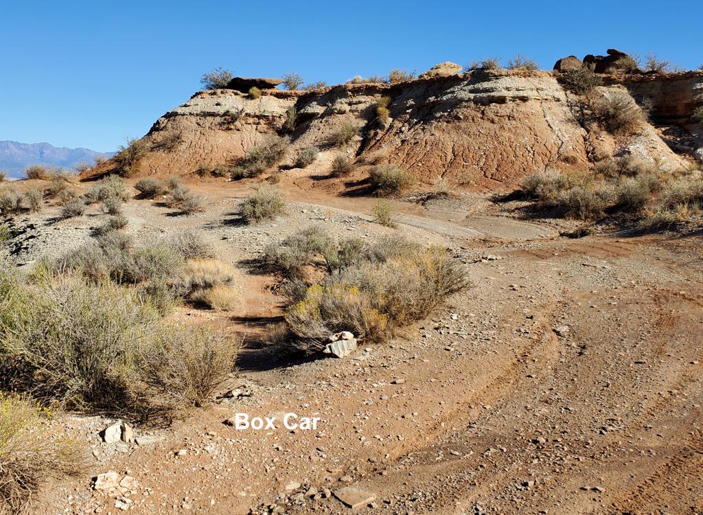
Here's the spot you're looking for!
Heading northwest along the limestone caprock.
Box Car is two-way. But for a first trip I think most bikers would prefer clockwise, west to east, for Box Car then Steak Knife.

In the clockwise direction, Box Car starts with a gentle descent through rolling clay soil. The terrain here is sage and ephedra with an occasional juniper. You'll descend this not-interesting slope for around 0.2 miles before you settle onto relatively flat trail along the cliff edges.

As you reach the rocky cliffs, look to your left and spot the JEM trail descending into the wash. Doesn't seem like it should be that close!
Surprise! That's the "plunge" portion of       JEM across the wash.
Surprise! That's the "plunge" portion of JEM across the wash.
The       trail usually keeps around 8 to 10 feet from the edge.
The trail usually keeps around 8 to 10 feet from the edge.
There will now be over a mile and a half of cliff-side riding. The clay surface becomes broken pebbles and rock slab. There's enough clearance between trail and cliff edge for confidence.

The trail is surrounded by brittle sage, yucca, and brigham tea. Again, there are occasional junipers and gooseberry.

The trail rolls to the first viewpoint at mile 0.7 from the doubletrack. Here the trail turns from northbound to eastbound. A second sharper viewpoint is at mile 1.1.

At this second viewpoint, the trail will turn back to the southeast, following the edge of a deep wash for 1/2 mile. It will then reverse and head north to the 3rd viewpoint at mile 1.7.
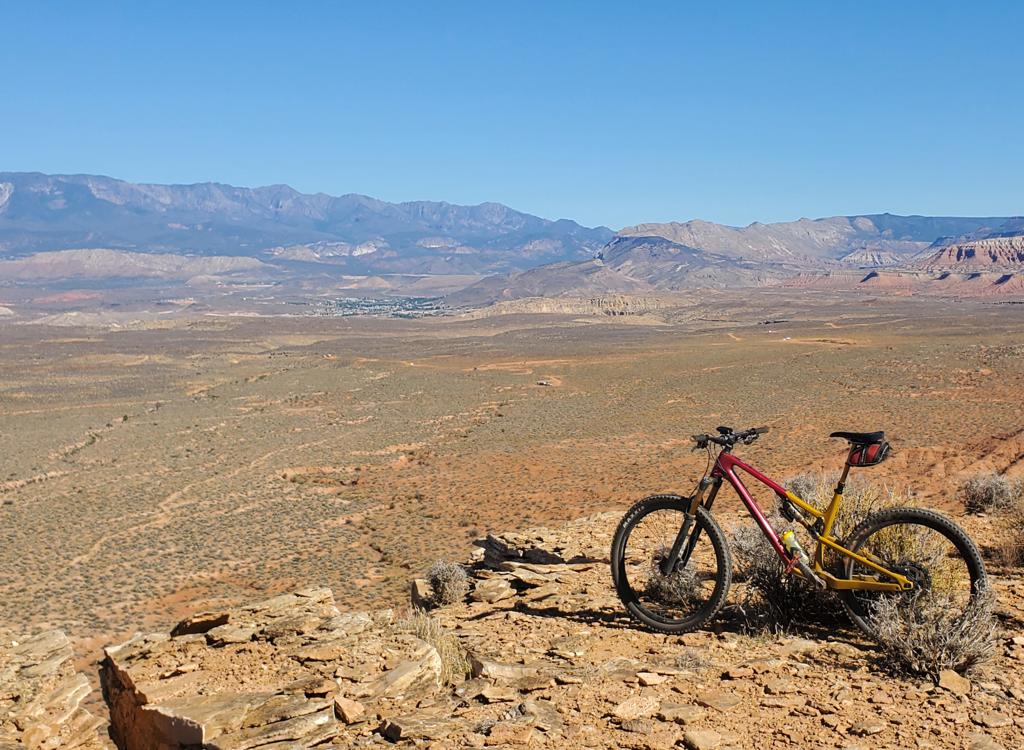
Looking       toward the Pine Valley Mountains.
Looking toward the Pine Valley Mountains.
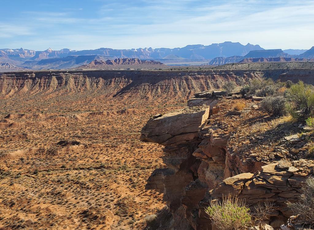
Looking east toward Zion.
The final turn away from the valley is at a sharp viewpoint at mile 1.8, where there's an impressive view of the eroded fin of sandstone to the north.

Now you'll follow the rock cliffs of the eastern edge of the mesa on the return toward the end of Box Car on the doubletrack.

At mile 2.0, with 1/10th mile to go, you'll pass the head of the wash and climb a switchback to the upper level. The climb has a fair slope that will challenge beginners. The surface of the climb was solid for my ride, but I'm sure the climb is harder if the trail has turned to powder.

As you reach the doubletrack -- again, there are no signs yet -- turn to the left to continue the ride. You've skipped 0.7 miles of the JEM DT while you were on the singletrack. You also skipped the second viewpoint spur, in case you were planning to hit it.

The next singletrack, Steak Knife, is 0.2 miles east on the JEM DT.
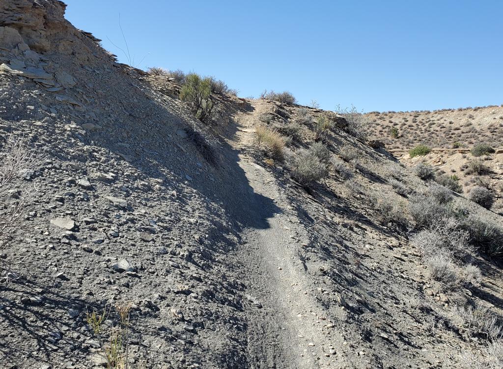
Here's the final push of the climb back up to the       doubletrack.
Here's the final push of the climb back up to the doubletrack.
Steak Knife
Cliffside riding with Gooseberry as a backdrop.
Steak Knife lies on the mesa just east of Box Car. It's slightly shorter at 2.0 miles. At the western end there's a drop (or climb) as you leave the higher clay level where the doubletrack lies.

Steak Knife is a two-way trail, but most riders will do it clockwise as a continuation of a ride from the upper JEM trailhead. If you came directly from the trailhead, it's at mile 1.6 of the doubletrack. If you rode around Box Car on the way, your mileage will be 3.0 as you reach the entry to Steak Knife.

The western end of Steak Knife is 0.2 miles from the eastern end of Box Car. It's on your left at a spot where the DT is curving gently to the right to climb over a small ugly gray-clay hill.

In 2026, there's no trail marker. Not even a pile of rocks. You'll need to watch closely. (The eastern end is even more obscure. It's 0.4 miles further along the JEM DT, in a flattish area before the DT veers to the right to descend through a wash. I rode three days after a rain, and the trail there was invisible.)

Most riders should choose to ride Steak Knife in the clockwise direction, starting from the western end.

Here's the almost-invisible western entry to Steak Knife. Believe it or not, the eastern entry is even harder to spot!
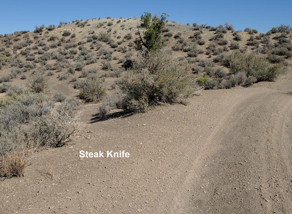
Entry to Steak Knife from the DT.
Curving around a canyon.
After leaving the doubletrack, there's a short drop down from the clays on the shoulder of Gooseberry Mesa. After a bit over 1/10th of a mile, you'll find yourself along the cliff edge heading north.
Like Box Car, the terrain on Steak Knife features brittle sage, ephedra (brigham tea), yucca, gooseberry, and occasional juniper.

The first viewpoint is at mile 0.6 from the DT. The trail surface here is mostly dirt and pebbles, with some rock slab.
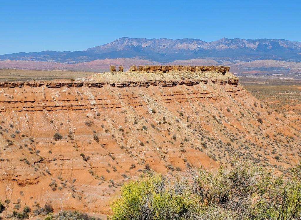
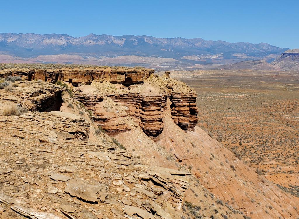
This butte is a projection from Box Car.
Cruising toward the Pine Valley mountains on the mesa       edge.
Cruising toward the Pine Valley mountains on the mesa edge.
As you curve around the head of a wash at mile 0.7, the trail crosses 100 yards of a clay slope that descends directly to the cliff edge around 8 feet away. I was riding a few days after a very heavy rain that had essentially erased the trail. While I had no trouble holding a line and staying away from the cliff, keep this in mind if you plan to ride Steak Knife with kids.
At mile 1.0, Steak Knife reaches its northernmost point and reverses back toward the DT. This section of the trail is visually striking, as the trail skirts the cliffs and approaches Gooseberry.
Heading back toward the doubletrack!
The trail winds around a bit but rarely strays far       from the cliffs.
The trail winds around a bit but rarely strays far from the cliffs.
At mile 2.0 of Steak Knife, you're back at the JEM DT. You've skipped 0.4 miles of the DT and you're at mile 5.0 of the ride if you also cruised around Box Car.

Because the eastern end of Steak Knife is 50 feet lower than the upper, there's no climb during the final portion of Steak Knife. Unless, of course, you decided to ride it east to west. Then there's a short but tough climb.
If you return to the upper JEM trailhead now, your ride will be 7.0 miles with 400 feet of climbing. If you decide to backtrack through the singletracks of Steak Knife then Box Car, it's 3 miles longer, but way more fun. And in many ways, it's easier. There's will be a fair amount of granny-gear climbing on the doubletrack on those portions you skipped when you were riding the mesa edges.
Looking back to the northwest.

Box Car and Steak Knife

[Back to video list ]
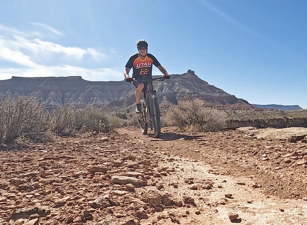
Bruce cruises along the mesa edge.
Bottom Line!

The singletrack trails put this upper doubletrack in competition for your riding time! The riding is easy and the views are awesome.

For intermediate to advanced riders, I'd suggest you hit the mesa singletracks, then drop down to Goosebumps for the westbound ride to Dead Ringer and a climb back to the trailhead. Add a lap around More Cowbell if you like!

JEM DT - Goosebumps Loop ride notes:
0.0   Cross cattle extruder, straight on DT
        N37 08.348 W113 14.522
1.0   Viewpoint spur out-and-back on L
        N37 09.085 W113 14.457
2.7    Left downhill N37 09.537 W113 13.422
3.2    Left on Goosebumps ST
         N37 09.747 W113 13.599
5.1    Keep L on Goosebumps (R = Crypto)
         N37 09.782 W113 14.519
5.3    Keep L (temporary split)
6.6    Keep R (temporary split)
7.1    Cross JEM to Dead Ringer
         N37 09.111 W113 15.109
7.2    Keep L and uphill
         N37 09.035 W113 15.086
8.3    Keep straight (L = More Cowbell)
         N37 08.410 W113 14.743
8.6    Keep straight (R) N37 08.487 W113 14.648
9.0    At DT, R to TH
Getting there, Sheep Bridge Road trailhead: From I-15 north, take the La Verkin exit on UT-17. From the south, take the Hurricane exit on US-9 and go through Hurricane towards Zion National Park. At the junction of US-9 with UT-17, turn east towards Zion. 4.8 miles after the turnoff, turn right (south) on a gravel road signed "Sheep Bridge Rd." Drive two miles to a fenced parking area with a bathroom, then navigate to your trail of choice. If you're arriving via US-9, turn onto Sheep Bridge Road and drive 2.9 miles to the trailhead. NOTE! There is no longer a "lower JEM trailhead." While you can pedal to the trail at this point, the parking area for bikers has been closed by the nature conservancy. 

Upper JEM trailhead: In Hurricane, turn south on US-59 (towards the Grand Canyon). Drive exactly 5 miles uphill. Turn left on cindered doubletrack right as you approach the base of Gooseberry Mesa. Drive another 0.3 miles to the parking area and head northeast on JEM.. N 37 08.329' W 113 14.527'

Highway 59 Sheep Bridge Rd:  Drive toward the upper JEM trailhead on Highway 59 as above. But at mile 3.3 (while still on the flat area), turn left on gravel road. Immediately park on the right, just inside the fence. Pedal 0.4 miles northeast to where the JEM singletrack crosses. Navigate to your destination trail.

Hurricane Hill trailhead:  As above, turn south in Hurricane on US-59 Follow the road uphill 0.9 miles, then turn left into the trailhead parking near the cell phone towers. GPS N 37 10.740' W 113 16.601', Alt=3650'. The Hurricane Rim trail begins along the fence, heading northeast. To get to Gould's, roll down the highway (caution!) 0.1 miles then veer left to the steep doubletrack.