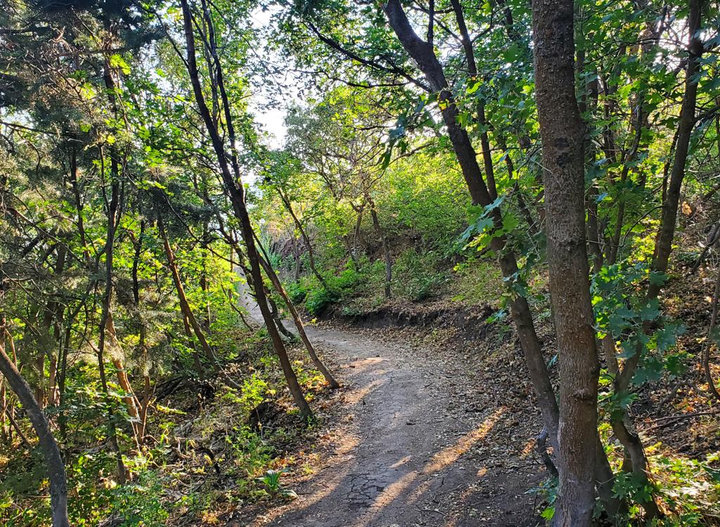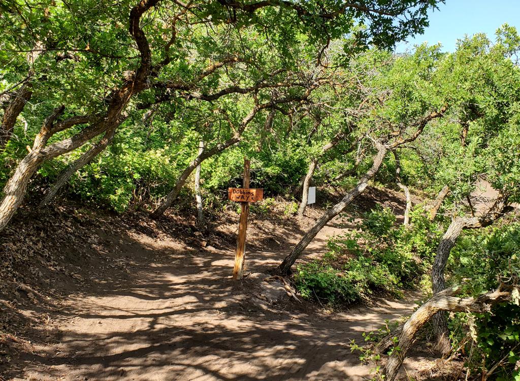
From the south end of the Juniper Crest Loop, we're looking east across the valley. Photos and description by Bruce on August 25, 2014.
Juniper CrestJuniper Crest was the first installment in the Herriman singletrack trail system, begun late
in 2013. It has since been severely affected by construction. For now, it provides another
"off-season" low-altitude riding opportunity. This page covers
the Juniper Crest Loop and Firebreak trails. Please see the Blackridge
trail page for additional Herriman foothill trails.
Note 2017: Inside the Juniper Crest loop,
construction of a new homes and roads is beginning. You can no longer
access the loop from the street connector near the church. Construction
has
also affected the loop itself in some spots, particularly on the eastern
side along the Mountain View Corridor. The trail was designated as a permanent
Herriman City route, and
with reroutes, it should continue to exist. However, I expect that construction
will, on occasion, temporarily close some portion of the loop. You may
not
be able to complete the loop.
The Juniper Crest loop is 4.8 miles, with a connection to the unfinished Firebreak Trail. In
this area there are multiple old four-wheeler trails that cross, plus
a couple of shortcuts
and connectors. For your first ride, it's best to start at the connector
just south of the
church on Juniper Crest Drive and ride the loop counterclockwise.

This is what you're looking for. Just to the right of this photo is the church. As you start out, be sure to quickly veer right on singletrack uphill, leaving the old ATV path along the road.

Near the south end of the loop, we're seeing Lone Peak and Timpanogos towering over Traverse Ridge.
The trail has about 300 feet of elevation change over the course of the loop. The church trailhead
starts at mid-altitude and climbs to the loop. You'll have an initial
climb of 150 vertical
feet, then as you close the loop you'll climb the whole 300 before dropping
back down to Juniper
Crest Drive. Overall climbing will be about 600 vertical feet. (Note 2018:
I'm told that construction has closed the connector from the church. I don't know if this segment of trail will re-open.)
The trail is an easy ride. There's nothing tricky. After the initial climb from the church,
fork left to get onto the loop at mile 0.3. The trail will head southeast
along the edge of
the mountains. Ignore any crossing dirt roads.
At 1.7 miles, the Blazing Saddles trail descends a wash down to the Mountain View Corridor
(mile 2.4). (There's no connection here, the trail simply rides along
the fence for a short
distance.)

An outcrop of weathered limestone guards the side of the wash.

Climbing northwest back toward the homes.
The trail then turns and climbs along a shallow canyon back up to the homes of Herriman. As
first enter the gulch, keep to the right at a trail fork at mile 3.4 for
the Patriot Gulch
trail. (The left path shown on the map below -- and as found in my GPS
track of the loop --
goes into the construction area and as of spring 2017 is bulldozed at
some points.)
Continue west on the paved path at mile 3.6, climbing uphill. Pass under Juniper Crest to singletrack
and keep climbing straight-ish uphill. Keep straight as you pass a connector
on the left at
mile 4.1.
After the trail veers left on steeper slope, you'll arrive at a 4-way at mile 4.3. To complete
the loop, keep straight and level as a trail heads uphill (Firebreak)
on your right and another
trail angles to the left downhill (see map).At mile 4.6, you're back at
the connector to Juniper Crest.

Heading uphill toward the tunnel on the paved section.

Climbing through oak brush on Eric's Trail.
From the western corner of the loop described above, Eric's Trail starts a series of switchbacks
heading uphill. It extends two miles uphill, climbing 900 vertical feet
to the Mustang Loop
portion of the
Blackridge
trail system
Eric's then descends another two miles to the Blackridge trail. It's 4.7 miles long.
To get on the trail directly from Juniper Crest Drive, ride up from the trailhead south of
the church. At mile 0.3, keep straight. (The trail on the right goes north
past the church
at lower altitude, and the trail on the left is the loop ride.)

Some areas have steep sideslope, but the trailcut is generous in width.

Looking northeast. The switchbacks in mid-photo are the route we took to get here.
At mile 0.6, keep left and uphill. You're now on Eric's trail. After two long switchbacks,
the trail reaches a less-steep part of the hillside. It will climb steadily
southwest.
The Mustang Loop forks to the left at the ride's highest point at 6300 feet elevation. Keep
right if you intend to descend on Eric's trail. The two trails rejoin
at the end of the loop
downhill. A loop around Mustang is worthwhile before heading back down.
Loop from Juniper Crest, counterclockwise:
Note, 2018: construction may not allow you to
connect
to the trail from the street near the church
0.0 West on ST from road
N40 28.737 W112 00.500
Veer R uphill on ST
0.3 L on loop N40 28.598 W112 00.577
1.7 Begin descent
2.4 Riding near road
3.4 Keep R N40 28.866 W112 00.318
3.6 L on paved trail N40 28.973 W112 00.418
ST after passing under road
4.1 Keep straight (L = shortcut)
N40 28.794 W112 00.744
4.3 Keep straight (L=Firebreak, R=to shortcut)
N40 28.709 W112 00.762
4.6 L downhill N40 28.598 W112 00.577
4.9 Back at road
Getting there: First, let me caution you.
Street names in this area often change as you go through a stop sign. And
the names on the signs are often not the same as what you see on your auto
GPS or on Google Maps. Yeah, it's messed up. But print my map (link
below) and take it with you. Look carefully at the street layout as you
follow my directions and you won't get lost.
Church trailhead on Juniper Crest (NOTE: may be
closed by constructrion): From the Bangerter
Highway, turn west onto 13400 South and drive 2/3 mile. Turn left (south) at the Mountain
View Corridor and drive about a mile. At the traffic light, turn right onto Rosecrest Road.
After 1/2 mile, turn left onto Juniper Crest. (Caution! the street signs
north of Rosecrest give Juniper Crest another name!) Immediately after you
pass the church 0.7 miles later, park at the roadside. The trail begins at the big
boulders on the right side of the road immediately after the second entry
to church parking.
River Chase Road: Southbound on Juniper Crest as above, turn
left onto River Chase Road just before you come to the big bridge over the
ravine. As the road begins to turn to the left by the pool, find a spot to
park. There's a paved path on the right side of the road, just before the
road turns left. Find it. The paved path descends into the ravine to join
the paved part of the Juniper Crest Loop. Keep straight and pass through
the tunnel, then continue on the dirt singletrack.
Blackridge trailhead: Get onto Juniper Crest as above. As you
see yourself leaving the dense homes and are approaching a bridge across a
ravine, turn right onto Ambermont Drive. (Again, caution. The continuation
of Ambermont east of Juniper Crest has a different name.) Over the next
half-mile, Ambermont goes
southwest, then west, then turns to northwest. Now fork left on Aurora
Vista. Quickly turn right onto Esher Street, then left at Ashland Ridge
and enter the parking area for Blackridge Pond. The
trail starts at the far end of the parking strip. (If you reach a
"do-not-enter" exit from Blackridge, you went too far on Aurora
Vista. Turn around and go back to Esher Street.)


