The Hell Hole DH begins on the Hell Hole Pass Road on Utah Hill. This one-way downhill route lies on mostly south-facing slopes beginning at 5750 feet elevation. It's usually done using a shuttle vehicle, but can be done as a loop using highway and gravel road. The ride is intermediate in technical requirement, bordering on upper-intermediate when done at higher speeds.
Hell Hole is 4.6 miles in length, descending 1200 vertical feet. It ends at the top of the eastern set of trails in the Revenant system. (Here you pick from three one-way downhill trails to continue the descent.) This lengthens your downhill to between 5.2 and 5.5 miles (depending on which DH trail you pick when you arrive at the top of east Revenant). The total drop will be 1400 feet.


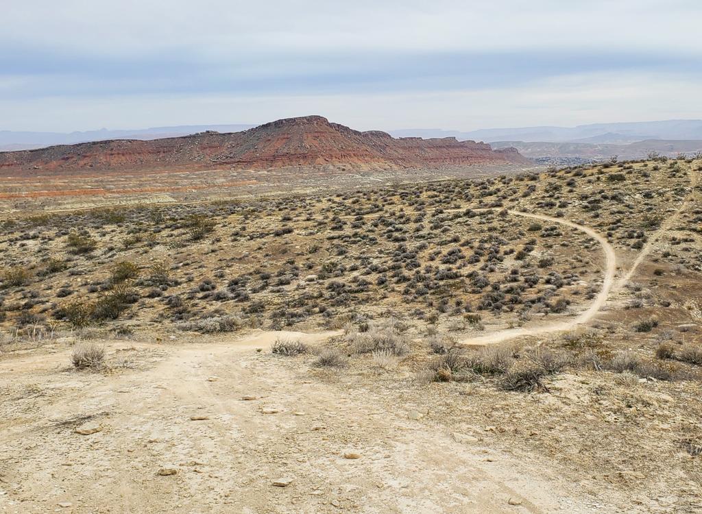
The trail begins as a doubletrack (ATV trail) on the south side of the Hell Hole Pass gravel road. There's a small primitive parking area here. As of February 2025, no trail signs have been installed. After some braiding of ATV paths over 0.2 miles, the trail diverts to the right onto singletrack. From here down, navigation is simple -- just roll down the singletrack.
The trail is mostly dirt ribbon, with engineered banked turns and occasional rockwork to roll over. There are plenty of big rocks protruding up into the riding surface, especially on the second half of the DH. You'll need to quickly decide whether to hit it, drop it, or dodge it.
These stretches of embedded rock in high-speed trail often occur on steep side-slopes. So while I'm giving the trail an overall intermediate-skill rating, Hell Hole is most appropriate for upper-intermediates. There will be consequences if you mess up.


Most riders will shuttle this ride. But it's possible to ride it as a loop. From the Revenant system trailhead, exit to Old Highway 91. Climb 2.9 miles on the highway over the top of Utah Hill, then grind up three miles of the gravel Hell Hole Pass Road. The full loop is 11.5 miles with 1700 vertical feet of climbing.

Drive west from St George on Old 91 (the continuation of Sunset through Santa Clara and Ivins). Keep left at the Gunlock turnoff and climb Utah Hill on Old 91. Two miles after crossing the summit, look for mile marker 7 on your left. The dirt road turnoff is on your right, just past the mile marker. Drive 0.4 miles and turn left into the primitive parking area. Low-clearance sedans should park at the highway and pedal to the trailhead.

Drive up Utah Hill on Old Highway 91 as above. Watch for mile marker 4, around 3/4 mile before you reach the summit. At mile 4.1 from the Gunlock turnoff, there will be a gravel road on your right. Drive 3 miles uphill on the road. After a short downhill followed by a mean climb, you'll reach a second "summit" as the gravel road turns to the right. The parking area is on your left. On the uphill side of the parking area is a doubletrack (ATV path) which is Hell Hole.

From the Revenant trailhead, backtrack 0.4 miles on the dirt road to Old Highway 91. Turn left uphill and start cranking. Just after mile 2 of Old 91, you'll cross over the summit of Utah Hill. Descend 3/4 mile. Watch for a "street sign" on the left, labeled "Hell Hole Pass Rd." You should now be at mile 3.3 from the Revenant trailhead.

Around mile 2.5 from Old Highway 91, you'll roll over the top of a hill to descend a bit, then begin a final brutal grunt climb. At mile 3.0 of Hell Hole Pass Road (mile 6.2 from Revenant), you'll reach a flat area with a right turn in the road. The primitive open area to your left is parking for Hell Hole DH. The outgoing trail is the doubletrack on the uphill side of parking.

Yes, it is technically possible to climb the ATV path all the way from Highway 91 (rather than climbing Hell Hole Pass Road). This 4x4 route is found 0.7 miles uphill from the Revenant entry. I found it to be steep, loose, and unpleasant on my non-ebike. Average 10% slope. The ATV path crosses the singletrack several times, beginning at mile 1.5 from Old 91, which gives you a chance to bail! As you encounter trail forks, try to keep north heading north. (I've included the first two miles of the ATV route in my multi-track GPS file.)


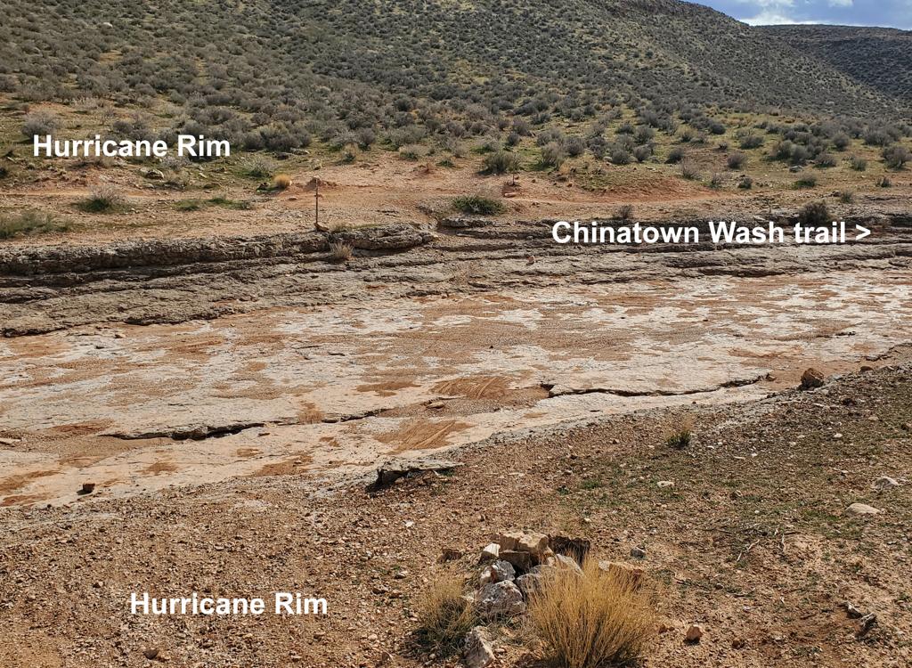
The DH trail tends to hug the side-slope above canyons. You'll cross dry washes a couple of times as you navigate downhill.
Hell Hole does not have continuous downhill flow. From time to time, you'll need to pedal as the trail aims slightly uphill. Most riders would agree that the trail runs best on an all-mountain bike rather than a gravity DH-specific rig.


At mile 4.0, you'll notice a wide multi-track "waterfall" of tech rock descending down to a trail below you. The official trail continues straight ahead, and will turn back 180 degrees to pass below the cliff area. If you decide to hit the tech rock, turn right at the bottom to continue on toward Revenant.

As you begin to drop off the ridge, you'll quickly come to a second trail fork. You have the choice of Quickdraw (easy, right), or Skyline (intermediate, left). From Skyline, you can opt for high-expert Drop-in (obligatory gap jumps). All three trails will take you back to Revenant's parking.

Hell Hole trailhead: Drive up Utah Hill on Old Highway 91 as above. Watch for mile marker 4, around 3/4 mile before you reach the summit. At mile 4.1 from the Gunlock turnoff, there will be a gravel road on your right. Drive 3 miles uphill on the road. After a short downhill followed by a mean climb, you'll reach a second "summit" as the gravel road turns to the right. The parking area is on your left. On the uphill side of the parking area is a doubletrack (ATV path) which is Hell Hole.