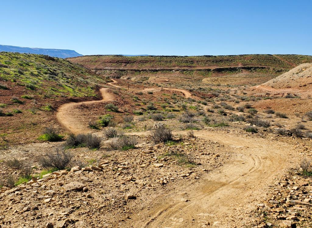
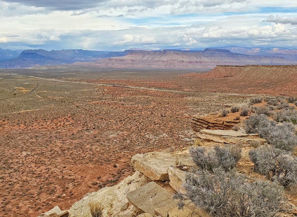
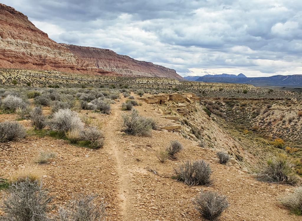
Looking northwest as the trail skirts the cliffs.

Hazel (Upper Gould Cliffs)

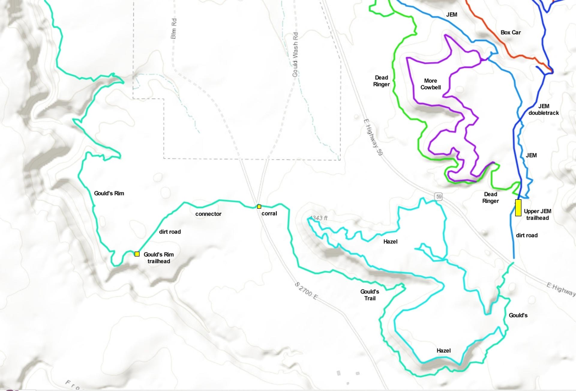
Hazel is an unofficial singletrack trail that forms a loop off Gould's Trail near Highway 59. It's just across the highway from the upper JEM trailhead. The trail lies at 4300 feet elevation and is completely sun-exposed. Much of the trail follows the level of the chunky limestone cap-rock of the gently-tilted mesas. Sometimes after a rain, Hazel is ready to ride when the trails in the lower JEM system are gooey.

Hazel begins and ends on upper Gould's. It's 3.7 miles in length. Combined with the 0.3 miles of Gould's Trail between the two ends, that's a 4-mile loop. There's just under 300 feet of climbing over the course of the four miles.
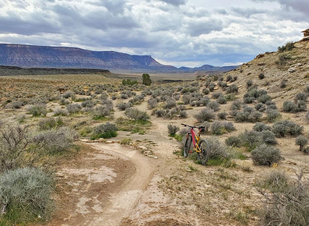
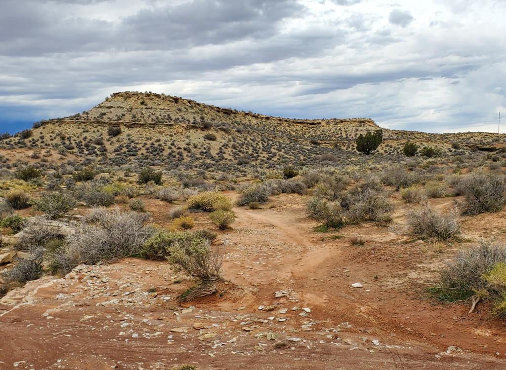
The upper end of the trail is 0.2 miles downhill from the step-over gate at Highway 59. As you'd expect for a little-known "social trail," the trail fork can be hard to spot in the downhill direction, and impossible to see when climbing up Gould's.
Looking south as we arrive at the top connector. It's       the bare spot between my bike and the row of rocks.
Looking south as we arrive at the top connector. It's the bare spot between my bike and the row of rocks.
Looking northeast at the lower connection. There's       also a row of rocks along Gould's here, designed to make you not see the       line to the left that takes you across the wash.
Looking northeast at the lower connection. There's also a row of rocks along Gould's here, designed to make you not see the line to the left that takes you across the wash.
The lower end of the loop is more easily seen, but only if you're riding uphill. At 1/2 mile from the top (1.9 miles uphill from the corral on the Gould's Wash Road), Gould's will skirt a small flattish wash by veering slightly right. The Hazel trail is visible on the opposite side of the wash, to your left as you're pedaling uphill on Gould's.
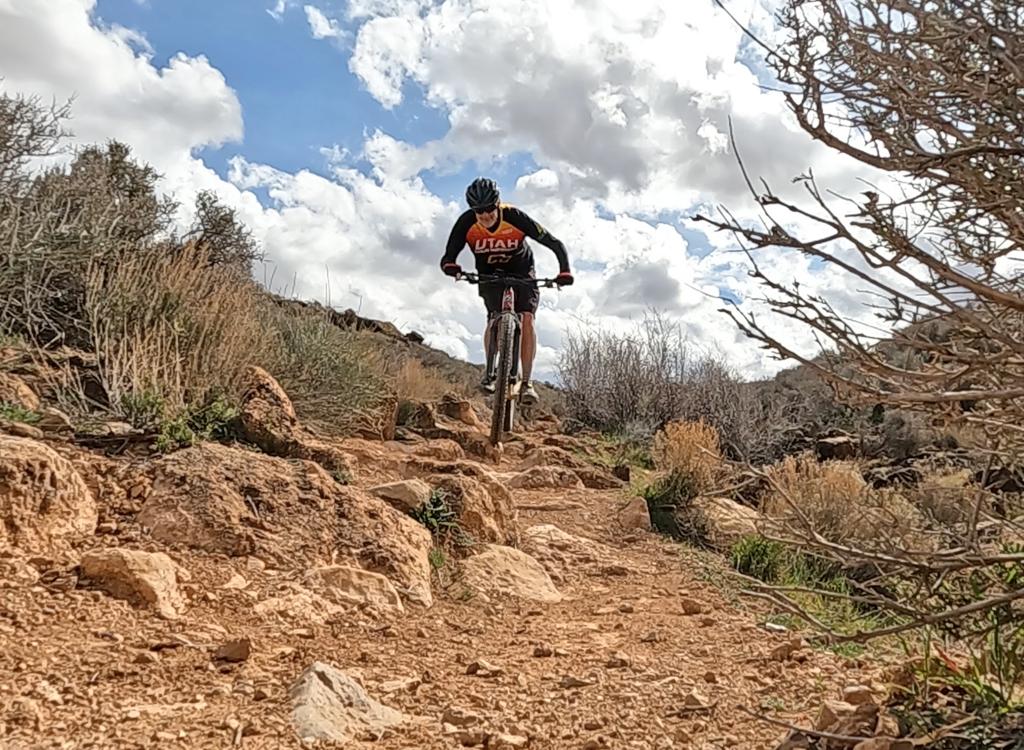
The trail is narrow, with some side-slope riding where run-off can make the track bumpy. On the flats, slabs of limestone are easily bumped across. I'd rank the ride as easier-intermediate.

The highlight of the ride is the cliffs. Multiple times, the trail approaches the cliff line where the Moenkopi clay has eroded under the limestone cap-rock. You'll also enjoy views of Gooseberry Mesa to the north.
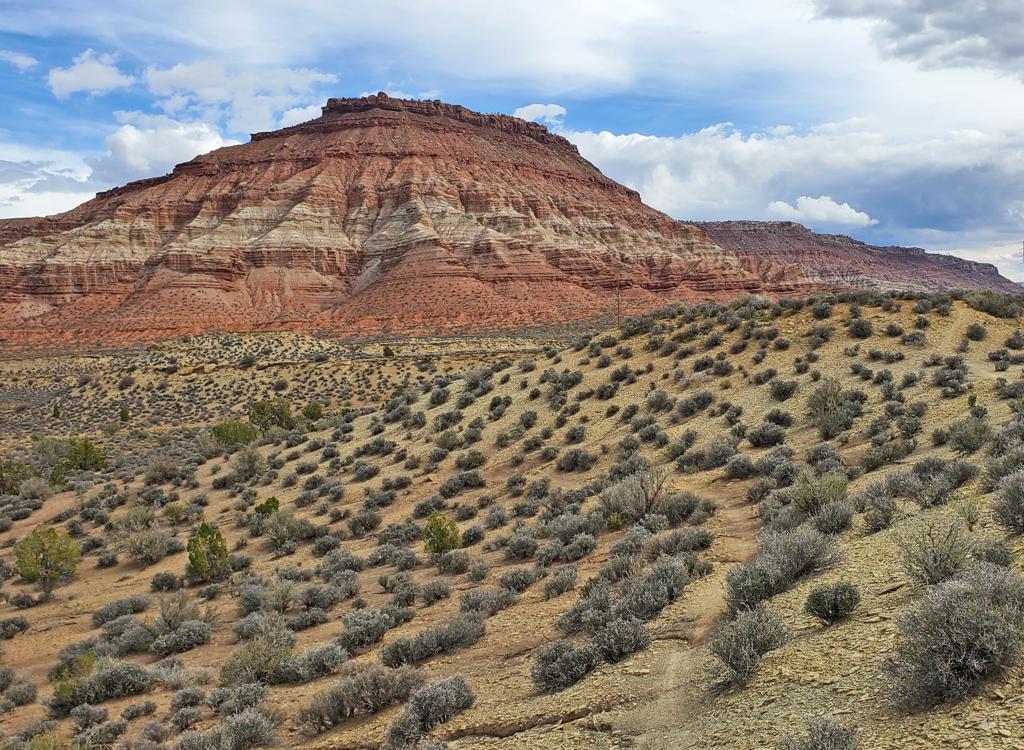
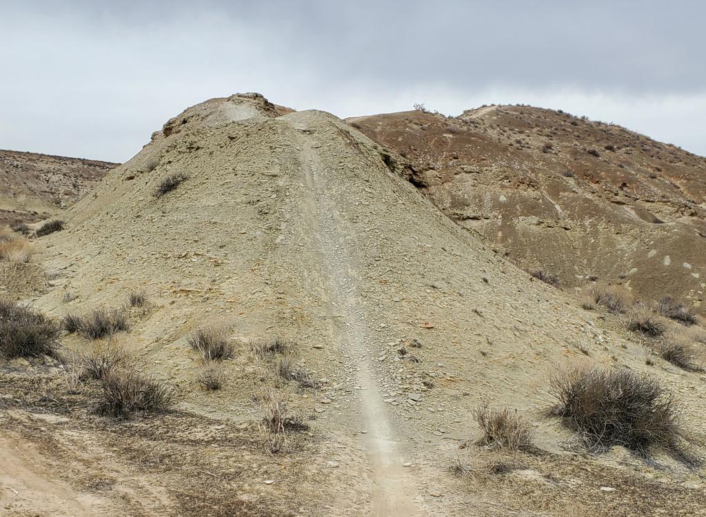
Gooseberry Mesa, with the narrow singletrack of Hazel       curving below a small hill.
Gooseberry Mesa, with the narrow singletrack of Hazel curving below a small hill.
The trail winds around to visit several extensions of       the mesa, all with great views.
The trail winds around to visit several extensions of the mesa, all with great views.

Despite recent rains, I found the trail fairly easy to follow, making only one little wrong-way out-and-back while crossing a wash as the trail curved around the head of a canyon.

A ride down from the JEM trailhead and around the loop will have just under 300 feet of climbing overall.

Bottom Line!

This is a nice little trail, well-hidden from those who don't live in the area. I thought it was worthwhile. The views are nice. The riding is OK, if not exciting. Hazel is a "social trail" -- built without authorization -- so enjoy the ride but don't expect trail signs or help with navigation from your app.
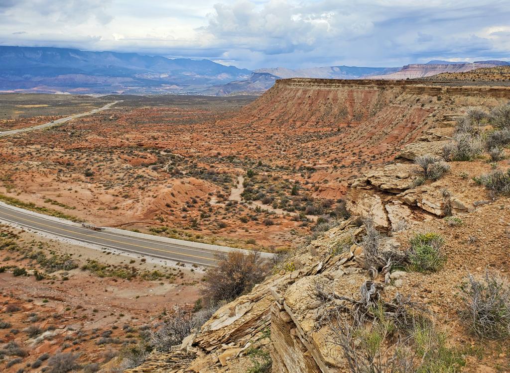
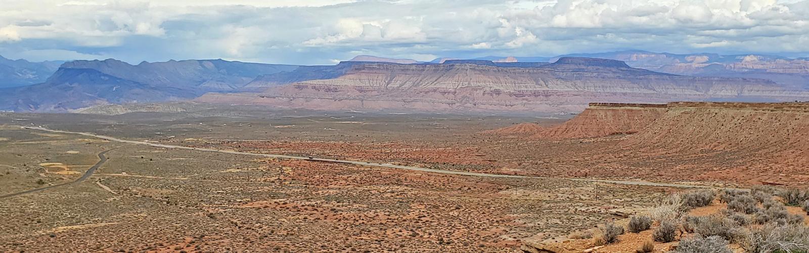
Looking down on Highway 59 on the northernmost mesa.
Trailheads and navigation to Hazel
Looking northeast in the upper JEM       Highway 59 trailhead.
Looking northeast in the upper JEM Highway 59 trailhead.
Highway 9 Upper JEM trailhead

In Hurricane, turn south on US-59 (towards the Grand Canyon). Drive exactly 5 miles uphill. Turn left on cindered doubletrack right as you approach the base of Gooseberry Mesa. Drive another 0.3 miles to the parking area.

To get to Hazel, backtrack along the dirt road and cross Highway 59. Go through the fence on the ride-over cattle extruder. Pedal down Gould's trail for 0.2 miles and watch for a faint trail that keeps straight as Gould's curves to the left.
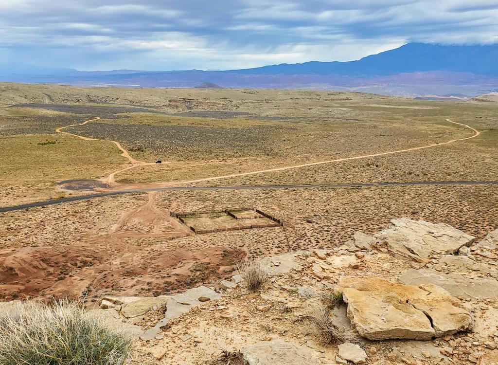
Looking down from Hazel at the corral.
Gould's Corral

You can begin the ride either from the official Gould's trailhead on the rim of Gould's Wash, or you can start from the corral.

To start at the corral, drive up US-59. Just after you complete the long climb up the canyon, watch for the Gould's Wash Road on the right at mile 3.3 from where you started Highway 59 in Hurricane. (If I recall correctly, it's just after you pass Sheep Bridge Road.) The corral is on your left at mile 1.2 from Highway 59.
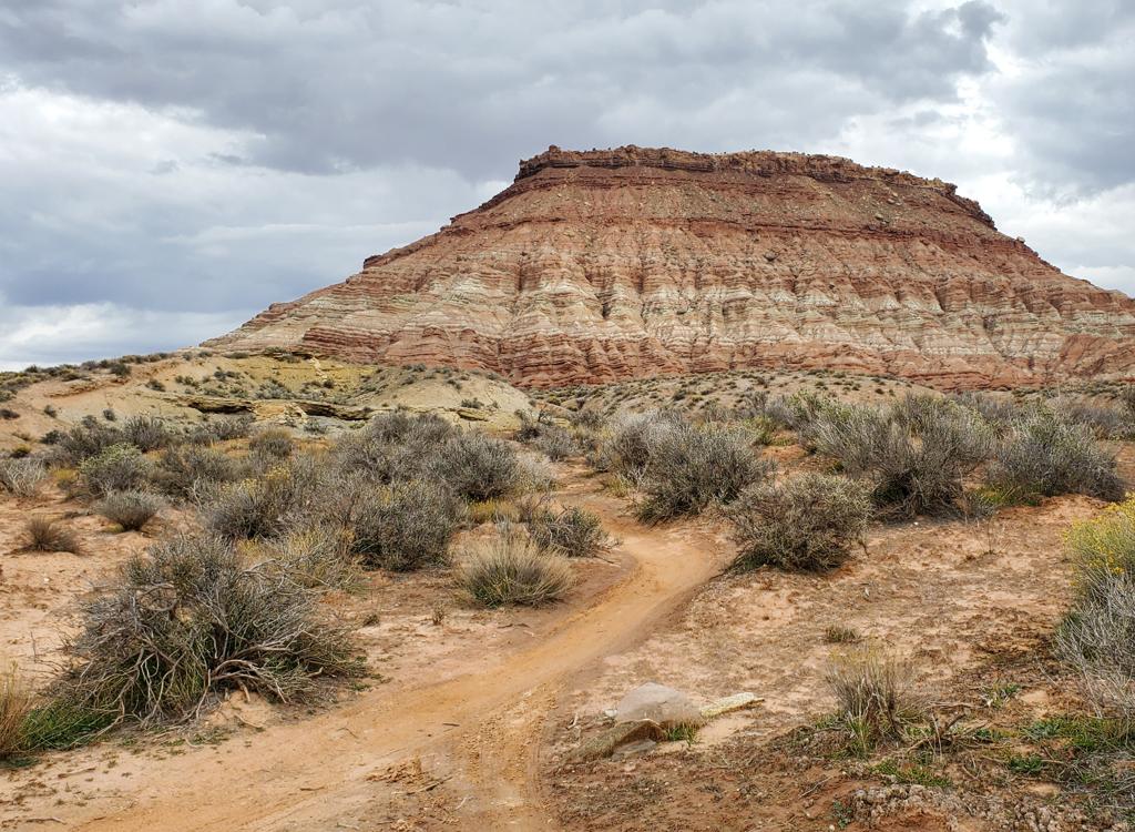
View on Gould's as we complete the loop around Hazel.
To find the lower connection to the Hazel trail while climbing Gould's, pedal 1.9 miles from the corral. The trail veers from northeast to north, and you can plainly see almost all of Gooseberry Mesa ahead of you. As the trail turns a bit to the right to avoid a shallow wash, look across that wash and spot singletrack on the left ahead.