Connectors from Armstrong to Spiro
There's not much to say about the these trails, except that they are short (0.8) mile connector trails jumping the gap between upper Armstrong and upper Spiro . HAM and Dawn's aren't "destination" trails, but a way to get somewhere else faster. Our featured ride uses HAM to create a shorter version of the Armstrong-Spiro loop ride for less-strong riders.


0.0 Leave parking to North
N40 39.247 W111 30.550
Cross to Three Kings Dr northbound
0.3 L uphill on Crescent N40 39.382 W111 30.813
0.4 R to gravel area, L onto ST
N40 39.401 W111 30.899
0.5 R on Armstrong N40 39.341 W111 30.900
2.1 Keep R on Armstrong (L = Dawns)
N40 39.045 W111 31.735
4.5 Keep L on Spiro N40 38.807 W111 31.622
5.4 Keep L (R = Eagle) N40 39.163 W111 31.129
6.3 Keep L (R = Silver Spur) N40 39.306 W111 30.895
6.4 Hard R at Armstrong/Spiro junction
N40 39.341 W111 30.900
6.5 Onto pavement
6.8 Back at parking

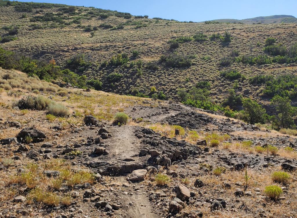
At 0.7 miles from Armstrong, Dawn's Trail splits. The part straight ahead and downhill is hiking-only. Bikes take a right turn and climb a couple of switchbacks up to Spiro.


0.0 Leave parking to North
N40 39.247 W111 30.550
Cross to Three Kings Dr northbound
0.3 L uphill on Crescent N40 39.382 W111 30.813
0.4 R to gravel area, L onto ST
N40 39.401 W111 30.899
0.5 R on Armstrong N40 39.341 W111 30.900
2.1 L onto Dawn's
N40 39.045 W111 31.735
N40 39.186 W111 31.363
2.9 L downhill on Spiro
N40 39.167 W111 31.337
4.0 Silver Spur N40 39.307 W111 30.897
Option L for ST return
4.1 R to stay on Spiro (L = Armstrong)
4.2 Bottom of Spiro
4.6 Back at parking

Parking: Not at trailhead! Use north Park City
Resort lot.
Water: None at trailhead.
Bathrooms: None.
Bike services: Multiple in Park City, includes rentals
Camping: Hailstone on US 40
Single-page riding guide for printing (loop w HAM)
Higher-res topo maps: Short Loop area
Wider area incl Crest/MidMtn loop
GPS track for this ride:
GPX HAM Loop
Monster PC area multi-track file
Lodging, camping, shops: Links to Cottonwood canyon resources


