The Glenwild Loop is an 8.4 mile intermediate-technical loop, located just across I-80 from Park City. Starting at 6350 feet, the loop has 800 feet of elevation change, with a total of 1200 feet of climbing. A cutoff trail splits the loop in two, if you're looking for a shorter ride. This ride also connects to the Stealth and 24-7 trails.


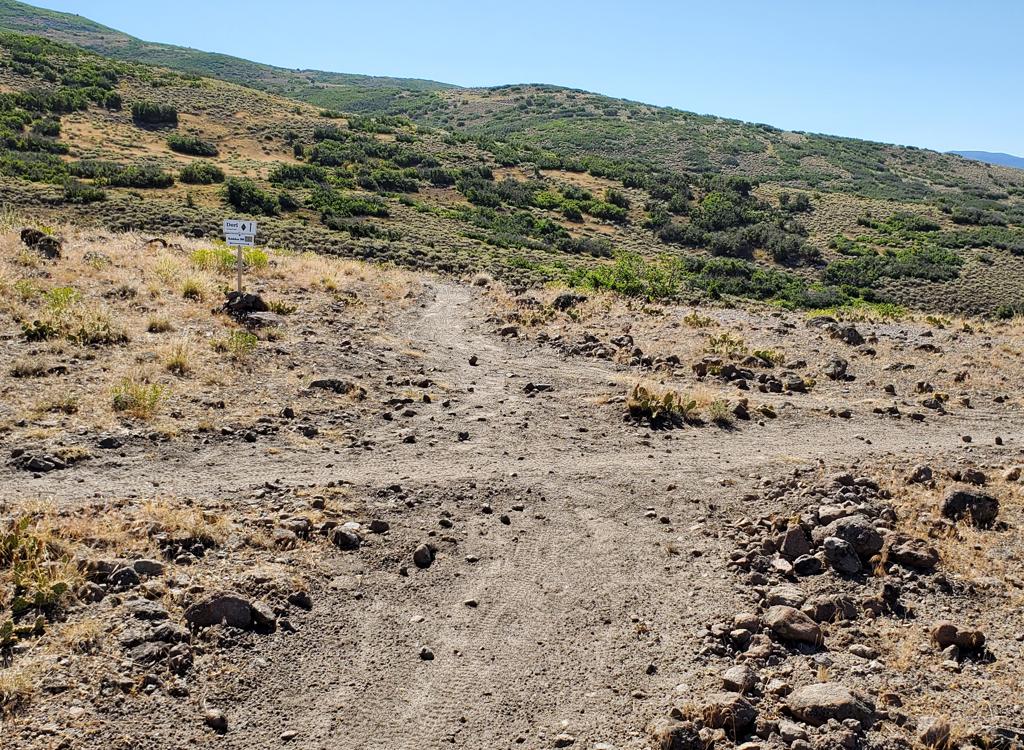
Counterclockwise: the cutoff trail will merge on your left as you near a road at mile 1.05. Then, after the descent from the high ridge, you'll come onto a fire break at mile 5.9. The trail straight across the road is the cutoff trail! To complete the full loop, turn hard right and roll down the firebreak, which turns into singletrack after about 100 yards.
The Glenwild Loop can be used to access the Cobblestone Loop , 24-7 and Bob's Basin Freeride , and Flying Dog . Please see the respective pages for information.


GPS track files (right-click and "Save as..."):
GPX Glenwild Loop
GPX area files
Large-format topo map: View
Related pages:
Flying Dog
JR 24-7
Cobblestone
Lodging, camping, shops: Links to Park City area resources


