Forbidden Trail
Includes the historic More Effort trail
The Forbidden Trail is lies in the foothills of Alpine, extending from the Bodily Harm trail above Alpine Cove to the Three Falls trail in Fort Canyon near the falls. It's part of a popular -- but very long -- route from Alpine to Draper's Corner Canyon. Forbidden is part of various loop rides when combined with Three Falls Fort Canyon plus either Vista Ridge and Stoney Way or Bodily Harm. See the area overview page for links to other area trail pages.


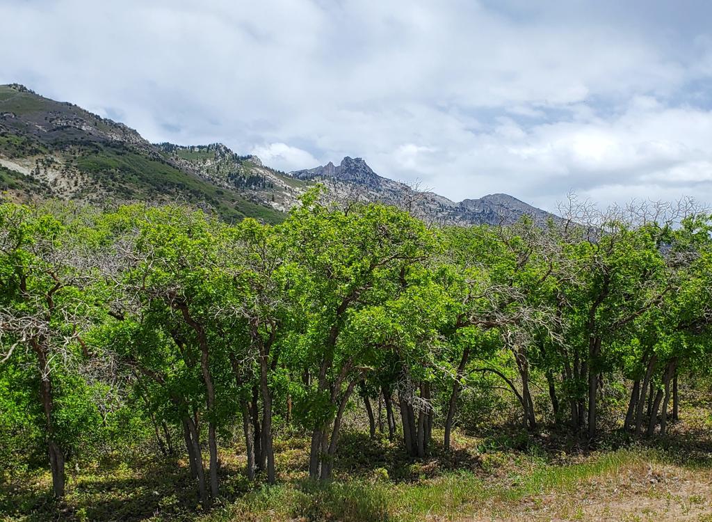
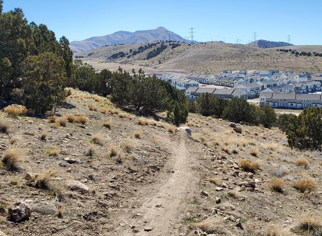
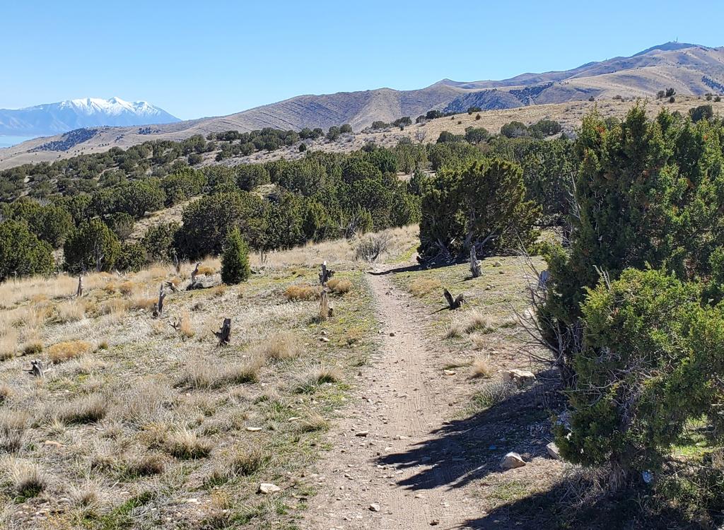
The trail offers a variety of scenery, which is one of its attractions! There will be wide-open views over the valley, plus looks uphill to Lone Peak and Dry Creek Canyon. There's forested riding in mature maple forest on the east side and and an interesting path among rock outcrops above Fort Canyon on the west.

As Alpine's main street begins to turn a bit to the east, turn left on the Fort Canyon Road. Drive uphill to the main gates, but turn right to the trailhead. From the Fort Canyon Ranch Trailhead in Alpine's Fort Canyon, find the Three Falls Fort Canyon trail to the left of the bathroom. As you climb the Three Falls Fort Canyon trail, keep left as Vista Ridge, Last Chance, and Bodily Harm fork away on your right. Descend into upper Fort Canyon, cross the paved road, and climb uphill about 1/10th mile. At mile 2.4 from the Fort Canyon Ranch trailhead, fork to the right on Forbidden.
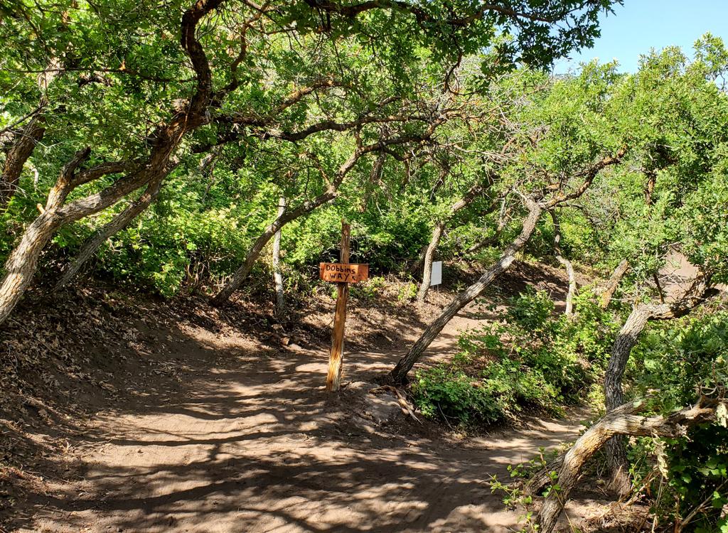
 trailhead. Stoney Way goes both directions from here.")
At the first T intersection when northbound on Alpine's Grove Drive, turn left. After 1/10th mile, turn left again. Go 1/10th mile and turn right on Savannah Circle, then right into The Ridge trailhead. You can take Stoney Way in either direction. South (left) will take you to the intersection of Heritage Hills with Vista Ridge. North (right) takes you to Bodily Harm, where you'll turn sharply uphill and climb. About 1/2 mile up the hill, veer to the right on the historic "More Effort" trail which is now the lower part of Forbidden.

On Alpine's main street, continue north until the road turns right at Fort Canyon, then watch for a small paved Heritage Hills (North Point) trailhead on your left in about 1/4 mile. Climb up through Heritage Hills until you reach Stoney Way and turn right. Traverse the hillside northbound for 1.5 miles to reach Forbidden across the Fort Canyon Lane road.

The Forbidden trail was finished in late summer 2018 but has undergone a major re-route in 2024. The trail now ties the lower side of Bodily Harm (1/2 mile up the hill) to the Three Falls trail on the north side of Fort Canyon. It has incorporated most of the old More Effort trail. It is 2.5 miles in length and has 700 feet of elevation change. Riders do Forbidden in either direction, but most prefer to do it downhill.
The shortest loop ride from Alpine Cove using Forbidden, Three Falls Fort Canyon and Bodily Harm will be 6 miles with 900 vertical feet of climbing.
The loop of Stoney Way, Vista Ridge, Three Falls, Forbidden and the bottom of Bodily Harm will be at least 7 miles with 1200 feet of climbing. The distance and amount of climbing will depend on which trailhead you use to connect to the loop, and whether you decide to detour onto the DH trails near the top of Bodily Harm.


Most riders will prefer to do Forbidden as a downhill, riding clockwise. You'll climb a bit as you leave Three Falls, but it's at a mellow pace. Then you'll have a nice flow downhill to Bodily Harm.
But whichever direction you ride Forbidden, it's a very nice trip!

On the bottom, the Forbidden trail must be reached via Bodily Harm. This is a relatively stiff climb. You can catch Bodily Harm where it forks off the Three Falls Way road as it crosses the creek (perhaps by parking uphill at the Lone Peak trailhead and backtracking). Or you can ride Stoney Way north from The Ridge trailhead to meet Bodily Harm.
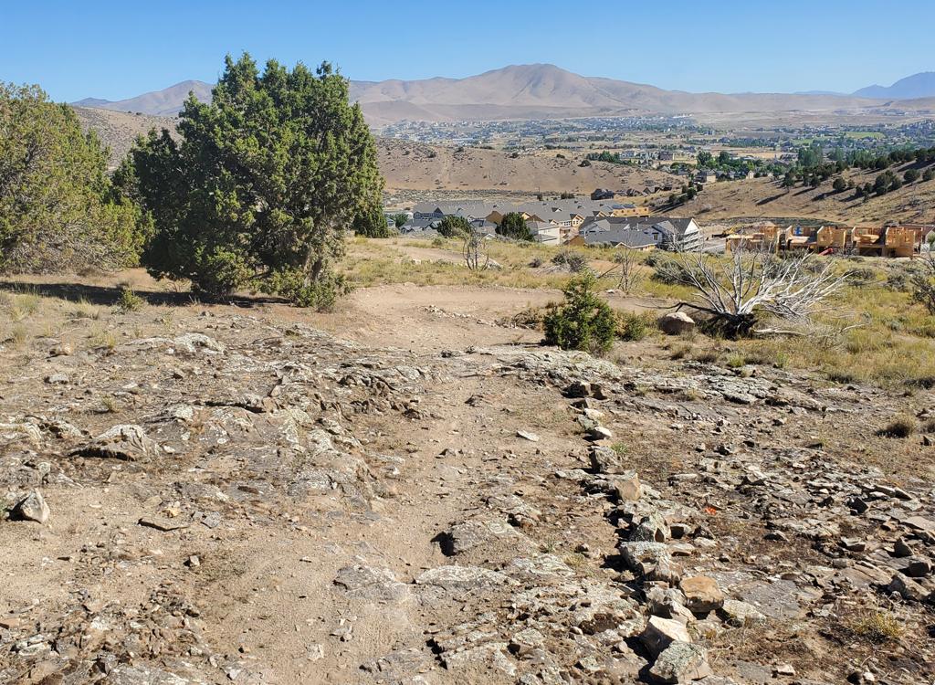
Forbidden begins as the More Effort section as it forks away from Bodily Harm. This area is highly sun-exposed on a steep side-slope. You'll continue to climb steadily until you reach the top of the knoll. Then the slope mellows.
As a climber, the first bit of Forbidden has substantial pitch (around 10% slope). Once you cross the knoll and descend a bit, the rest of the trip uphill is a mellow ride through beautiful forest.
The trail meanders back and forth through mature maple forest. This section of the trail is usually butter-smooth and easy to ride.


The trail crosses the water tank road at mile 1.7 from the bottom. The trail's highest elevation is 5900 feet, just before you cross the road.
The continuing trail is at the break in the fence just across the road.
The trail now begins dropping into Fort Canyon. You'll lose around 250 feet of elevation. Forbidden will join the Three Falls trail in 0.7 miles from the road crossing. Here a left turn will take you down and across the road for a loop ride. Of course, you'll be climbing up the other side of Fort Canyon before you can go downhill again.
A right turn goes across the bridge on the Three Falls trail toward Draper. Any ride to the Peak View trail area in Draper will involve big miles and substantial overall climbing.


The upper end of Forbidden is on the Three Falls trail on the north side of Fort Canyon. If you rode from Draper, it's just east of the bridge over the big ravine and the falls. If you're coming uphill through Fort Canyon, Forbidden is 1/10th mile above the Three Falls Lane road. Forbidden forks to the east here.


After 0.8 miles of beautiful forested downhill cruising (mile 1.5 from Three Falls) the Forbidden trail will climb a bit to skirt the summit of a bald knoll. This is part of the 2024 trail construction.
The trail will climb gently for 1/4 mile until you skirt the top of the knoll, where you should take a minute to appreciate the views. Now Forbidden will descend the steep slope through banked turns. As the new trail-cut joins the old More Effort trail, the pitch will ease. When you reach the Three Falls Way road, turn left and find the continuing trail around 30 feet downhill.
Forbidden will hit the apex of a hairpin turn on Bodily Harm. Keep right and uphill to climb back up the hill to Three Falls for a shorter loop ride. This route also takes you past the entries to the DH trails in Big Hollow, should you want to add them to the loop.
Or, you can veer left and downhill to descend lower Bodily Harm to its end on Three Falls Way at the creek. Or, as you approach the bottom of Bodily Harm, you can hook sharply to the right on Stoney Way. Stoney Way passes The Ridge trailhead, then connects to Vista Ridge and Heritage Hills.


This is one of the best foothill trails anywhere along the Wasatch Front. Varied terrain, beautiful views, and butter-smooth singletrack. But you're going to work a bit to ride it. I suggest a clockwise loop, using Forbidden in the generally-downhill direction.
Heritage Hills (North Point): Shortly after you veer to the northeast from Main onto Heritage Hills Drive as above, spot the small parking lot on your left and turn in. Pedal up through the subdivision and find Vista Ridge/Heritage Hills heading uphill. If you're heading for the top of Forbidden, keep left, then climb Vista Ridge to Three Falls. For the bottom of Forbidden, go right for 1.5 miles then climb Bodily Harm to Forbidden.
The Ridge TH (Stoney Way): At the T intersection of Grove Drive, turn left and follow the road to another T intersection. Turn left, then right on Savannah Circle. As it approaches the mountain the trailhead is on your right. Take Stoney Way 0.7 miles northeast and turn left uphill on Bodily Harm to climb to the bottom of Forbidden.

Facilities: bathroom at Fort Canyon trailhead, bathrooms at Lambert Park trailheads. (No services at Schoolhouse Springs, The Ridge, or Heritage Hills trailheads.)