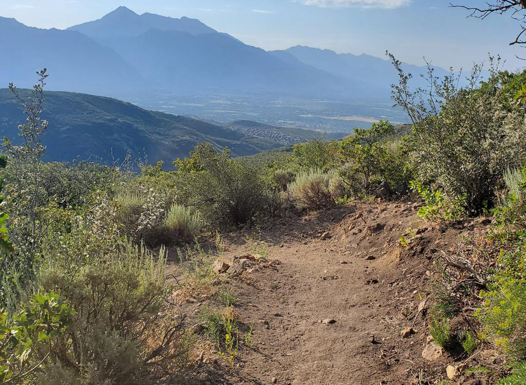
Dry Creek Gulch Trails
The Highland Hollow trail system in Dry Creek gulch in northwest Highland was built in summer 2016 by the Lone Peak High School mountain biking team with help from Eagle Scout projects. The trails are just downhill from the flood-control dam in "the big dip," along the Murdock Canal Trail .
Or, you can start at a nearby Murdock Canal Trail trailhead and pedal down into Dry Creek. The closest trailhead is on 10400 North at around 6500 West. (There's a bathroom and water here.) From this trailhead, it's 0.8 miles northwest to reach the bottom of the gulch.


The riding season will be March through December. The area has a lot of sand, so hopefully it won't be a mud-bog when wet. At this time, the surface on these brand-new trails is very powdery. But I only spun out once and dug-and-died once. So it's good to go.


If you go straight south from the official entry (keeping left at the Bonzai fork then crossing two trails), you'll find yourself on Greg's trail along the creek's edge.


Shotgun is another loop that mixes easy trail with harder trail. The north side (closest to the creek) is easy riding, although the bumps may be tough for kids and their tiny bikes. The south half (on the south rim of the gulch) has some tough turns and would rate upper-intermediate.


Great little trail system for a fun ride, especially attractive to groups of mixed ability. It will only get better as the trails are compacted. A good quick ride for locals who crave dirt but don't have time to drive somewhere, but worthy of the trip from SLC or south Utah Valley.
I'm assuming that there will be some fat bike traffic in the winter. At least, I'm planning to try it.

Bathrooms and water: Murdock Canal Trail rest stops and trailheads.
From the north. On Timpanogos Highway in Lehi, turn into the Smith's parking lot. Find a parking spot near the southwest corner. Find the connector to the Murdock Canal Trail and turn left. Go under the road, then descend around two turns to the kiosk.
Alternatively, you can ride a couple of miles from the Bull River trailhead near I-15 on the Timpanogos Highway. See the Murdock Canal Trail page.
From the south. Take Timpanogos Highway east to 6400 West (the first road on the right as you climb out of the dip) and turn south. Go to 10400 North. To park near the bathroom, go straight through the intersection, pass the Murdoch trail (which looks a bit like a road), then turn left at 10250 North down to the parking area. This is Mitchell Hollow Park. (An additional larger parking lot is on the north side of 10400 South at around 6500 West, with quick access to the paved trail.) Get on the paved Murdock Canal Trail and head north 0.9 miles. In the bottom of the dip, you can turn left on DT just before the bridge, or cross the bridge and turn left onto singletrack at the big wooden sign 200 feet later.
GPS track files (right-click and "Save as..."):
GPX multi-track file w individual trails
Aerial map for printing: View map
Lodging, camping, shops:
Links to AF Canyon resources
Links to Provo area resources


