Looking southeast as the trail meanders along the       slope. Review by Bruce on June 21, 2025.
Looking southeast as the trail meanders along the slope. Review by Bruce on June 21, 2025.
Dobbins Way

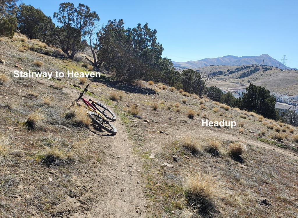
Dobbins Way is a one-mile trail that connects the Ann's Connector (Maple Hollow) trail in Draper's trail system to the Mayors Trail in the Traverse Mountain system. The trail lies at 6100 feet elevation near the top of Traverse Ridge. The trail opened in June 2025.

The primary attraction of Dobbins Way is not the trail itself; it's where it can take you. Dobbins Way is a major step in linking up the trail systems of Traverse Mountain and Draper.

Dobbins Way is a machine-built bench-cut trail that contours the slope on the northern side of Traverse Mountain west of Deer Ridge. The trail runs very flat, with only trivial elevation change over its one-mile course. It provides an easy and direct link between the trail systems of Traverse Mountain and Draper.
Bruce rounds a turn at a rare rock outcrop. At this       time the trail itself has no rock or roots, just dirt and pebbles.
Bruce rounds a turn at a rare rock outcrop. At this time the trail itself has no rock or roots, just dirt and pebbles.
Looking north along the Wasatch Front.
The terrain is primarily scrub oak, with occasional groves of mature maple. There are frequent views of the Salt Lake Valley on the north.

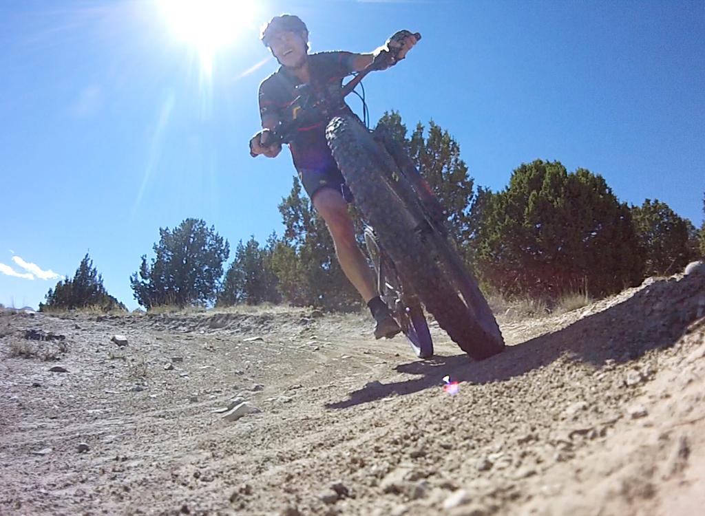
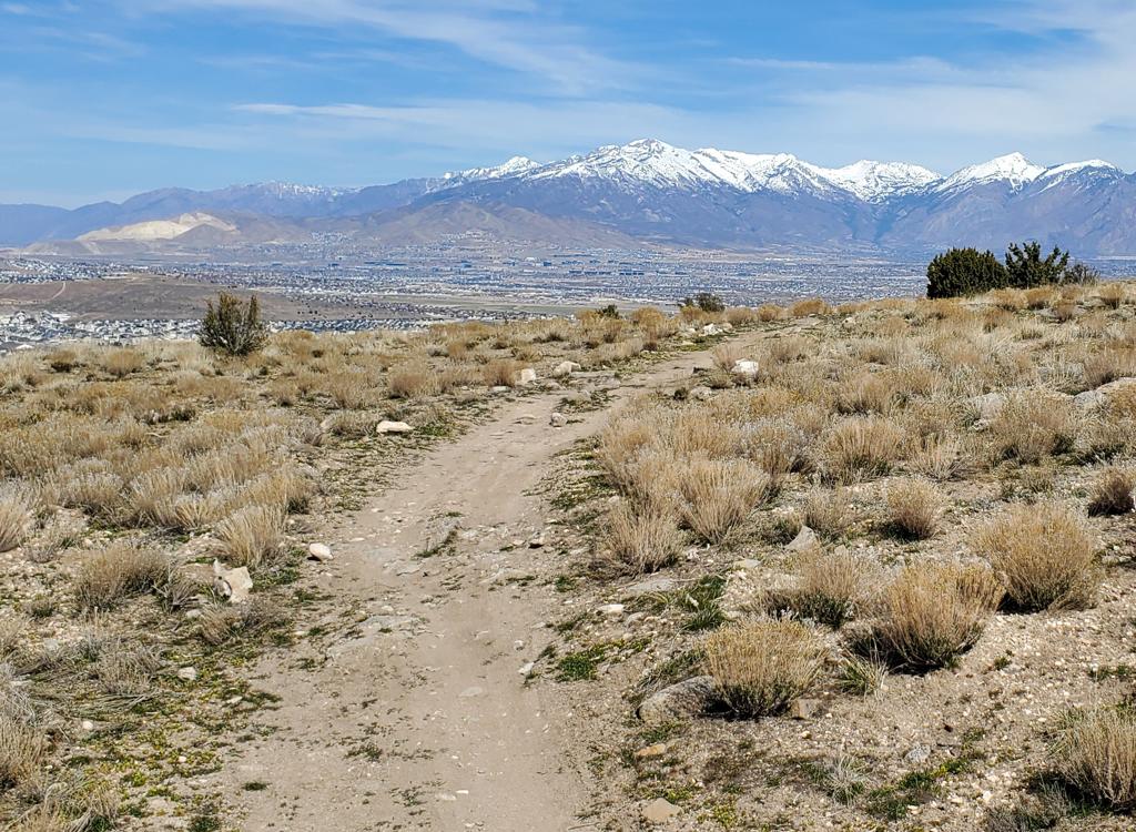
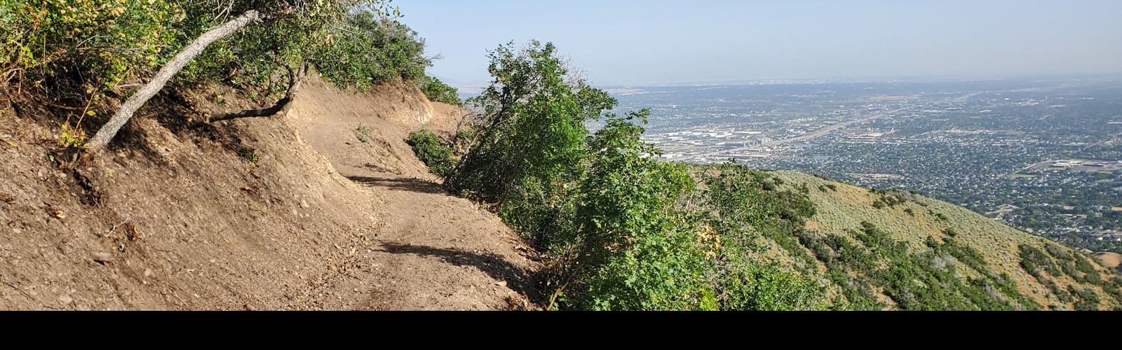
The ride can be enjoyed for the views. No need to stop. You can see the valley from over 3/4 of the trail.

The trail surface is broad and flat, with only about 50 feet of elevation change total. There are no technical features. The riding is very easy, and suitable for beginners if they have the skills and strength to pedal Ann's Connector to the Dobbins Way trail. (Riding from the Maple Hollow trailhead is the easiest way to reach the trail, as it's only 0.4 miles and 130 vertical feet away.)
Trees get bigger when the trail turns into a       drainage.
Trees get bigger when the trail turns into a drainage.
Heading west through a grove of oak.
Very few riders will get excited just to ride Dobbins Way. It's more of a "transportation link" that opens up new routes and loop options. And that's a big deal!

For example, it you're riding the big loop of South Maple Hollow to the Lehi BST, then up through the Traverse Mountain system, Dobbins Way can shave off a couple of miles distance and a few hundred vertical.

Recommended trailheads
Looking west from the sidewalk at the parking       semi-circle.
Looking west from the sidewalk at the parking semi-circle.
Maple Hollow trailhead
The Maple Hollow trailhead provides direct access to Ann's Connector and the Maple Hollow DH trail. At the four-way stop at the top of Suncrest, get onto Deer Ridge Drive. Drive west for just under one mile. As you reach Deer Ridge trailhead, turn to the right at Elk Glen Drive instead of entering the trailhead. After 100 yards turn left into the Maple Hollow trailhead parking area. Ann's Connector is straight west past the kiosk.

There are no services at this trailhead.

Looking southwest at the bathroom area. The       doubletrack on the left climbs up to the Beware of Doug loop.
Looking southwest at the bathroom area. The doubletrack on the left climbs up to the Beware of Doug loop.
Deer Ridge trailhead
The newer Deer Ridge trailhead offers more parking, plus bathrooms, picnic tables, and water (including a bike-washing and water-bottle filling station). To use this trailhead, go to the end of Deer Ridge Drive as above, but go into Deer Ridge trailhead and park. Find the singletrack that goes north to the Maple Hollow trailhead. It's located next to a picnic table on the northern edge of the parking strip.
Looking west from Sensei at the Fox Canyon trailhead.       The trails begin as doubletrack above the parking lot (center of photo).
Looking west from Sensei at the Fox Canyon trailhead. The trails begin as doubletrack above the parking lot (center of photo).
Fox Canyon trailhead
The main access point for those who drive to the Traverse Mountain trails is the new paved trailhead in Fox Canyon. Turn onto the Fox Canyon road and drive to the top of the pavement. There's parking for around 20 vehicles, with a toilet and other amenities planned. The trail entry is on the northern wing of the parking complex. At the northwest corner, find a paved strip leading uphill to a dirt doubletrack (which then turns to the right uphill). Follow the dirt road 100 yards uphill to where the Sensei trail crosses. You can reach Dobbins Way via Sensei by climbing to Mo-mentum, then connecting to Traverse Traverse at the top elevation of Mo-mentum, then turning to the right on Mayors Trail as Traverse Traverse crosses the ridgeline.
Dobbins' Way trail notes
Eastern end of Dobbins Way as it forks away from       Ann's Connector. (We're heading in the downhill direction in this photo.)
Eastern end of Dobbins Way as it forks away from Ann's Connector. (We're heading in the downhill direction in this photo.)
The eastern end of Dobbins Way forks away from Ann's Connector at 0.7 miles above Ann's Trail and 0.4 miles below the Maple Hollow trailhead. The trail fork is marked with a wooden signpost.

If climbing Ann's Trail from below, pedal 1.2 miles uphill and pass the entry to Traverse Traverse by keeping left. At mile 2.0, fork right uphill on Ann's Connector and climb another 0.7 miles to make a hard right turn onto Dobbins Way.

From Potato Hill, go east on the connector and fork to the right under the road on Ann's. It's 1.9 mile on Ann's to reach Ann's Connector.

As mentioned above, the trail is a machine-built bench cut. It hugs a fairly steep slope on the northern side of Traverse Mountain, but the trail itself is almost flat. The trail winds into a couple of drainages as it heads in an east-west direction between Ann's Connector and Mayors Trail.
Heading northwest as the trail winds around the hill.
Typical trail in the more dry exposed stretches.
The trail surface is dirt and small cobble. The riding platform for the trail is broad, but there are two tight turns on the side-slope that will make beginners nervous. There's one hump in the trail that's *sort of* a baby table jump, but good luck getting enough speed to launch it.
On the western side, Dobbins Way is near the northern end of the Mayors Trail. Dobbins Way is 0.5 miles south of the ridgeline where the Mayors Trail ends on Traverse Traverse. There's only a bit of up-and-down riding on this portion of Mayors. The video on this page shows a clockwise loop using northern Mayors and eastern Traverse Traverse.
Looking at Dobbins Way as we'd see it after       descending Mayor's Trail to the west-end fork.
Looking at Dobbins Way as we'd see it after descending Mayor's Trail to the west-end fork.
Arriving at Mayors Trail on Dobbins Way. The trail       fork would tend to send us south uphill toward Lehi's Dream. As the photo       shows, riders are already voting to go the other direction.
Arriving at Mayors Trail on Dobbins Way. The trail fork would tend to send us south uphill toward Lehi's Dream. As the photo shows, riders are already voting to go the other direction.
At the west end of Dobbins Way, many riders will choose to climb south on Mayor trail to make a run down Lehi's Dream. When heading south from Dobbins Way it's 1.1 miles and 350 feet of climbing to reach the trail fork between Mayors Trail and Lehi's Dream DH. To continue around to Lolo's, it's another 0.6 miles of up-and-down riding.

Loop of Dobbins Way and Traverse Traverse

[Back to video list ]
Maple Hollow or Deer Ridge trailheads: At the stop sign in Suncrest, get on Deer Ridge Drive (right turn from SLC, straight from Utah Co). Go 0.9 miles. For the Deer Ridge trailhead, continue straight into the parking strip at the end of Deer Ridge Drive. For Maple Hollow, turn right onto Elk Glen Drive and after 1/10th mile turn left to park in the semicircle at the small picnic area. Bathrooms.
Oak Hollow (Traverse Mountain Road):  Get on Highland Blvd in Draper and turn south onto Traverse Ridge Road. About a mile uphill from Highland Blvd, look for a fenced parking area on the north side of Traverse Ridge road. The trail exits the east (uphill) side of the parking lot and descends to the underpass where the BST crosses under Traverse Ridge Road on it's way to Ann's Trail.
Red Rock (Mike Weir) trailhead: Leave I-15 and climb the hill as above, but turn right at the light on Traverse Mountain Road. After one mile, turn left onto Mike Weir Drive. The trailhead parking is on your right, 1/2 mile later.
Potato Hill trailhead:  Take the Bluffdale exit from I-15 and turn east towards the mountains on Highland Drive. At the light at the top of the hill, turn right on Traverse Ridge Road. After one mile, you'll pass Mike Weir Drive on your left. Keep climbing up Traverse Ridge Road. Look for the Potato Hill TH on your left about mile 1.3 from the light. Bathrooms.

Fox Canyon trailhead
The main access point for those who drive to the Traverse Mountain trails is the new paved trailhead in Fox Canyon. Turn onto the Fox Canyon road and drive to the top of the pavement. There's parking for around 20 vehicles, with a toilet and other amenities planned. The trail entry is on the northern wing of the parking complex. At the northwest corner, find a paved strip leading uphill to a dirt doubletrack (which then turns to the right uphill). Follow the dirt road 100 yards uphill to where the Sensei trail crosses. You can reach Traverse Traverse by turning left on Sensei, climbing to Mo-mentum, then connecting to Traverse Traverse at the top elevation of Mo-mentum.
Sensei Water Tank trailhead.  From the Timpanogos Highway near I-15, turn north onto Triumph Blvd. After 1/4 mile, turn left onto Traverse Mountain Boulevard. Drive around 3/4 mile north, turning right onto Chapel Ridge. At the roundabout, go north (left from the direction you were going) on Morning View Road, then left when you reach Vialetto Way. Just as Vialetto Way is coming to its highest elevation and is curving left, turn right onto newly paved road in a construction area. In around 100 yards, turn left uphill and follow this paved road uphill as far as you can. At the circle at pavement's end, turn left and climb cindered road to the gravel parking area at the water tank.