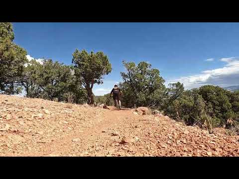
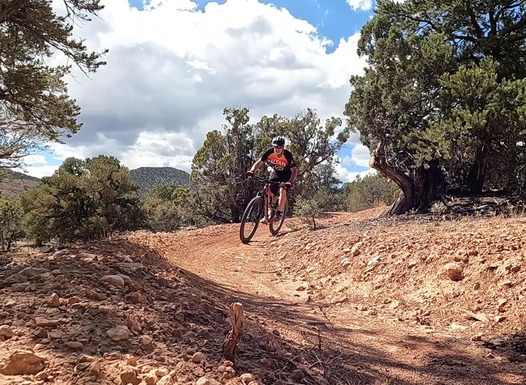
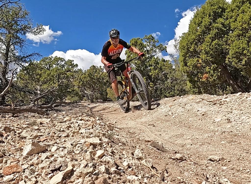
Bruce rolls a gentle turn on the descent.
Desert Mound

The Desert Mound trail is located several miles east of Cedar City near the Iron Springs resort. It opened in 2026, with its primary purpose being a shuttled downhill trail. However it's officially a two-way trail, so many riders choose to climb directly up the trail and ride it as an out-and-back.

Desert Mound is part of the Iron Springs trail system. For information on the other rides at Iron Springs, see the pages for the Iron Springs cross-country trails and the Iron Springs DH trails.

Trail review and video by Bruce on September 25, 2026.
Desert Mound is 3.3 miles in length with just under 700 feet of climbing (and descending). The unmarked upper end is found along the Desert Mound Road right at Eight Mile Pass at 6050 feet elevation, while the lower end is marked by an iron arch along the Iron Springs Road around 9 miles from I-15 in Cedar City.
We're about to dip through this wash. Nothing too       tricky.
We're about to dip through this wash. Nothing too tricky.
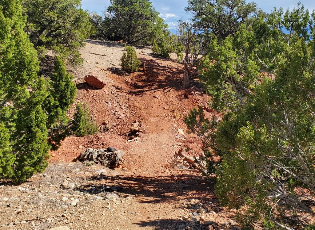
Desert Mound is two-way. Here's a slightly steeper       pitch as the trail hits a granite outcrop.
Desert Mound is two-way. Here's a slightly steeper pitch as the trail hits a granite outcrop.
Overall, the Desert Mound trail is easy riding. There are some low jumps built into the trail, but you can roll any of them in the downhill direction. (Some of these spots are hard to pop up-and-over when coming uphill, and in 2026, adequate ride-arounds haven't been established for many of them. A strong intermediate rider should easily clean everything.)
You'll encounter some mild bang-over rock gardens and three or four spots of deep course-grained sand that can make you bog down or fishtail.

Especially if it's rained recently, the trail can be hard to see in a few areas. Just keep the bike rolling in the same direction, and you'll quickly spot the riding line before the next turn.
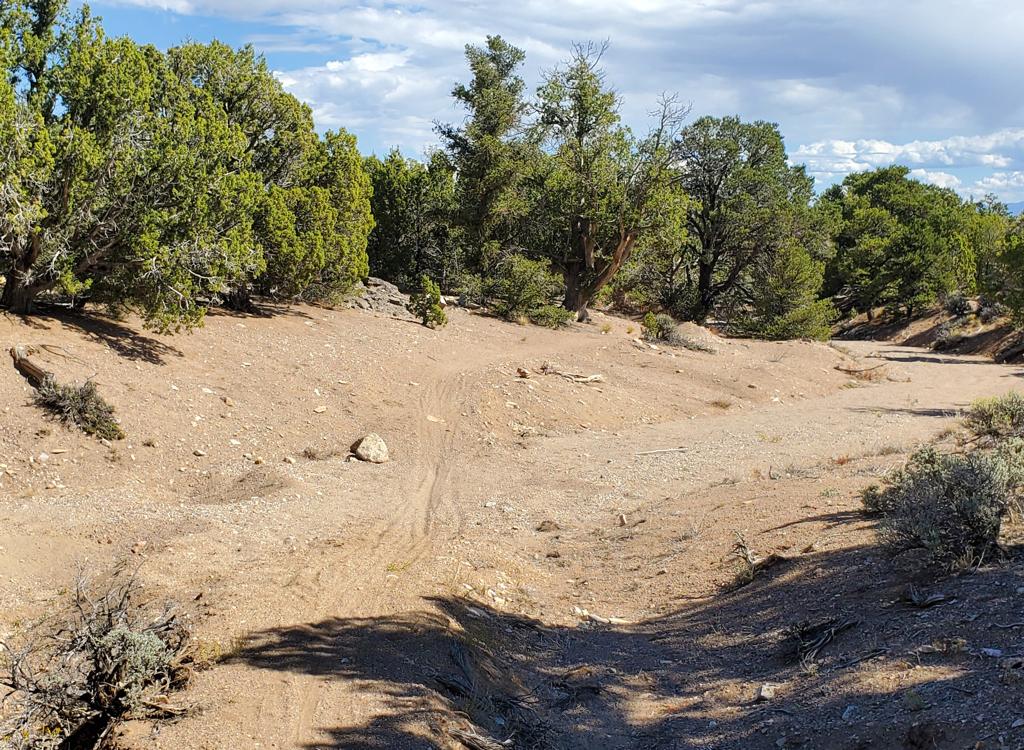
The main wash has some deep sand of kitty-litter       character that can throw you.
The main wash has some deep sand of kitty-litter character that can throw you.
Trailhead and shuttle information
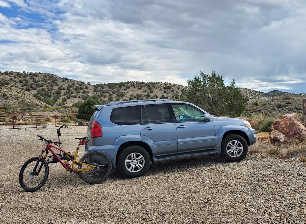
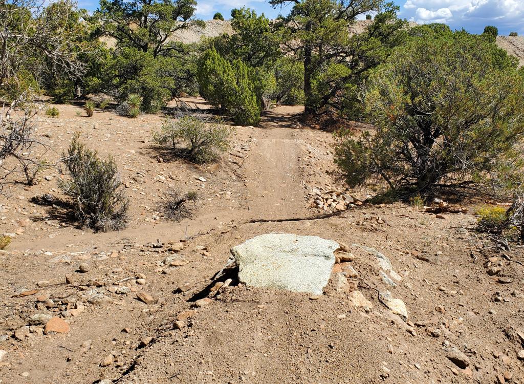
Main trailhead. The outgoing trail for other Iron       Springs trails is on the hump of dirt by the big rock in front of my car.
Main trailhead. The outgoing trail for other Iron Springs trails is on the hump of dirt by the big rock in front of my car.
Main Iron Springs trailhead

At the Cedar City 200 North Exit from I-15, go westbound on Highway 56. After 4.4 miles, just as the road is turning from straight west to southwest, turn right onto the Iron Springs Road (1740). Drive another 4.4 miles. As you see the big Iron Springs sign and flags on your left, look for a big gravel parking lot 200 yards ahead on your right. Turn into the parking lot and turn right to park along the eastern side. From here, pedal your bike back 0.3 miles east toward Cedar City and find the arch at the bottom of the trail. If you're shuttling, go a total of 1.6 miles to find the Desert Mound road on your right.
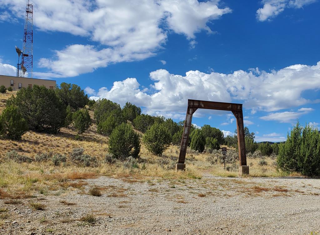
Bottom of the Desert Mound trail, looking southwest       from the road.
Bottom of the Desert Mound trail, looking southwest from the road.
Shuttle bottom

On Iron Springs road 4.1 miles from the turnoff, spot the radio tower on the small hill on your left. Just after you curve around the hill, look for a large iron arch and a patch of gravel. That's the bottom of the trail, with some primitive parking for your bottom shuttle vehicle.
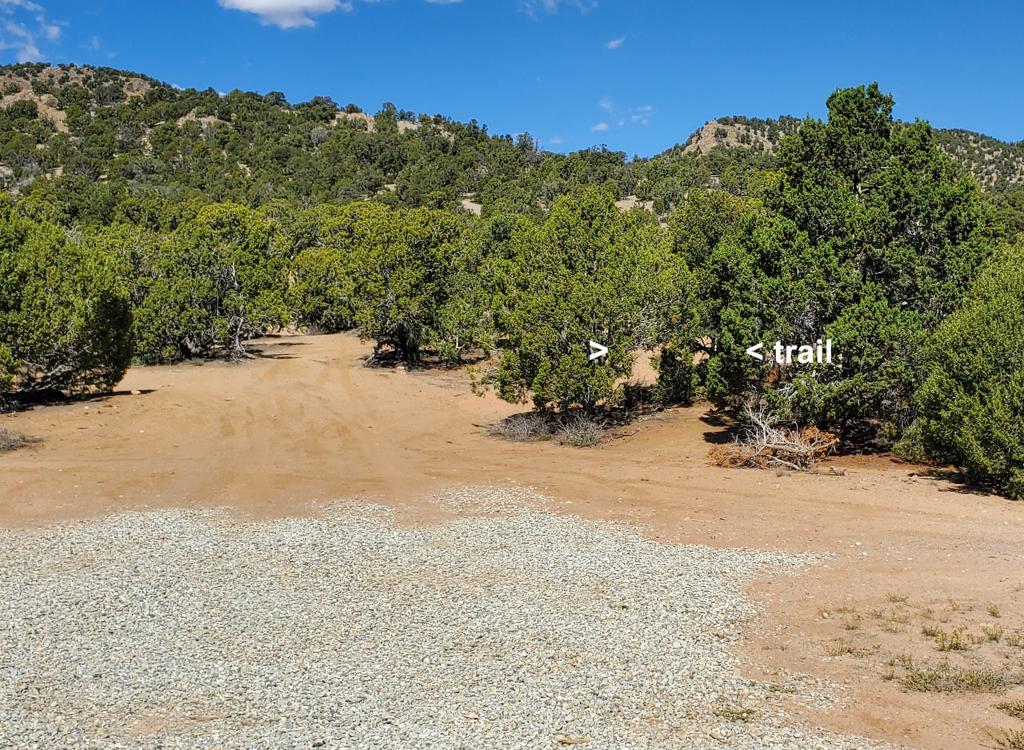
Here's the spot you're looking for! We're looking       straight north.
Here's the spot you're looking for! We're looking straight north.
Shuttle top

From the bottom of the trail, drive 1.3 miles east (back toward Cedar City). It's 1.6 miles if you parked at the main Iron Springs trailhead. Turn to the right at the paved Desert Mound Road to Eight Mile Pass. Climb 2.6 miles and just as the road reaches the crest of the pass, spot the gravel area on your right. (In 2026, there's no sign that's visible from the road.) Find a spot to park. The trail is in a break between junipers, ahead and to the right of the gravel patch.
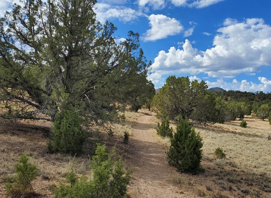
Desert Mound trail details
Beginning the trip uphill!
Uphill direction!

The bottom of Desert Mound is in a barren area of junipers scattered in gray clay. The pitch is usually very mellow, making this a reasonable climb even if your legs are trashed from previous rides.

I found the riding lines pretty well-packed. But if you get one foot off the trail, your tires will probably bog down and you'll stop or fishtail.
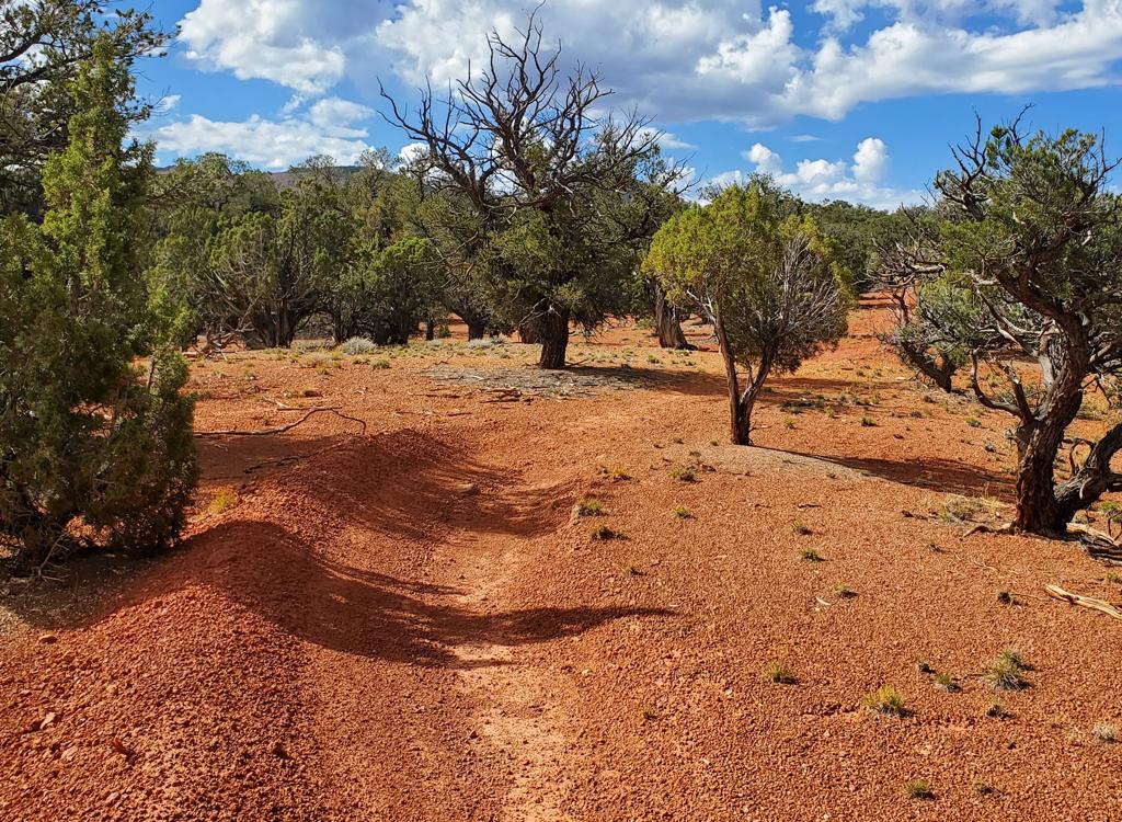
You'll pass through zones of red and orange chunk. Most curves have banks, which is good because in flat areas the trail can be hard to see in these spots. But as mentioned above, if you don't see the trail just keep riding straight forward and it will soon re-appear.
The trail has changed to rusty chunk as we continue       our climb.
The trail has changed to rusty chunk as we continue our climb.
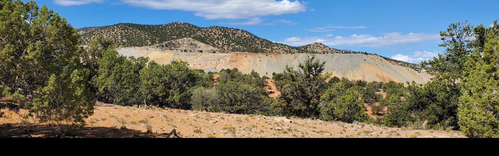
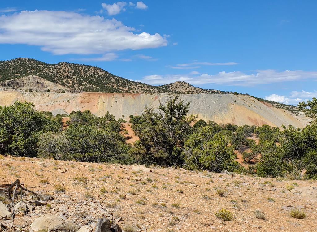
View from the trail of the Lindsay Hill mine       tailings.
View from the trail of the Lindsay Hill mine tailings.
A climb is a better way to take in the scenery, such as the tailings piles from the Lindsay Hill and Armstrong mines. In the late 1800s, Iron County was Utah's source of iron. Deposits of high-grade magnetite and hematite were mined and smelted here, under the orders of Brigham Young, who designated this area as the "Iron Mission" to dispatch Mormon settlers to work these deposits.
Downhill!

Find the trail at an opening in the junipers at the summit of Eight Mile Pass as discussed ablve. A sign attached to a juniper confirms that it's the correct path.

Most likely, the trailbuilders deliberately obscured the trail's origin to keep rule-breakers on motorcycles and ATVs from noticing the path.
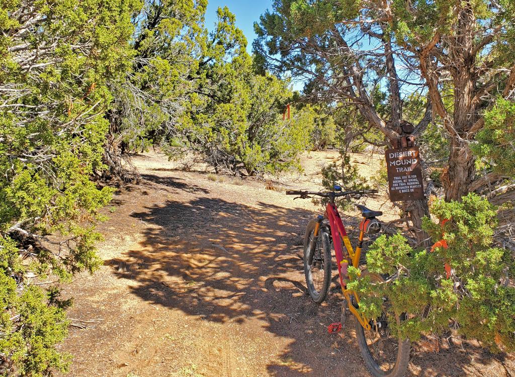
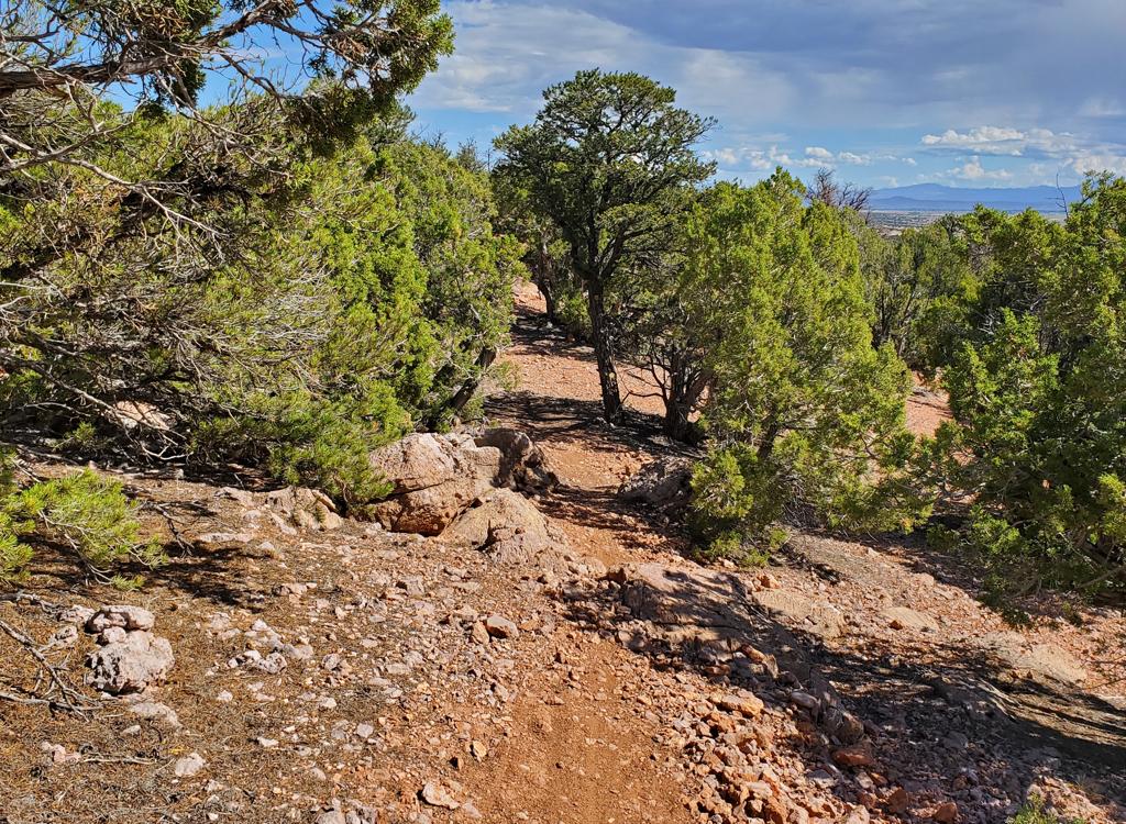
We're at the uphill end. But we'll actually climb a       bit before it turns downhill.
We're at the uphill end. But we'll actually climb a bit before it turns downhill.
Looking north as the trail rolls down a ridgeline.
There will be a short and mild initial climb. Like the rest of the trail, the dirt will change from orange to gray and back. At this higher elevation, the trees are a mix of juniper and pinion pine.

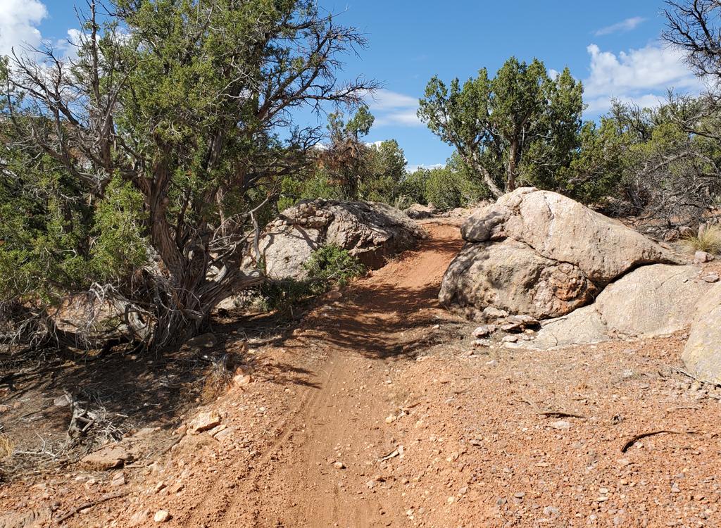
Begin working your way downhill. Much of the path is straight and smooth. The rate of descent won't impress DH fans, and the few stunts that are built into the trail are easy.

There are a couple of dips through washes. A normal rider should have plenty of momentum to carry the bike up the other side. There's no reason to apply brakes here.

The main wash crossing, around 1/2 mile from the top, has deep course grains like kitty litter. There are a few other spots of sand on the downhill that can easily throw the unwary off-line into a bog-stop or fishtailing fall.
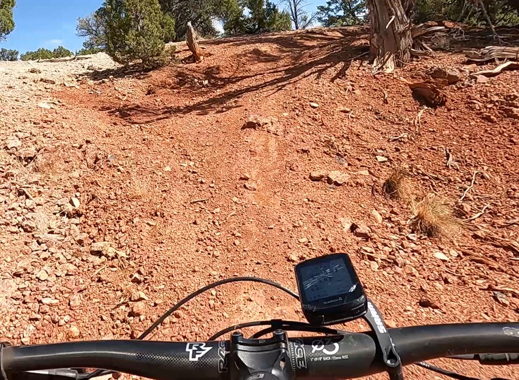
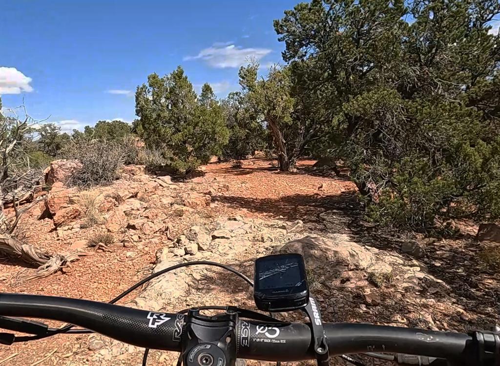
We're hitting the wash bottom and now will rocket up       the other side.
We're hitting the wash bottom and now will rocket up the other side.
Running through a short rock garden on the ridge.
As the trail skirts the Armstrong mine tailings, you may notice some dark-black rock amidst the chunks of limestone. They're surprisingly heavy. Most of this is slag from smelting, but you could score some hematite if you look around.

When the trail hits a ridgeline, you'll have a short region of occasional bumpy rock outcrops. This region is a mix of limestone bedrock and the granite intrusion that brought the iron deposits.
There will be a few jumps. Most are only about a foot tall and are easily rolled. There is one stunt that counts as a "gap jump" where you're expected to clear enough distance to land on the slope into a shallow wash. There's a ride-around here, so if you're a noob I suggest you take it.
Approaching a jump that has rock slab to preserve the       lip. This is *sort of* a gap jump.
Approaching a jump that has rock slab to preserve the lip. This is *sort of* a gap jump.
The trail is always changing colors!
Overall, the downhill is quick and easy. Turns are banked nicely in most spots, and this prevents your tires from sliding out on the chunky surface.

Features are easily visible as you approach them. It's a pretty friendly trail.
Descending Desert Mound

[Back to video list ]
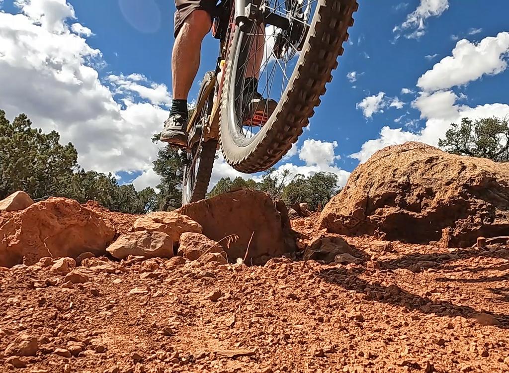
Bruce takes a tiny bit of air along the trail.
Bottom Line!

Nice ride, suitable for any ability level. Kids with small tires will probably need to walk their bike through the short areas of rock outcrop.

Shuttle bottom: mile 4.1 on Iron Springs Road

Shuttle top: Desert Mound Road at mile 2.8 on Iron Springs Road, then 2.6 miles to right side of road at Eight Mile Pass.

Water at Iron Springs trailhead. No public bathroom (resort, campground, and restaurant facilities are for customers)
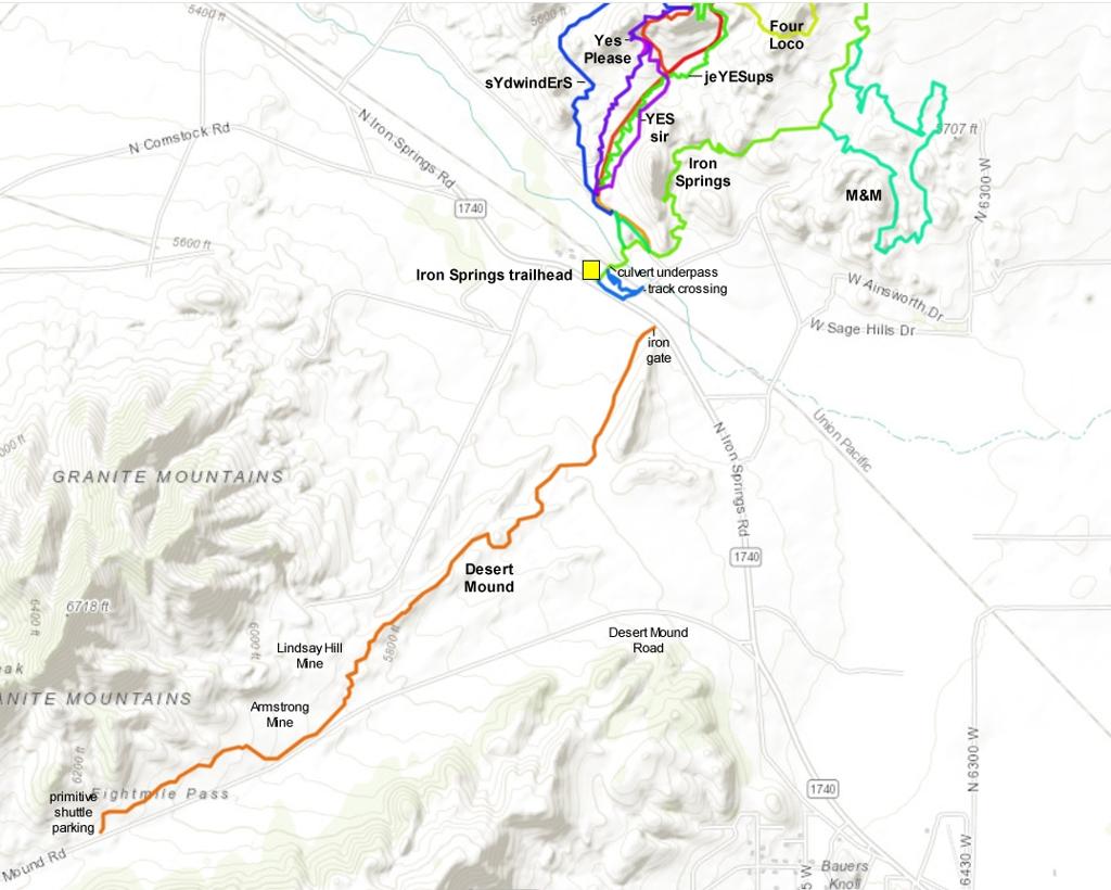
Map south of main Iron Springs area
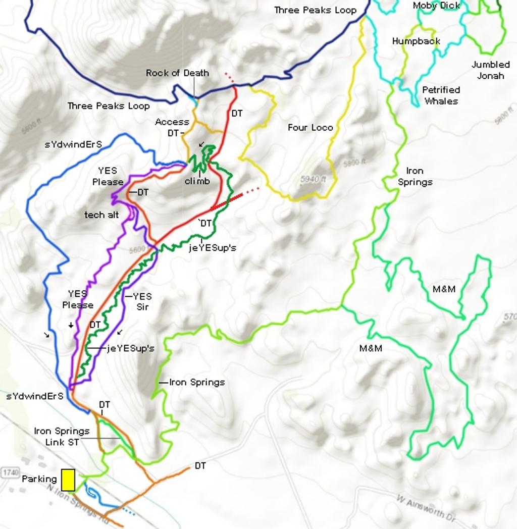
Bonus map of main Iron Springs trails with connections to Three Peaks.
Getting there:

At the Cedar City 200 North Exit from I-15, go westbound on Highway 56. After 4.4 miles, just as the road is turning from straight west to southwest, turn right onto the Iron Springs Road (1740). Drive another 4.4 miles. As you see the big Iron Springs sign and flags on your left, look for a big gravel parking lot 200 yards ahead on your right. Turn into the parking lot and turn right to park along the eastern side. The outgoing trail starts on a broad dirt path alongside the paved Iron Springs Road. As soon as you pedal up onto this dirt path, immediately turn 90 degrees left onto singletrack. Descend into the wash and go through the tunnel under the railroad tracks. Follow the signs as the ATV path and bike trail split. (You can take the ATV path to the left to reach the DH trail system, or wait until Iron Springs crosses a dirt road and turn left there. To climb Iron Springs, just follow the signs.)