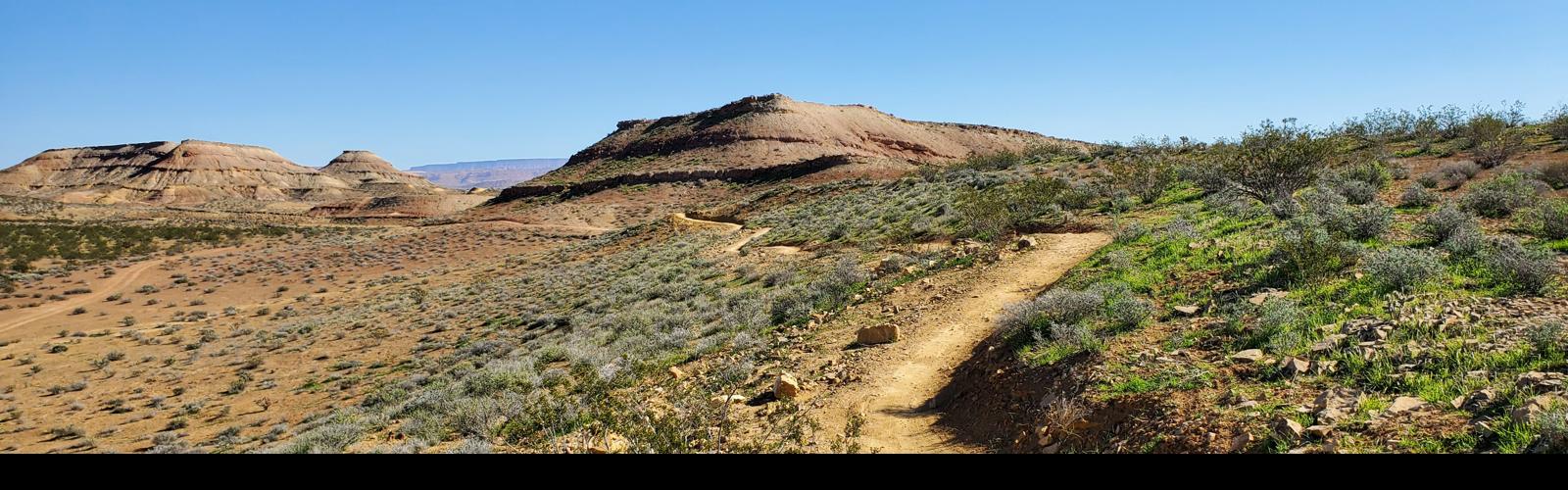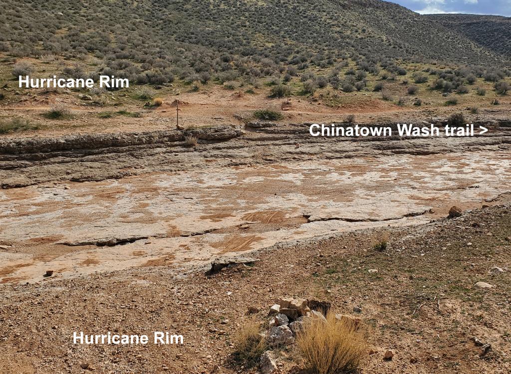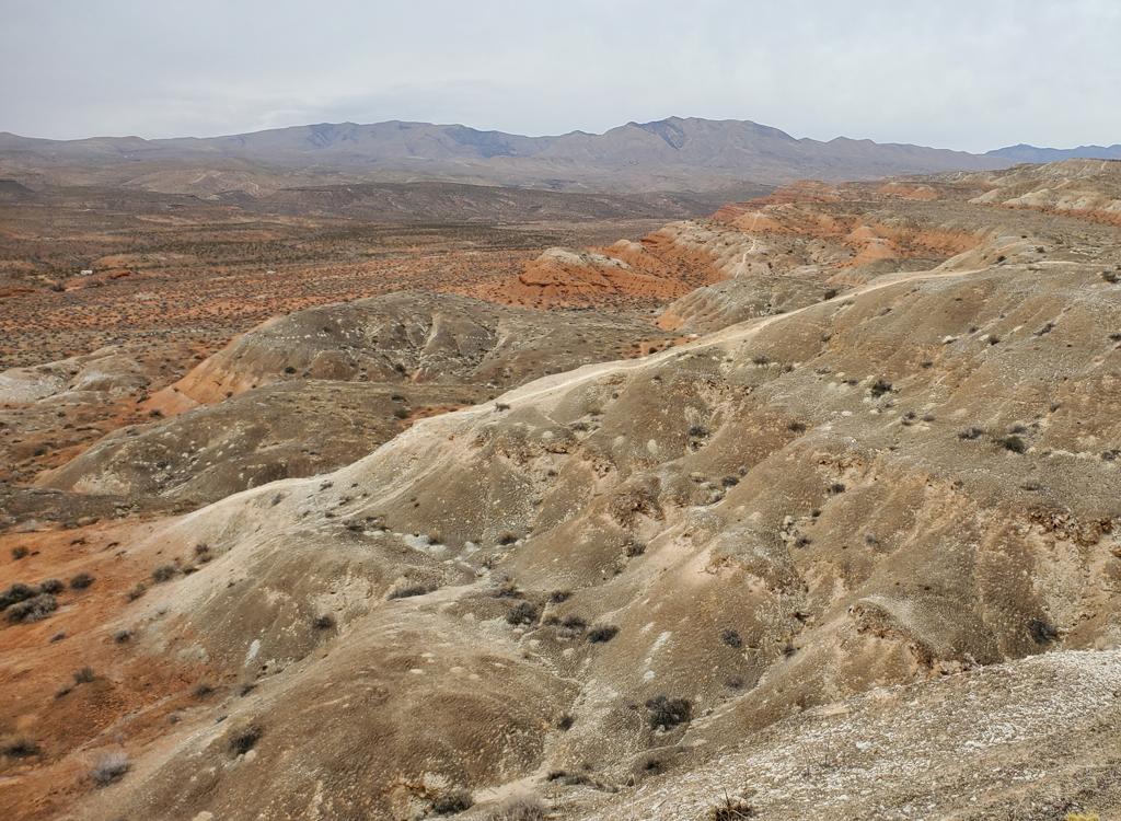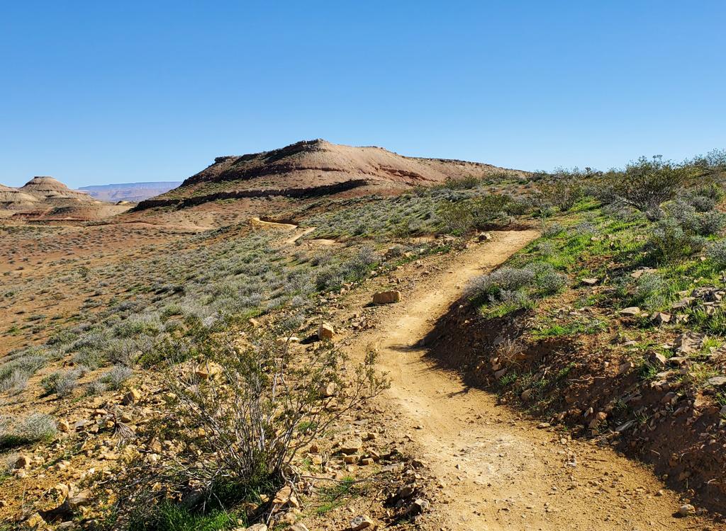
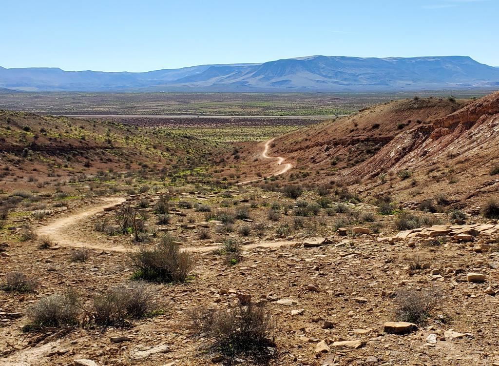
Looking northeast on the Desert Crawler loop.
Desert Color Trail SystemThe Desert Color trails are located at the far southern end of St
George, just west of River Road and north of the Southern Parkway. The
trail system is a complex set of loops and connectors that creates a
gazillion riding combinations. The trail system is new in 2026. It's
already used as a NICA racing site, so there's a huge parking and staging
area.
Checkout ride, photos, and video by Bruce on November 12, 2026.
I count 15 individual trails in the system, plus an
alternate tech line on the Rock Hound loop. The trails add to around 8
miles in distance, but it took me 10 miles to hit everything. There are 5
named loops in the system, but the connector trails also form loops that
you can readily ride.
The multiple loops, alternate connectors, and closely-spaced trail
forks make the system complex for a newcomer. Navigation will be
challenging on your first trip. It's a ton of trail forks crammed into a
very small area.
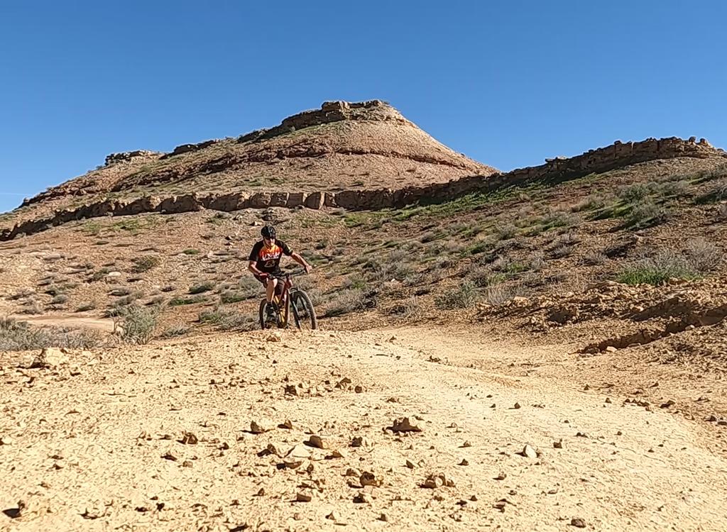
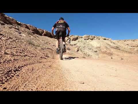
Bruce cruises past typical Moenkopi formation layers. Bands of sandstone act as cap-rock to form mesas, with colorful clay in between.
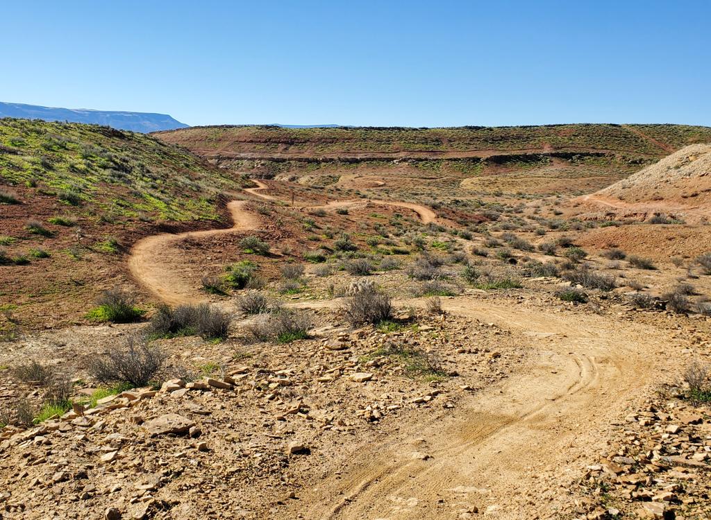
Looking south on a counter-clockwise ride of the Mulberry Bush loop.
Each trail has very little elevation change. My total
climbing was around 1000 feet on a total of 13 miles. The riding is only
strenuous if you're hammering down in race mode. (Skinny racers who rely
on steep climbing to win -- high power to weight ratio -- won't do as well
here.)
All trails are open for two-way riding. You'll find that many riders
are going in the direction of the race loop. Overall, that ride is
counterclockwise. Mulberry and Desert Crawler go in the counterclockwise
direction, entering and exiting on connectors without fully finishing a
loop. (Turns go to the right.) Then after descending lower In-Between and
Prickly Path, the race loop takes a left turn onto Rock Hound -- doing
that loop clockwise -- before dropping off that loop with another left
turn to head back to the staging area.
At the time of my ride, carsonite posts were in place at
every intersection, but they were still waiting for trail names. Because
the terrain tends to look much the same throughout the system, it can be
tricky for a rider to know if he's at a new trail fork or one he's ridden
before. And while the main Desert Color trails were already on Trailforks
for my check-out cruise, a few of the connecting trails were not.
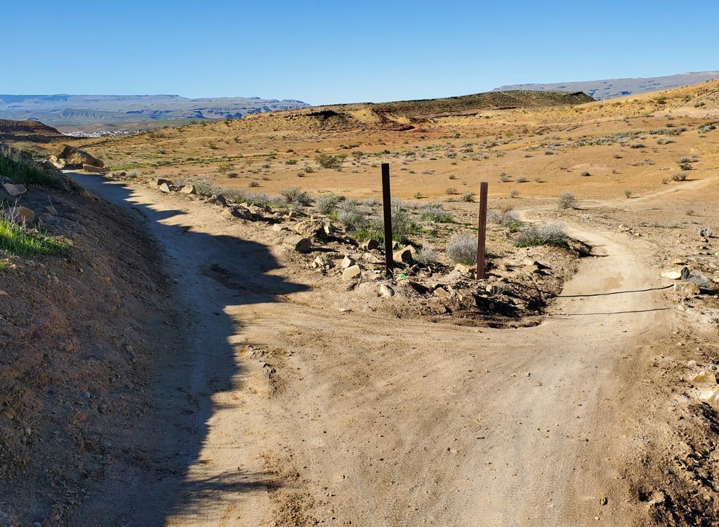
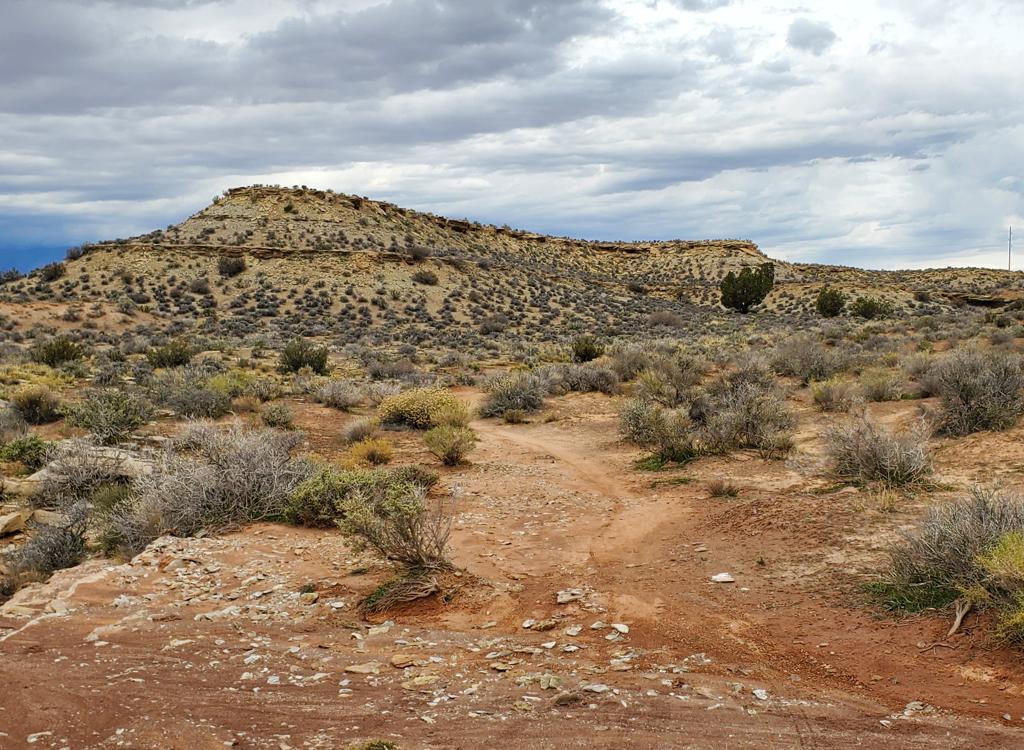
Typical trail fork, as Coyote Crossing branches away from Dust Devil. The carsonite posts were still waiting for stickers.
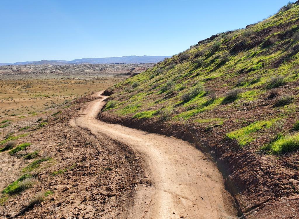
A look down a north-facing slope shows new growth from recent rains. On my ride, there was significant rutting in isolated spots of Dust Devil and Coyote Crossing.
The area is sun-exposed and will be toasty in the summer. It
will be pleasant for late-fall or early-spring riding. But most trails in
the system have long stretches of Moenkopi-formation clay, which becomes a
nightmare when soaked. You'll want to avoid these trails for a few days
after any soaking rain, and during January when the freeze-thaw cycle
affects the damp clay.
This trail system offers no real challenges for expert
riders. Bikers who are looking for a Gooseberry-type experience will be
disappointed. And while the terrain isn't ugly, the views are not epic.
But even a hard-core rider sometimes needs easy miles.
Families and beginners will really enjoy riding here. Desert Color is
close to the city, so a ride is easily inserted into a busy vacation
schedule. It's a pleasant cruise, and if you're a fan of colorful rock and
dirt, there's plenty of that.
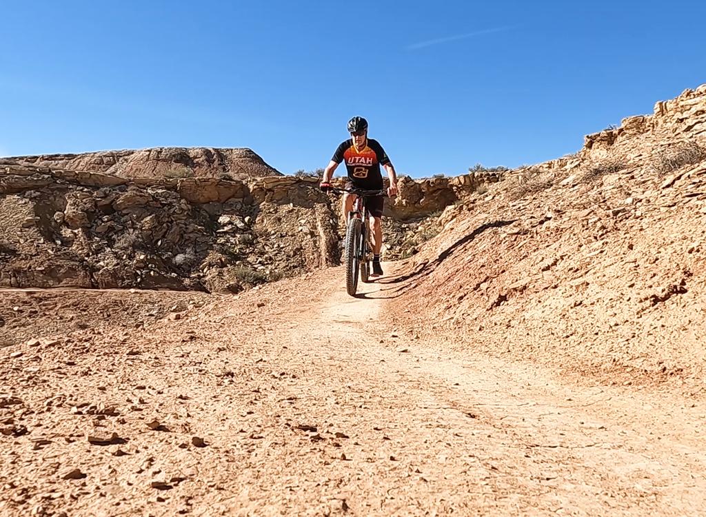
Bruce rides the eastern side of Desert Crawler.
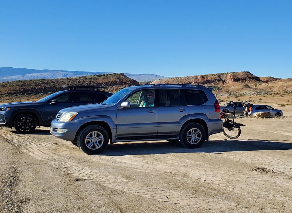
Looking south in the parking zone, north of the race support area.
Drive south on I-15 to exit 2 (Southern Parkway, SR 7, St
George Airport). Make a left turn from the exit to head east on SR 7. In
around 3 miles, exit to River Road. Turn left to go north 1.8 miles. At
the White Dome nature conservancy, turn left. Drive through the first
parking strip and follow the dirt road west for 1/2 mile and turn right
into the big parking zone. The trail entry is the doubletrack on the
uphill (west) side, where southern border of the parking lot meets the
north side of the broad race staging zone.
No toilet facilities or water were in place at the trailhead at the
time of my review.
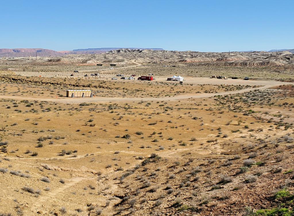
View from the Rock Hound loop, showing the race staging area and the doubletrack lap link.
A second entry to the trail system is found at the
southeastern (downhill) corner of the race support area. Aim for the small
wash as it passes through a small ridge of clay. Here you can connect to
singletrack that will take you west to the Rock Hound loop.
You can also take the broad cindered doubletrack uphill until it meets
the northern doubletrack near the entry to the Dust Devil loop.
Dust Devil (beginner or warm-up loop)
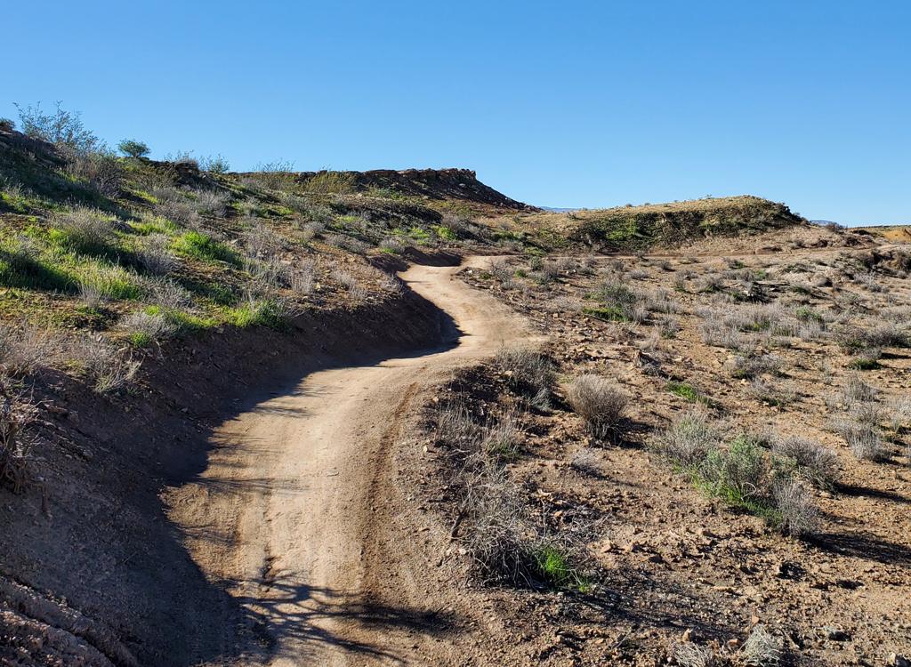
Curving around the northern side of Dust Devil, going counterclockwise.
Dust Devil is an easy 0.5-mile loop around a mesa on the
northeastern corner of the riding area. This is the first trail you
encounter when heading west uphill from parking.
The trail is curvy but flat. The riding surface is broad, suitable for
adaptive cycles and bike trailers. The surface is hard clay with no
embedded rock or ledges.
Riders can do a full loop around before proceeding (doing
the northern side of the loop twice), or veer off onto Coyote Crossing to
proceed west through the trail system.
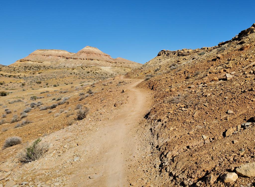
The western side of Dust Devil, as you'd see it on a clockwise ride.
Coyote Crossing (beginner loop)
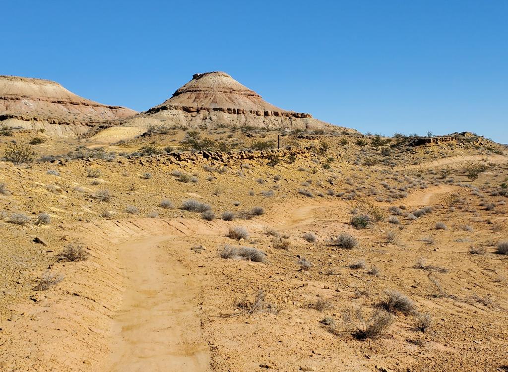
Heading north on Coyote Crossing (counterclockwise).
Coyote Crossing forms a loop on the western side of Dust
Devil, using 0.1 miles of Dust Devil to complete a 0.5 miles circuit.
Coyote Crossing begins and ends on the western side of the Dust Devil
loop.
Like Dust Devil, Coyote Crossing is a very easy trail, with
only trivial amounts of climbing and descending. The surface is hard-pack
clay, with no ledges or technical challenges.
Again, you have the option of completing the loop, riding in either
direction. Or you can hop on the connector to proceed to Mulberry.
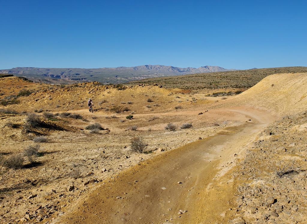
Looking southwest on Coyote Crossing. Note the dampness of the trail.
Coyote to Mulberry connector
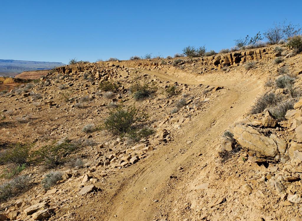
Heading uphill from Coyote Crossing to Mulberry Bush.
At the northern tip of Coyote Crossing there's a trail fork
with a short connector trail up to the Mulberry Bush loop trail.
The connector is 0.1 miles long, rising gently from Coyote to Mulberry.
Mulberry Bush (easy-intermediate loop)
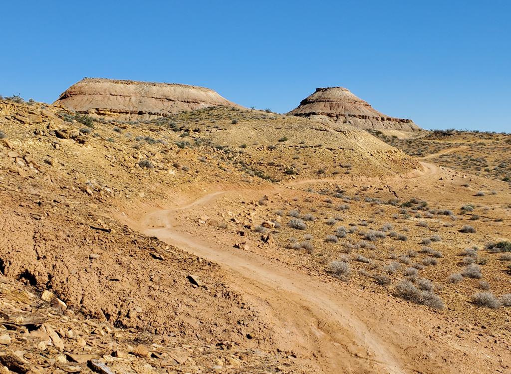
On the eastern side of Mulberry Bush, heading north (counterclockwise).
Mulberry Bush is the northernmost trail in the system,
forming a loop that's 1.2 miles around. Mulberry bush is more narrow than
Dust Devil and Coyote Crossing, but is also smooth and easy to ride.
Mulberry Bush has a set of sloping banked turns on its western side,
which raises its tech rating to easier-intermediate. There's also a bit of
climbing and descending, but it only adds up to around 80 feet over the
1.2 miles of the loop. Mulberry can easily be done by a beginning rider.
The Mulberry Bush loop has four connectors that branch away
from it. On the eastern side are trail forks for a short connector to
Coyote Crossing, and a bit to the south is the In-Between trail, which
heads down into the wash to connect to Cactus Crawler (then on down to
Prickly Path).
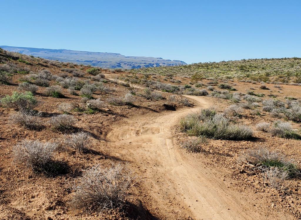
Heading back southwest. Most of the trail is flat easy cruising.
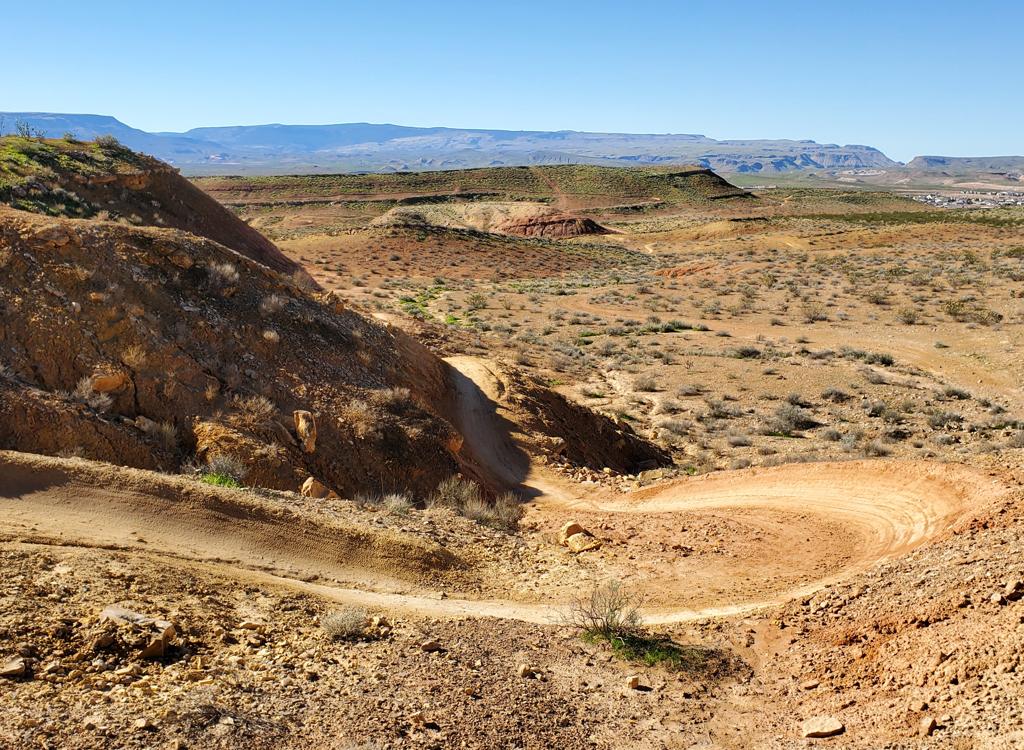
Dropping into a set of fun high-speed turns.
On the west side, Mulberry Bush has a fork for the northern
end of Crawler. A bit further to the north, another trail fork yields a
trail (name unknown) that passes around a tiny mesa to connect to the
Desert Crawler loop. This trail is the exit point of the Race Loop from
Mulberry.
The In-Between (inter-loop connector)
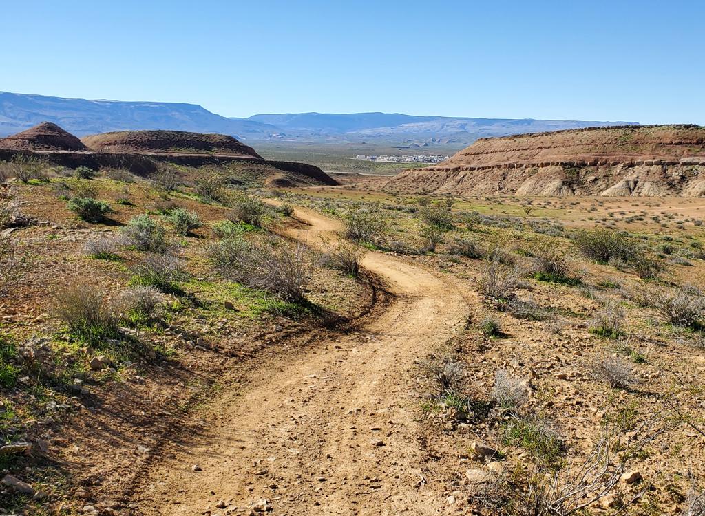
Looking south down In-Between as we cruise away from Mulberry.
The In-Between trail links the Mulberry Loop to the far
south side of the trail system. It ends at the Prickly Path trail. It's
0.7 miles long, with a steady descent of 70 vertical feet from Mulberry to
Prickly Path.
From Mulberry, the first 0.4 miles are smooth dirt. Then
In-Between forks to the left as it meets the bottom of the Cactus
Connector trail. At this point, the trail becomes a slightly rough path on
ripple-stone in the bottom of the shallow wash.
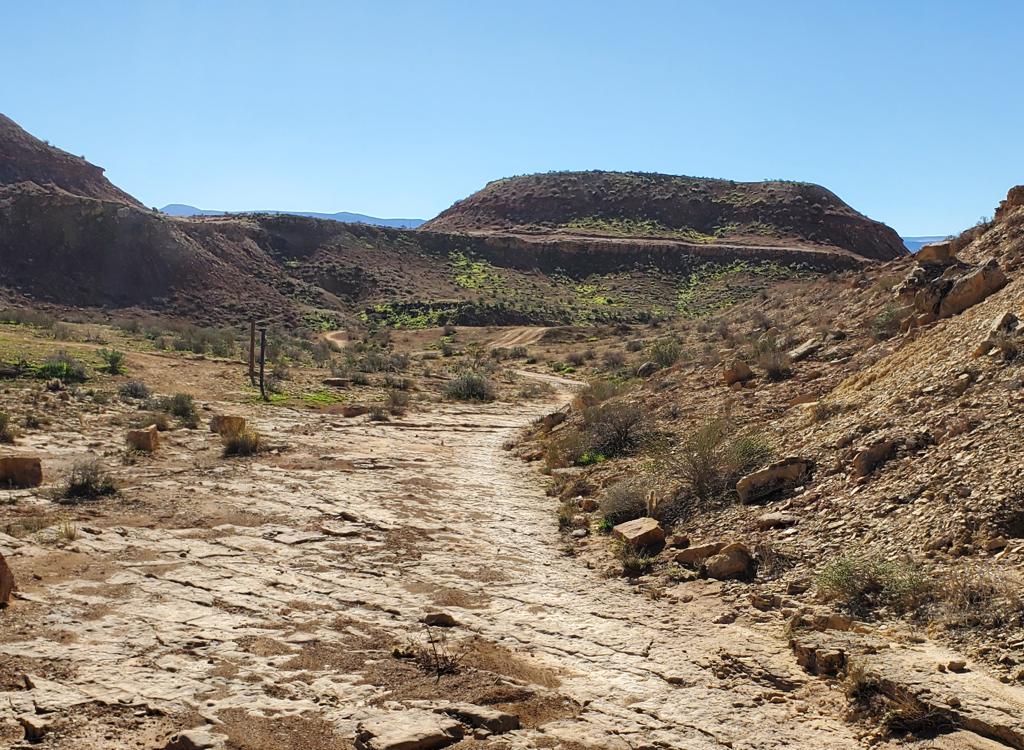
When In-Between hits this rock-bottomed wash, it turns 90 degrees to the left (downhill). We're actually standing on Cactus Crawler, with the trail fork visible at mid-left in the photo.
Cactus Crawler (inter-loop connector)
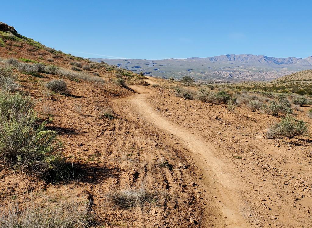
From the south, Cactus Crawler rolls uphill over some tidal-flat rock then heads northwest as singletrack.
Cactus Crawler is a connecting trail that links three
trails. On the south it starts at the middle of In-Between. Then it climbs
to connect to the Desert Crawler loop. At that non-intuitive intersection,
Cactus Crawler turns to the right and northbound to link up to the western
side of the Mulberry Bush trail.
Cactus Crawler is 0.4 miles in length, with 0.2 from Mulberry to Desert
Crawler, and 0.2 from Desert Crawler to its lower end on In-Between.
Desert Crawler (intermediate loop)
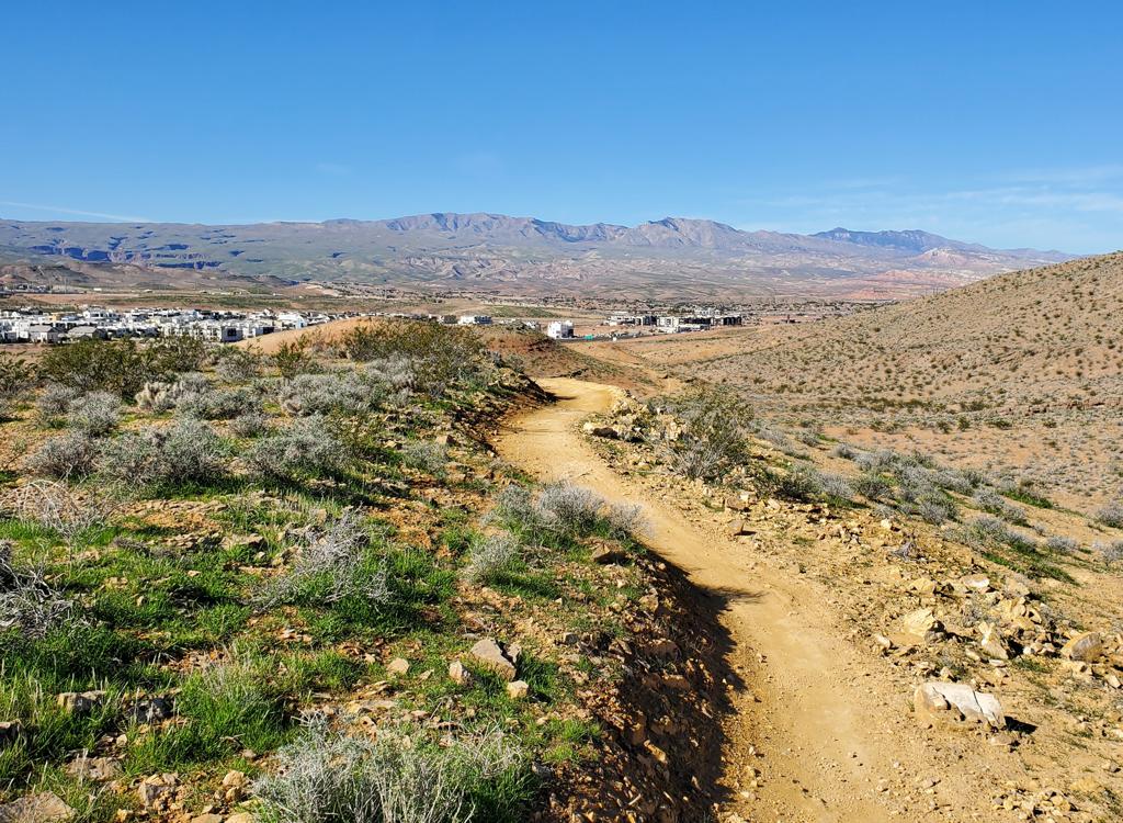
Approaching the western tip of Desert Crawler on a counterclockwise ride.
Desert Crawler is a loop on the western side of the riding
area, 1.5 miles in length. There's a bit over 100 feet of climbing and
descending over the length of the loop.
At its northern tip, Desert Crawler connects to the middle of the
Cactus Crawler trail in a non-intuitive "X" intersection. Both
Desert Crawler and Cactus Crawler turn hard away from each other at this
intersection, rather than crossing over. (You can indeed cross over, but
when you do, you're on a different trail.)
Desert Crawler has two "summits." It reaches a
high point at its western tip, where there's a view of the Desert Color
community. The lowest spot is at the trail fork with Prickly Path, then it
steadily climbs around the eastern and northern side before doing a quick
descent down to the intersection with Cactus Crawler.
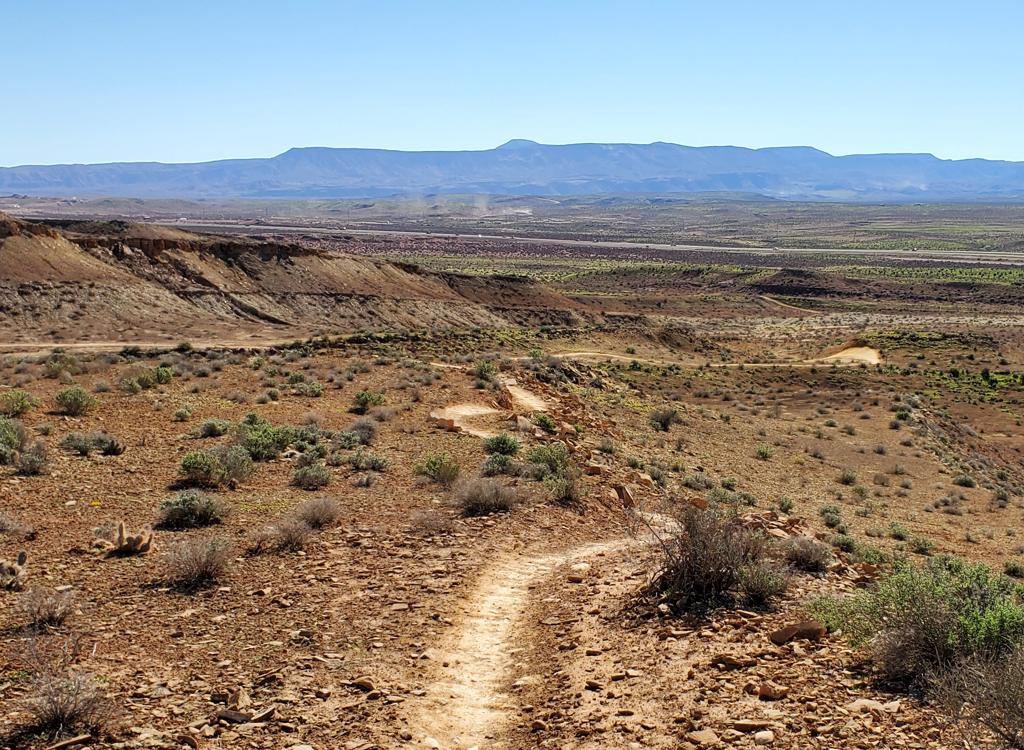
Descending along the southern side of the loop.
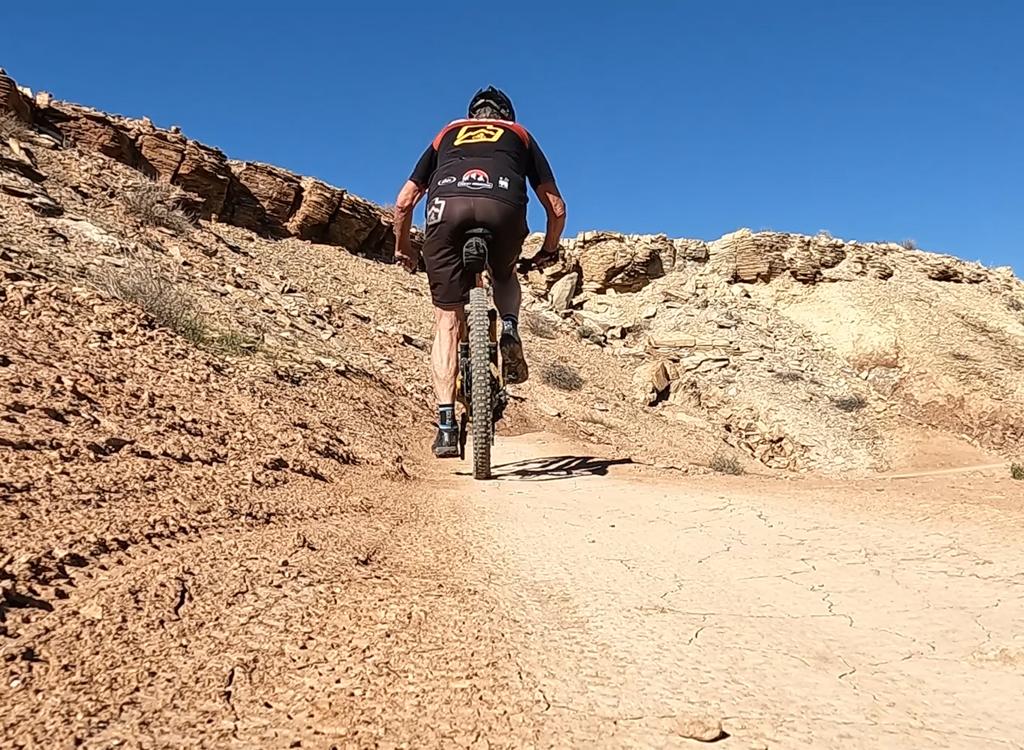
Climbing a gentle slope north on the eastern side of Desert Crawler.
In addition to the "perhaps confusing" fork with
Cactus Crawler on the north side and the the fork with Prickly Path at the
southern tip, there's a short connecting trail from In-Between that climbs
up to the loop.
Desert Crawler has a bit more rock in the trail surface that
the other trails, but it's still 90% hard clay. The only "rock
garden" is a man-made section of boulders that you can readily bang
across.
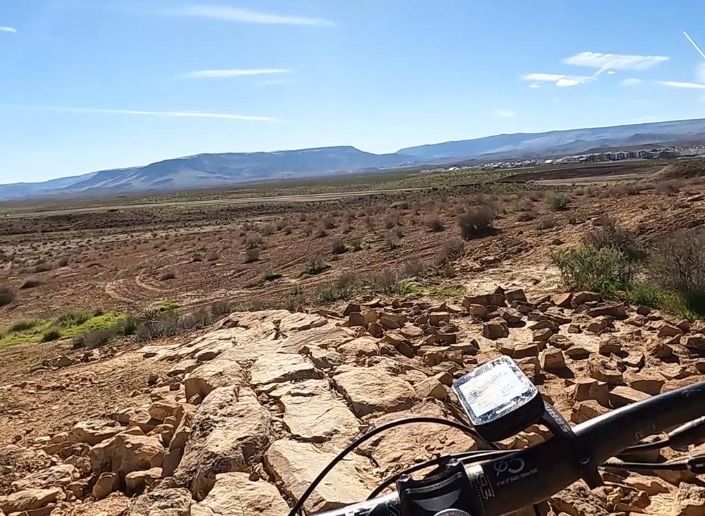
Handlebar view of a man-made rock strip on Desert Crawler.
Prickly Path (inter-loop connector)
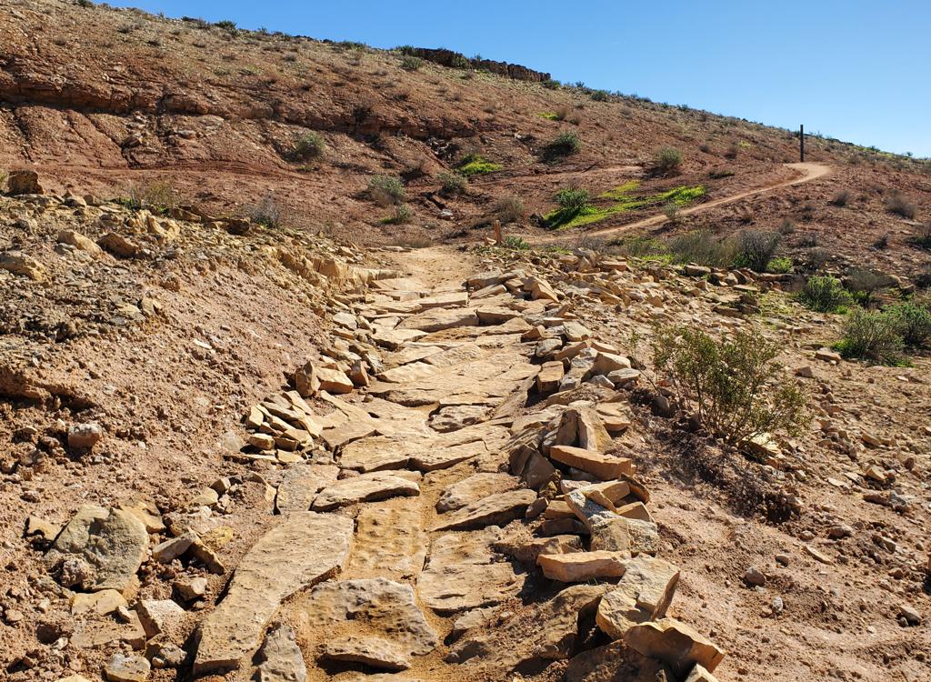
Rock challenge on Prickly Path. Rock Hound is at the trail-post at upper right.
Prickly Path is a short connecting trail that forks away
from the southern tip of the Desert Crawler loop. It immediately has a
trail fork with the downhill end of In-Between, then continues east to the
Rock Hound loop. Just before it reaches Rock Hound, there's a trail
forking away to the right. This trail (name unknown) descends to an old
doubletrack that's a return route to the trailhead.
Prickly Path is 0.2 miles long. In the west to east direction, there's
a man-made rock-scramble climb. I thought it was pretty easy, but it
raises the rating for Prickly Path to intermediate.
Rock Hound (intermediate loop)
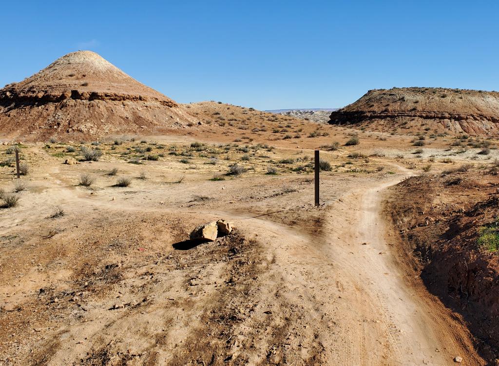
Coming into an A-B split at the top of Rock Hound. The easy line is to the right.
The Rock Hound loop is 0.8 miles long, with only around 60
feet of climbing and descending. There are a couple of technical spots
that earn Rock Hound an intermediate tech rating. But these are short and
easily walked by a beginner.
Rock hound features two man-made rock gardens. One will be
uphill and one will be downhill, whichever direction you ride. The
clockwise direction is, I think, a little tougher.
There's a tech A-line at about 0.2 miles when riding clockwise (just
after the rock-garden climb). The left fork is a ledge drop that lands on
man-made rock-work. It's a tad bouncy, but is within the capability of
most experienced intermediates. The trail to the right is butter-smooth
going around the ledge.
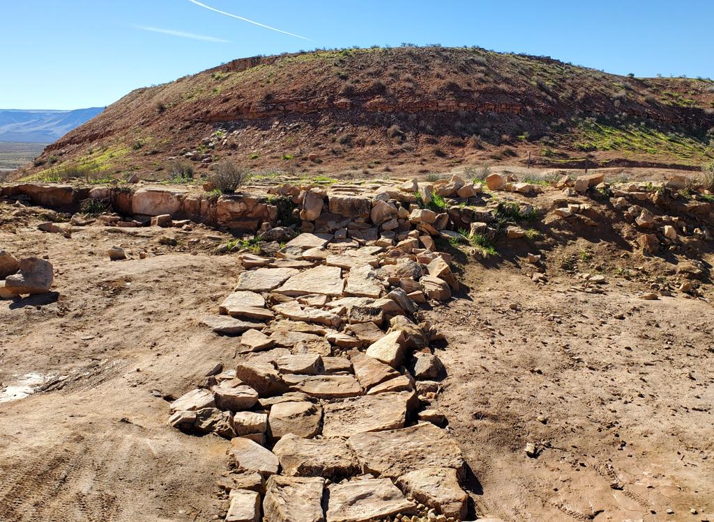
Looking back at the tech option. You can launch it, but if you make the right adjustments you can roll it.
Looking down the eastern side of Rock Hound. (You can see a man-made rock strip at far right.)
In addition to the Prickly Path trail, Rock Hound has two
other trails that exit the loop at its southern (downhill) side. The
uphill trail (the first you encounter when descending south on a clockwise
ride) is a singletrack that hugs the low hill as it heads east to the race
staging area.
The lower trail of the two trails connects quickly down to the
doubletrack (the same doubletrack that connected to Prickly Path). As you
reach the doubletrack, a left turn (which is the path taken by the race
course) takes you back to the trailhead area.
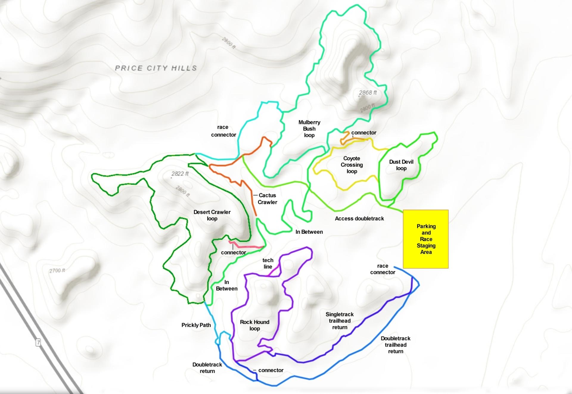
A note about the race loop!
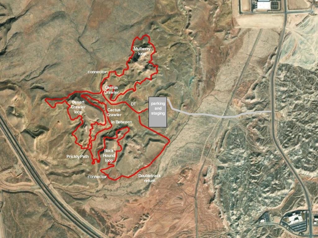
Path of the race, with trail segments as shown.
The race path climbs doubletrack to the Cactus Crawler
trail. Fork right. Fork right again at the Mulberry Loop
(counterclockwise). Exit to the right at the west-side connector and pedal
to the Desert Crawler loop. Ride almost all the way around, and drop
downhill and right to Cactus Crawler. Keep right onto In-Between. Continue
on Prickly Path up to Rock Hound, where you'll fork left. Whip around drop
off to the left onto the connector back to the trailhead.
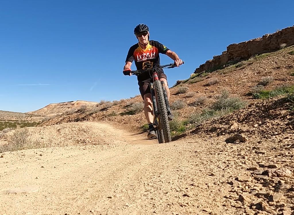
Bruce rolls along on his second lap of Desert Crawler.
Good trail system for beginners and families. A bit
confusing to navigate, but only because there are so many options. Very
little climbing and only a trivial amount of on-purpose tech.