Deadman's Ridge Trail
Deadman's Ridge is a expert-level trail in the Brand Trails complex north of Moab. It connects the southern end of the Lazy-EZ loop to the northern end of the Bar B loop. From there, it connects to the Longbranch, then descends to the Old 191 paved trail.
The trail is 3.4 miles in length. It will climb from 4200 feet elevation at the Bar B to 4500 feet, with a lot of short ups and downs along its length. It descends to Old 191 at 4100 feet elevation.


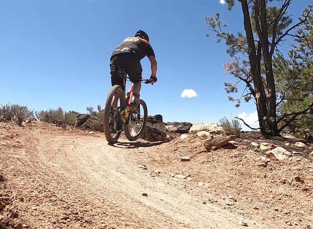
Deadman's Ridge can be done by riders with upper intermediate technical skills. Even experts may not be able to clean everything. There are short cruiser sections. But much of the trail is butt-off-the-seat attack or descent.
To reach Deadman's Ridge, start from the lower parking area. (Go past the first parking area, turn left when you reach the fence, then park in the gravel lot at the bottom of the little valley.) Head east (continuing the same direction you drove in).


After 1/4 mile, just as you begin to climb the ridge, turn right on the Lazy-EZ loop trail. At the fork 0.1 miles later, take EZ (the right fork) southbound until it hits the Bar M doubletrack. The Deadman's Ridge trail is right across Bar M from the bottom of Lazy-EZ.
The initial segment 1.7 miles in length, where a short (1/10 mile) connector joins the western half of the Bar B loop shortly after Bar B starts at the south end of the Bar M loop.


Alternate route! To start at the midpoint of Deadman's Ridge: From the southern tip of the Bar M loop, go south to the Bar B loop split and turn right to begin climbing the hill. As you reach the trail fork, keep right at the first intersection to leave Bar B. At the next intersection, go right for northbound Deadman's or left for southbound Deadman's. From the Rockin A, just cross the eastern leg of Bar B and climb up to the trail fork as above.


The next segment of Deadman's is 1/2 mile where another connector forks to the western side of the Bar B loop, about 100 yards away. Keep right to continue on Deadman's Ridge.
After another half mile (mile 2.7 of Deadman's Ridge), keep right at another trail fork on a ridgeline. Left goes to Longbranch Longbranch is a one-mile technical trail that joins the southern end of the Bar B loop near Killer B.


At the Longbranch junction, consider riding Longbranch to Bar B, then return northbound on the western side of the Bar B. When you reach the connector to Deadman's, fork left and ride the section of Deadman's again. This makes a nice loop to extend your miles.
Shortly after the Longbranch fork, Deadman's Ridge begins a curving descent down to Old 191 at mile 3.4. The descent is non-technical for the most part. And it's fairly easy to climb back up if you want to go back up to Longbranch.


To head back to town, fork left downhill on Old 191. For more Brand Trails fun, climb Sidewinder Bar M back uphill. You'll find connectors on the west side of Old 191 0.2 miles uphill and at 0.4 miles downhill from the end of Deadman's Ridge. Of course, you can always turn around and climb back up Deadman's Ridge.
It's about 0.6 miles on Old 191 to reach the south end of the Bar M loop. The grade is mellow with total climbing less than 100 vertical feet.
Sample ride, Deadman's Eight (figure 8):
0.0 East on DT from parking (lower lot!)
N38 39.107 W109 40.110
0.2 R on ST (Lazy-EZ Loop)
N38 39.188 W109 39.990
0.3 R on EZ N38 39.165 W109 39.853
1.5 L to stay on EZ N38 38.517 W109 39.400
1.6 R on Deadman's N38 38.574 W109 39.280
3.3 R to stay on Deadman's N38 38.255 W109 38.671
3.8 Stay straight (R) N38 38.072 W109 38.586
4.3 Stay R N38 37.845 W109 38.612
(L = Longbranch)
5.0 R on Old 191 N38 38.036 W109 38.905
5.2 Option: connect to Sidewinder Bar M
5.6 R at kiosk, take DT east
N38 38.414 W109 39.461
5.8 L on Lazy N38 38.573 W109 39.280
7.4 Fork R N38 39.165 W109 39.853
7.5 L on DT N38 39.188 W109 39.990
7.6 Back at parking
Getting there:
From the north, exit I-70 at
Crescent Junction and drive south on US-191 for 22 miles. From Moab, drive
7 miles north from the Colorado River on 191. When you see the Gemini
Bridges parking area, look for a gravel road on the opposite side (east,
away from the cliffs). Turn onto the gravel road and immediately go right.
Drive past the first parking lot. (This is restaurant parking or fee
parking GPS N 38° 39.38' W 109° 40.66'.) As you approach the fence and
kiosk at the paved trail, turn left and drive 1/4 mile to the gravel
parking lot in the bottom of the valley N38 39.107 W109 40.110.
Alternate: From Moab, ride the Old Highway 191 (paved trail) until you
reach the Bar M sign and kiosk. Turn left and follow the broad dirt trail,
which is the southern end of the Bar M trail.

Riding resources for this trail:
Single-page riding guide
GPS track files (right-click and "Save as..."):
GPX all Moab Brand area
trails
Deadman's
only
Deadman's
Figure 8 as above
High-res topo for printing (500 KB):
View
Lodging, camping, shops:
Links to Moab area resources