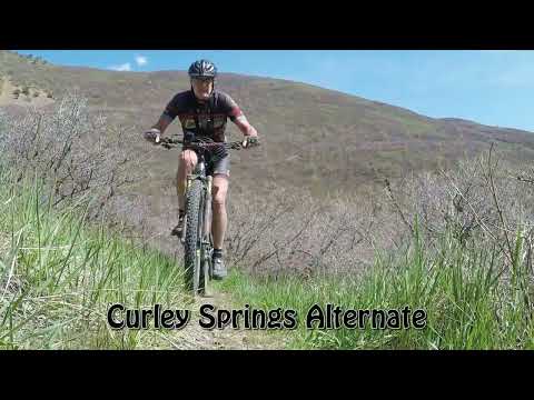

The Curley Springs mini-loop can be considered an adventurous add-on to the Crop Circles ride above Lindon. The singletrack is narrow and twisting, with unforgiving clearances with the oak brush on either side. The loop itself is 1.4 miles with around 350 feet of overall climbing. I recommend it for upper-intermediates or better.
The top elevation of the ride is 6250 feet for an expected riding season of late April through October.If you decide to ride further in this area, note that the Curley Springs main trail north of this loop is tough to ride. The surface is torn up by horses riding wet. There are very steep pitches. An out-and-back from Dry Canyon to Battle Creek would be around 1500 vertical feet of climbing just on Curley Springs alone.


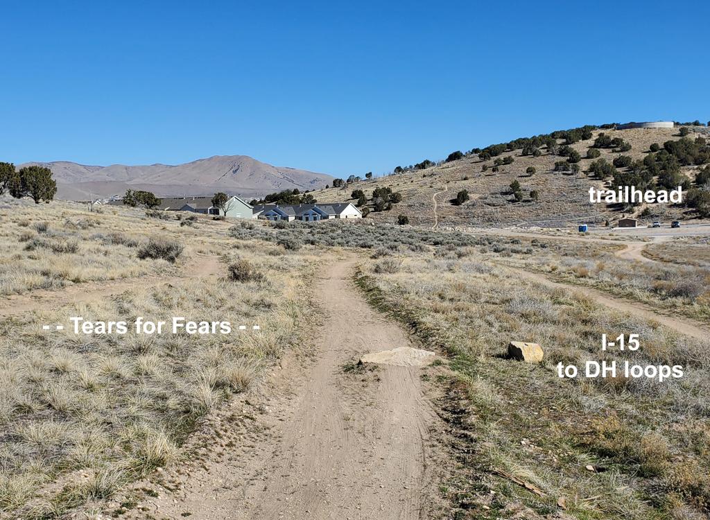
After a bit of sustained downhill as you reach mile 0.5 of the loop, you'll join the Dry Canyon trail #49. Turn to the right.
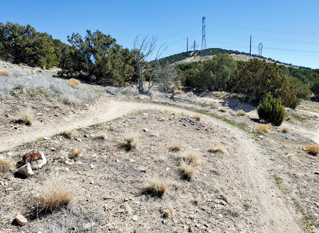
If your ride plan will take you further uphill in Dry Canyon, be aware that the Dry Canyon trail uphill from this loop becomes hike-a-bike steep in an unpleasant erosion trench.


Bottom Line!
Short adventure for those who want to go off the grid.


Getting there, Dry Canyon Trailhead:
Turn east off State Street (Highway 89) at 200 South in Lindon, which also
happens to be 2000 North for Orem. Keep straight as you approach the
mountains. When the road begins to turn right (south), turn left onto Dry
Canyon Drive heading northeast. Now keep straight uphill until the road
turns into the trailhead. The parking area is at N 40° 20.52' W 111°
40.62'.
Bathroom at trailhead.
No camping nearby.
GPX Track Files (right-click and "Save as..."):
Area multi-track master
file
Tour of Crop Circles
above BST
(5.7 miles)
Large-format map for printing:
View
map
Lodging, camping, shops:
Links to Provo
area resources