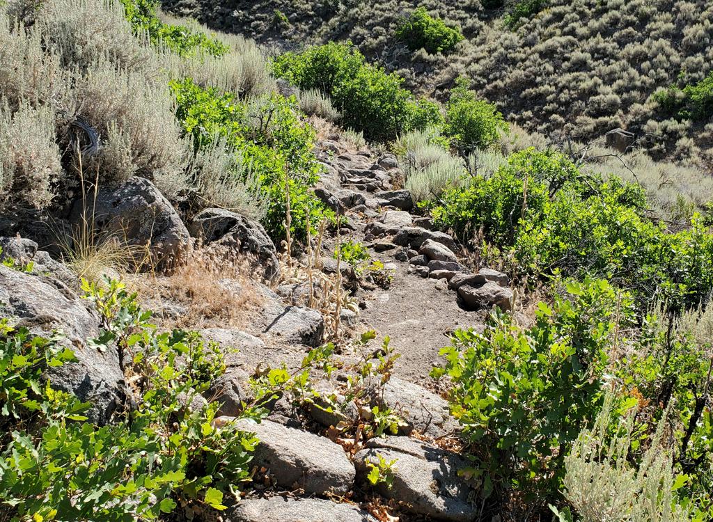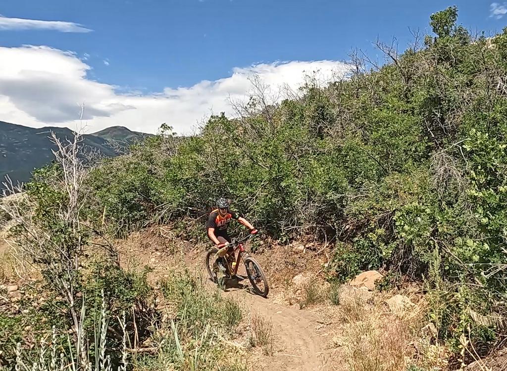
View east as we climb up Center Canyon. Ride by Bruce and Jackie September 28, 2009.
Center Canyon (Daniel's Creek)
The Center Canyon Trail is a short trail located about half way up Daniel's Canyon south of Heber. The trail follows Daniel's Creek up Center Canyon. I can only recommend the first 1.6 miles, which makes a 3.2-mile out-and-back ride.
The short length will limit its appeal to most riders. It would make an attractive out-and-back picnic ride for a group of mixed ability. I've added this trail because it's on the Heber activities website as a cycling trail. The trail starts on the east side of US-40 about half-way up Daniel's Canyon, 10.6 miles from the traffic light in Heber where US-89 meets US-40.
Park immediately after turn off the highway, and ride up the first rough and steepish section
of doubletrack to the gate.
At the gate, keep straight in the middle of the valley on trail 090. (The trail that heads left from the gate goes over into Clegg Canyon.)
At the gate, keep straight in the middle of the valley on trail 090. (The trail that heads left from the gate goes over into Clegg Canyon.)

Colors are beginning to change on the hillsides as we look up from 7000 feet elevation.

The trail has maples, aspens, and fir. You'll dip through the creek three times on the lower trail.
The trail is old doubletrack. Occasionally, singletrack forks away and rejoins. At mile 1.4,
keep left on the main trail. At mile 1.6, the trail narrows and becomes
singletrack. This is
a good spot for your turnaround.
After 1/4 mile up the singletrack, it will become increasingly steep. The trail becomes littered with rough loose rocks. You'll encounter frequent deadfall. Further climbing will be at a 13-15% slope (around 700-800 vertical per mile) for almost 2 miles. It's possible to create a loop by riding north then west on dirt road at the top, then descending Clegg Canyon.
After 1/4 mile up the singletrack, it will become increasingly steep. The trail becomes littered with rough loose rocks. You'll encounter frequent deadfall. Further climbing will be at a 13-15% slope (around 700-800 vertical per mile) for almost 2 miles. It's possible to create a loop by riding north then west on dirt road at the top, then descending Clegg Canyon.
But frankly the push-a-bike pain isn't worth it. I turned back at merely mile 2.5 (about 2/3
inch past the yellow dot on the map). So if you're determined enough to
complete this loop,
let me know how it went.

View up-canyon as we climb further on singletrack.

Center Canyon
Getting there:
From Heber, drive 10.6 miles east on US-40 from the intersection of highways 89 and 40. Pass Dry Canyon and Clegg Canyon. About 1/2 mile after Clegg Canyon, watch for the Center Canyon sign on the left side of the road, and turn into the dirt road. N40 22.566 W111 17.662.
From Heber, drive 10.6 miles east on US-40 from the intersection of highways 89 and 40. Pass Dry Canyon and Clegg Canyon. About 1/2 mile after Clegg Canyon, watch for the Center Canyon sign on the left side of the road, and turn into the dirt road. N40 22.566 W111 17.662.
High res topo: View
Track files: GPX
Lodging, camping, shops: Links to area resources


