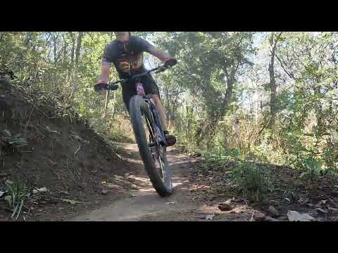
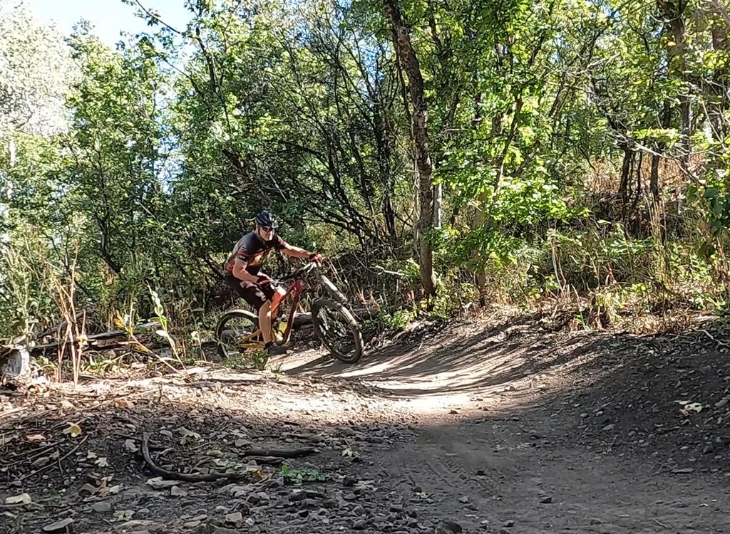
Northbound as we roll into a banked downhill turn.       Photos and review by Bruce on September 27, 2025. Updated September 2026
Northbound as we roll into a banked downhill turn. Photos and review by Bruce on September 27, 2025. Updated September 2026.
Canyon Rim
and Long Cut

The Canyon Rim loop lies just east and downhill from the main Snowbasin entry. This trail, new in 2025, will be used for racing a few times during the season, but otherwise is open to the general public without fee. Canyon Rim is an engineered one-way loop trail that is restricted to bikes only. No hiking or horses!

Long Cut is a side loop off Canyon Rim that adds 1.7 miles and 250 vertical to your ride. Like Canyon Rim, it's a one-way bikes-only trail. It comes near the end of the Canyon Rim loop, just 0.4 miles from the loop fork. Long Cut is new in 2026.

The loop is reached via a 0.3-mile two-way trail from the far end of the Snowbasin Canyon Rim parking lot. (There's an alternate one-way trail from the Old Snowbasin Road just below the resort that joins the two-way trail before it splits into the loop.) Once you reach the loop, it's one-way only. No turning back!

The Canyon Rim loop trail is 5.0 miles in length with a total of 650 feet of climbing over the course. With the two-way connector, the minimum ride is 5.6 miles.

If you add Long Cut, the ride becomes 7.3 miles with 900 feet of climbing.
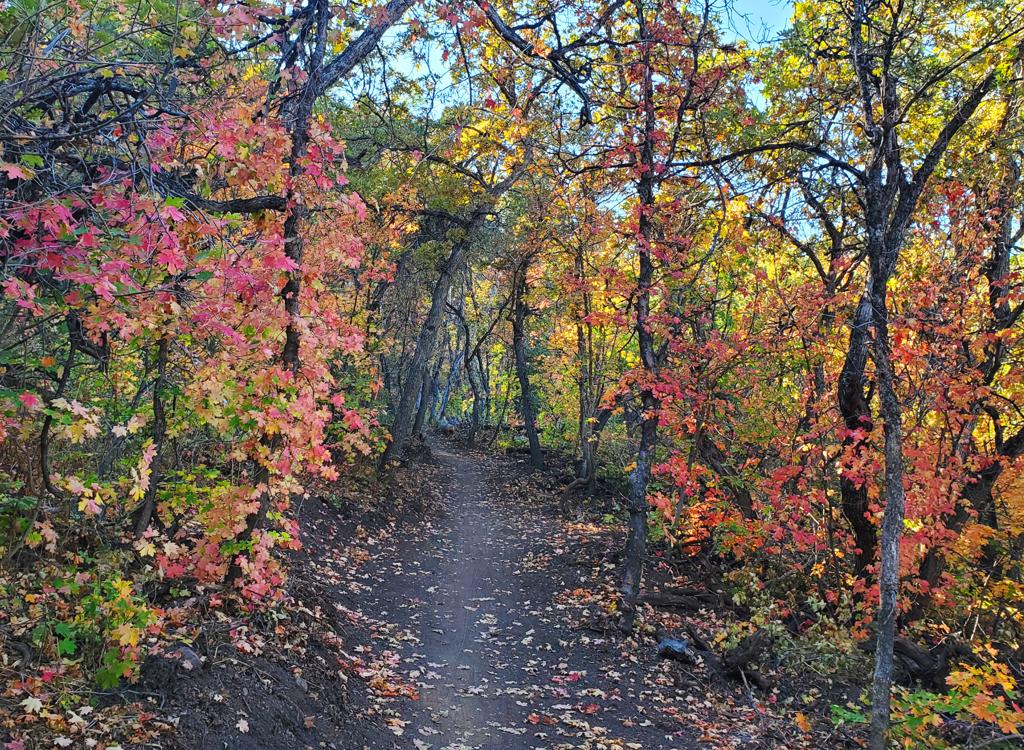
Climbing through maple forest.
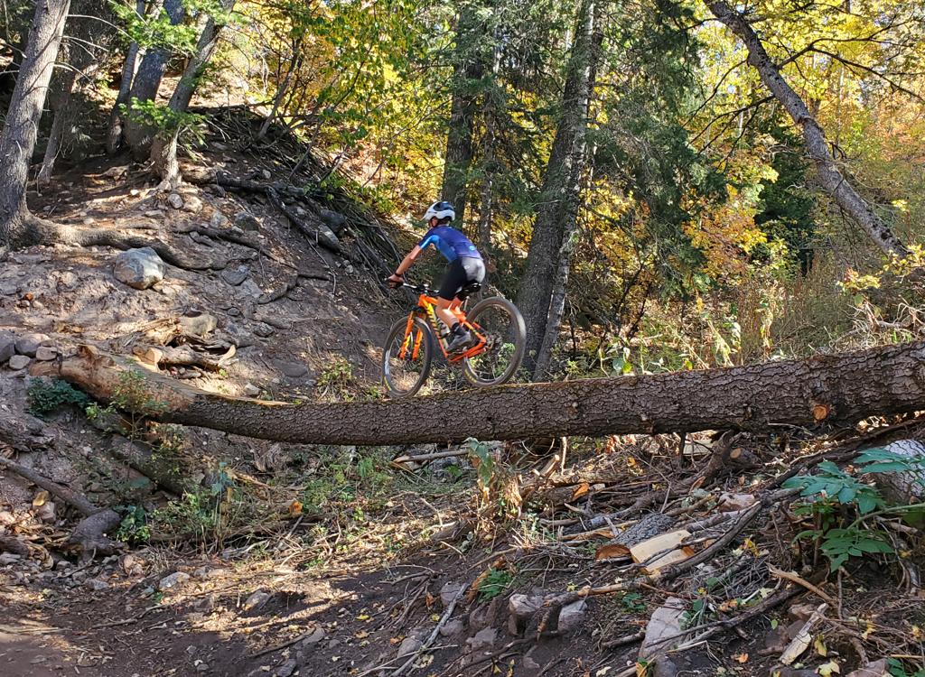
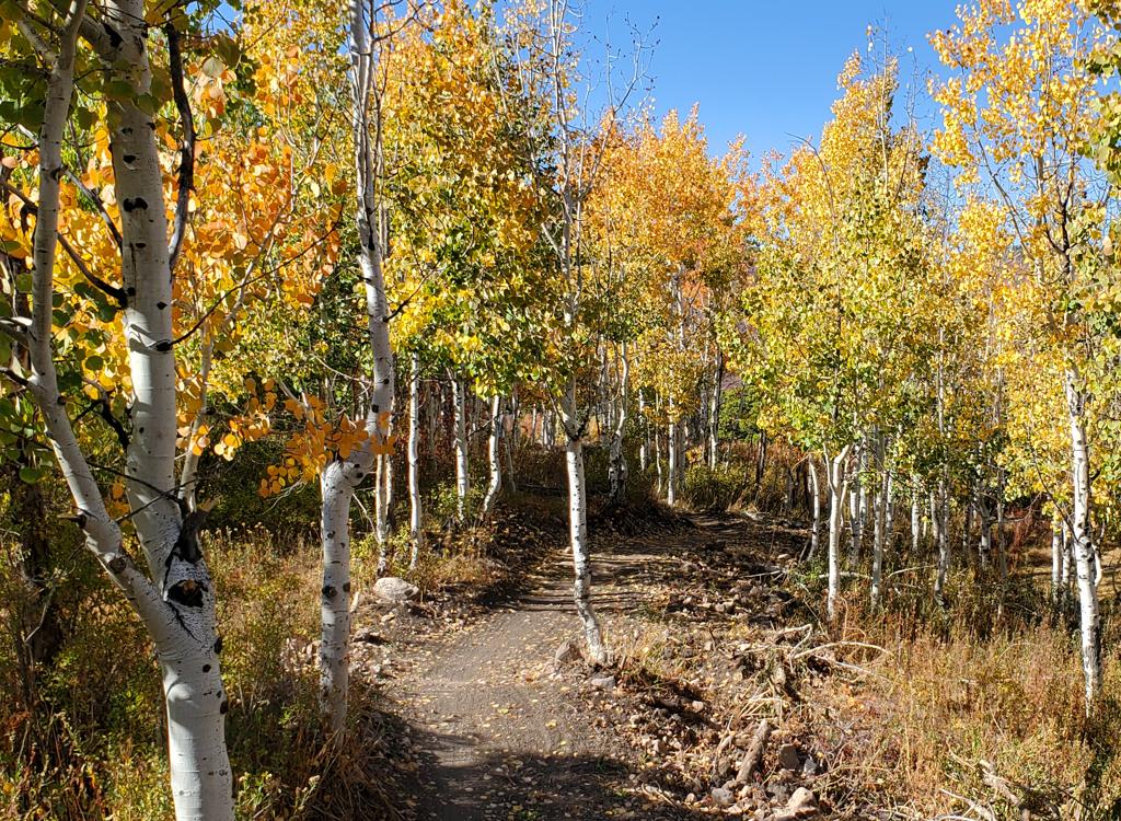
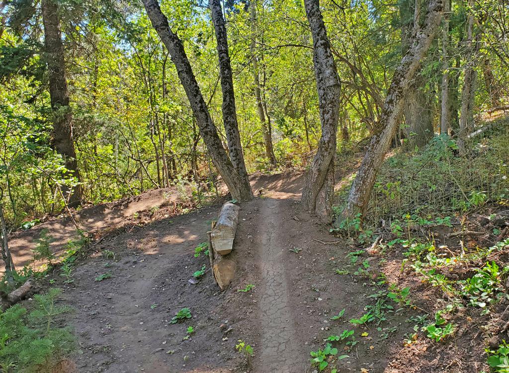
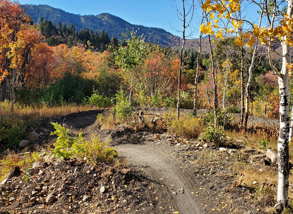
Against a backdrop of golden aspens, a log ride       offers a "shortcut" as the trail curves around a large fir tree.
Against a backdrop of golden aspens, a log ride offers a "shortcut" as the trail curves around a large fir tree.

Overall the Canyon Rim loop trail is rated easy. It's suitable for well-conditioned beginning riders, although timid riders can expect to walk the bike over a rare rock garden or ledge. Most of the "ledges" are simple drops off embedded rock of around 8 inches height. I recall encountering only one "facing" ledge while pedaling uphill.

The Long Cut loop is rated intermediate. There are some mandatory log drops with around 12 to 18 inches of air. The more-difficult stunts have A/B trail splits or ride-arounds. In 2026, Long Cut is more narrow than Canyon Rim, with more interesting riding lines.

Upper-level riders will enjoy the big loop of Canyon Rim and Long Cut! Constant turns keep things interesting. Multiple stunt opportunities are offered along the trail. Most of these are rock roll-overs or drops with an obvious ride-around. When the trail splits temporarily for a more-techy option, a signpost alerts you to the easier path.
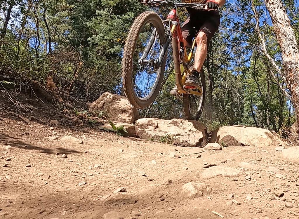
Taking air off a rock barrier on Canyon Rim. Anything       in the main trail can be rolled, though.
Taking air off a rock barrier on Canyon Rim. Anything in the main trail can be rolled, though.
Climbing through a mix of maple, aspen, and fir.

This is a highly-engineered trail with almost-constant turns. (When looking for trail photos, I had to watch for spots where the trail stayed straight for long enough to show up in the picture without using a fisheye lens!) Many of the turns are hairpin 180s, but none were uncomfortably tight or tricky. Uphill and down, the trail flowed wonderfully.

Because the Canyon Rim loop is used for bike racing, I strongly suggest that you check the NICA race schedule before scheduling a Saturday ride here during the fall racing season.

Honestly, this is one of the best trails I've ever ridden. The alignment and engineering are excellent. It can be enjoyed by a wide variety of skill levels. I couldn't find a single spot that wasn't perfectly built for an early-intermediate rider to enjoy. Five stars, plus!
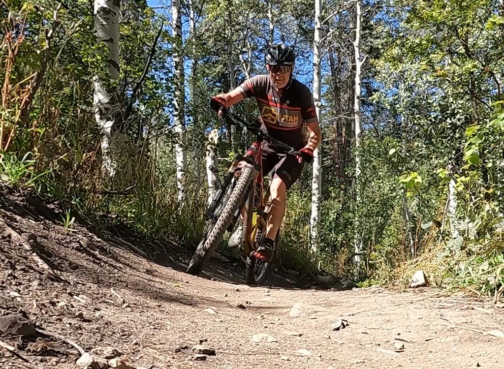
Beautiful forested riding!
Trailhead and alternate access
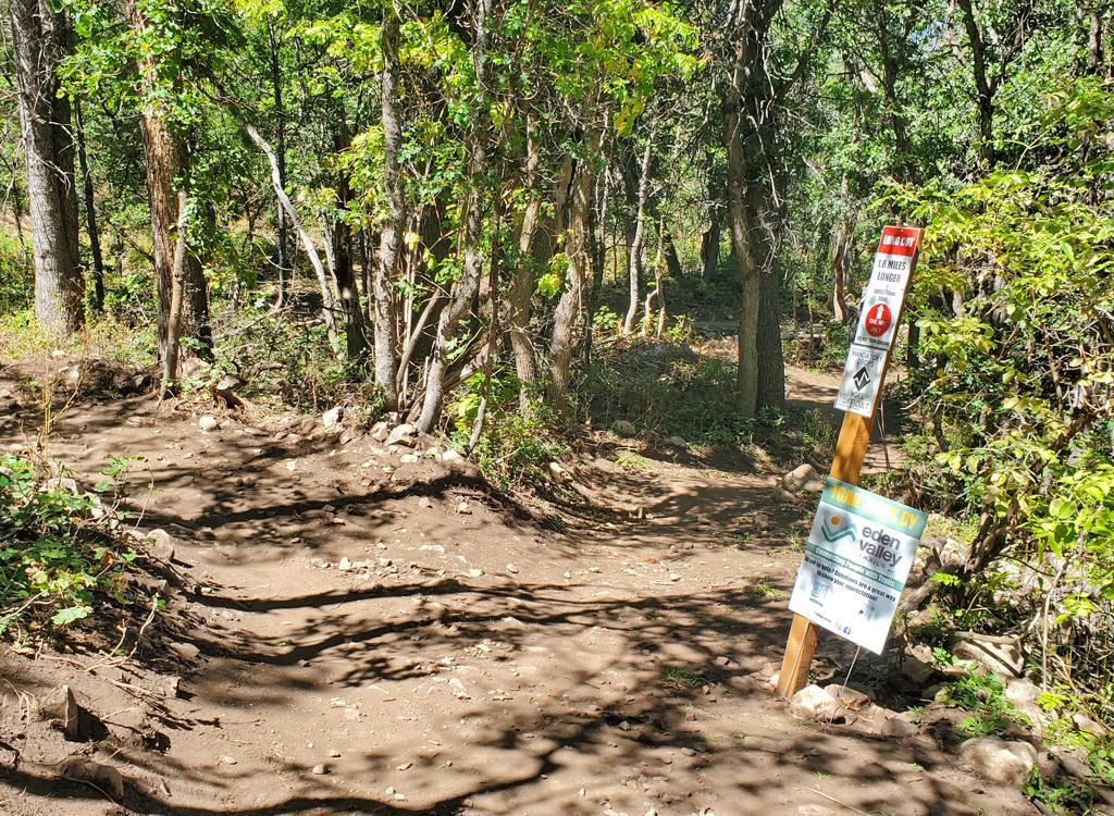
Looking north from parking toward the trail entry       (between the two signs).
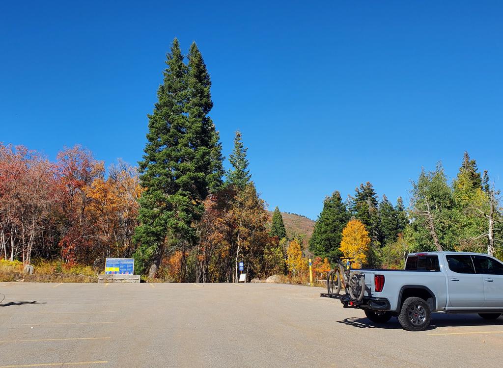
Looking north from parking toward the trail entry (between the two signs).
Canyon Rim Trailhead
As you arrive at the roundabout at the main Snowbasin entry, veer to the right into the huge Canyon Rim parking lot. Go as far as possible and find a parking spot. The two-way connector trail is at the northeast corner of the lot (far end then all the way to the right). At mile 0.25, keep straight as the Old Snowbasin Road connector joins on your left. Then at mile 0.3, keep right to begin a counterclockwise loop ride on one-way trail.

Old Snowbasin Road connector
This connector trail is one-way uphill only. On the paved Old Snowbasin Road, 0.1 mile downhill from the roundabout, look for a singletrack trail on the eastern side. It will climb uphill and pass a spur to the parking area at mile 0.1, then join the two-way connector at mile 0.4. Now keep straight for 100 yards, then keep right at the loop fork. (Note! The second connector to the Old Snowbasin Road -- to the east on the map -- is a one-way trail to EXIT the loop. See below.)
Trail notes for Canyon Rim Loop
A quarter-mile into the ride, the two-way access       trail passes the one-way alternate entry from Old Snowbasin Road.
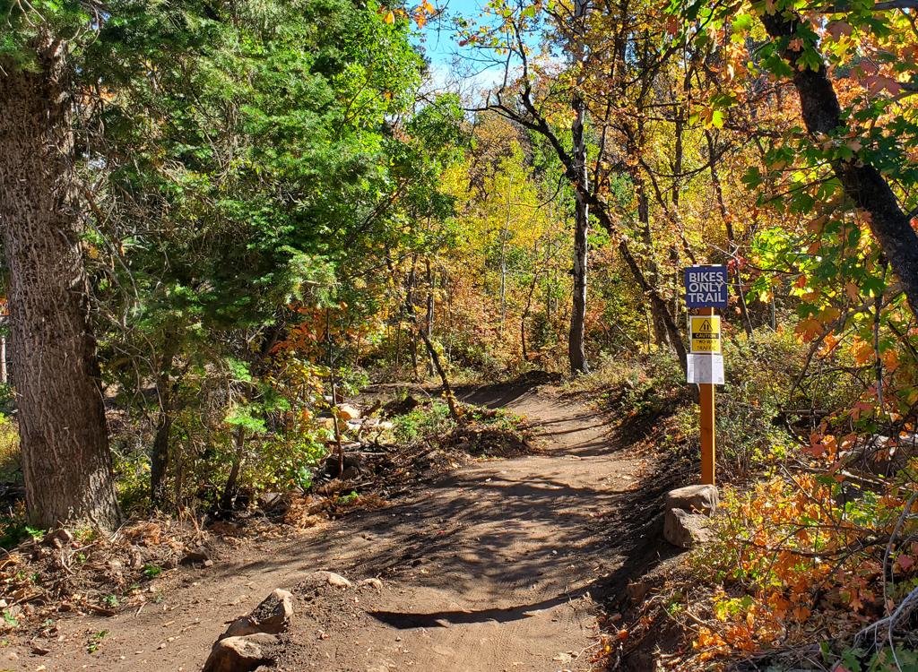
A quarter-mile into the ride, the two-way access trail passes the one-way alternate entry from Old Snowbasin Road.
At the far right corner of the Canyon Rim parking lot, find the broad trail heading north. After a bit the path will curve to the east, then turn to the south. At this point, 1/4 miles from the parking lot, the one-way Old Snowbasin Road connector will join on your left. Keep straight.
At mile 0.3, the two-way connector trail ends on the Canyon Rim Loop fork. Keep straight and to the right. The trail on the left is the do-not-enter return side of the loop.

I'll now "reset" the odometer for miles from the entry into the loop.
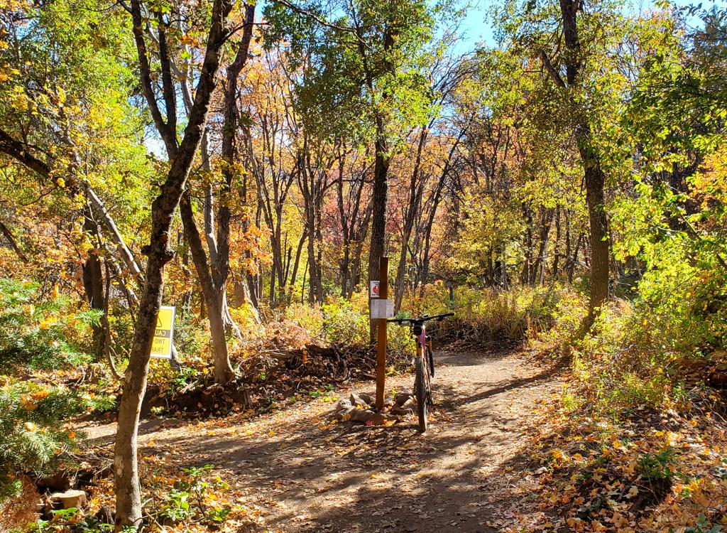
Arriving at the loop fork. Looking south from the       two-way connector trail, with the outgoing limb of the loop straight       ahead.
Arriving at the loop fork. Looking south from the two-way connector trail, with the outgoing limb of the loop straight ahead.
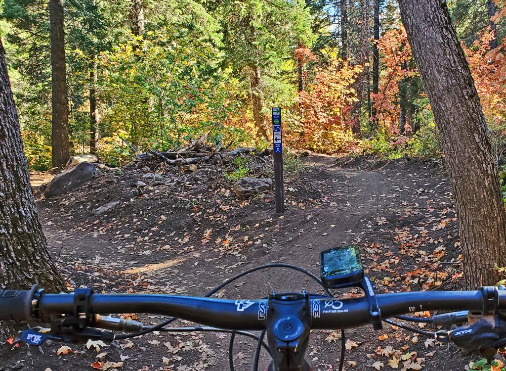
One of many splits in the trail with an easy line and       a more-difficult line.
One of many splits in the trail with an easy line and a more-difficult line.
You'll encounter several trail forks as you ride. Until you reach mile 2.8 from the trail fork that starts the loop, these are all alternate lines that rejoin a bit further along. The alternate lines are short and lie right alongside the main trail, so I don't show them on my map. A signpost will designate the easier (green) route. Typically the more-challenging line will be intermediate to upper-intermediate in skill level.
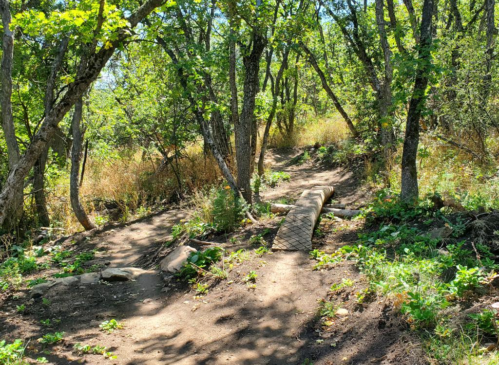
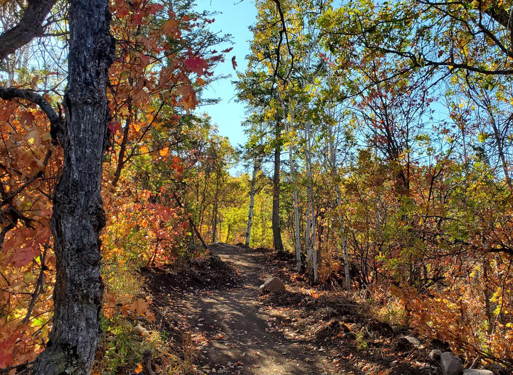
The terrain is a eclectic mix of oak, maple, aspen and fir. My review was in late September as the leaves were changing, but it's going to be a pretty trail in any season.

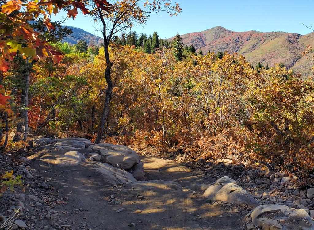
The trail itself is a broad bench-cut with a surface of 99.9% fine dirt. While rocks and roots will erode up to the trail surface as time goes by, at the time of this review the riding surface is butter-smooth.
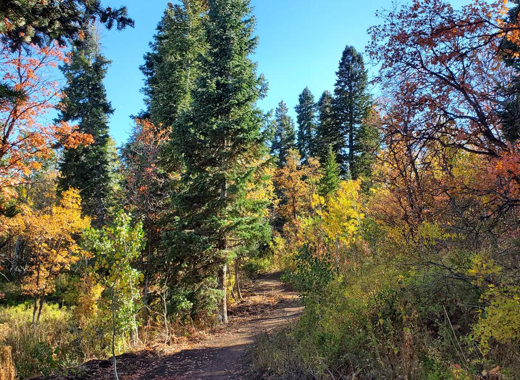
Typical mixed-species forest along the trail.
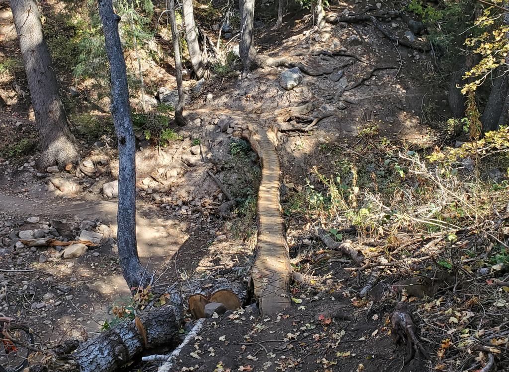
On an optional tech route, with a log-ride       over the ravine.
On an optional tech route, with a log-ride over the ravine.
It's about a five or six-foot drop if you       fall off the log.
It's about a five or six-foot drop if you fall off the log.
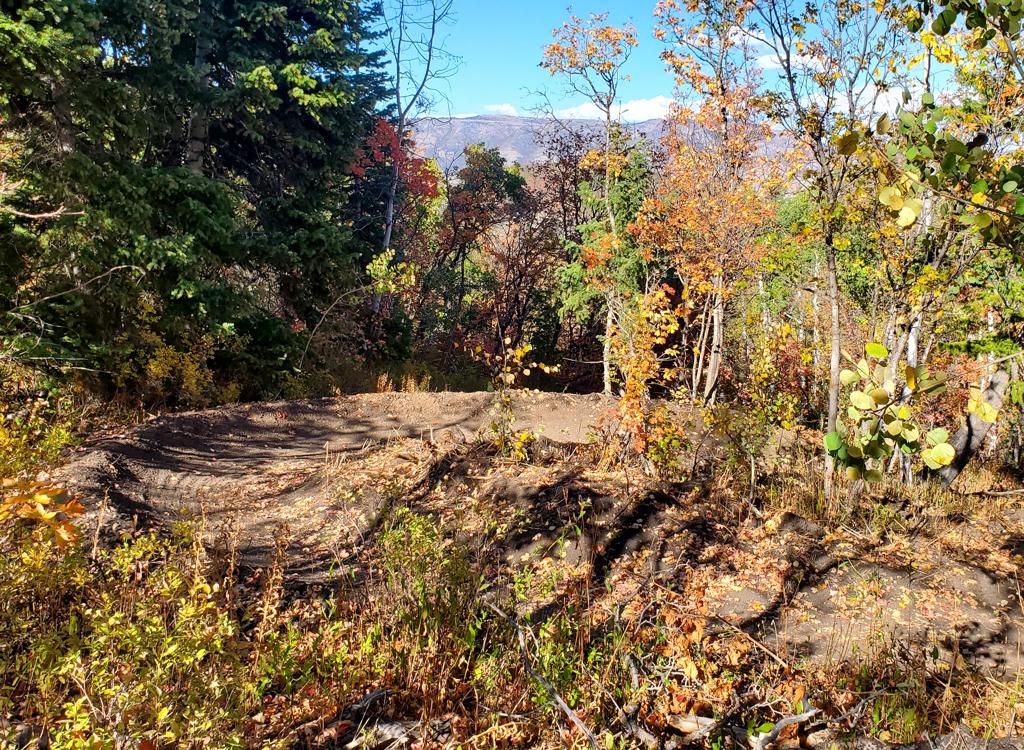
Looking east as the trail follows a banked turn to       reverse direction.
Looking east as the trail follows a banked turn to reverse direction.
All but the most gradual turns are banked. While there are a lot of "hairpin" turns that reverse direction 180 degrees, the turning radius is generous and the berm holds you on the path.
In addition to brief trail splits for A/B lines, there are quite a few trailside rock roll-overs and drops. These are usually easy to spot in time to get onto the tech option, although you may not be able to see what awaits you on the down-side until you're at the apex. If you're a rider who doesn't feel comfortable with drops, you might want to do a scouting lap first. All of the trailside tech options have easy ride-arounds.
A modestly-harder rock roll-over to the left, or an       easy ride-around to the right.
A modestly-harder rock roll-over to the left, or an easy ride-around to the right.
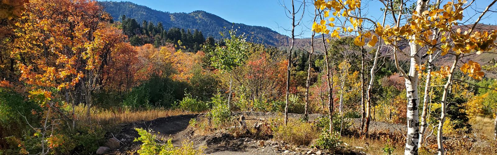
Cruising through the aspens as colors change.
At mile 2.8 of the loop, you reach a shortcut option. The loop continues on the right, while the trail to the left is a one-way 0.1-mile shortcut over to the return side of the loop. If you use the shortcut, you'll bypass 1.4 miles on the downhill side of the loop, also shaving off quite a bit of the loop's climbing.

If you use the shortcut, your loop will be 3.7 miles instead of 5.

At mile 4.7 of the loop (almost back to the top of the rim), you'll find three trails on your right (downhill) side, located just a few feet apart. The first is the outgoing path to Long Cut. The second is the return from Long Cut. (The loop around Long Cut is 1.7 miles.)

The third trail is a bailout trail to Old Snowbasin Road. It's one-way, so if you exit here, you can't come back. The connector trail is 0.4 miles long and is mostly downhill. It hits the Old Snowbasin Road 0.6 miles below the roundabout at the Snowbasin entry, and one mile above the spot where the Middle Fork trail crosses the road.
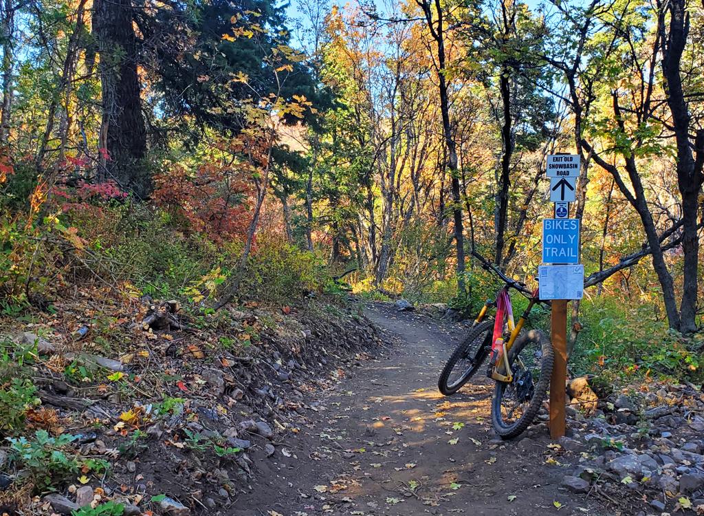
Here's the connector (one-way exit) to the Old       Snowbasin Road.
Here's the connector (one-way exit) to the Old Snowbasin Road.
Bruce rolls uphill through a banked turn.
Note: there's an old doubletrack that the Canyon Rim loop trail intersects earlier in the lower part of the loop, then again at around mile 4.4. Don't be suckered into taking this path over to the road. The real connector trail is a buff new singletrack, found 0.3 miles further uphill. It's prominently marked with a sign!

This trail is shown on Trailforks as a possible route to connect to the Green Pond trailhead, but it's not used much. So it may be overgrown with weeds and unpleasant to ride.
As you come back to the loop fork, you can veer left for another trip around the loop, or turn right onto the two-way trail to return to parking. On the way back, keep to the left when you reach the trail fork with the one-way connector from the upper Old Snowbasin Road.
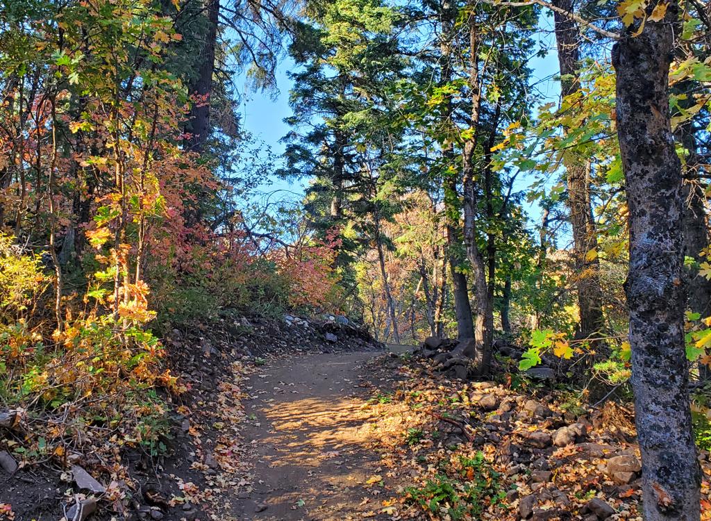
Almost done! Climbing back to the loop fork.
Trail notes for Long Cut Loop
Here's the entry to Long Cut on the right.
The Long Cut trail forks away from the Canyon Rim loop at mile 4.7 of the loop, or 5 miles from the trailhead if you started from the main parking. Just a few feet further along the trail is the return path from the loop.

Just 15 feet further along the trail from the exit from Long Cut is the Old Snowbasin Road Connector trail. It's one-way down to the road.

Long Cut will begin a gentle twisting descent for the first half mile or so. There will be several log drops, up to 18 inches in height. Most of them can be rolled (instead of jumped) by a competent rider. But a beginner riding who is riding slow, with fingers on the brake, can easily endo on these.

Please don't try to ride around the log drops. If you can't do the air, get off and walk your bike over the edge. Move to trailside, then look and listen for oncoming riders whie you remount the bike.
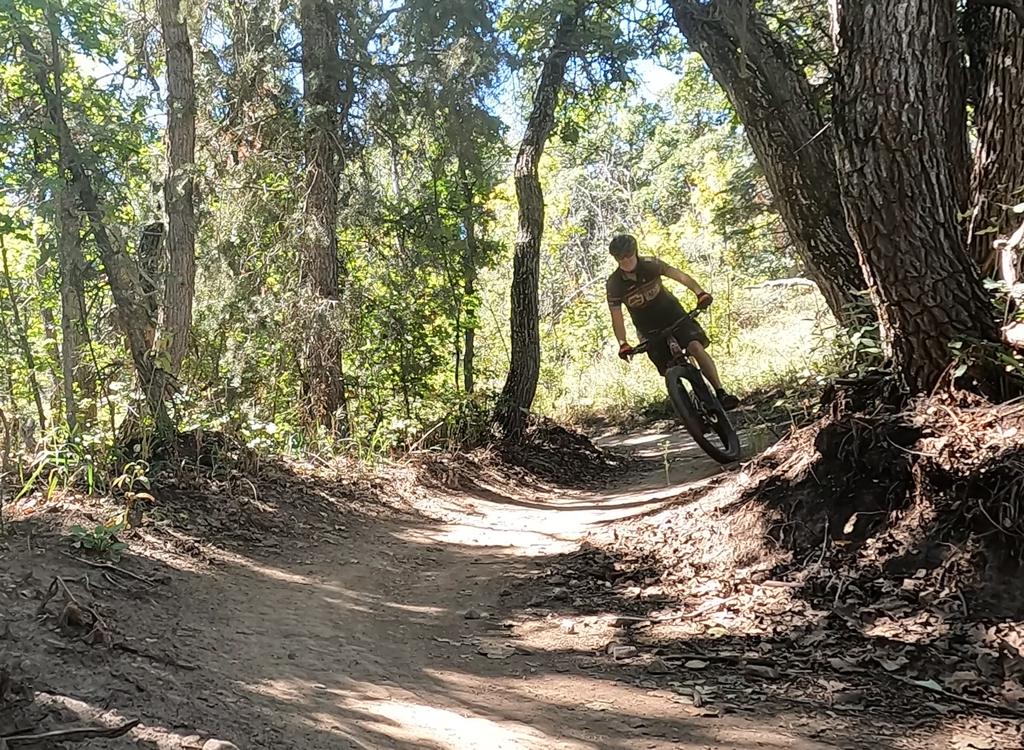
Bruce rolls through a series of turns on Long Cut.
Like Canyon Rim, Long Cut has a mix of maple, aspen,       and fir.
Like Canyon Rim, Long Cut has a mix of maple, aspen, and fir.
Compared to Canyon Rim, the riding lines are more narrow. The turns are a bit tighter and have more slope. Almost all turns have tall banks and can be done with speed.

Like Canyon Rim, the Long Cut trail will wander up and down as it twists around through the terrain.

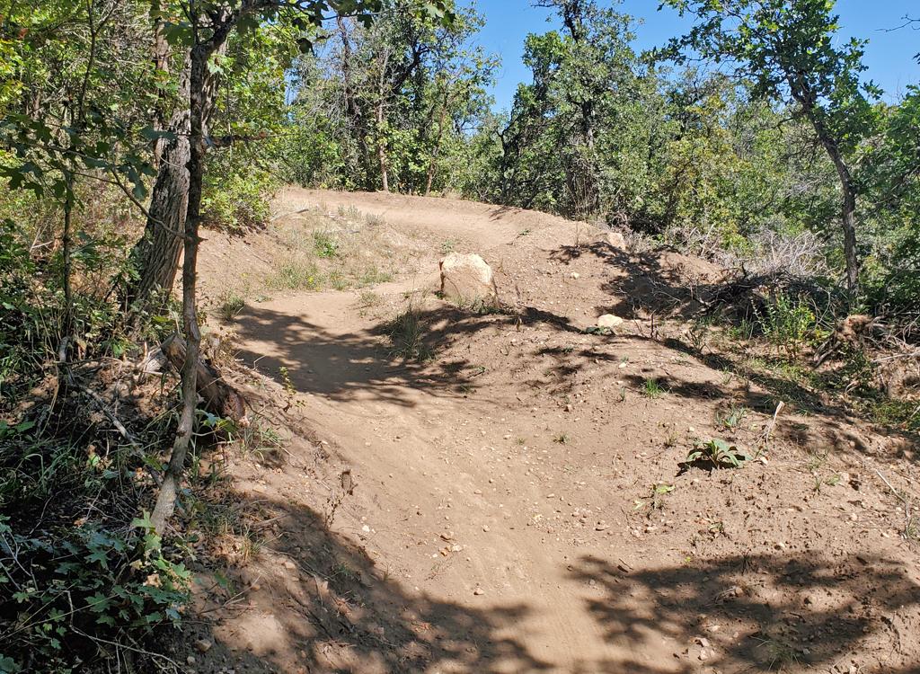
Periodically you'll ride into a trail split, where there's an easy line and a more difficult path that involves a stunt. These are obvious as you approach them.
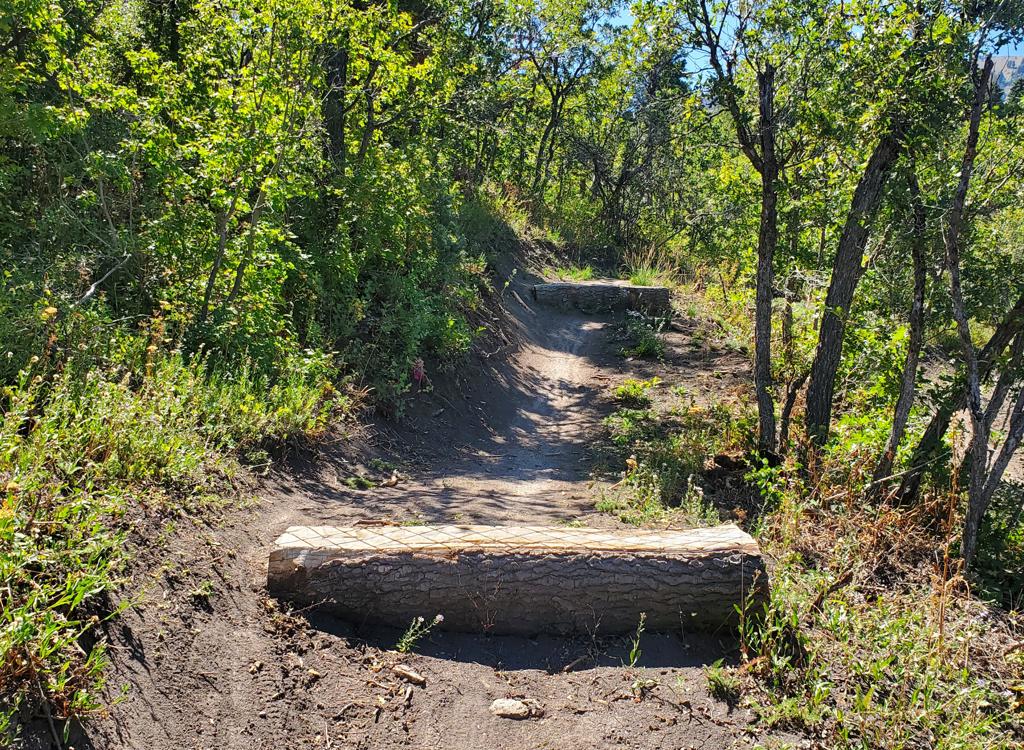
A log climb with a log ramp descending the other       side. Note the prominent ride-around on the left.
A log climb with a log ramp descending the other side. Note the prominent ride-around on the left.
Looking back uphill at typical turns on the       newly-finished trail.
Looking back uphill at typical turns on the newly-finished trail.
After the initial descent to the north, Long Cut will turn uphill to the southeast and climb back up the hill a bit. The climb will cross a drainage and put you at the top of a series of fun banked downhill turns.
Easy stunt, up and over. Note bypass on left.
Easy log ride. Note alternate path.
At Long Cut's lowest point, it lies just above the Old Snowbasin Road. You'll catch a glimpse of it through the trees.

The trail will then climb west parallel to the road, with occasional reversals so that the trail's pitch is more gentle than that of the paved road.
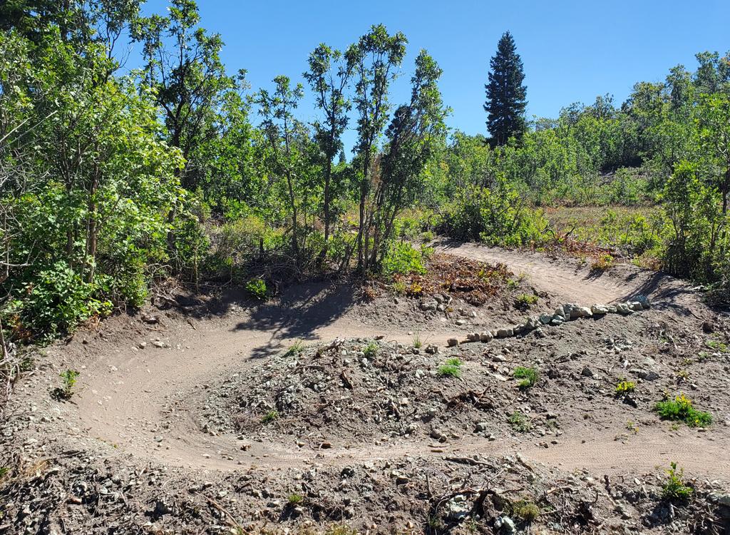
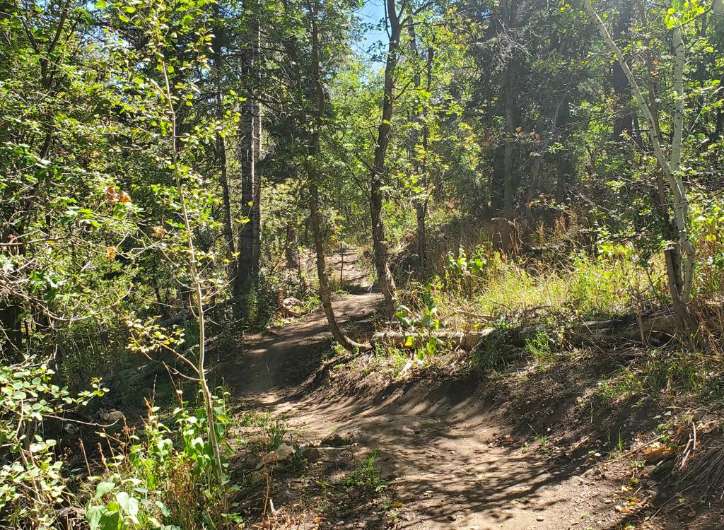
Nicely built trail!
Nicely built trail!
Climbing back uphill to the south to rejoin the       Canyon Rim loop.
Climbing back uphill to the south to rejoin the Canyon Rim loop.
For the final stretch of Long Cut, as it approaches the Canyon Rim loop, it climbs parallel to Long Cut's descending limb. You'll be able to see the descending trail to your left through the trees.

At the top, a right turn takes you on uphill on the Canyon Rim loop. To make another trip around Long Cut, look for oncoming riders, then whip around left to re-enter the one-way loop.
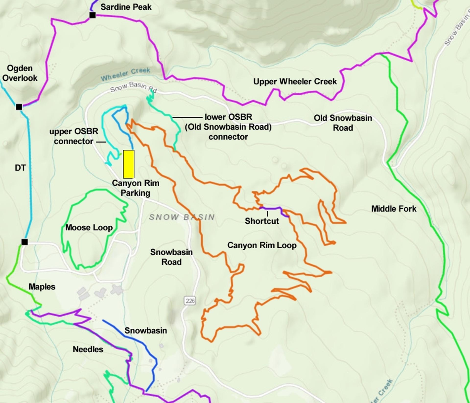
Canyon Rim plus Long Cut

[Back to video list ]
Bottom Line!
Two sequential log drops on an alternate line of the       Long Cut trail.
Two sequential log drops on an alternate line of the Long Cut trail.
Great trail system, surprisingly lush for its elevation. No epic views, just lovely forest and interesting riding without too much work or terror. A great ride for the less-hardcore biker.

Getting there, Canyon Rim trailhead:  From US-89 or I-15 in Ogden, head east on I-84. A few miles up Weber Canyon, take the Mountain Green exit. As you exit, turn left under the freeway, then right. Drive a couple of miles through Mountain Green, then turn left on the scenic byway, U-167. At the top of the hill, turn left and drive three miles to the main Snowbasin entrance. At the roundabout (with the flags), keep straight and to the right to enter the large Canyon Rim parking area. Keep going to the far end of parking and look for the signs near the two-way entry trail at the far right corner.