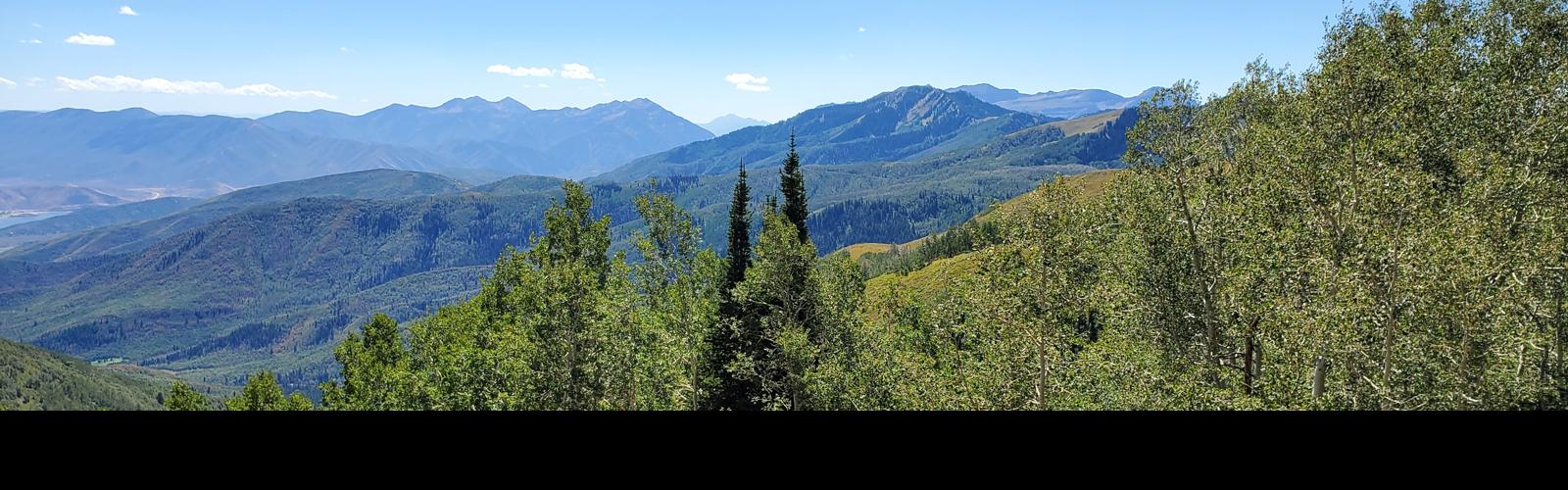
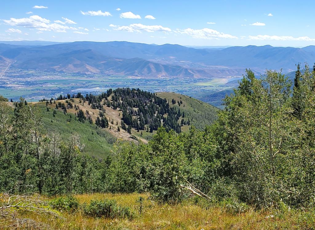
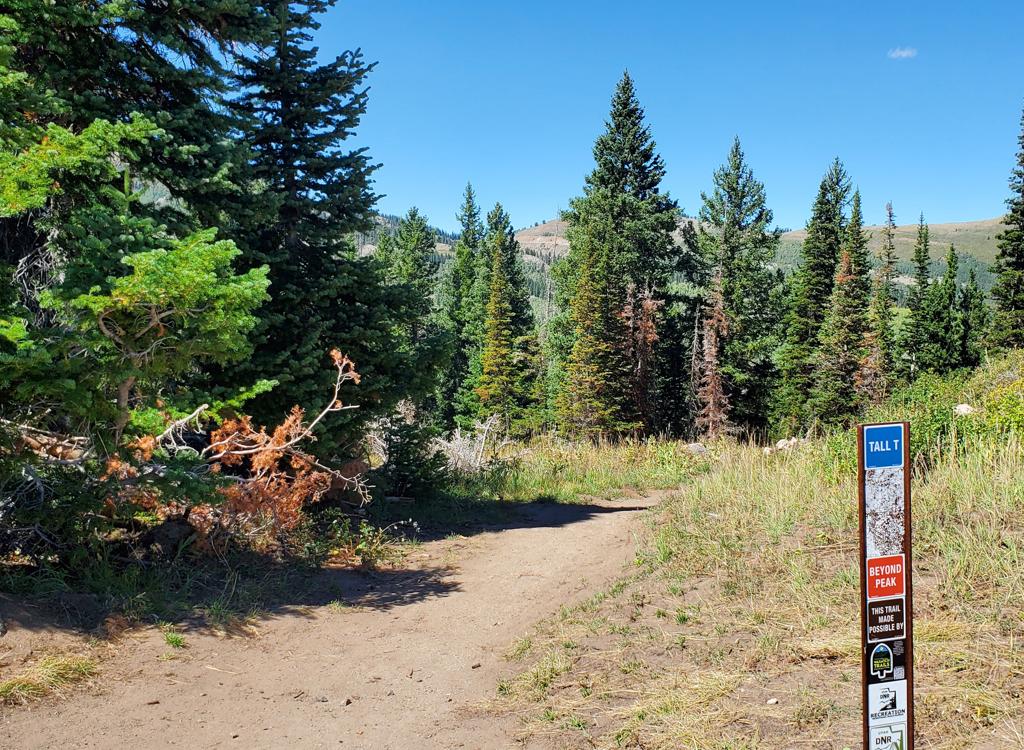
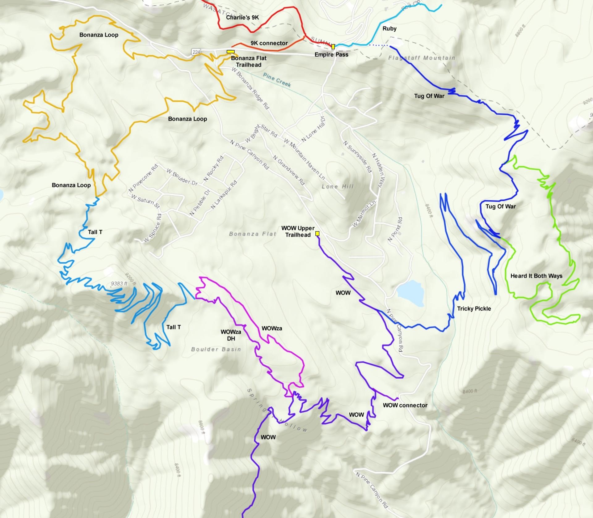
The Tall T trail is located in upper Pine Canyon, a few miles above Midway and just below Guardsman Pass and Empire Pass. The trail connects the Bonanza Loop to the Wowza trail, crossing over Beyond Peak at 9350 feet elevation. The trail was opened in 2025, and became rapidly popular for both high-elevation loop rides and shuttled downhills.
The new connections to the WOW trail through Bonanza and through Tug of War to Tricky Pickle means that many riders are arriving on Tall T from the Park City side of the mountain.
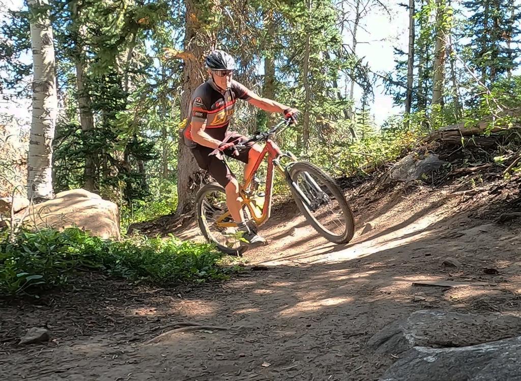
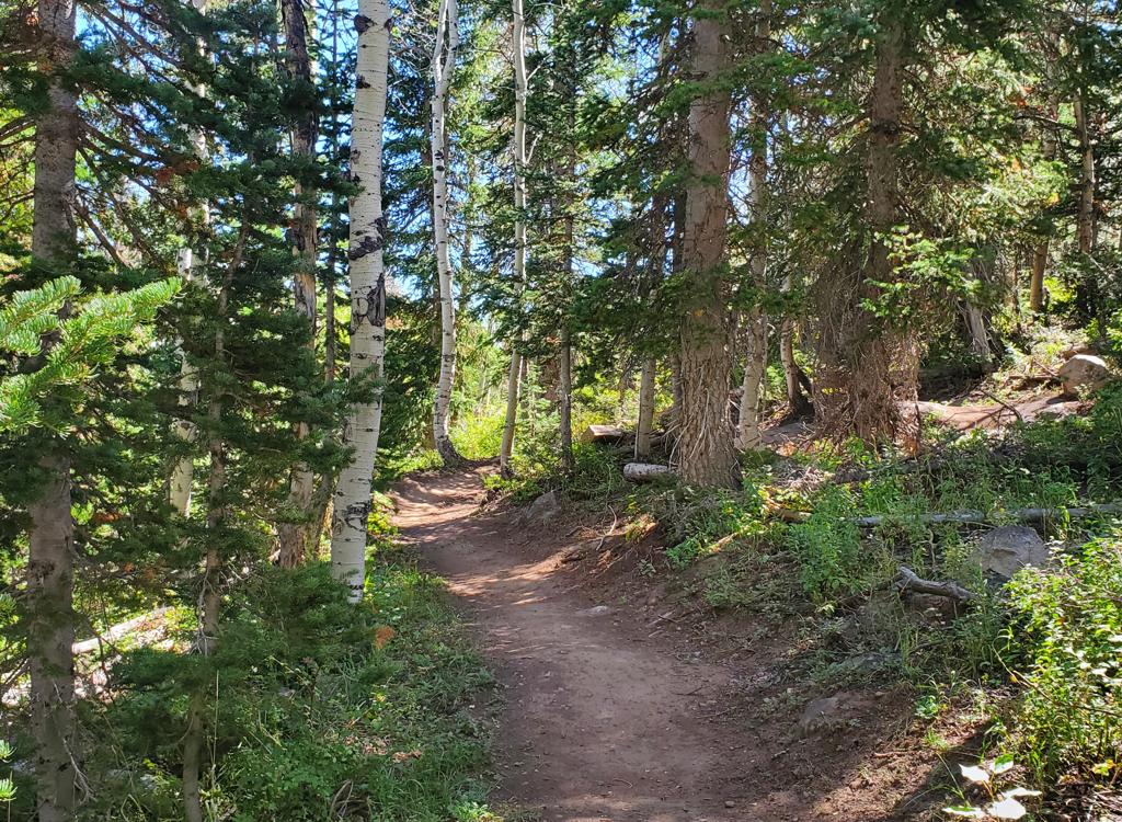
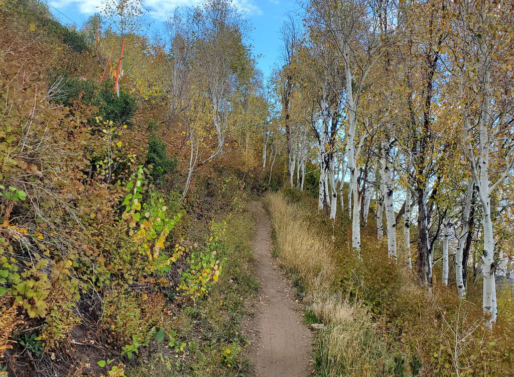
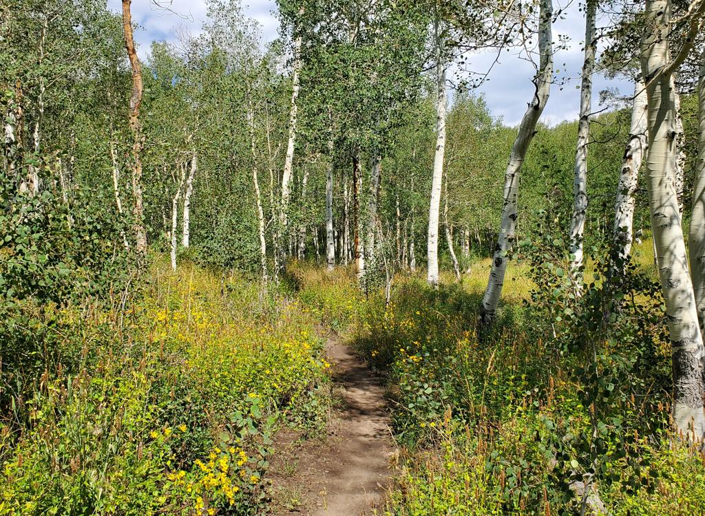
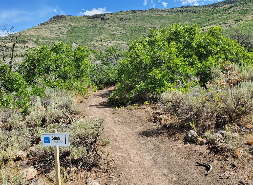
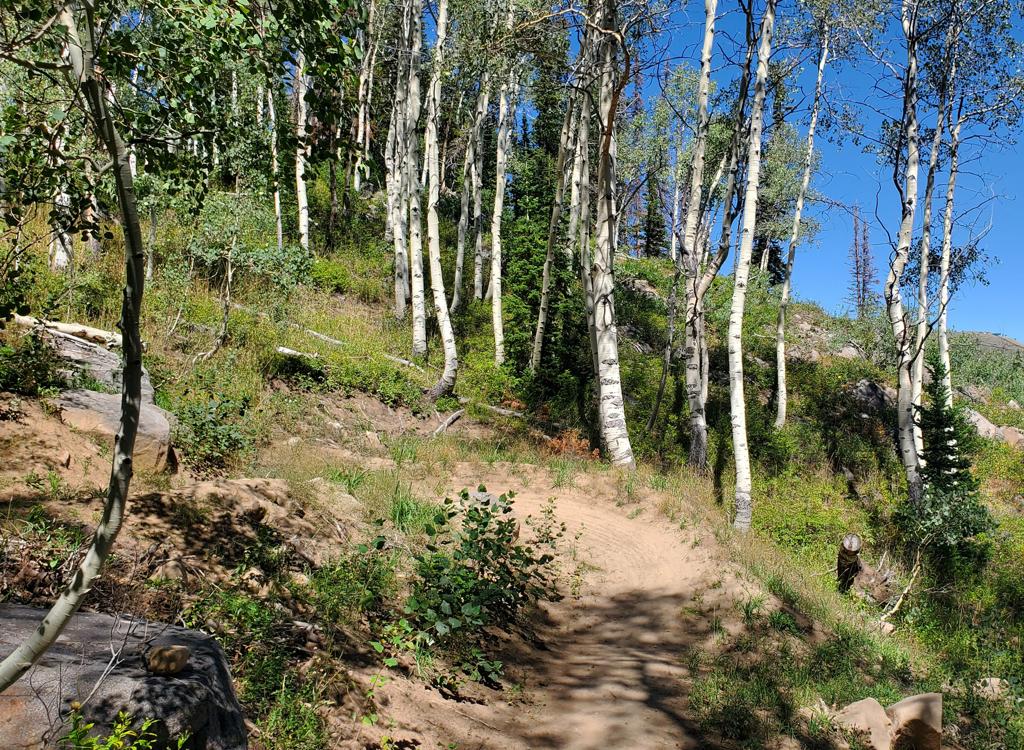
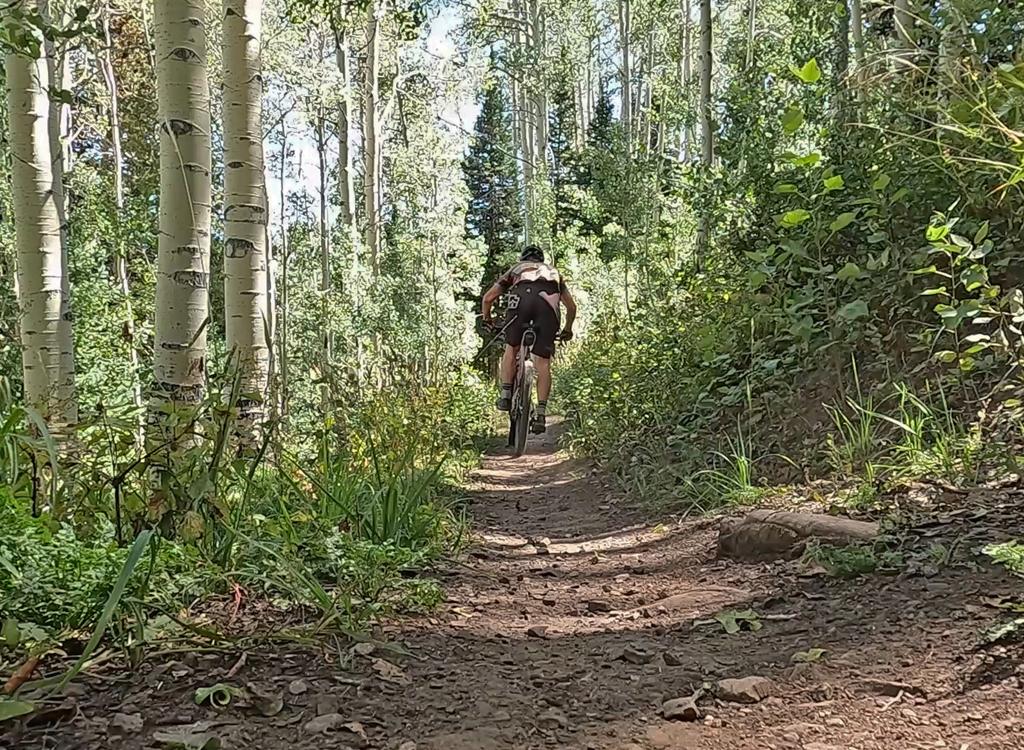
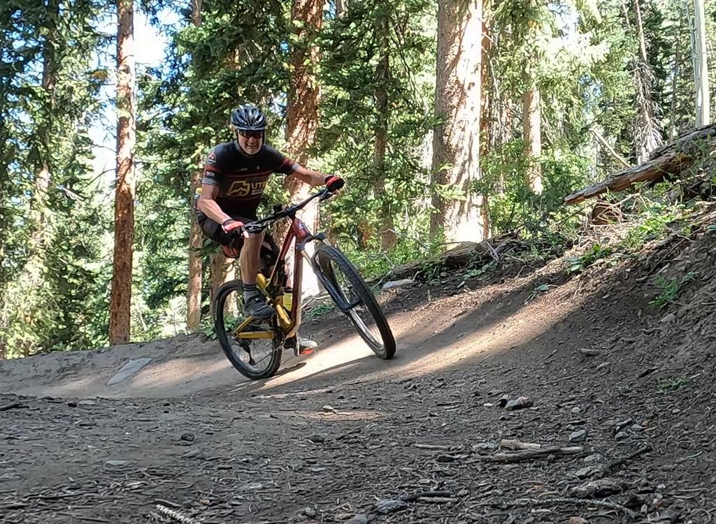
Turns are nicely banked and ride smoothly uphill or down. The southern side has a more narrow track, mostly due to encroaching plants. Both sides of the hill feature traverses with gentle slope, ending in a fast banked turn to reverse direction.
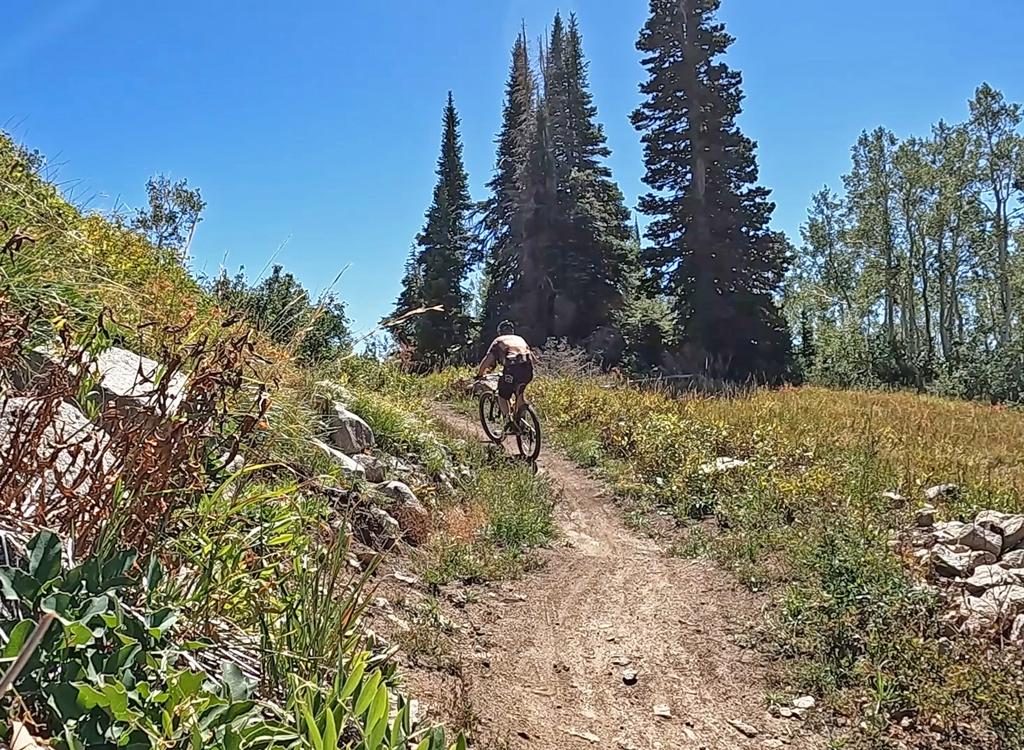
There will be occasional views from the trail on this southern side of the hill. At the top, or course, there are 180 degrees of mountain and valley views to the south.
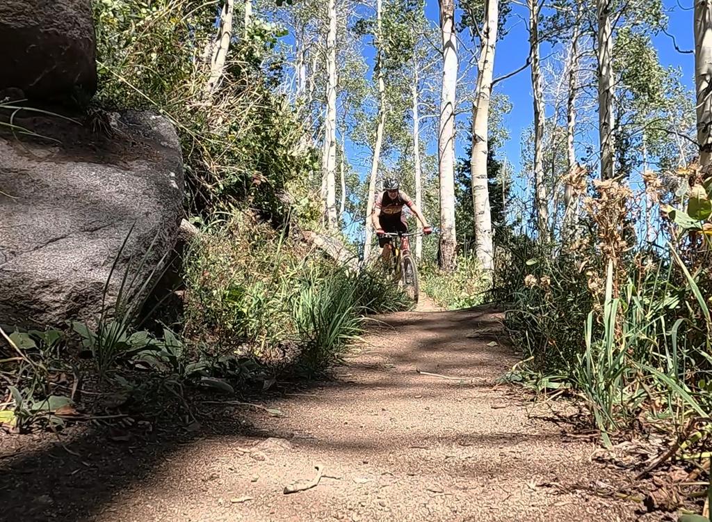
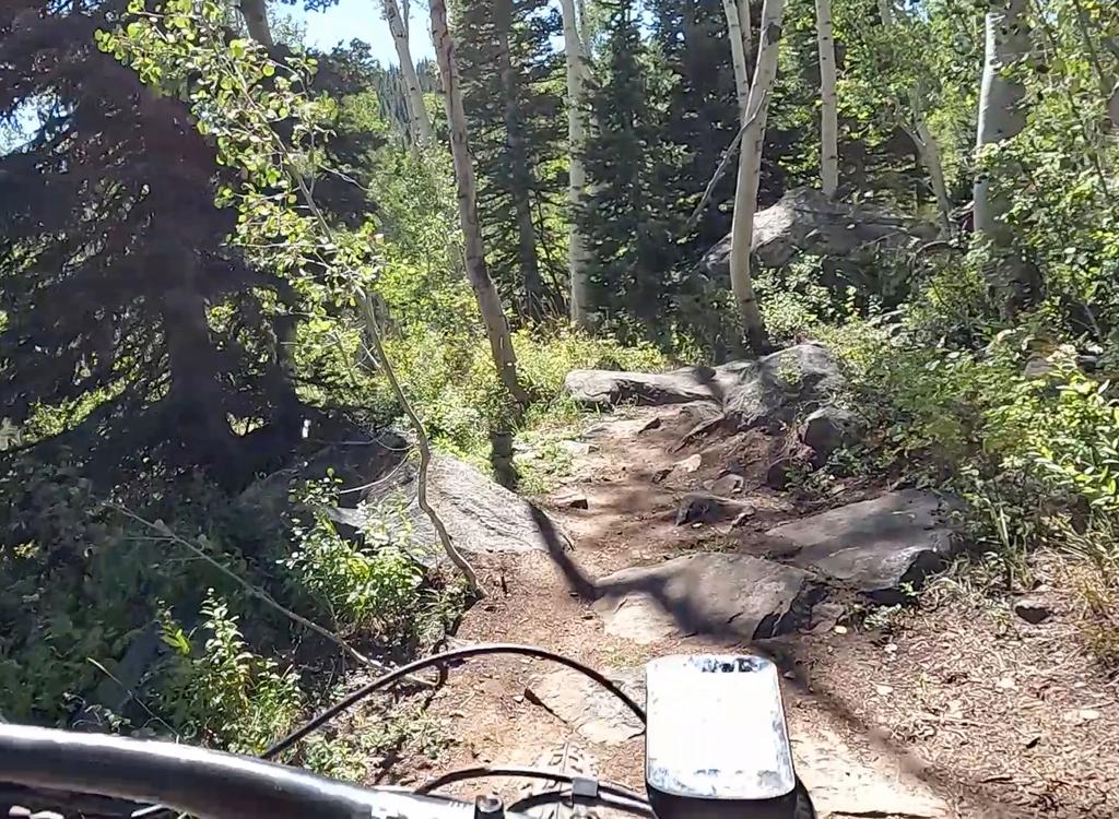
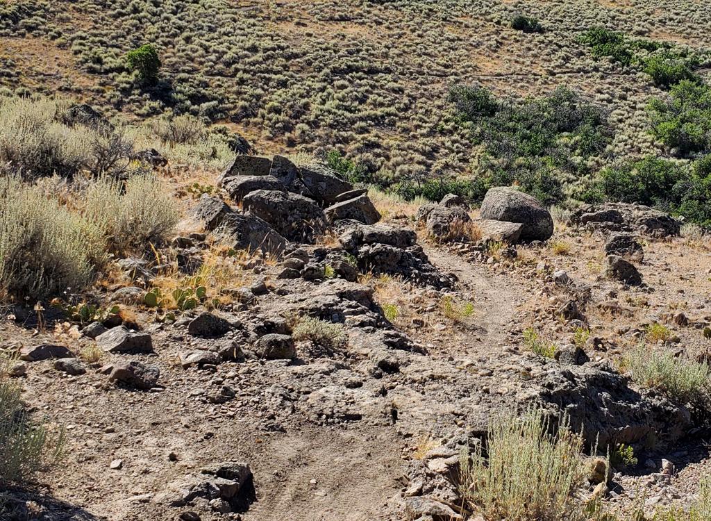
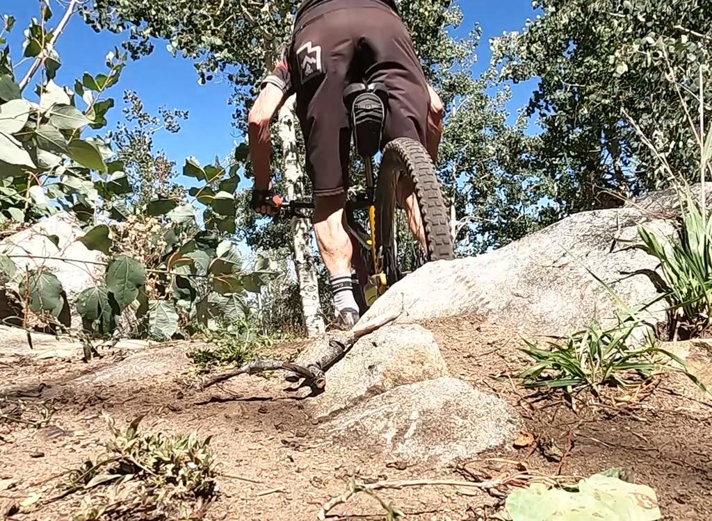
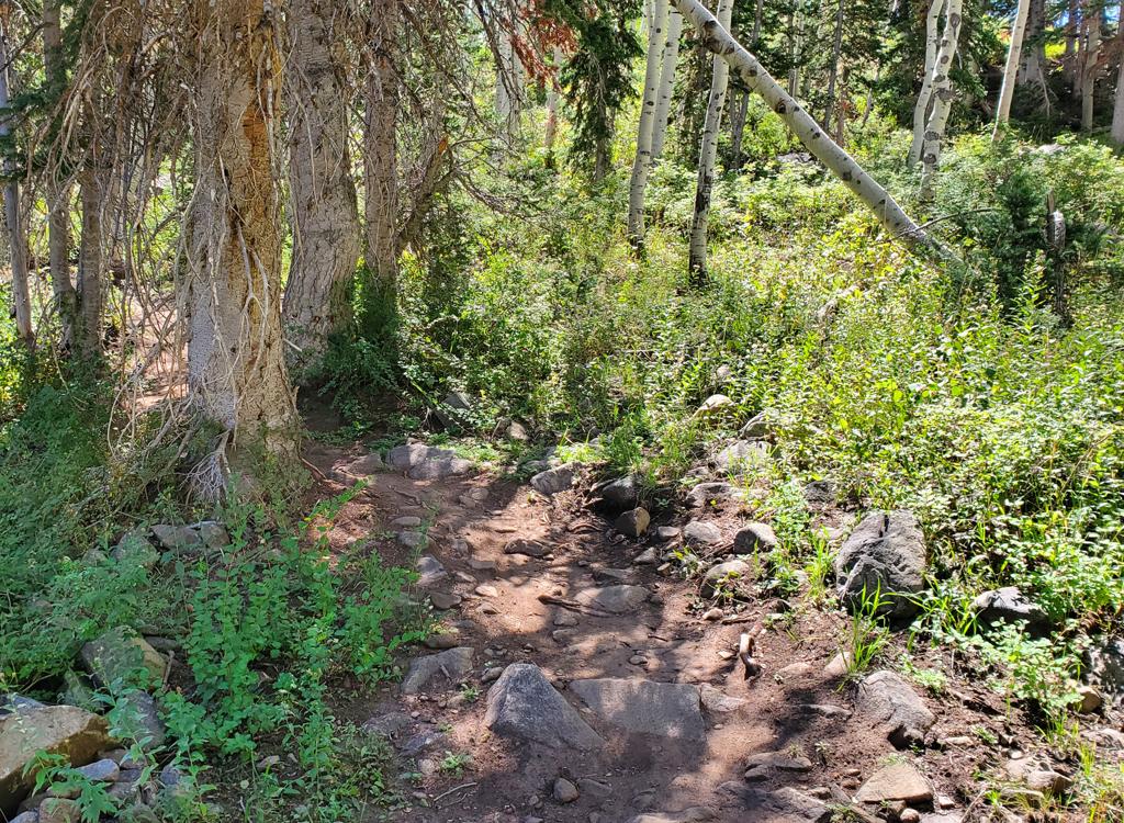
The northern side also features the only sustained stretch of "rock garden" tech riding on Tall T.
(1) Out and back from upper WOW. Riders start at the upper WOW trailhead and climb through Wowza, then hit Tall T, turning back at Bonanza. Or at the viewpoint on Beyond Peak. Because e-bikes and dogs are forbidden in the Bonanza Flat nature conservancy, many choose this option. If you turn around at Bonanza, it's 7.9 miles out and 7.8 back with the Wowza DH, total climbing 2050.
(3) Full Pine Canyon descent. Shuttled ride. Starting at Bonanza or Empire Pass, go around Bonanza counterclockwise to Tall T. Take Wowza DH to WOW then roll down the canyon to the lower trailhead. 16 miles with around 900 feet of climbing.
See below, after the trailhead info, for specific riding notes on the north to south direction of Tall T.
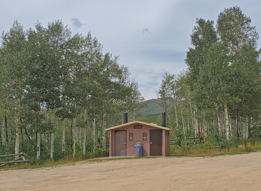
Drive to Pine Canyon (see below) then continue 5 miles past the lower trailhead and turn left at the sign. The upper WOW trailhead is the closest parking to Tall T, with 2.7 miles of singletrack to reach the bottom of Wowza and another 1.2 to Tall T. This large parking area is five miles up the Pine Canyon Road from the lower WOW parking (see below). It includes a toilet building.
For those who want go southbound through Bonanza and Tall T to Wowza, it's around 1.3 miles by pavement from this parking lot to where the upper side of the Bonanza Loop crosses the Pine Canyon Road.
Note that this trailhead requires you to pay the Wasatch Mountain State Park entry fee or have a Utah state parks pass. The entry to WOW is on the downhill side of the parking area, at a break in the log fence.
Climb Wowza for 1.2 miles. At the spot where the Wowza DH turns away to your left, Tall T continues straight ahead.
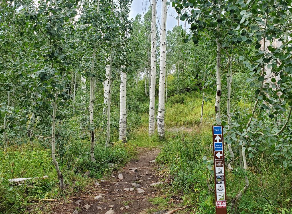

The Bonanza Loop connects to Tall T, which connects to Wowza. The Bonanza Flat trailhead is on Guardsman Road, 1/2 mile west of Empire Pass and 0.4 miles west of the Pine Canyon road intersection with the Guardsman Road. The trail entry is on the southwest side of the parking area, heading west into the grove of aspen trees. (The trail on the southeastern corner, just downhill from the toilet building, is the return path, while the trail going uphill across the road is the 9K connector trail.)
In 2026, the parking fee for Bonanza Flat is a breathtaking $5 per hour on weekdays and $8 per hour on weekends. This fee can be worthwhile for vehicles with multiple riders, but will make a "lone ranger" think twice. Do NOT park along the road. You'll likely get a ticket, or worse, towed. My advice: find another trailhead and pedal to the Bonanza loop, or take the shuttle bus.
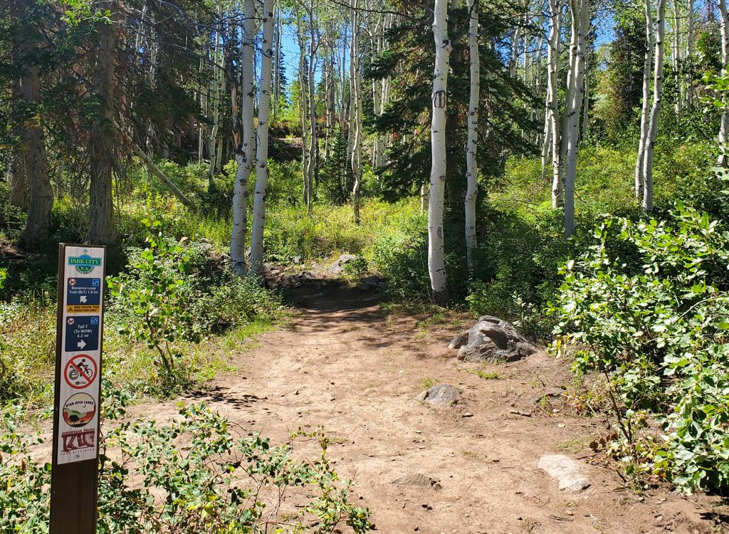

The trail can be reached through the Empire Pass parking area. This is a very small trailhead, and will usually be full. There's also parking one mile downhill where the Midmountain Trail crosses the Empire Pass road. You can climb Corvair, Tour des Suds, or Boulder to Empire Pass, then descend the 9K connector to Bonanza Flat.
To go to Tall T via Bonanza, take the doubletrack west past the top of Corvair, then turn LEFT 0.1 miles after leaving the parking area. Descend to the west for 1/2 mile, crossing Guardsman Road to the Bonanza Flat trailhead.
To take Tug of War and Tricky Pickle to WOW (and up Wowza to Tall T), find the broad doubletrack trail/road eastbound from the paved road, across from the small parking area. After about 250 yards, the Tug of War trail branches away downhill to the right.
Tricky Pickle will drop down to cross Pine Creek near Midway Reservoir. (Note: in 2026 Tricky Pickle is washed out at Pine Creek and is temporarily closed.) After 2.6 miles (4.7 from Empire Pass) Tricky Pickle will join upper WOW just 0.6 miles from the trailhead. If you're headed on toward Wowza and Tall T, make a hard 180 left on WOW.
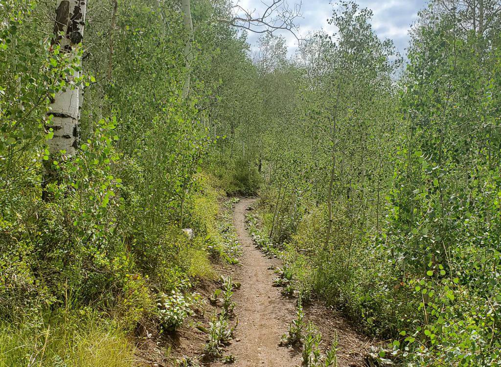

This trailhead is used for shuttle vehicles, bike park riders, or for those who want to climb the whole thing. From Provo Canyon, drive east to the end of Deer Creek Reservoir. Right where the water ends, turn left (north) on U-113. Zero your odometer. Drive north 3.8 miles into Midway. On Main Street, turn left (west) onto Highway 222. Follow the signs for Wasatch Mountain State Park and/or for Guardsman Pass, staying on 222 as below. When you pass the campground (on your left), watch for a gravel pull-out area outlined by large boulders on the right side of the road about 1/4 mile later. The WOW trail starts across the road from this parking spot.
A Utah state park fee (or an annual pass) is required to park anywhere in Pine Canyon!
After 7.8 miles on WOW, you'll reach the bottom of Wowza DH, then Wowza about 20 feet later. Turn left uphill on Wowza and climb 1.2 miles to the southern end of Tall T.
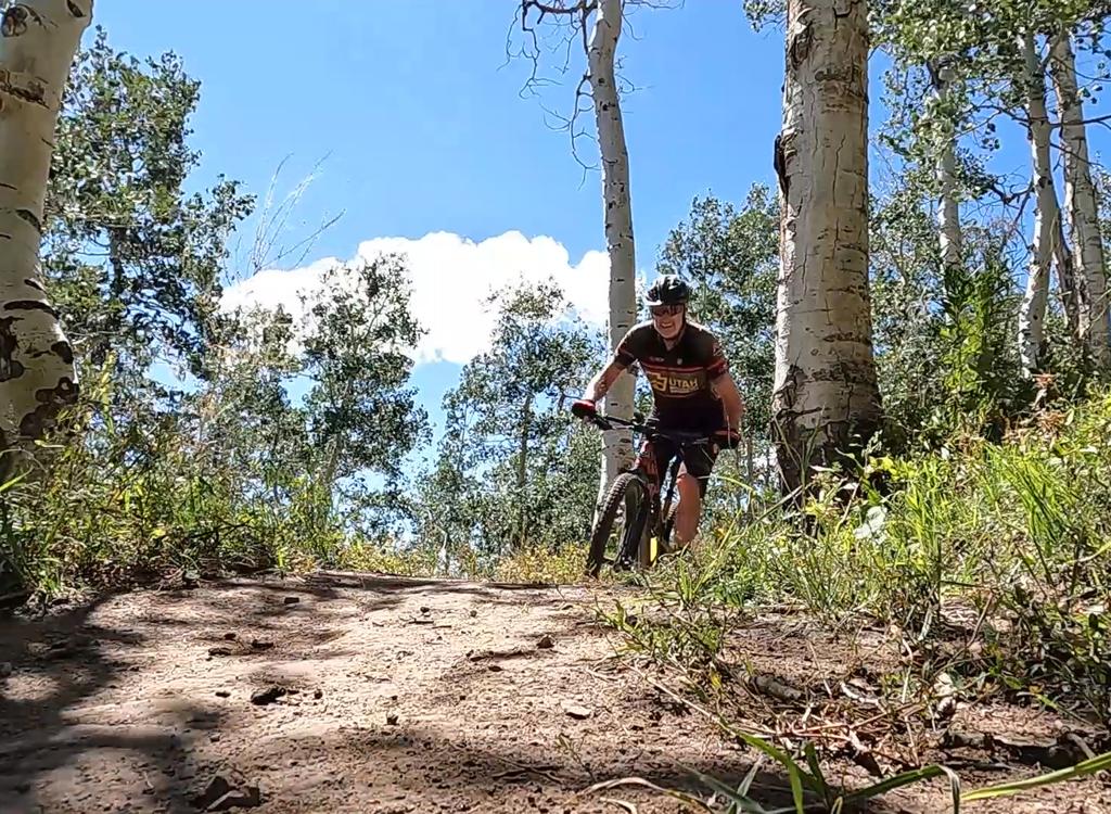
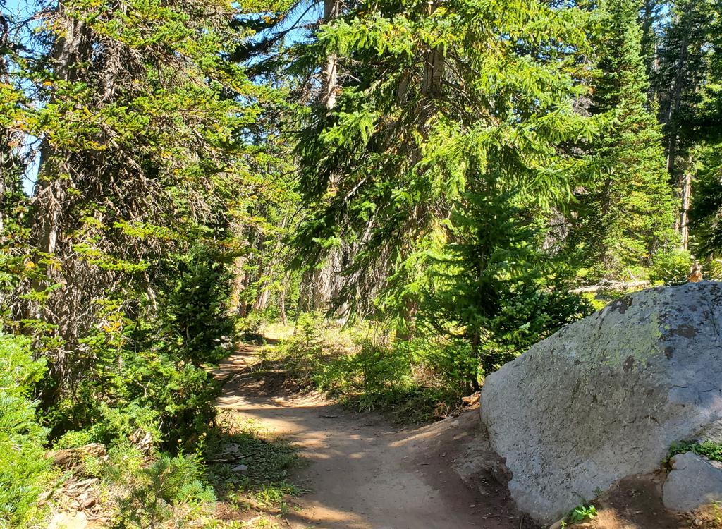
Just be aware that everybody else will be going the other way, often with speed, and on weekends this WILL be a problem. Yeah you're the climbing rider, but because you're riding against the flow, yield to everybody always. And I did NOT give you permission. I have merely pointed out that the connection is possible.
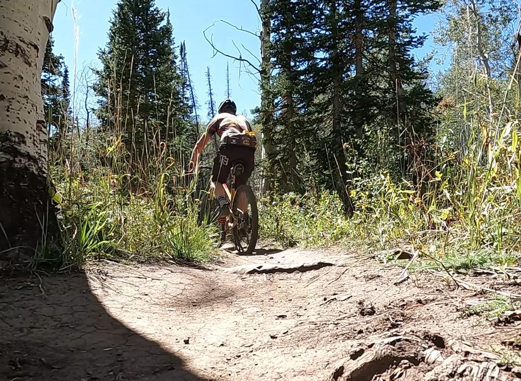
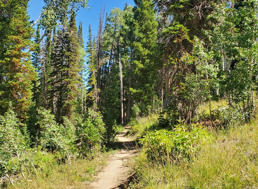
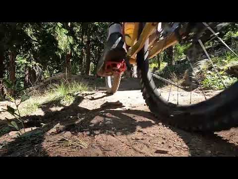
The riding path is usually very smooth. There is one prolonged rock garden ride but most riders will find it easy. (You can see it in the video.)
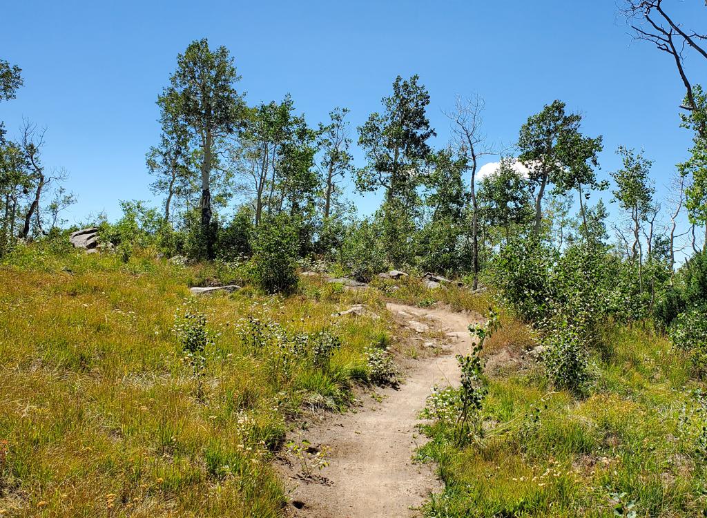
As you approach the carsonite post, the trail will turn to the left for the descending side. Stop here and take in the views. You worked too hard to just plunge down the other side.
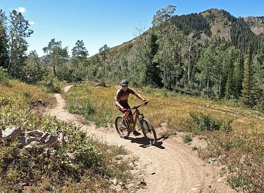
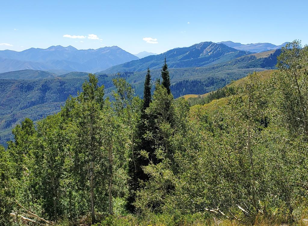
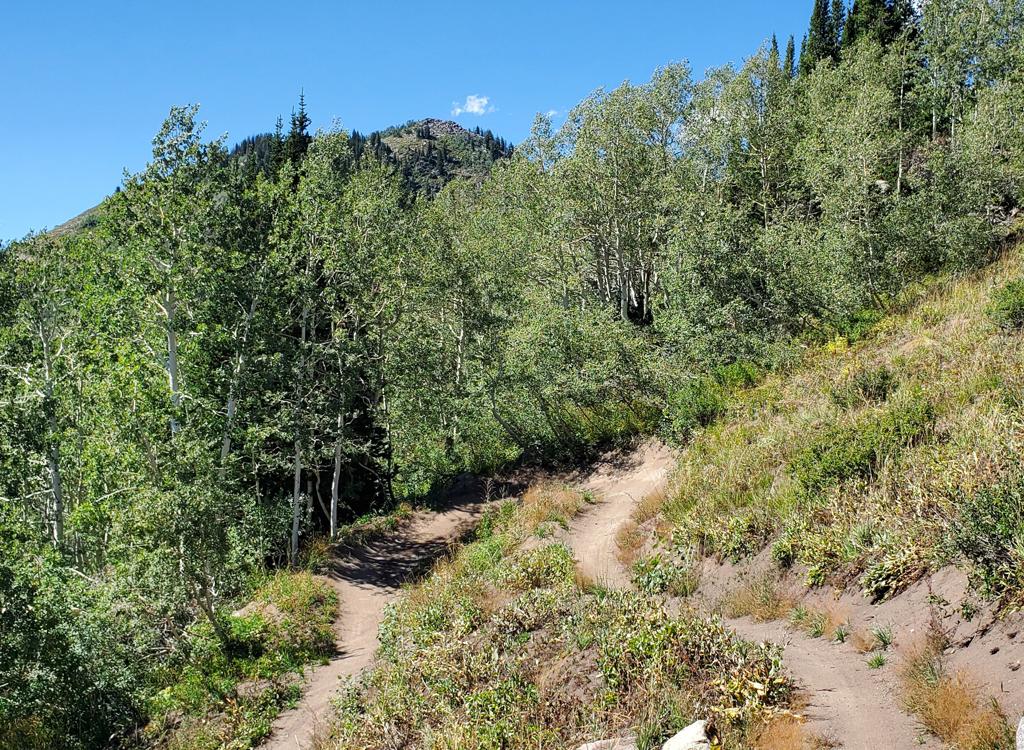
The trail layout is much the same, as traverses with gentle slope separate hairpin turns. But like the northern half, the turns are nicely banked, smooth, and ride well up or down.
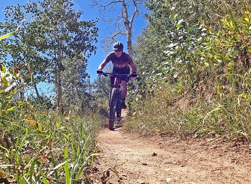
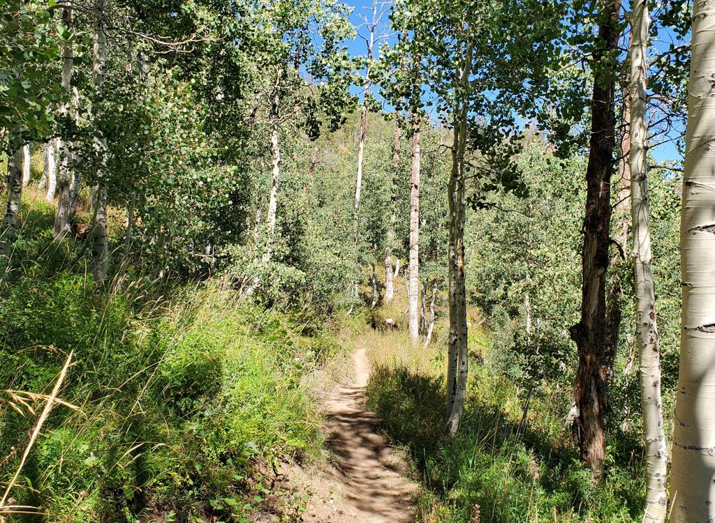
Wowza and Wowza DH end on WOW just a few feet apart.
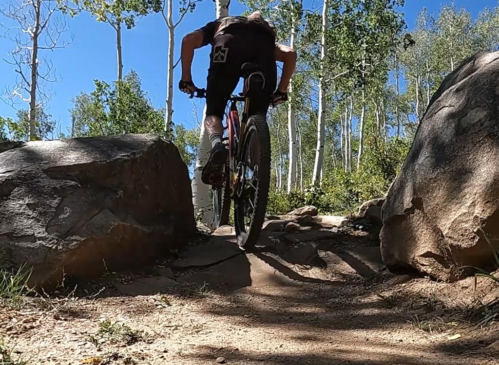
Very fun trail! Well-built and easy to climb, especially considering the elevation. Fabulous view at the top of the peak. Many riders like the south to north direction, if you can only do it once.
Getting there, Pine Canyon (SR-222) lower trailhead: From
Provo Canyon, drive east to
the end of Deer Creek Reservoir. Right where the water ends, turn left
(north) on U-113. Zero your odometer. Drive north 3.8 miles into Midway.
On Main Street, turn left (west) onto Highway 222. Follow the signs for
Wasatch Mountain State Park and/or for Guardsman Pass, staying on 222
as below. When you pass the campground
(on your left), watch for a gravel pull-out area outlined by large
boulders on the right side of the
road about 1/4 mile later. The trail starts across the road from this
parking spot.
From Salt Lake City, go up Parleys Canyon on I-80, then turn right
(south) on US-40. Drive all the way into the middle of Heber, then at 100
South turn right on SR 113 to Midway. In Midway, continue straight as SR
113 turns south, and you'll be on SR 222. Go 2 blocks to 200
East and turn right. Turn left at 200 North and go about 1/2 mile west and
SR 222 will turn right to be northbound again. When the road turns
west, turn right to stay east of the golf course on 222. Once you pass
the campground, look for the parking area on the right about 1/4 mile
uphill.
Campground/Day-use trailhead:
Just after SR 222 and the Pine Canyon Road join at the mouth of the
canyon, drive uphill past the golf course entry. When you reach the
campground entry (on the left), turn and go through the entry station
(paying the day-use fee rather than the camping fee), then go to the right
for the day-user parking lot. On your bike, exit the campground back to SR
222 and cross the road to the singletrack. Climb 1.3 miles uphill (keep
left as the connector from Phosphate Hill joins) to the SR 222 trailhead
and cross the road to continue.
Upper 222 trailheads: If you're
shuttling, leave your pickup vehicle at one of the lower trailheads. At the
SR 222 Pine Canyon trailhead (0.7 miles uphill from the campground), zero
your odometer and drive uphill.
Shorter ride, cutoff trail: At mile 3.4, look for
concrete barriers on the west (left) side of the road as 222 turns to the
right. There's room for 3 parallel-parked vehicles here. This is the start
for a shorter downhill. A doubletrack will take you 0.1 mile west to
intersect the trail.
Longer ride, upper WOW trailhead: Continue on 222 uphill to mile 4.5, then turn left and descend to the large
fenced parking area. The trail starts on the south (down-canyon) side of
the parking area, directly downhill and across the parking lot from the
entry road.
NOTE! The road to the Pine Canyon trailhead is labeled on older topo maps and software as highway 224. The road signs (and Google maps) show it as 222.
State Park FEE: In 2021, $10 per car ($5 seniors) if your vehicle is parked within Pine Canyon. Self-service fee deposit stations are located throughout the canyon. (You do not need to pay the fee if you're simply driving through.) You can pay with your smart phone. Yes, there's cell service at all area trailheads. If you need to use a fee envelope, bring exact cash or a checkbook. Plus, minor detail, a pencil or pen to fill out the fee envelope and dashboard ticket. If you have an annual pass, attach it to your rear-view mirror with a dangling holder.