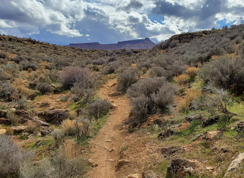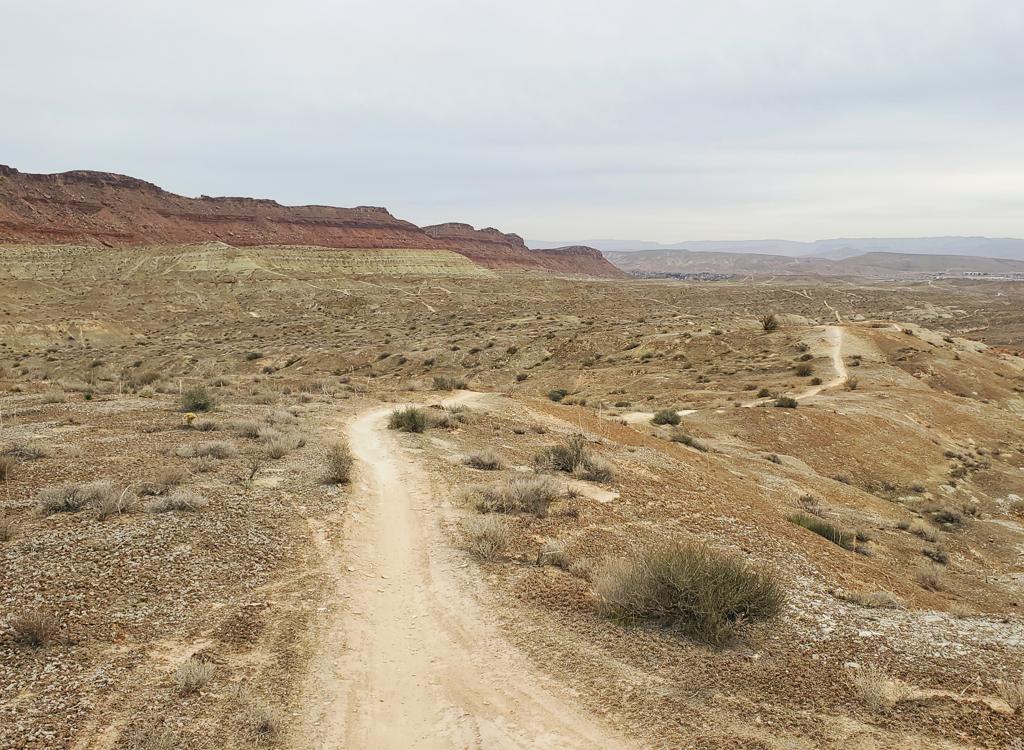
The St George Airport trail system lies just west of the airport. There's 8 miles of singletrack, with trails ranging from easy to very difficult. The trails run in a general north-south direction with many loop options. The average elevation is 2700 feet. Weather allowing, the trails can be ridden year-round.


3 miles around. Reached from the north or south via singletrack connectors. Eastern side is very easy. The western side has an easy northern half, and a southern half that I'd rate intermediate because of some dip-and-climbs. In general, you can tell which way to turn at any trail forks because the main loop just looks easier. There's a short-cut across the loop about 1/3 of the way from the southern end.
There are 3 main expert lines on the western edge of the bluff, plus a double-black loop that drops off the bluff. Some of these are obvious trail forks, while others are more subtle. I'll let you figure it out.
North rock: 0.6 miles, alternate to main singletrack connector on north
end of loop.
Northwest: 1 mile, bypasses northern half of west side of main loop.
West rock: 0.6 miles off middle of western side of loop:
Dropoff: 0.7 miles with steep drop and grunt climb, techy.


From the south, it's a singletrack consisting of a steep series of steps heading uphill, just a few feet east of the entry into the northwest tech singletrack from the northeast corner of the main (easy) loop. The more broad smoother (but still steep) trail east of it connects up to the main access trail.


This is the easiest way to locate the trails. From the Southern Parkway (Highway 7), take River Road northbound to 4150 South and turn right eastbound. After 1.3 miles (at the base of the bluff) the road will veer left twice to become Little Valley Road heading straight north. Turn right on Auburn Drive after 1/4 mile, then right again after another 1/4 mile onto 2820 East. As 2820 East climbs the bluff, it will become Banded Hills Road. Just after cresting the hill, look for a dirt road on your right. That's your target. Find a spot to park. Many riders drive 100 yards further east to the road stub (where a future road will be built) and park there, as shown on my map and GPS track. (Note that this area will change with future construction!)
1. Doubletrack. Easiest. You'll have a couple of chances to sneak over to singletrack as you go south. Many riders make the jump at mile 0.5,where a crossing doubletrack heads uphill and intersects the singletrack about 200 feet later. You can also continue south on the DT to reach the southern end of the main loop where the singletrack connector crosses at a fenceline at mile 1.8 of the doubletrack.


This option lets you hit the Desert Canyons / Pushing Tin trail system first. But finding the Airport Trails from here involves a bit of navigation. Start from the main Desert Canyons parking area north of the Southern Parkway on the Desert Canyons Parkway. You'll need to find your way to a spot at the base of the bluff 3/4 mile northwest of the parking lot. You have two options to get there:


Desert Canyons Parkway Trailhead: Southbound on I-15, take Exit 2 for the Southern Parkway (Highway 7). Keep left on the exit off-ramp. Drive around 6 miles to the Desert Canyons Parkway exit. Turn left on Desert Canyons Parkway, pass under the Southern Parkway and drive 1/10th mile north to a trailhead on your right. On your bike, find your way northwest as above.
Banded Hills Road: From I-15 on the Southern Parkway (Highway 7), turn north on River Road. Next turn right on 4150 South. This will veer left to become Little Valley Road northbound. Turn right on Auburn Drive, then right again on 2820 East. This will become Banded Hills Road. Just after cresting the hill, look for a dirt road on your right. You can park here, or go to the road stub (where a future road will be built) 100 yards further and park there. On your bike, backtrack to the dirt road southbound. (Note that this area will change with future construction!) 200 feet after the dirt road leaves pavement, find the singletrack to your right on the uphill side.
Bathroom: port-a-potty at the Desert Canyons main trailhead.
Water: none
Camping: none
GPS track files (right-click and "Save as..."):
Airport Trails multi-track file
Desert Canyons multi-track file
Area aerial map for printing: View area map
Lodging, camping, shops: Links to St. George area resources


