Lehi's Dream Jump Line
Lehi's Dream is a one-way downhill route in the Traverse Mountain trail system. The trail starts at the highest point of the Mayors Trail and descends to join Mo-mentum in Steep Canyon above the Fox Canyon trailhead. This is an intermediate descent overall, with some quick challenges that require good skill.
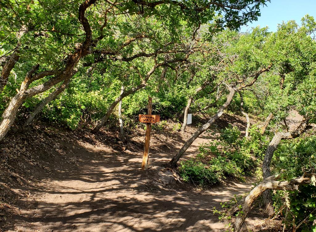
As Lehi's Dream reaches Mo-mentum, you can either take the flyover (crossing Mo-mentum) to ride the Lehi's Dream Jump Line, or take the right-fork connector to Mo-mentum.
If you take the 0.4-mile Lehi's Dream Jump Line instead of descending Mo-mentum, your ride will still be 2.2 miles, but you'll end on the doubletrack connector just uphill from the Sensei trail crossing.
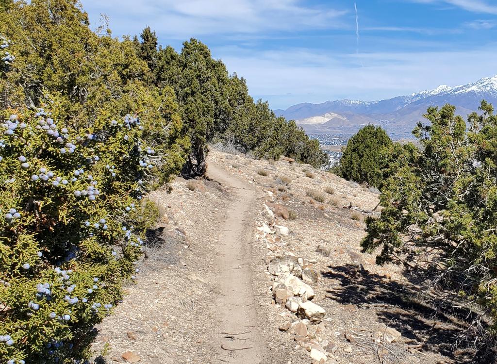
At this elevation, and with some north-facing slopes, the expected riding season will be late May through October.


The main access point for those who drive to the Traverse Mountain trails is the new paved trailhead in Fox Canyon. From Traverse Mountain Blvd turn onto the Fox Canyon road and drive to the top of the pavement. There's parking for around 20 vehicles, with a toilet and other amenities planned. The trail entry is on the northern wing of the parking complex. At the northwest corner, find a paved strip leading uphill to a dirt doubletrack (which then turns to the right uphill). Follow the dirt road 100 yards uphill to where the Sensei trail crosses.

Riding north, you can connect to Mo-mentum then Traverse Traverse. At the ridgeline, fork to the right on Mayors Trail and climb to the top of Lehi's Dream

You can take Mo-mentum either direction to reach Traverse Traverse, which will then take you to Mayors trail. Both put you at the bottom (north) end of Mayors trail. From there, you'll climb Mayors to the top of Lehi's Dream.
(1) Western route: On the dirt road above the Fox Canyon trailhead, turn left on the singletrack Sensei trail. When you reach Mo-mentum at mile 1.2, turn right. At the next trail fork at 1.8, keep left uphill on Traverse Traverse and pedal 2.1 miles. Turn right on Mayors at 3.9 miles from the trailhead. Now pedal 1.7 miles to the top of Lehi's Dream.
(2) Eastern route: Climb the dirt road from the Fox Canyon trailhead, but turn right on Sensei. After 0.1 mile, turn left uphill on Mo-mentum. Climb 1.8 miles, then make a hard right turn onto Traverse Traverse heading east. Go another 2.1 miles to Mayors trail at the ridgeline. Turn right and climb 1.7 miles to the ridgeline then transfer to Lehi's Dream.

You can reach the southern end of Mayors trail riding Lolo's in either direction. From the Fox Canyon trailhead, turn to the right from the doubletrack on Sensei. Climb 1.3 miles, then make a hard left onto Lolo's eastern end. Continue the climb for another 1.4 miles to Lolo's highest point, then make another hard left turn onto Mayors trail. Pedal 0.6 miles to a ridgeline area -- with a doubletrack to your right -- where Lehi's Dream forks downhill to the left.
Note: if you decided to climb the western side of Lolo's, it's 1.3 miles from Sensei to Mayors trail.

On western Ann's trail above Draper, go to the trail fork for Traverse Traverse. This is found 1.2 miles above the western end of Ann's, or 0.9 miles west of the fork between Ann's and the Maple Hollow TH connector trail. (If you started at the Maple Hollow trailhead, it's 2.0 miles to Traverse Traverse.)
Turn uphill and ride the "wiggles" up to the top of the ridge. At mile 1.3 from the trail fork, you'll reach a doubletrack on a ridgeline. Cross over, then turn to the lefty onto Mayors trail. Ride 1.7 miles south and uphill to the top of Lehi's Dream.

At the west side of the trailhead, there's a singletrack called Highland Connector forking to the left from the Maple Hollow connector trail. Ride 1/10th mile to Deer Ridge Drive and turn right uphill. Stay on Deer Ridge until you reach a saddle around mile 2. Fork right downhill and coast 1/4 mile to a gate. Lehi's Dream is to your right, just past the gate.

One mile into the climb up Deer Ridge, turn left on a smaller doubletrack. In 1/4 mile, the Beware of Doug trail crosses. You can go either direction. The left side is a bit shorter and more direct. Be sure you're not blundering onto a hiking-only trail, which also crosses the doubletrack at this same spot.

If you're arriving via Mayors from Traverse Traverse, you can swing onto the wide doubletrack to the right to make a turn to position yourself for the drop-in.
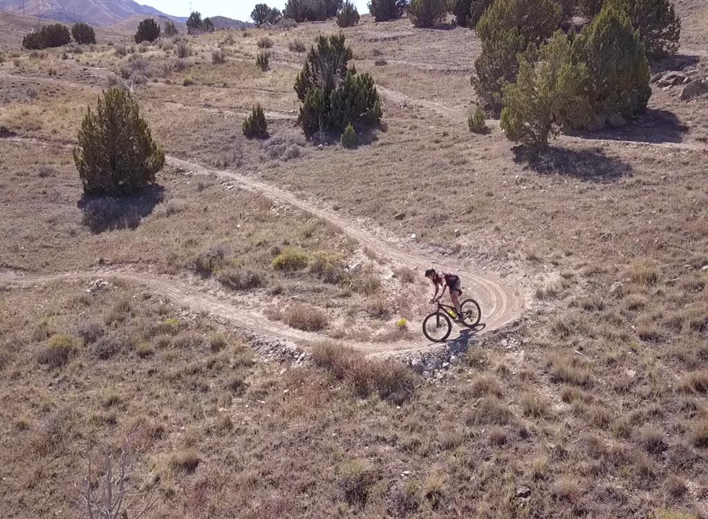
The Lehi's Dream DH section is 1.8 miles long with 750 feet of elevation loss over its course. In general, the trail has a gentle downhill grade with brief dirt plunges and rock roll-downs. At mile 1.8, you can either switch to Mo-mentum for further singletrack descent, or hit the 0.4 miles of the Lehi's Dream Jump Line. (See below!)
Lower Mo-mentum will add 0.4 miles of gentle downhill and another 100 feet of elevation loss. Remember that Mo-mentum is a two-way trail! Stay in control and be prepared to stop! When you hit Sensei, you can fork left for another lap, or go right to return to the trailhead.


The overall ride is upper-intermediate, but many intermediate riders will choose to walk a couple of rock areas.


My suggestion is to take a far-right entry, then begin to angle to the left across the rocks. This completes half of the turn before you hit the bottom, so you can let the bike bounce and roll.
There's no shuttle route for this ride. You'll need to earn your vertical. The trail was designed for all-mountain bikes, not big gravity rigs. There are no engineered jumps or stunts.


I'd suggest that you try the ride with both clockwise (Mo-mentum, Traverse Traverse, and northern Mayors) and counterclockwise (Lolo's, and southern Mayors) loops.


If you're destined for the jumps, keep straight.
There are 12 jumps -- if I counted correctly. The first 11 are table jumps. The final jump has two ramps side by side, so you can select between difficult and very difficult as it launches you into a step-up.
 be seen under the bridge.")

You can bypass a ramp if necessary, although it's not recommended. The tables are broad, and riders are already zooming up to the tabletop alongside the ramps.
At the lip of each jump, the wood continues horizontally from the launch. This horizontal segment protects the table so you don't wind up with erosion between the dirt table and the ramp. From uphill, though, it will appear that there's a substantial gap between ramp and table.


As you reach the Sensei crossing, keep on the doubletrack. In just a few feet, you'll reach the bottom of Lehi's Dream jump line, to your left. Keep to the right on the doubletrack. As the broader path ends, continue straight on singletrack that climbs the bottom of the canyon.
When you reach Lehi's Dream (mile 0.5), turn sharply to the right (keeping left is NOT an option, as Lehi's Dream is one-way DH only at this spot). Drop down the fly-over and you're on your way. Laps from the bottom of Lehi's Dream jump line will be 0.8 miles each, with 130 feet of climbing/descending per lap.
 and the connector to Lehi's Dream (right), heading east uphill.")

The 0.4-mile jump line at the bottom of Lehi's Dream is for air experts. There aren't any "baby step" options here to learn on. If you don't already feel comfortable launching from a curved ramp, divert onto Mo-mentum.

Get onto Traverse Mountain Blvd in Traverse Mountain. North of the elementary school, turn onto the Fox Canyon road and drive to the top of the pavement. There's parking for around 20 vehicles, with a toilet and other amenities planned. The trail entry is on the northern wing of the parking complex.
Maple Hollow: At the 4-way stop at the top of Suncrest, turn west on Deer Ridge Drive. To to Elk Glen Drive and turn right, then quickly left into the parking area.