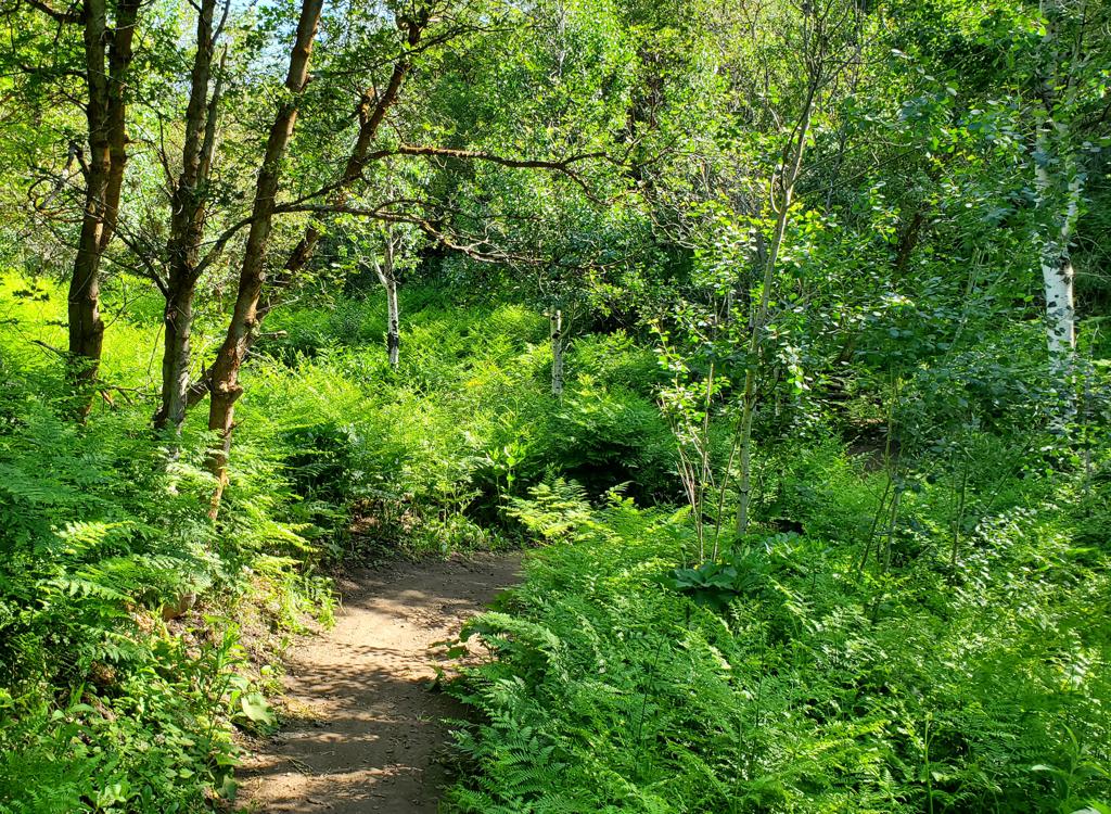
The tiny East Bench Preserve lies in the eastern foothills at around 21st South. The trails here will likely be of interest only to those who live nearby. There's a traversing trail that crosses the hillside from north to south, joining two trailheads. On the lower slope is a loop of narrow technically-challenging singletrack that is probably not officially sanctioned.
Devonshire Drive has a few parking spots in the circle at the end of the road. Here a paved path takes southbound you into the preserve.
Lakeline Drive has several parking spots at the end of the street. Here the wide cindered path enters the preserve northbound. This trailhead is just 1/10th mile uphill from the northern end of ">Parley's Pointe BST.
Scenic Drive's northern end has a trail angling north into the preserve. After 100 yards, this intersects bottom of the singletrack loop.


From the south, a wide cindered trail sits on top of the water line. This trail heads north, contouring the hillside before ending just below the "H" on the mountain. As this trail reaches the northern end of fenced private property at mile 0.1, a narrow singletrack trail forks away downhill. This trail stays a bit below the Waterline trail. It will connect directly to the paved trail from Devonshire Drive. The combination of the Waterline and Devonshire trails is yields only 0.5 miles between the two trailheads.
At mile 0.2, a DH trail originates on the Waterline trail and crosses the Devonshire trail. It will drop 100 vertical feet then loop around, with a zigzag climbing route to bring you back up to the northern side of the Devonshire trail. A loop down and back up (including the 0.2 miles of Devonshire to tie the two ends together) is exactly one mile.


At mile 0.4, the H Trail reaches a broad trail that climbs from the end of Scenic Drive, visits a rock outcrop, then descends to Mohawk Way. Join the broad trail, then immediately fork to the right uphill on the narrower trail. This is the climbing route to the top.


East Bench Preserve Lakeline Drive TH: As above, turn off Foothill Drive onto 21st South. Turn right on Scenic Drive. Turn hard left to Lakeline Drive and continue uphill to the end of the road to park.
Devonshire Drive TH: From Foothill Blvd, take Skyline Drive uphill. Turn right at Eagle Way, then left onto Commanche Drive. Turn right when you hit Devonshire and proceed to the end of the road.
(The map of Parley's Pointe BST is used here in case you were including the climbing portion of the H Trail as a dirt route uphill to the BST.)
Bathrooms: none at either trailhead
Water: none
Repair kiosks: none
GPS track files (right-click and "Save as..."):
Area GPX multi track file
Map of the area trails: View
Lodging, camping, shops: Links to northern SLC resources


