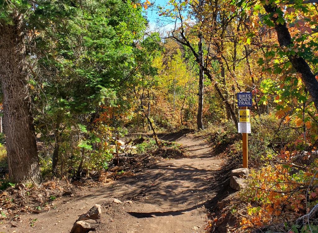

The East Mountain Wilderness Park (EMWP) in Kaysville has a system of singletrack trails surrounding the Bonneville Shoreline Trail (BST). The trails are relatively easy to ride, with only a few very short spots that beginners might need to hike. The area is at 4900 feet elevation, with an expected riding season of mid-April through November. The trails are almost completely shaded by old-growth trees.


Avoid the BST connector trail on Kays Crest (see topo map). The trail seems prominent, because a lot of riders have turned uphill here before turning back. The connectors are very steep, and the official BST is just a little bit further north.

Graveyard is signed as an expert-level trail, but 95% of the riding surface is easy. The areas of rock garden stunts are short and easily walked by beginning riders.


An alternative is to keep straight and downhill, then take a sharp left turn at the next intersection. (If you reach the fence and road, you missed it.) This route will join the other trail just before it reaches the doubletrack.


Start out northbound on the Kays Crest loop connector, but then just explore everything. The park is not that big. Pay no attention to the "Expert," "Intermediate," "Easy" designations. The spots you'll walk are very short, and easily spotted before you can get in trouble.
Getting there:
Exit I-15
onto US-89. Zero your odometer as you go under the first overpass on the
exit. Drive north 3.3 miles to a stoplight at 200 North in Kaysville.
There's a small "Kaysville" sign on the right side of US-89.
Turn right, then immediately left. Follow the road as it turns uphill and
drive to "East
Mountain Wilderness Park," parking in the gravel area just before the
sign. The doubletrack just past the
sign is the main doubletrack trail. There's a connector trail on the north
side of the parking lot that will take you over to Bamberger.
Facilities: bathroom at trailhead
See the topo map (link below) for higher detail on these trails.
GPX multitrack file
High-resolution topo map for printing: View map
Lodging, camping, shops: Links to Ogden area resources