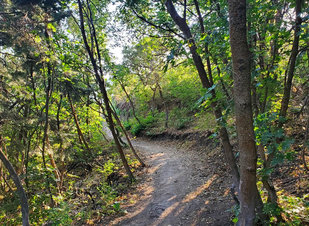
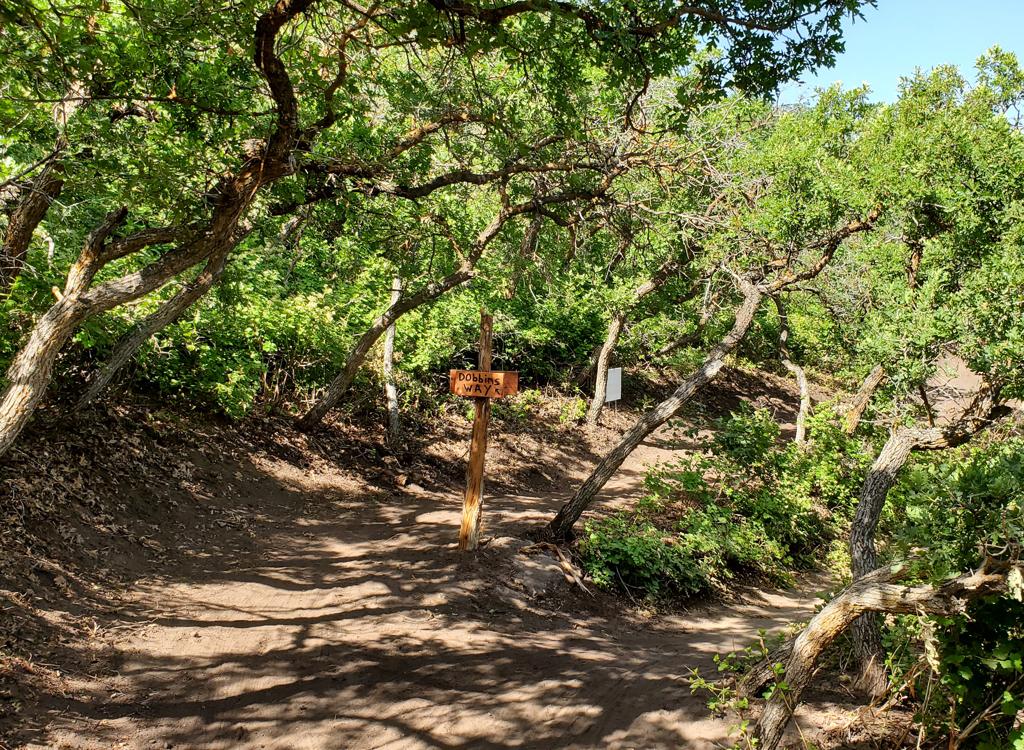
View southwest as the Mutton Bustin and Buckaroo trails rejoin at the bottom. Ph...
View southwest as the Mutton Bustin' and Buckaroo trails rejoin at the bottom. Photos and review by Bruce on June 25, 2021.
Rodeo DH trails at Blackridge
One-way trails for beginners and kids

The Rodeo DH trails are located in Herriman, just 1/2 mile uphill from the popular Blackridge Pond recreation site. These two short and easy trails are intended for children and true beginners. With the information on this page, parents may find it easier to decide on this activity. For details about the connected trails, see the pages on lower Blackridge and the upper Blackridge trails.

The trails are reached via the Blackridge trail, which starts at the far northwest corner of the parking area at Blackridge Pond. There are several parking spots on the west end reserved for trail users. The pond features a small playground, covered picnic area, and bathroom.
The trail area is 100% sun-exposed and will get warm on summer afternoons. The trails dry quickly after rain. The usual riding season will be mid-April through November, but the trails may occasionally be clear for standard bike traffic in winter.
Looking southwest at Blackridge Pond from the Blackridge trail.
Climbing Blackridge. The trail was rebuilt in 2020 for a more meandering but les...
Climbing Blackridge. The trail was rebuilt in 2020 for a more meandering but less erosion-prone layout and an easier climb for the kids.
To reach the Rodeo DH trails, pedal up the Blackridge trail. The trail is broad and smooth at this point, with a gradual uphill slope. There will be 100 vertical feet of climbing over the 0.7 miles to the Rodeo DH entry (around 1.5% average slope).

On the way uphill at mile 0.4, you'll first pass the trail fork to Sidewinder . Keep left. Next comes the exit from the Rodeo DH trails. Keep left on the hairpin turn. The trail sign here could be a bit more clear. Even the "No Uphill Riding" part can be easily overlooked, or misunderstood because the trail is fairly flat at this point and newbs to the system may not know which end goes "uphill." This trail exit needs a dedicated sign that says Do Not Enter. Maybe it will have one by the time you ride.

At mile 0.7 of easy uphill pedaling, you'll reach the entry to Rodeo DH on your right. Meanwhile, the Blackridge trail continues uphill and becomes a bumpier and steeper ride before it ends at the junction of Eric's trail and Diamondback .
The Rodeo DH entry immediately splits into two trails called Buckaroo and Mutton Bustin'. The trail on the right, Mutton Bustin', is shorter and significantly easier. I suggest it be the first trip down the mountain for your kids.
Were at the entry to Rodeo DH! Mutton Bustin on the right; Buckaroo on the left....
We're at the entry to Rodeo DH! Mutton Bustin' on the right; Buckaroo on the left.
Mutton Bustin is less than 1/4 mile long.
Mutton Bustin' is less than 1/4 mile long.
Mutton Bustin'
The Mutton Bustin' trail is 0.2 miles long. It has a steady and gentle rate of descent as it winds back and forth across the hillside. At this time, any embedded rocks are small and don't require that a child stand on the pedals to bump over them.
Mutton Bustin' rejoins Buckaroo just before the trails exit onto Blackridge. The climb back uphill to the top of Rodeo DH is 0.3 miles with less than 50 feet of total climbing.
For those of you whose culture hasn't educated you to the nature of "Mutton Busting" it's time for a teaching moment. Mutton Bustin' is a rodeo event featuring young children and sheep. Your tender four-year old child is lifted onto the back of a terrified ewe and told to hold onto the wool of the sheep's back. When the ewe is released and bolts away, any child who doesn't immediately fall over backwards is scraped off on the fencing of the arena as the panicked sheep tries to find a way out. Or the kid tumbles sideways into the manure when the ewe's turning speed generates sufficient G-forces. Many children actually survive this without a concussion or broken arm. And the watching adults have a good laugh. Ah, good times.
Near the bottom of Mutton Bustin.
Near the bottom of Mutton Bustin'.
Buckaroo starts out with a northbound traverse before turning around the tree.
Buckaroo
Buckaroo is the left-hand choice. It is 0.3 miles long, with the same 50 feet of vertical descent over its length. There are some flattish sections that will require pedaling.
While it's an easy trail to ride, Buckaroo is significantly more challenging to kids than Mutton Bustin'. There are some humps engineered into the trail, and the turns are tighter and a little steeper.
Each lap around the system is around 1/2 mile. Two times down each trail would make a good day for most kids. The open terrain lets you keep an eye on multiple children who are riding at their own pace.
A bumpy section of Buckaroo.
map
Rodeo close-up map of the beginner routes
Here's the trail layout in a close-up. Older kids and teens can do the loop of Sidewinder to Diamondback to Blackridge while the young ones stay on the Rodeo DH trails. Unattached adults can tackle the expert trails reached by climbing Eric's trail. (See the wider-area map below.)
Bathrooms, water, playground and shaded picnic facilities are at Blackridge Pond. There are several parking spots at the far (uphill) end of the parking strip that are reserved for trail users.
Bottom Line!
Good choice for an introduction to dirt. And Blackridge Pond offers fun after-ride activity for the family.
A tighter turn with more down-slope on Buckaroo.
map
map of the Blackridge area trails
Blackridge trailhead:  From the Bangerter Highway, turn west onto 13400 South and drive 2/3 mile. Turn left (south) at the Mountain View Corridor and drive about a mile. At the traffic light, turn right onto Rosecrest Road. After 1/2 mile, turn left onto Juniper Crest. (Watch out! From Rosecrest, the street signs to your right give the northbound continuation of Juniper Crest another name!) As you see that you're leaving the dense homes and are approaching a bridge across a ravine, turn right onto Ambermont Drive. (Again, caution. The continuation of Ambermont east of Juniper Crest has a different name.) Over the next half-mile, Ambermont goes southwest, then west, then turns to northwest. Now fork left on Aurora Vista. Quickly turn right onto Esher Street, then left at Ashland Ridge and enter the parking area for Blackridge Pond. (If you reach a "do-not-enter" exit from Blackridge Pond on the right and a "bozos-stay-out" sign for a private neighborhood straight ahead, you went too far on Aurora Vista. Turn around and go back to Esher Street.) The trail starts at the far end of the parking strip.
Fees: Beginning in 2024, there is a $15 fee to park at Blackridge Reservoir on weekends and holidays from May until mid-September!