South Provo Canyon Section
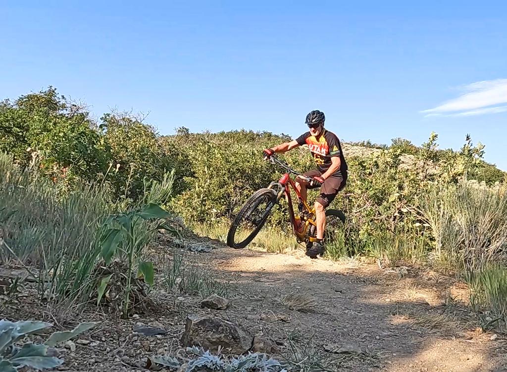
The Bonneville Shoreline Trail is a series of trails along the slope of the Wasatch Mountains where the old shoreline of Lake Bonneville met the hills. Sections of trail are found from Ogden to Payson. The Provo Canyon section of the Bonneville Shoreline Trail is an experienced-intermediate singletrack hill climb, followed by a fairly flat and easy cruise out to a view over Utah Valley.
The trail starts on the Provo River Parkway , between the Bridal Veil Park parking lot and Bridal Veil Falls. About 0.1 mile up the paved path, look for the Bonneville Shoreline sign and a singletrack on your right. It's a fairly steady climb, gaining about 500 feet over the first mile.


The trail continues the BST route from the North Provo Canyon BST (Orem Bench and Dragon's Back), with a bit of the Provo River Parkway required for the connection from Canyon Glen Park to just above Nunn's Park in Provo Canyon.
At this time (latest update 2016), there's no formal connection between the west end of this trail and the Provo Bench section of the BST that starts southbound at Rock Canyon.


The sideslope is quite steep, and there are occasional rough sections that might make beginners nervous. During the climb, you'll be riding through gamble oak, maple, currant, oregon grape, and an occasional pine.
Once you reach the flat singletrack, it's nice cruising and simple navigation. If you watch carefully, you'll see some branching singletracks to Pole Canyon, the Kyhv Peak Road lower parking, and the Kyhv Peak Circles. See the Kyhv Peak circles page.

At 3.6 miles (GPS N 40 18.771 W 111 38.355), the newer Upper BST singletrack climbs up over the ridge to your left. Note the spot, but continue on the pipeline trail out to the viewpoint 1/2 mile later. Say "Oooh, Awww." Then if you want more riding, come back to the singletrack and climb.
From the Upper BST you can also connect uphill via the Cactus Hill connector to upper Kyhv Peak area trails (see Kyhv Peak Downhill page).
Or just call it good, turn around, and head back to Provo Canyon.
0.0 East (up canyon) on paved trail
0.1 Hard R uphill on ST (BST)
N40 20.278 W111 36.479
2.0 Straight (L = Pole Canyon)
N40 19.069 W111 37.424
2.5 Straight (R = Kyhv Pk Parking)
N40 19.117 W111 37.816
2.6 Straight (L = Circles)
N40 19.126 W111 37.859
2.8 Straight on DT (L = exit from Luna's Trail)
N40 19.236 W111 38.034
Option: R for ST trip around hill
3.2 Rejoins N40 19.232 W111 38.136
2.9 Fork rejoins on R
N40 19.232 W111 38.145
Cross paved road
N40 18.772 W111 38.354
or L = Upper BST
3.9 R (L = Cactus Hill to road)
N40 18.589 W111 38.281
4.6 Join Kyhv Peak DH route
N40 18.197 W111 38.272
4.2 View and turnaround
N40 18.781 W111 38.989
or descend to Indian Hills
4.8 Arrive at pavement
N40 18.574 W111 39.180
5.1 At Canyon Road
8.4 Back at parking
Provo River Parkway Orem TH: Many riders park at the mouth of Provo Canyon on Orem's 800 North Street (parking is left just past the gas station as you reach the canyon, before you enter the overpass). GPS N 40 18.840 W 111 39.472. Crank up the canyon to connect.
GPS track files (right-click and "Save as..."):
Track TH to Indian Hills
Area multi-track file
High-res topo for printing: View map
Lodging, camping, shops: Links to Provo area resources


